Hike Sargent and Penobscot Mountains from JPH with Island Explorer Bus
What to Expect
Safety Advisory
The iron rungs and granite slab scrambles on the Penobscot approach get dangerously slick when wet. If morning fog or rain is in the forecast, delay your start or choose a different route — a wet iron rung on a steep pitch is no joke.
Both summits are fully exposed with zero tree cover. Afternoon thunderstorms roll in fast along the coast, and you are the tallest thing on a bald granite dome. Check the forecast obsessively and start early enough to be off the ridgeline by early afternoon.
The trail markings between Penobscot and Sargent can be faint on the open granite sections. In fog, this traverse becomes genuinely disorienting — carry a downloaded trail map on your phone since cell service is unreliable on the ridge.
Trail Details
Pro Tips
Take the Island Explorer Bus one-way and make this a point-to-point hike instead of an out-and-back — it cuts nearly two miles of redundant trail and saves your knees on the descent. Check the bus schedule the night before, because the last bus leaves earlier than you think.
Hit Penobscot first, then traverse to Sargent. The scramble up Penobscot is steeper and more technical, and you want fresh legs for the iron rungs. Going this direction also means your final descent on Sargent South Ridge is the more gradual of the two.
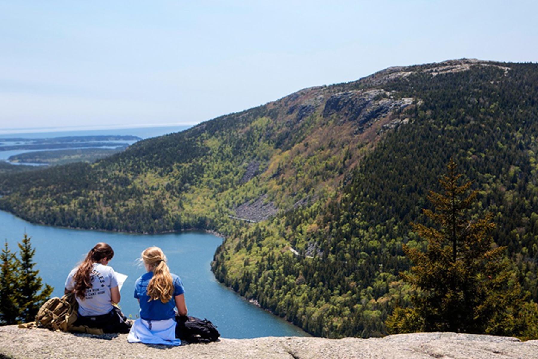
The summit of Sargent has a surprisingly secluded feel compared to Cadillac's parking-lot-summit vibe. Bring a windbreaker and a sandwich — on a clear day you can see Mount Desert Island laid out like a topographic map, and the flat granite slabs make perfect lunch seats.
Photos
 Photo by Emma Forthofer, Friends of Acadia