Big Bend National Park

Hike the Lost Mine Trail

First-Time VisitorsPhotographersFamilies with Teens
2.4 mi Distance
Varies Estimated Time
roundtrip Trail Type

What to Expect

Lost Mine Trail is the kind of hike that makes you understand why Big Bend regulars get a faraway look when they talk about the Chisos. You start at Panther Pass and immediately begin climbing through a pinyon-juniper woodland that feels nothing like the desert you just drove through. The trail is well-built — thank the Civilian Conservation Corps — with solid footing on rocky switchbacks that gain over a thousand feet without ever feeling punishing. Midway up, the views crack open: Juniper Canyon drops away to your left, and the Sierra del Carmen in Mexico lines the eastern horizon. The summit viewpoint delivers a full panorama that'll have you rotating in circles like a compass needle. At under five miles round-trip, this is the best effort-to-payoff ratio in the park. Perfect for hikers who want a real climb without committing to a full day in the backcountry.
First-Time VisitorsPhotographersFamilies with TeensHalf-Day HikersSunset Chasers

Safety Advisory

Lightning is a serious concern on the exposed upper ridge, especially during summer afternoon monsoons that build fast and without much warning. If you hear thunder or see dark clouds stacking to the south, turn back immediately — the summit is the worst place to be.

The final viewpoint has steep, unguarded drop-offs on multiple sides. Keep close watch on children and resist the urge to edge out for that perfect photo angle.

Trail Details

Distance 2.4 miles round-trip
Estimated Time Varies
Trail Type roundtrip
Pets Not allowed
Season Year-round
Trailhead Hike the Lost Mine Trail

Pro Tips

Trail Tip

Start by 8 a.m. to snag trailhead parking at Panther Pass — the small lot fills fast, especially on spring weekends, and overflow means walking the road shoulder.

Trail Tip

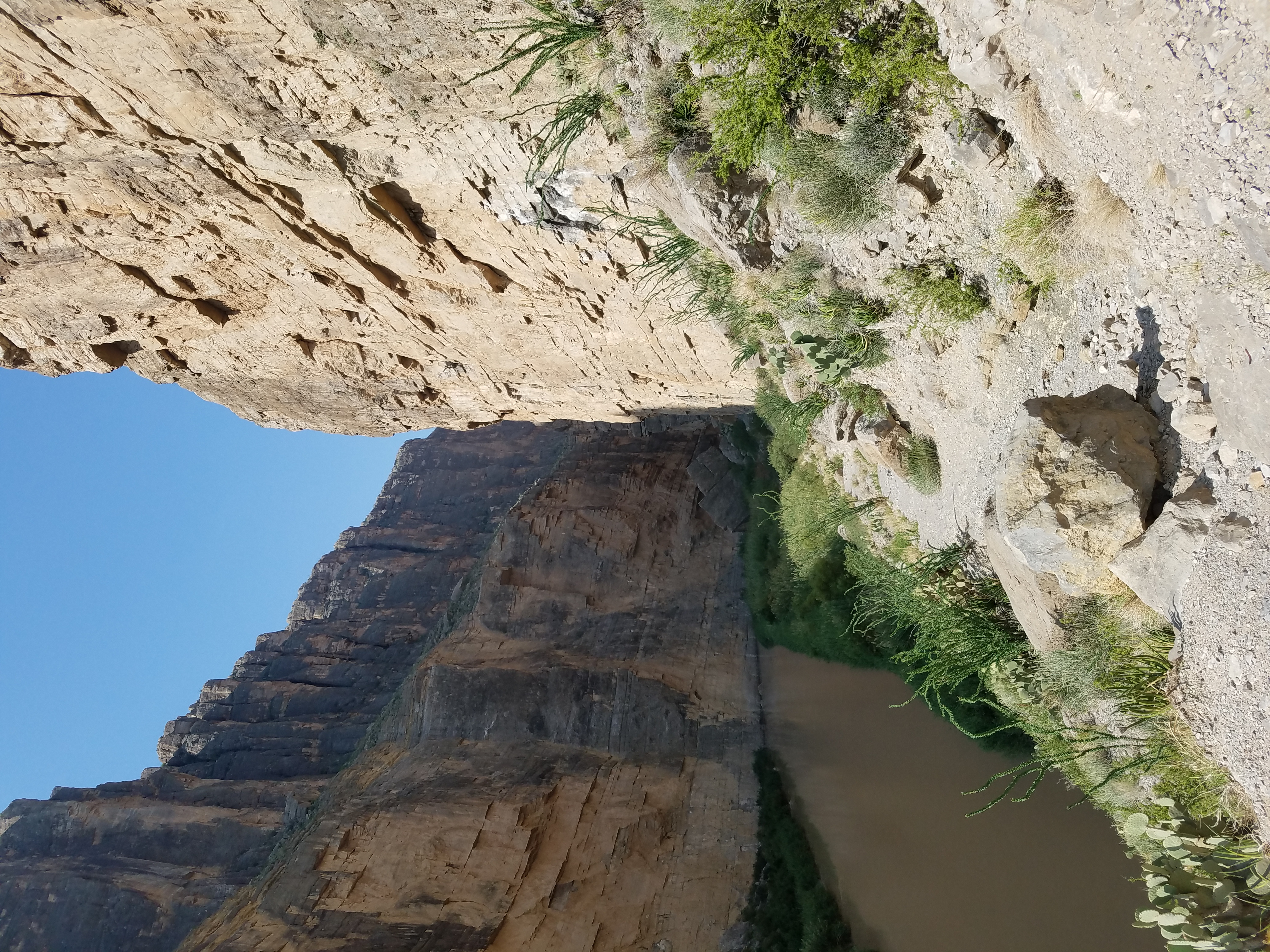
The trail is more exposed than it looks from the trailhead. Carry at least two liters per person and wear a sun hat — the pinyon trees thin out considerably in the upper half.

Trail Tip

The interpretive trail guide (pick one up at the Panther Junction visitor center or the trailhead box) is genuinely worth reading. It identifies specific plants and geological features at numbered posts, turning the climb into something more than just a cardio session.

Photos

Getting There

More Trails in Big Bend

Explore Big Bend National Park

4 campgrounds, 57 trails, 561K annual visitors

View Park Guide