Bryce Canyon National Park
Updated
Overview
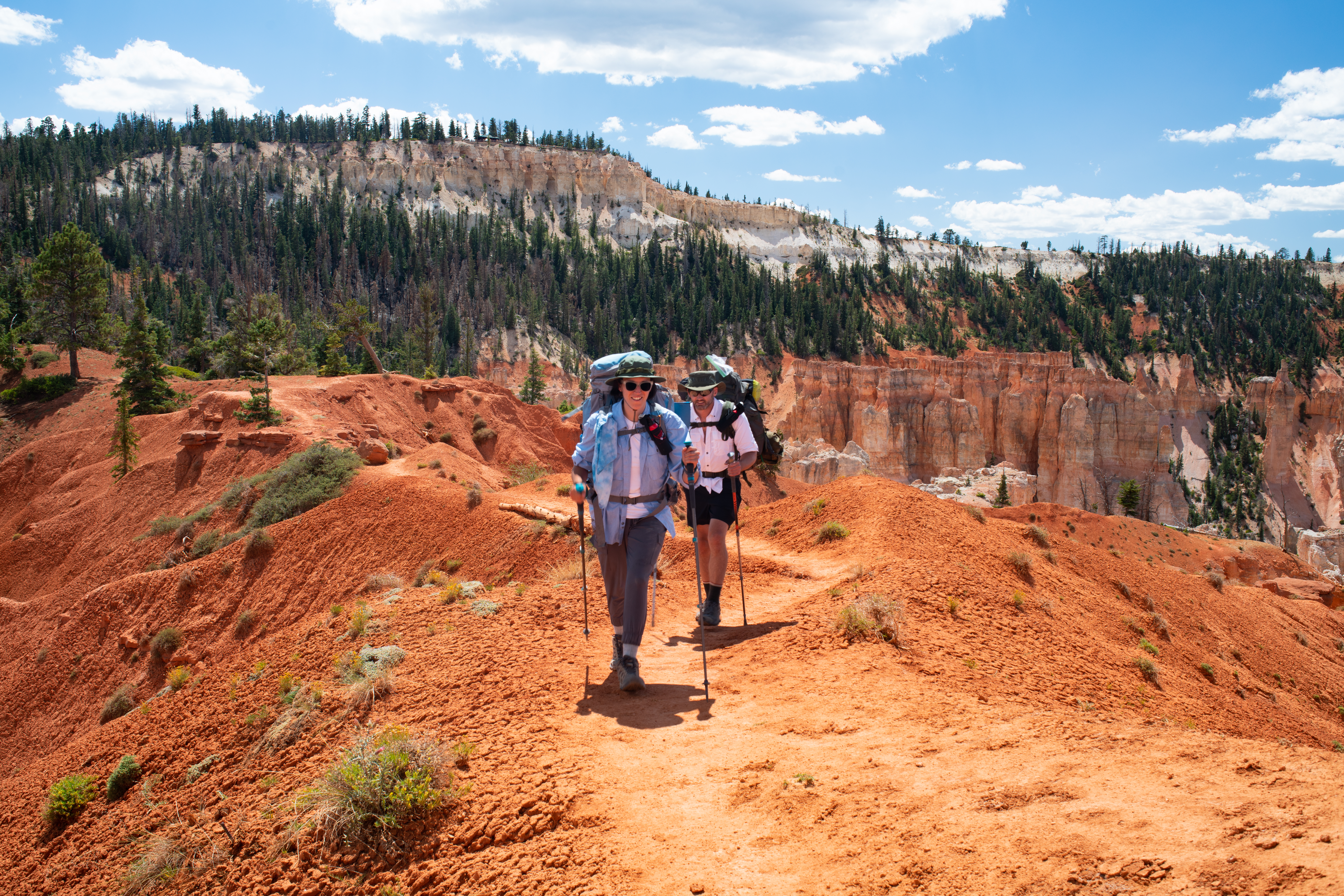
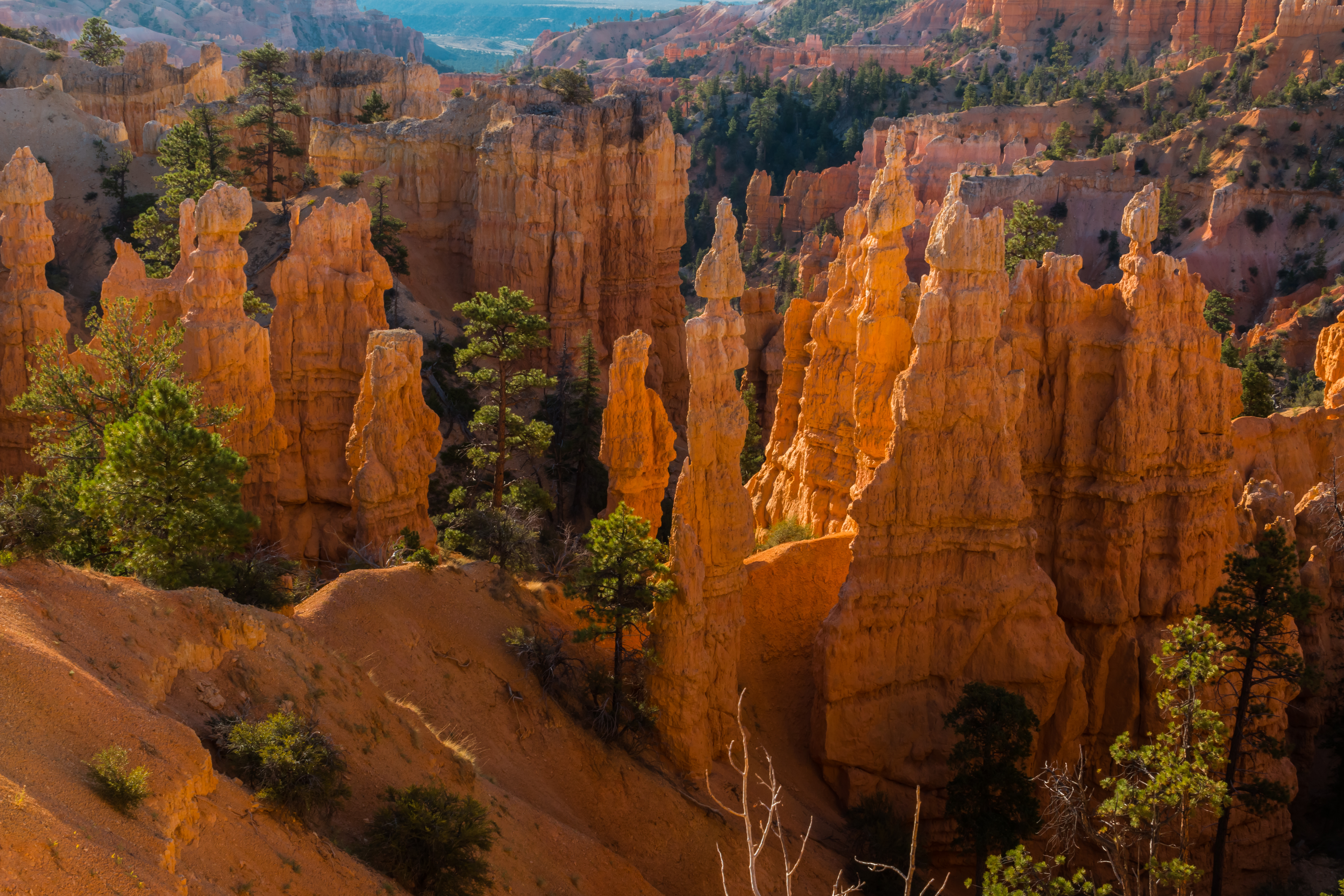
Bryce Canyon packs the world's largest concentration of hoodoos—spindly rock spires carved by ice and time—into just 56 square miles along Utah's high plateau. The amphitheater views from the rim are stunning, but the real magic happens when you drop below into the maze via Navajo Loop or Queen's Garden. Trade-off: with 2.5 million visitors and a congestion index of 8.7, you'll share the experience unless you time it right. The $35 entrance fee buys access to genuinely unique geology you can't see anywhere else on Earth.
Hit the Navajo Loop's Wall Street section before 8am in May or June—you'll catch direct sunlight illuminating the towering Douglas firs and orange hoodoos in the narrow canyon, while most visitors are still on the rim. The light show lasts about 45 minutes and transforms the slot from shadowy to spectacular.
When to Go
The sweet spot is May — good weather meets manageable crowds. Peak season hits in September.
Peak conditions: warm days, cool nights, wildflowers in full bloom. All trails open and dry. The month the park earns its reputation.
Monthly crowd levels — click a month for details
How Busy Is It?
How Bryce Canyon compares to all 62 national parks
Busier than 92% of national parks
Very BusyMore crowded trails than 90% of parks
Very BusyHigher campsite pressure than 70% of parks
Above AverageNotable Trails
Bryce Canyon has more trail mileage than 45% of national parks, with 60 miles across 20 maintained trails.
The difficulty split leans moderate to strenuous — only 30% of trails are rated easy.
Under-the-Rim Trail
Riggs Spring Loop
Fairyland Loop
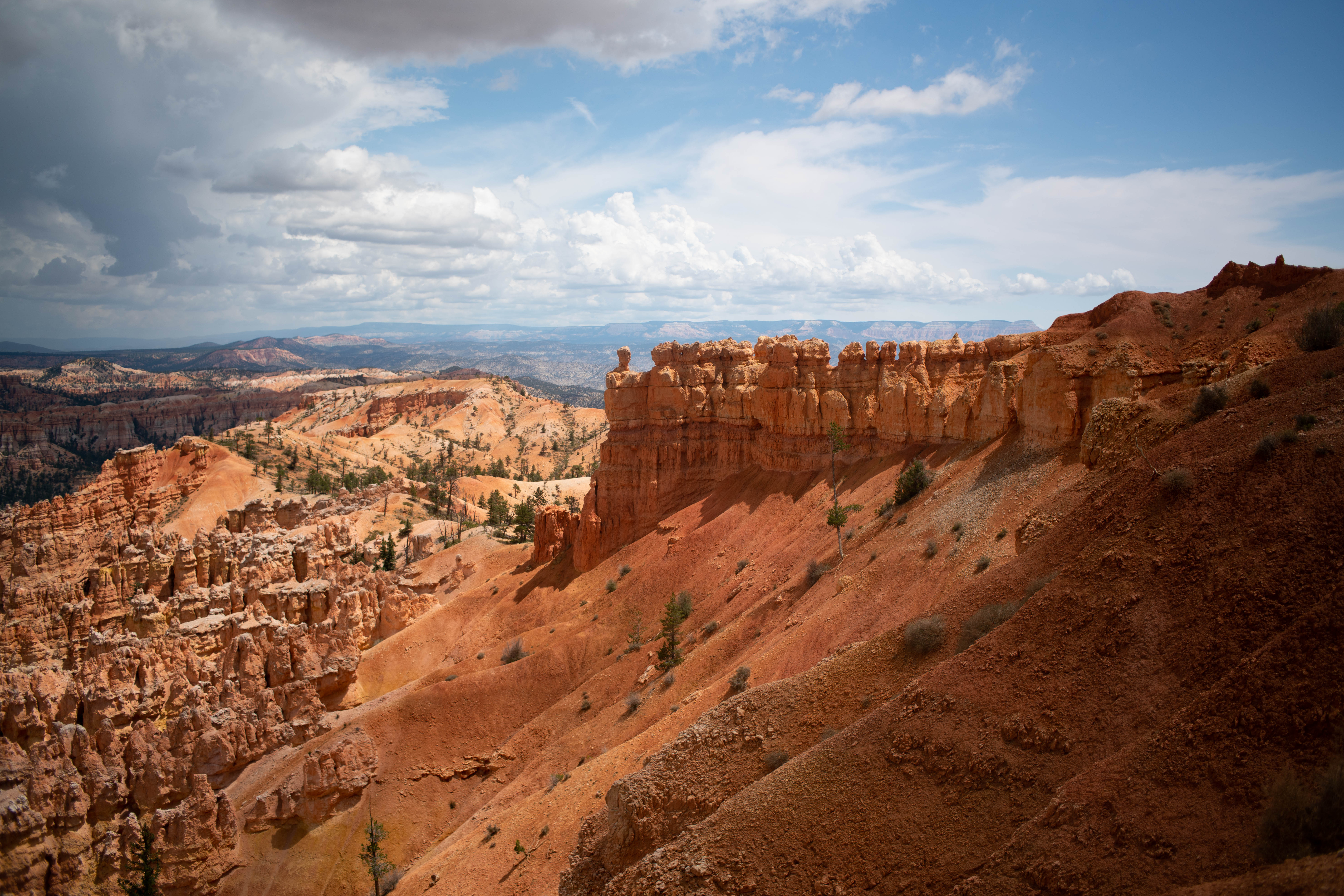
Figure-8 Combination
Start early — Bryce Canyon's most popular trailheads fill up by mid-morning in peak season.
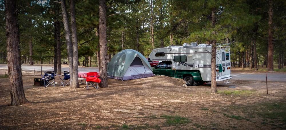
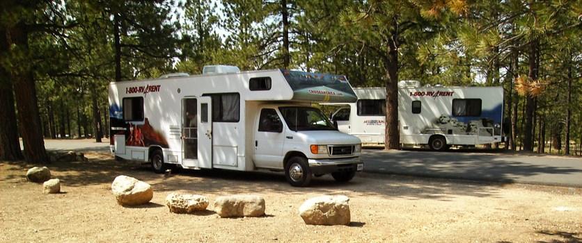
Camping
2 campgrounds with 199 total sites. All sites require reservations.
Top Activities
Bryce Canyon excels at 9 of 17 activity types — here are the standouts rated 7/10 or higher.
Photography
10/10World-class photography destination for hoodoos, sunrises, and sunsets
Stargazing
10/10Dark Sky Park with exceptionally clear night skies and minimal light pollution
Hiking
9/1020 trails of varying difficulty through unique hoodoo formations
Scenic Driving
9/1018-mile scenic park road with 13 major overlooks
Bird Watching
8/10Over 175 bird species including ravens and mountain bluebirds
Ranger Programs
8/10Ranger talks, sunrise programs, and natural history walks
Wildlife Viewing
7/10Mule deer, mountain lions, coyotes, and chipmunks
Cross Country Skiing
7/10Scenic rim trails available in winter when snow permits
Snowshoeing
7/10Popular winter activity on park trails
Who It's For
Planning Your Trip
Getting There
Nearest city: St. George, UT (52 mi). Fly into SGU.
In-Park Services
No gas in park · Lodging available · Cell: limited
Gateway Town
Bryce, UT — limited amenities
Featured In ?Rankings based on data-driven scoring across all 62 national parks.
Stories
Gateway Cities
Road Trips
Bryce Canyon is a stop on these road trips:
Compare Bryce Canyon
See how Bryce Canyon stacks up against other national parks — crowds, trails, and more.
Compare Bryce CanyonFrequently Asked Questions
When is the best time to visit Bryce Canyon National Park?
The best month to visit Bryce Canyon is May, based on a balance of weather, crowds, and accessibility. Peak visitation is in September. The park has 7 comfortable months for visiting.
How crowded is Bryce Canyon National Park?
Bryce Canyon is very crowded, with a congestion index of 8.7/10. The park receives 2.5M visitors annually across 56 square miles.
How many trails does Bryce Canyon National Park have?
Bryce Canyon has 60 miles of trails across 6 easy, 9 moderate, and 5 strenuous routes. Popular trails include Navajo Loop Trail, Queen's Garden Trail, Rim Trail.
Can you camp at Bryce Canyon National Park?
Yes, Bryce Canyon has 2 campgrounds with 199 total sites. Some sites are available first-come, first-served.
Is Bryce Canyon National Park open year-round?
Yes, Bryce Canyon is open year-round, though some roads and facilities may close seasonally. The park's climate is classified as high_altitude_plateau.