Sheets Gulch
What to Expect
Safety Advisory
Flash flood risk is the real danger here. Never enter when rain is forecast anywhere in the watershed — storms miles away can send a wall of water through the narrows with zero warning. Check weather for the entire region, not just your location.
This is an unmaintained, unsigned route with pour-offs and scrambling sections that present genuine fall hazards. A twisted ankle out here means a long, painful self-rescue with no cell service and likely no other hikers to help.
Carry all the water you'll need — there are no reliable sources in the canyon, and summer temperatures in enclosed sandstone corridors can push well past 100 degrees.
Trail Details
- 1
Access starts from the Notom-Bullfrog Road — study satellite imagery and download offline topo maps before you go, because there are no trail markers and cell service is nonexistent in the canyon.
- 2
Bring a 30-foot length of webbing or light rope for downclimbing pour-offs. Most are manageable without technical gear, but having a handline for your pack or less confident partners changes the math entirely.
- 3
Start early enough to have the canyon to yourself and finish before afternoon heat turns the enclosed sandstone into a convection oven. Morning light filtering into the narrows also produces the best photography conditions — the indirect glow off the walls is the shot you came for.
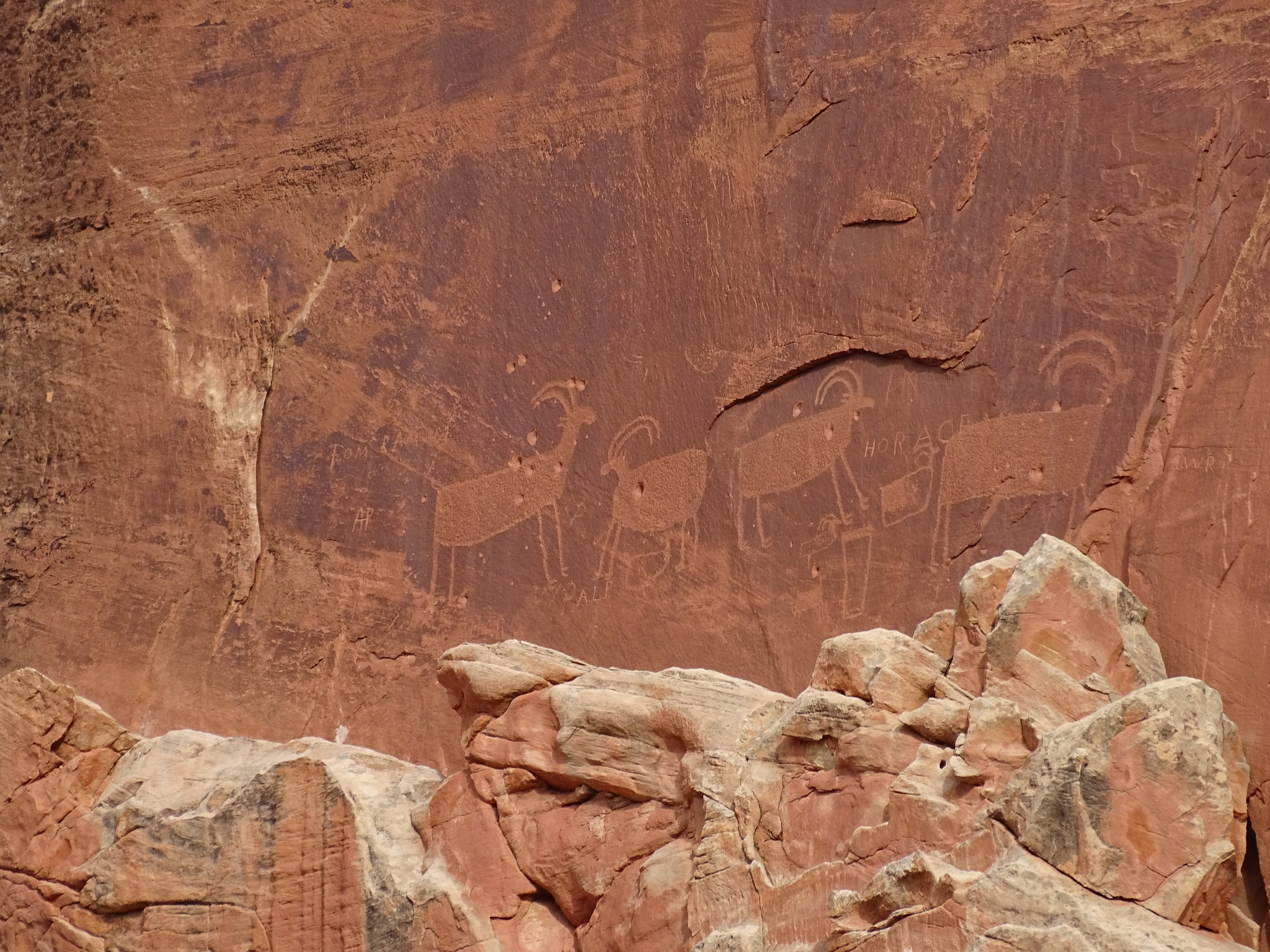
Photos
 NPS
NPS