Crater Lake National Park

Pacific Crest Trail

strenuous Thru-HikersSolitude SeekersExperienced Backpackers
33 mi Distance
1,226 ft Elevation Gain
Varies Estimated Time
one_way Trail Type

What to Expect

The PCT through Crater Lake is a different beast than the rim trails most visitors flock to. You're covering 33 miles of genuine backcountry, threading through old-growth hemlock and fir forests, crossing pumice flats that feel lunar, and skirting the caldera's edge where the lake appears and vanishes between the trees like a hallucination. The elevation changes are deceptively relentless — not one dramatic climb but a series of rolling gains and losses that wear on you over the miles. You'll pass through wildflower meadows in late July that rival anything in the Cascades, and the stretches along the rim offer views that make day-hikers on the Rim Drive pull over in envy. Snow patches linger well into July on north-facing slopes, turning the trail into a route-finding exercise. This is a trail for thru-hikers, seasoned backpackers, and anyone who wants Crater Lake without the crowds.
Thru-HikersSolitude SeekersExperienced BackpackersWildflower SeasonPhotographers

Safety Advisory

Snow covers significant portions of the trail through late June and sometimes into mid-July. Navigation becomes genuinely difficult on the pumice flats where the trail disappears under snowpack — carry a GPS device or downloaded maps, not just a paper trail guide.

This is bear country and you're in the backcountry, not the developed rim area. Bear canisters are strongly recommended for overnight trips, and proper food storage is essential at camp.

Lightning storms roll in fast during July and August afternoons. The exposed sections along the rim and pumice flats offer zero shelter — plan to be through high-exposure areas before early afternoon.

Trail Details

Distance 33 miles round-trip
Elevation Gain 1,226 ft
Difficulty strenuous
Estimated Time Varies
Trail Type one_way
Pets Not allowed
Season Year-round
Trailhead Pacific Crest Trail

Pro Tips

Trail Tip

Section-hike it by using the Rim Drive crossings at Dutton Creek and Lightning Spring — you can park a shuttle car and knock out manageable 10-15 mile days instead of committing to the full 33.

Trail Tip

Water sources are scarce along the PCT here, especially in late summer. Fill up at every creek crossing — Dutton Creek and Bybee Creek are your most reliable sources, but carry a filter and at least three liters between fills.

Trail Tip

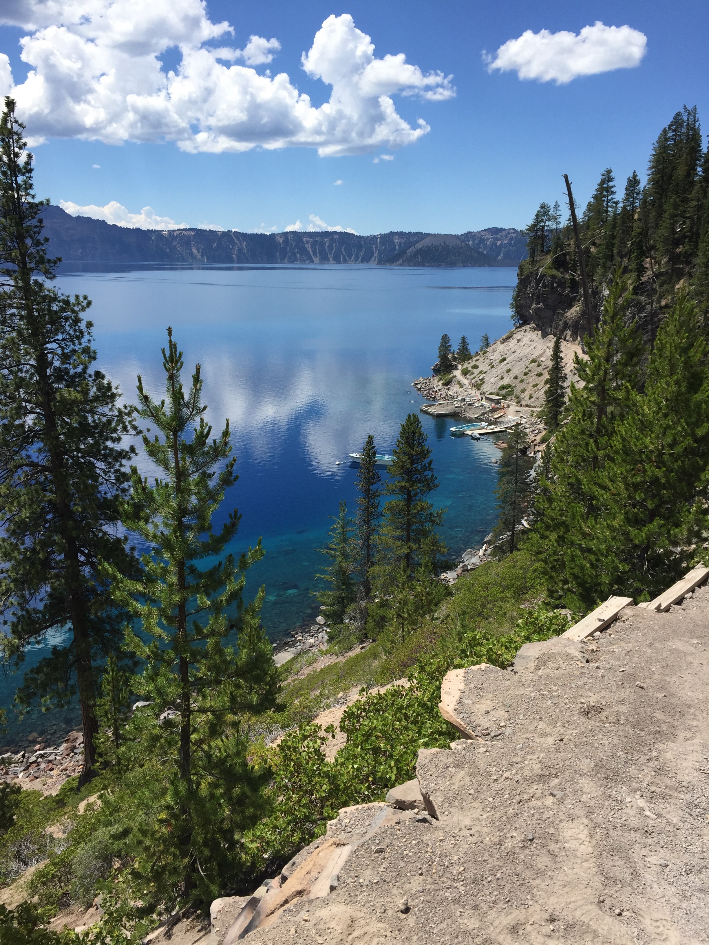
The stretch near the western rim between Dutton Creek and the north junction offers the most dramatic lake views on the entire route, but they're easy to miss if you're head-down grinding miles. Watch for unmarked spur paths on your right heading east — some lead to jaw-dropping overlooks with zero company.

More Trails in Crater Lake

Explore Crater Lake National Park

2 campgrounds, 52 trails, 505K annual visitors

View Park Guide