Rim Trail (full loop)
What to Expect
Safety Advisory
The rim edge is unfenced in many sections, with loose volcanic rock and sheer drops of 500-plus feet to the lake surface. Fatigue-induced missteps on the north rim, where the trail narrows and runs close to the edge, are the most serious hazard on this route.
At nearly 7,000 feet elevation, afternoon thunderstorms build fast from July through September. The exposed rim offers zero shelter and makes you the tallest thing around — if you hear thunder, drop below the rim on any available side trail immediately.
Snow lingers on north-facing sections into late July and sometimes August. Postholing through soft snowpack on a narrow rim trail is genuinely dangerous, not just annoying. Bring microspikes if attempting before August.
Trail Details
Pro Tips
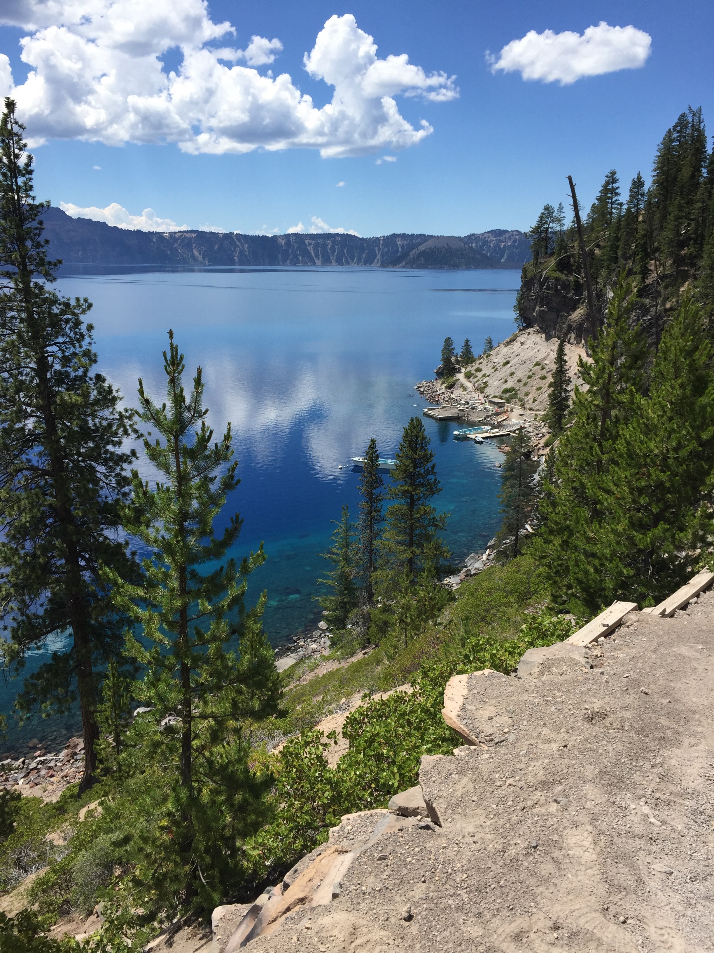
Break it into a two-day backpack or car-supported day hike — stash a bike or arrange a shuttle at Cleetwood Cove trailhead to split the loop into manageable halves, hitting the remote north rim while you're fresh.
The north rim between Pumice Point and Cleetwood Cove is the least-traveled stretch and stays snow-covered well into July most years. Check with rangers at Steel Visitor Center for current trail conditions before committing to the full loop.
Golden hour from Cloudcap Overlook on the east rim produces the deepest blue-on-blue contrast you'll find anywhere on the loop — time your passage to arrive there in the last two hours before sunset for photography that actually justifies the mileage.