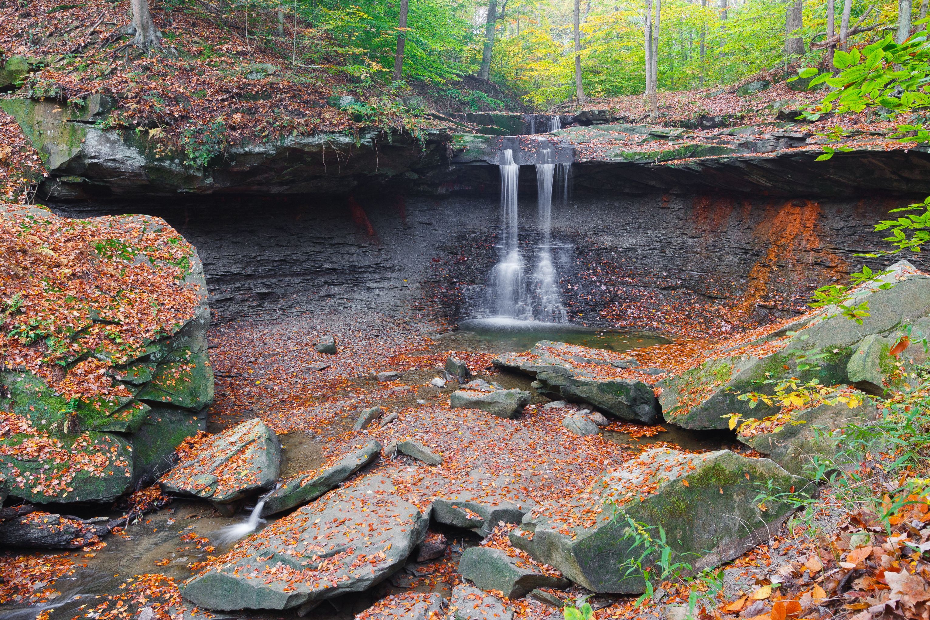
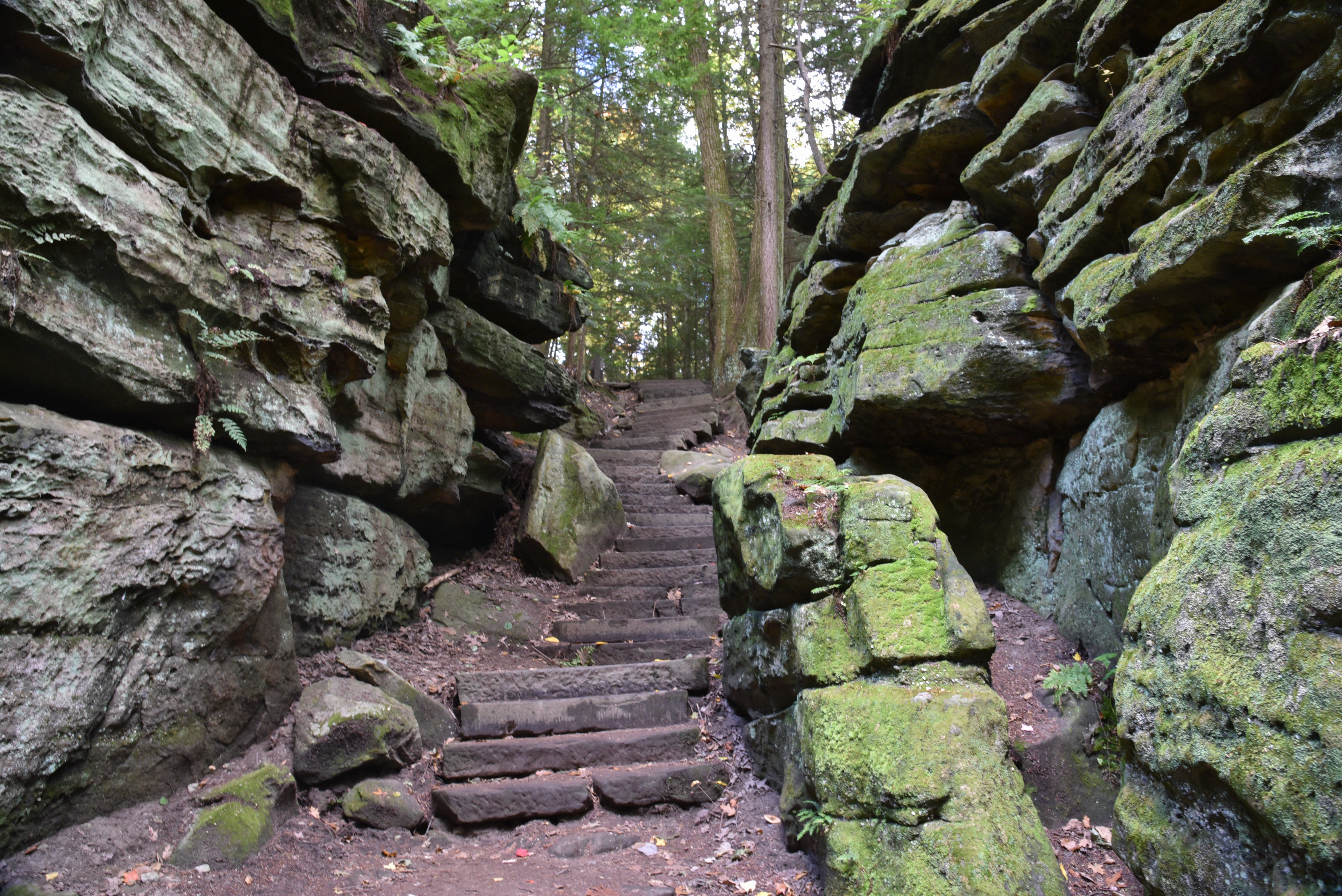
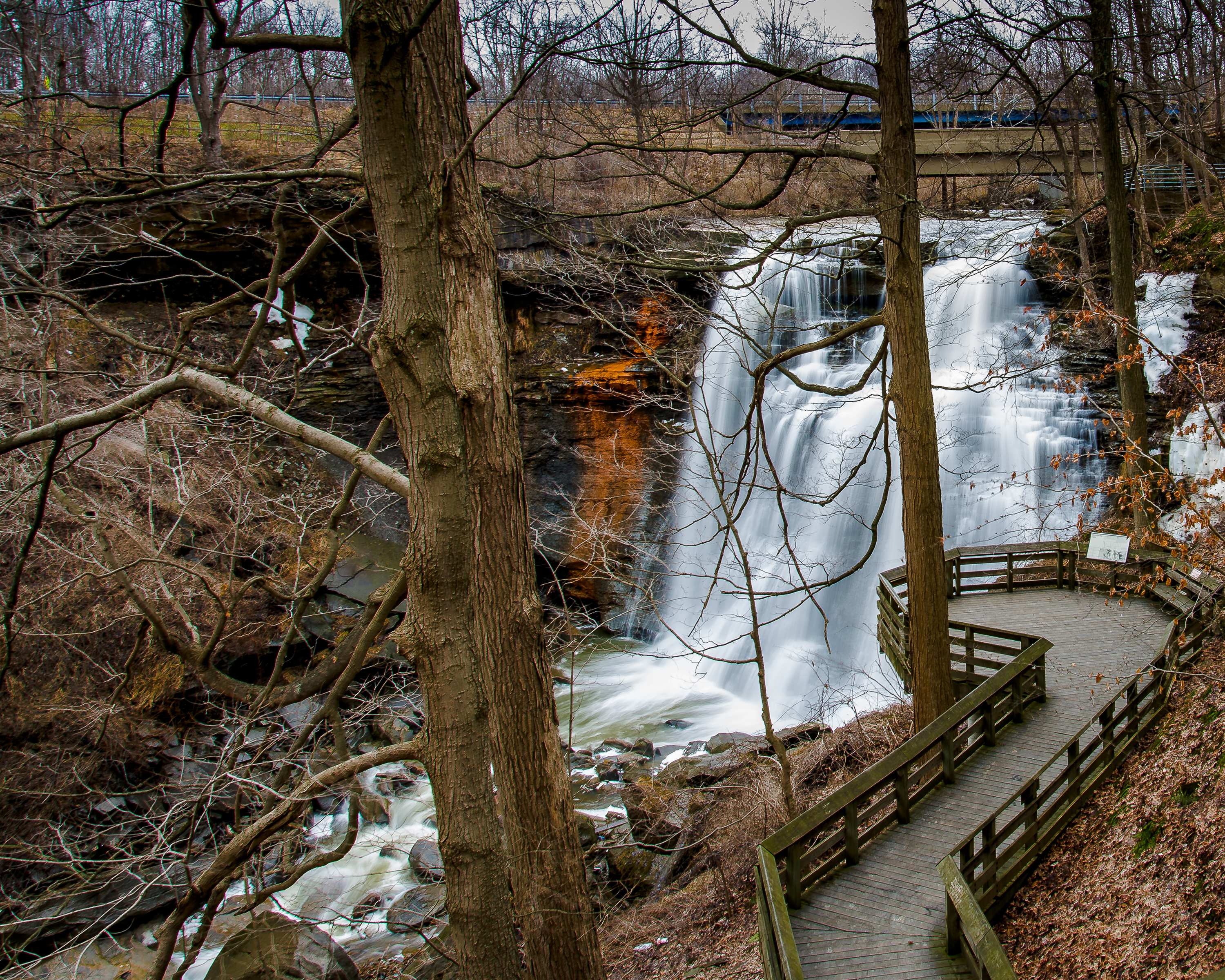
Cuyahoga Valley National Park

Langes Run Trail

easy_moderate Solitude SeekersDog-Free QuietFall Color
3.3 mi Distance
190 ft Elevation Gain
Varies Estimated Time
loop Trail Type

What to Expect

Langes Run starts from the Wetmore Trailhead and immediately sets a different tone than the towpath trails most visitors default to in Cuyahoga Valley. This is a proper woodland loop through second-growth hardwoods, with gentle rolling terrain that gains barely more elevation than a highway overpass — just enough to keep your legs honest without ever making you question your life choices. The dirt singletrack weaves through ravines carved by seasonal streams, crossing a few small drainages that can get muddy after rain. The forest canopy keeps things shaded and cool even on summer afternoons, and in autumn the leaf color here is genuinely spectacular without the crowds that mob Brandywine Falls. You won't find dramatic overlooks or waterfalls, but that's the point — this trail rewards people who enjoy being alone in the woods, listening to woodpeckers and crunching leaves underfoot. Ideal for hikers who want a quiet hour-and-a-half walk that actually feels like wilderness, not a paved suburban greenway.
Solitude SeekersDog-Free QuietFall ColorEasy Weekday EscapeTrail Runners

Safety Advisory

Sections along the ravine edges can be slippery when wet, and a few short descents have exposed roots that act like greased speed bumps after rain — trekking poles help if conditions are muddy.

Hunting is permitted in portions of the Wetmore area during Ohio deer season (typically late November through early February) — wear blaze orange if hiking during those weeks.

Trail Details

Distance 3.3 miles round-trip
Elevation Gain 190 ft
Difficulty easy_moderate
Estimated Time Varies
Trail Type loop
Pets Not allowed
Season Year-round
Trailhead Langes Run Trail

Pro Tips

Trail Tip

Park at the Wetmore Trailhead off Oak Hill Road — the lot is small but rarely full since most visitors cluster around the Brandywine and Blue Hen Falls areas to the south.

Trail Tip

Hike counterclockwise to get the slightly steeper descents on the back half when your legs are warm, and save the gentler stretches along the creek for the finish.

Trail Tip

The trail intersects with the Riding Run and Tabletop Trails, so bring the park trail map or snap a photo of the trailhead kiosk — signage at junctions can be sparse and GPS signal gets spotty under the dense canopy.

More Trails in Cuyahoga Valley

Explore Cuyahoga Valley National Park

125 trails, 2.9M annual visitors

View Park Guide