Backpack the Baker & Johnson Lakes Loop
What to Expect
Safety Advisory
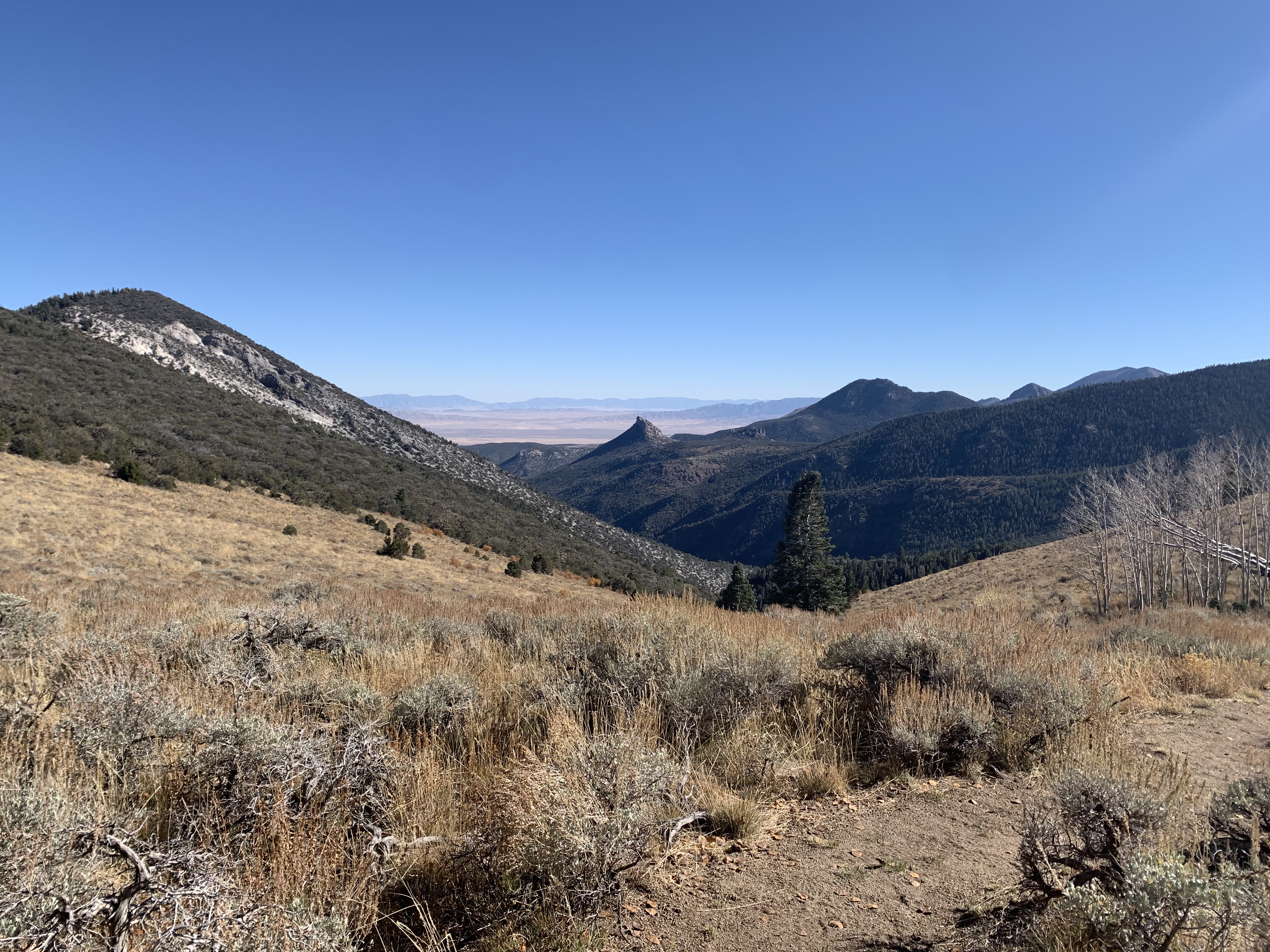
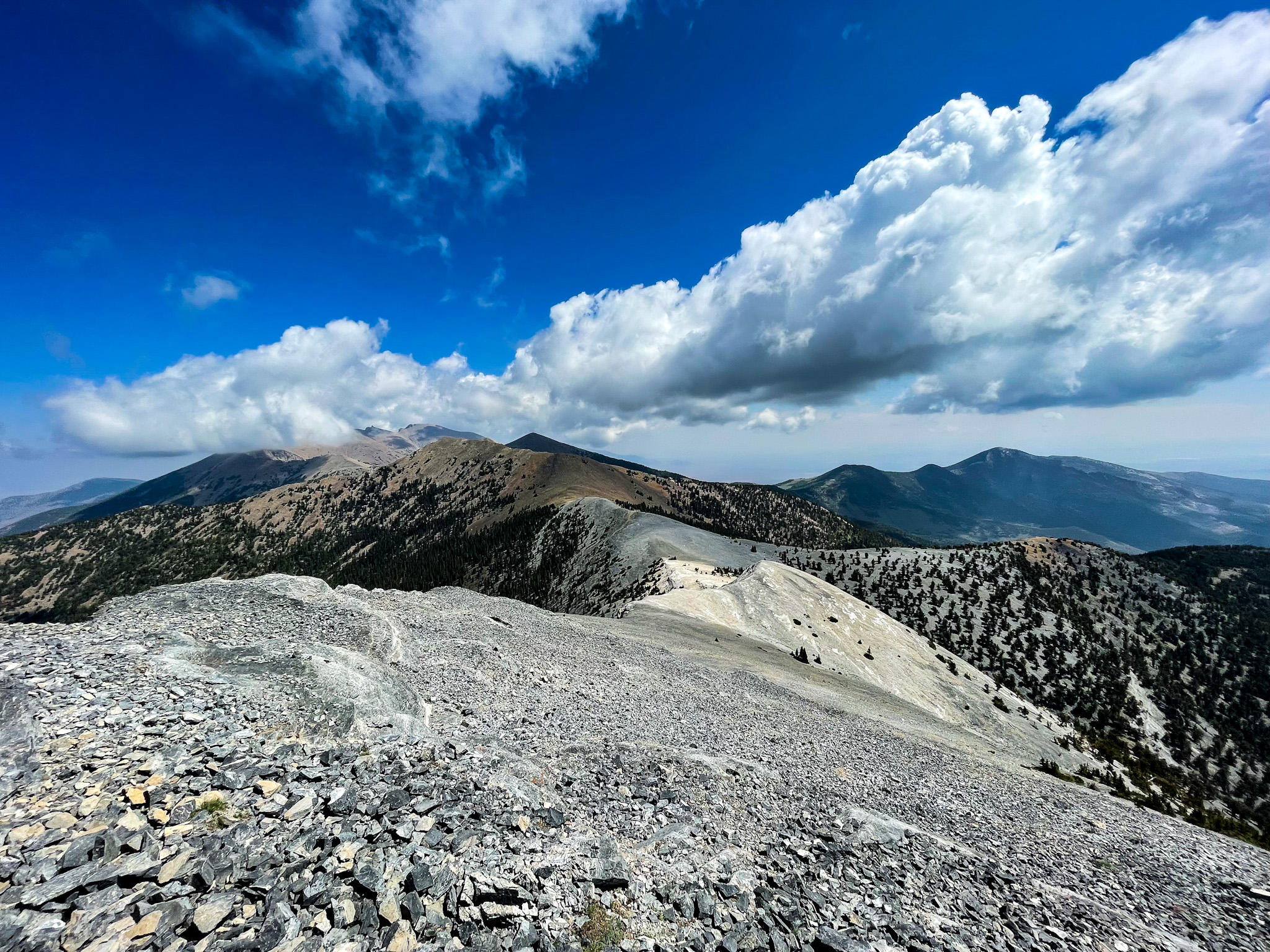
The ridge section between Baker and Johnson Lakes is fully exposed above treeline with no shelter. Afternoon thunderstorms build fast in the Snake Range from July through September — plan to be off the ridge by early afternoon or be prepared to descend quickly.
Starting elevation is 8,000 feet and the route tops out well above 10,000. If you're coming from sea level, spend a night at the campground or in the town of Baker before attempting this loop — altitude sickness is a real possibility on a strenuous route at this elevation.
Snow can linger on the north-facing slopes and the ridge traverse into late June. Microspikes and trekking poles are worth the weight if you're hiking before mid-July.
Trail Details
Pro Tips
Run the loop clockwise — Baker Creek to Baker Lake first. The grade is more gradual on this side, and you'll reach Baker Lake with fresher legs for the best camping spots near the shore.
Water is available at both lakes and from Baker Creek early in the route, but the ridge traverse between the lakes is bone-dry. Carry at least two liters for that exposed stretch and treat everything you collect — livestock graze in some of the surrounding drainages.
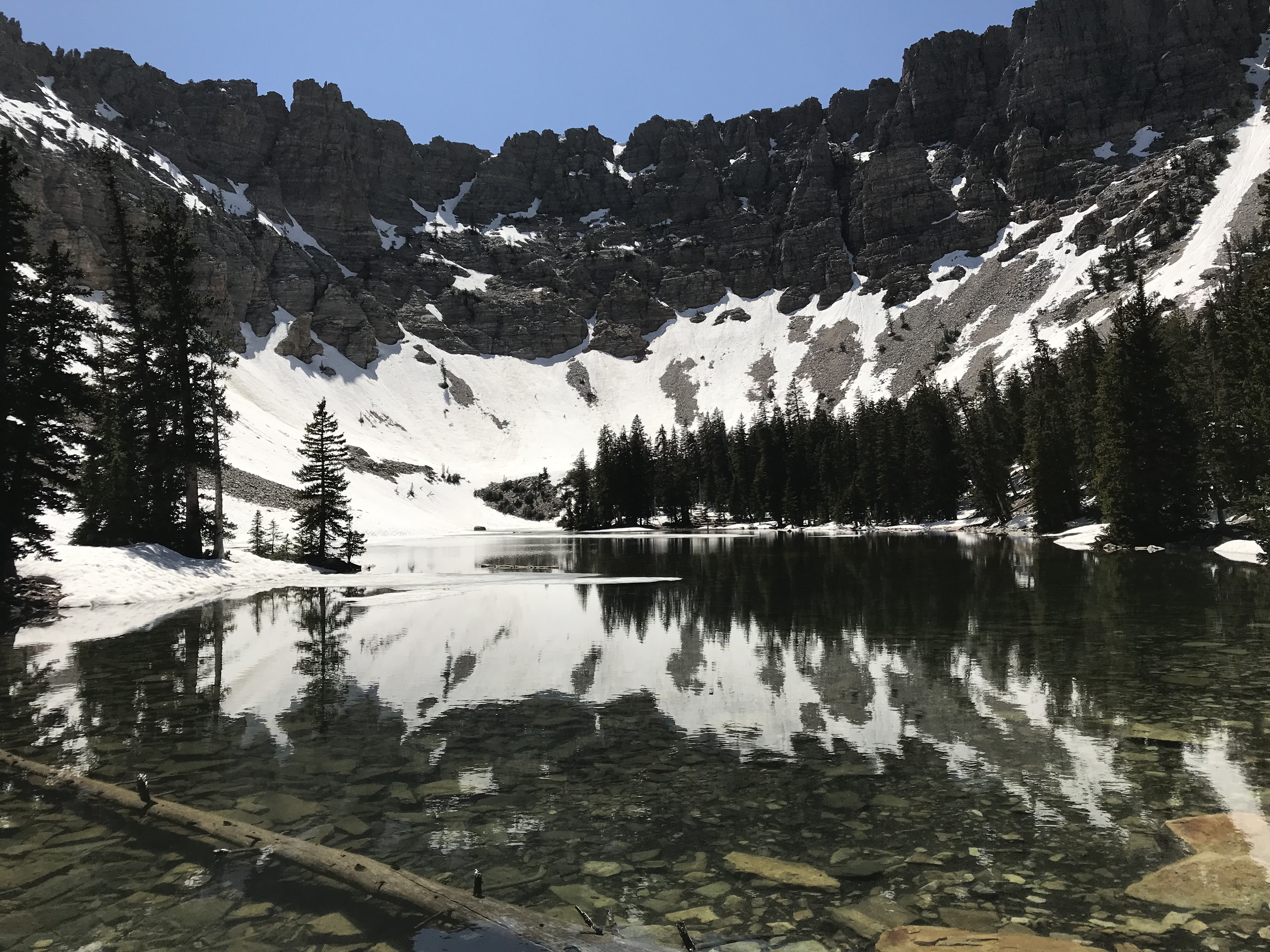
Camp at Johnson Lake for sunset and sunrise — the cirque wall catches alpenglow in a way that Baker Lake's orientation simply cannot match. The flat benches on the lake's east side are the most sheltered spots if wind picks up overnight.
Photos
 J. Reynolds