Hike the Highland Route
What to Expect
Safety Advisory
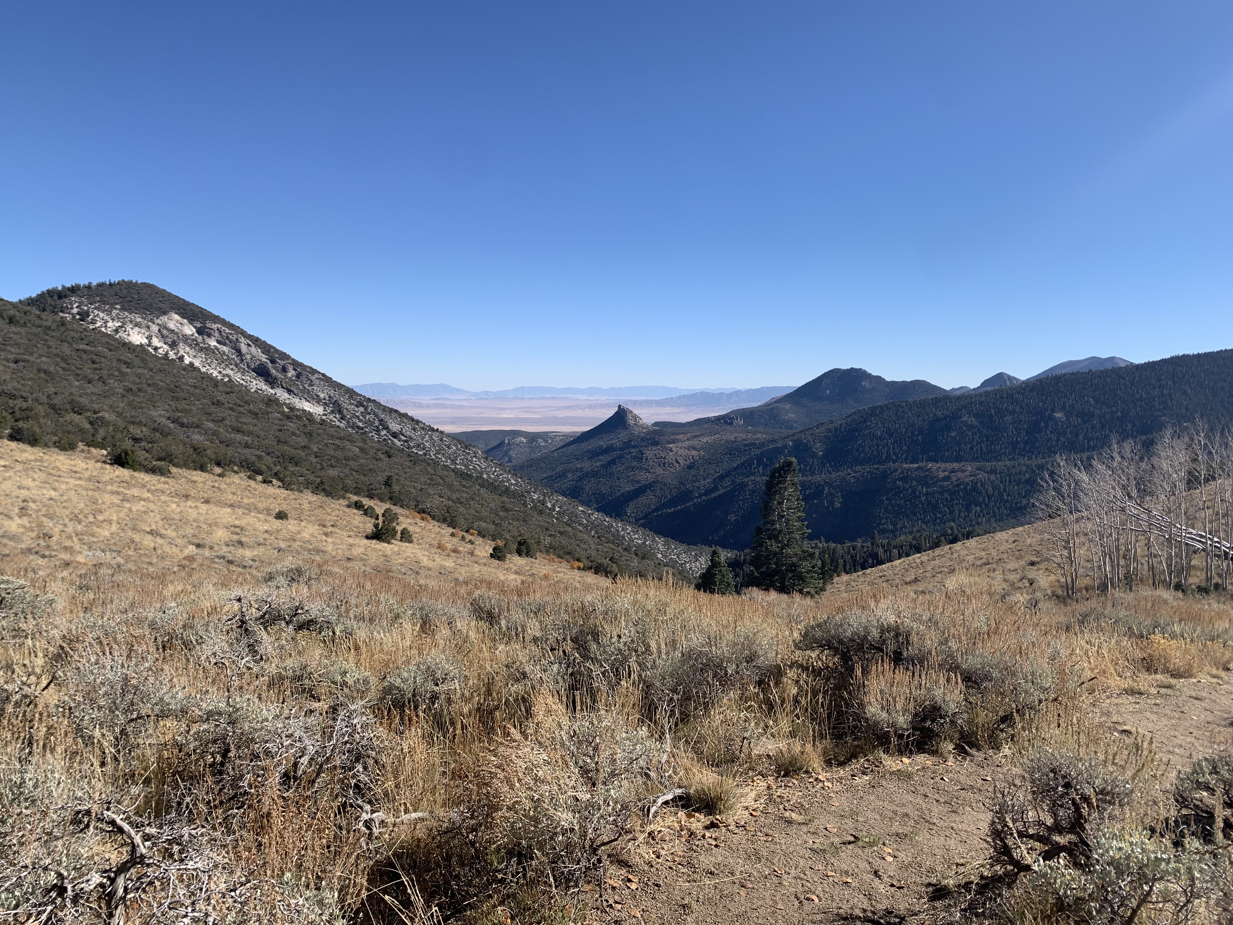
This route is entirely unmarked with no maintained trail — losing the ridge in fog or low visibility can put you in cliff-band terrain with no safe descent. Do not attempt without strong map-and-compass skills and a GPS backup.
Afternoon thunderstorms are common in summer and you'll be fully exposed on the ridgeline with zero shelter. Start at first light and plan to be off the high points by early afternoon.
The elevation changes are relentless and the thin air above 10,000 feet compounds the difficulty. Altitude sickness is a real concern if you're coming from sea level — acclimate for at least a day in Baker before attempting this route.
Trail Details
Pro Tips
Start from the Baker Lake end if you want to warm up on a known trail before committing to the unmarked ridge — it gives you a better feel for the terrain before the route gets serious.
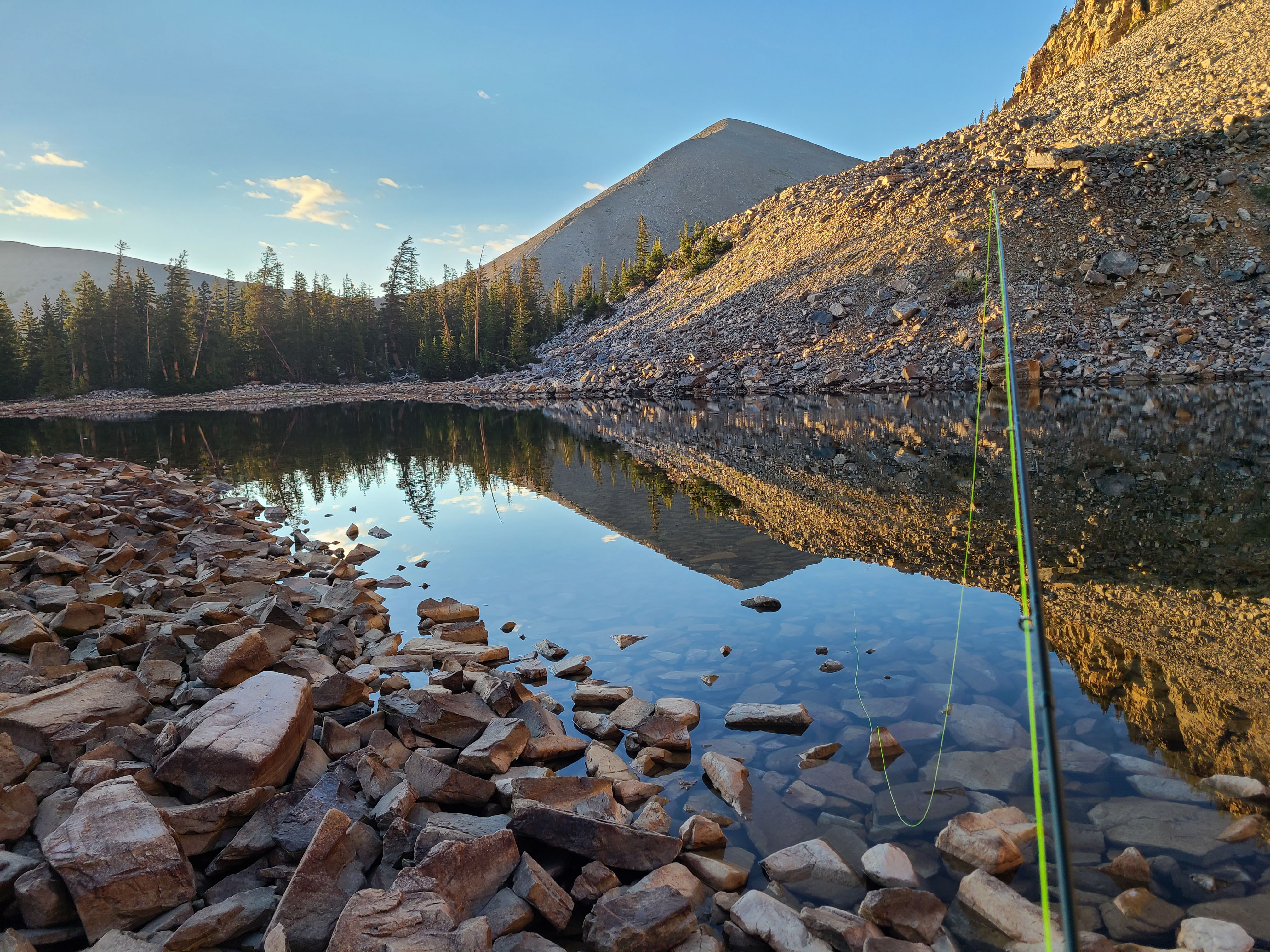
Carry a minimum of four liters per person and a full water purification setup. There are no reliable water sources along the ridge, and any snowmelt or spring you find should be treated as seasonal at best.
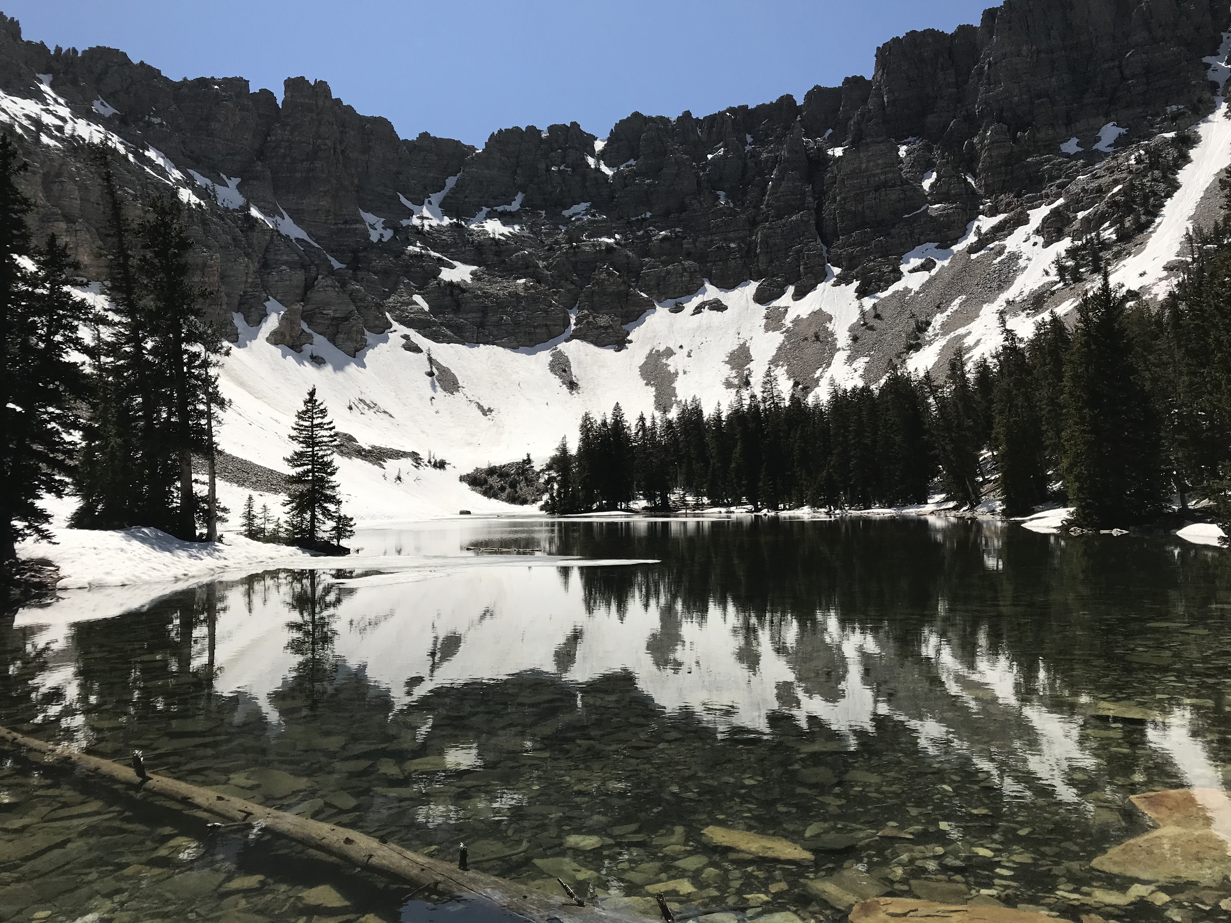
Download USGS topo maps for the Highland Ridge Wilderness and South Snake Range to your GPS device before you leave cell range — the BLM boundary area south of the park is particularly tricky to navigate with just a compass bearing.
Photos
 NPS
NPS