Hike the Snake Divide Route
What to Expect
Safety Advisory
Altitude is the silent hazard here. You start above 8,000 feet and climb past 11,000 — if you drove in from the valley floor that morning, altitude sickness is a real risk. Acclimatize for at least a day before attempting this route.
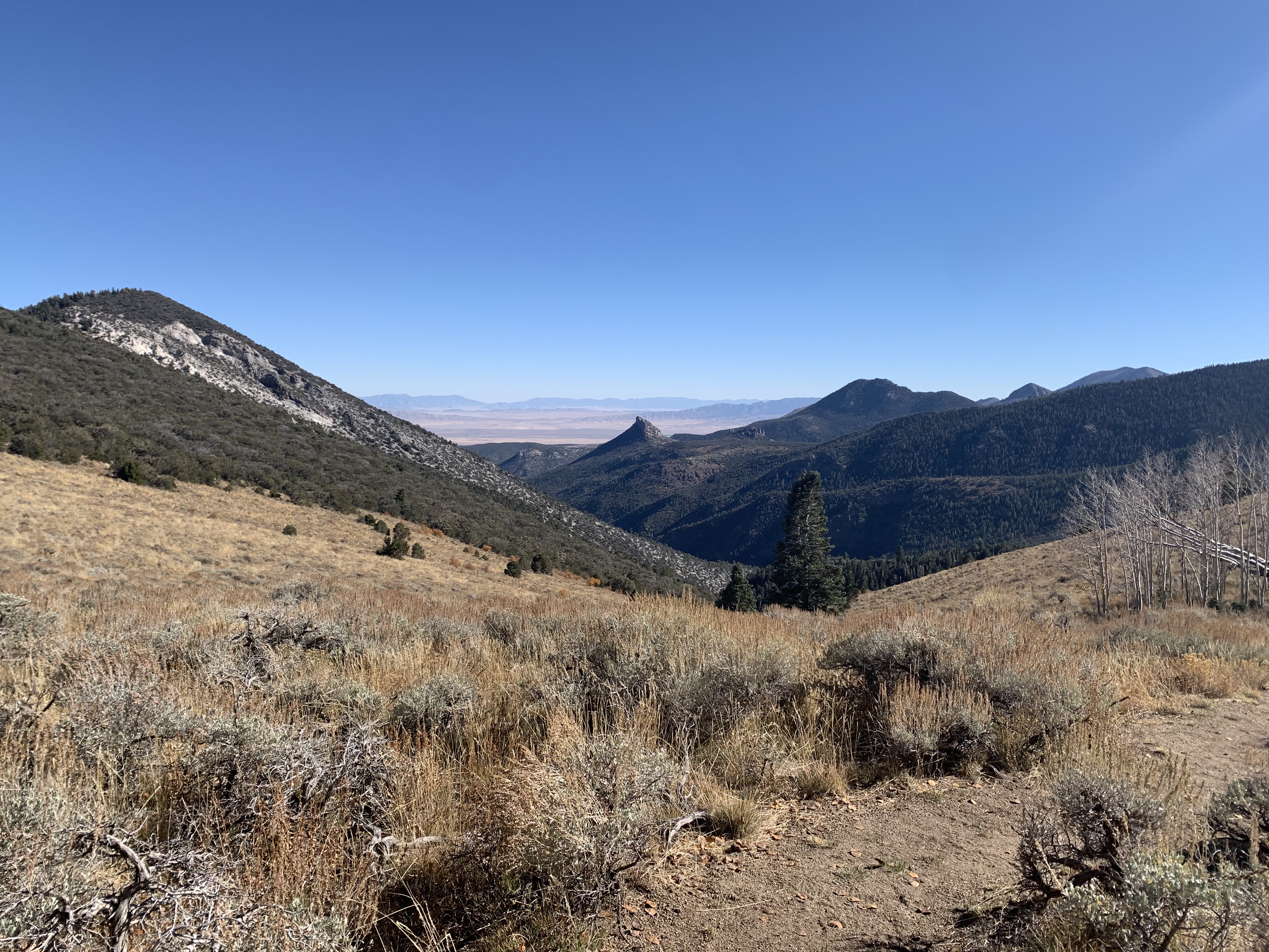
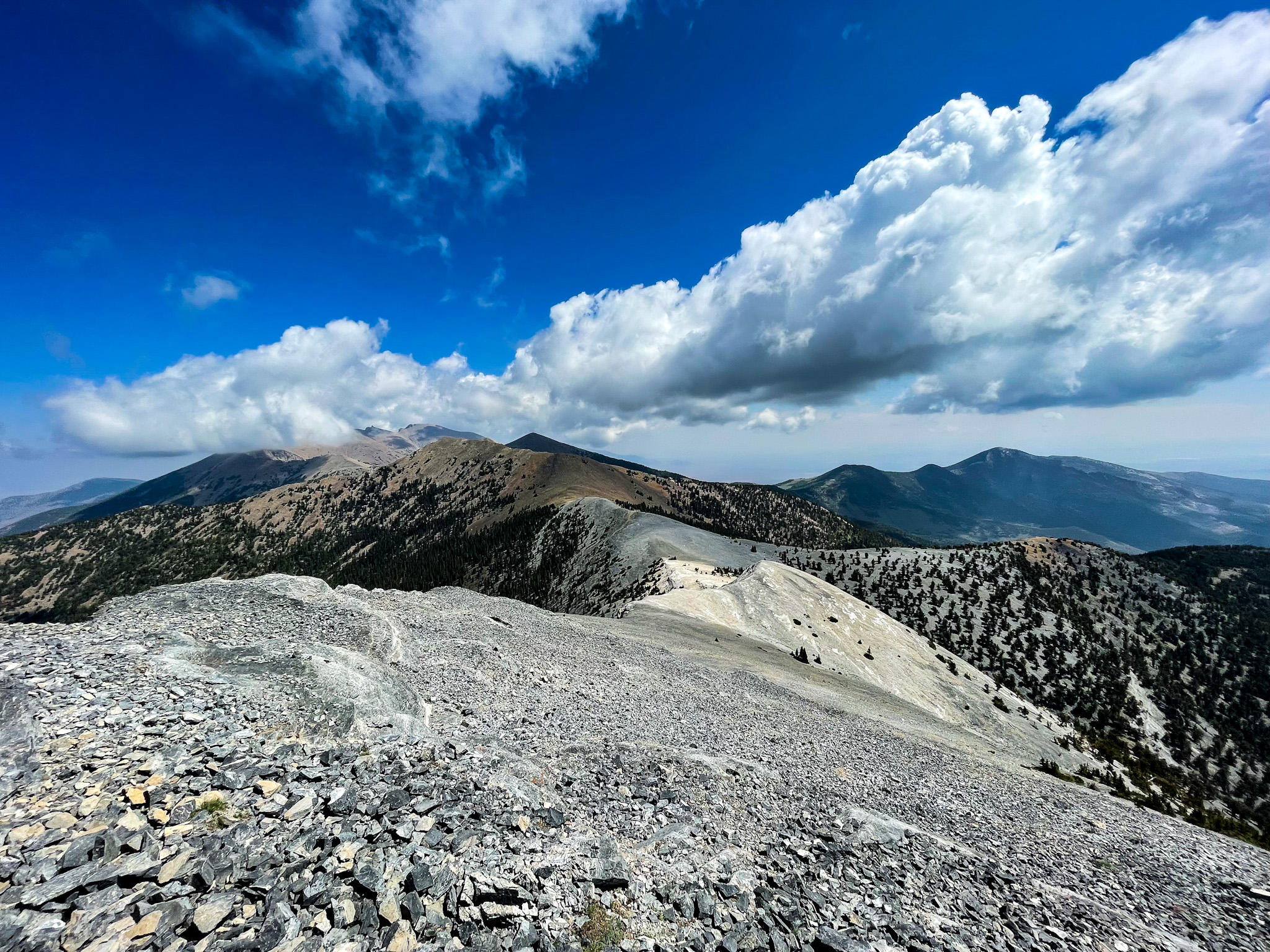
The upper sections are fully exposed with no tree cover. Lightning strikes are a serious danger during afternoon storms — if you hear thunder or see cumulonimbus clouds building, turn around immediately. There is nowhere to shelter on the ridge.
Trail markings are sparse to nonexistent in places. Bring a GPS device or downloaded topo map — losing the route on loose talus above treeline can turn a tough hike into a dangerous situation fast.
Trail Details
Pro Tips
Start before 7 AM — the exposed upper ridge bakes in afternoon sun, and summer thunderstorms roll in reliably by early afternoon. You want to be descending by the time the clouds build.
The Snake Creek road to the trailhead is unpaved and can be rough — high clearance is strongly recommended, and after rain it can be impassable. Check conditions at the visitor center before committing.
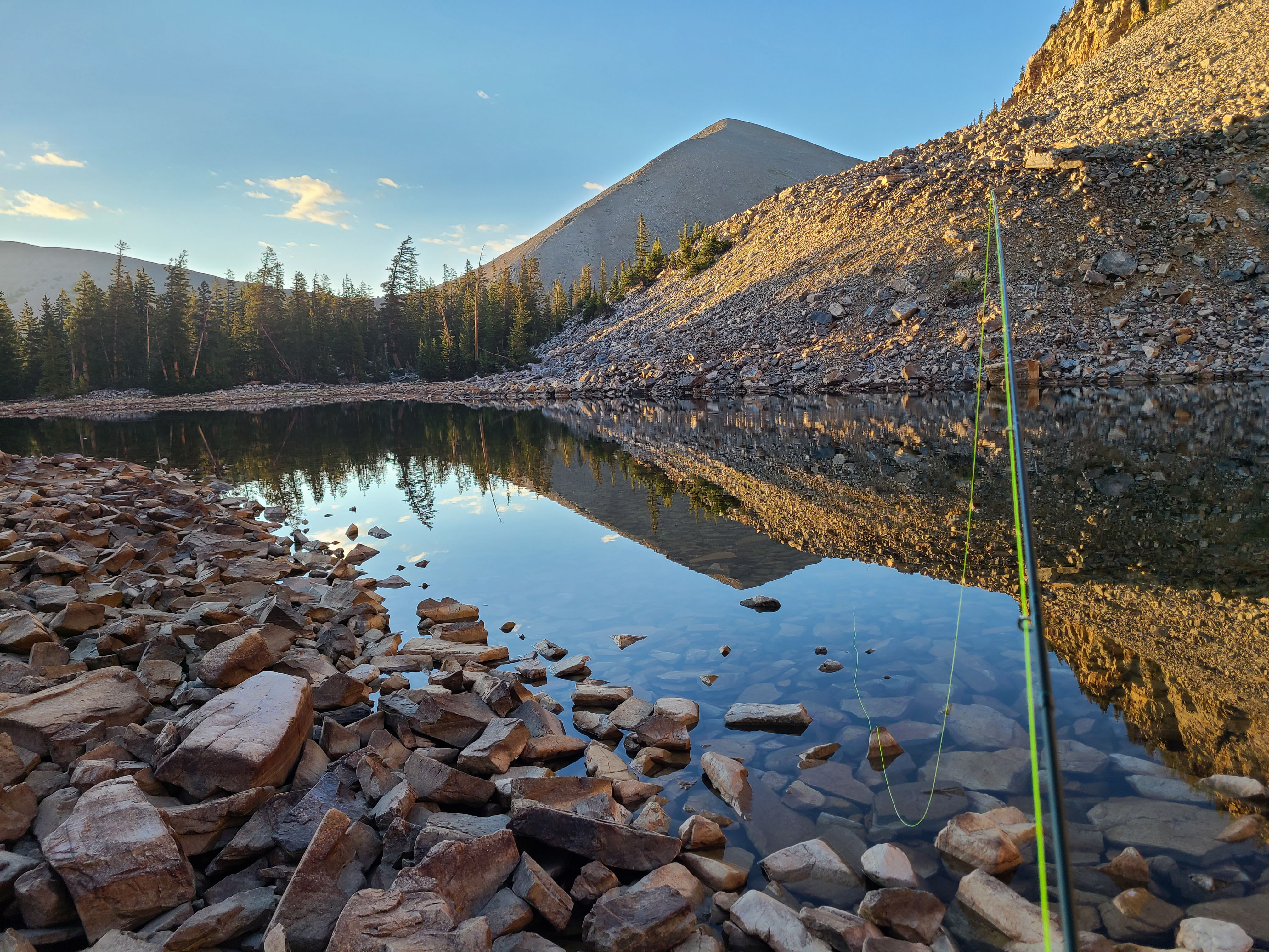
Carry at least three liters per person. There are no reliable water sources along the route in summer, and the combination of altitude, dry air, and relentless climbing will drain you faster than you expect.
Photos
 C. Reed