Great Basin National Park

Hike to Lexington Arch

moderate Solitude SeekersDog OwnersPhotographers
5.6 mi Distance
2-4 hours Estimated Time
roundtrip Trail Type

What to Expect

The road to the trailhead is half the adventure — a rough, unpaved spur that rattles your fillings and weeds out the casual crowd. Once you're on foot, the path climbs steadily through high-desert shrubland and pinyon-juniper woodland, with the kind of dry, crunchy terrain that makes you grateful for sturdy boots. The trail is well-defined but not manicured, with loose rock and a few steep pitches that keep your attention. As you round the final bend, Lexington Arch rises like a cathedral doorway carved from raw limestone — nearly twenty stories tall and utterly improbable in this remote corner of Great Basin. Unlike the famous sandstone arches of Utah, this one may actually be a natural bridge formed by water, which makes it a geological oddity worth the trip. This is a trail for people who like earning their views with nobody else around, and for the rare pleasure of bringing your dog along in a national park.
Solitude SeekersDog OwnersPhotographersGeology BuffsOff-the-Beaten-Path

Safety Advisory

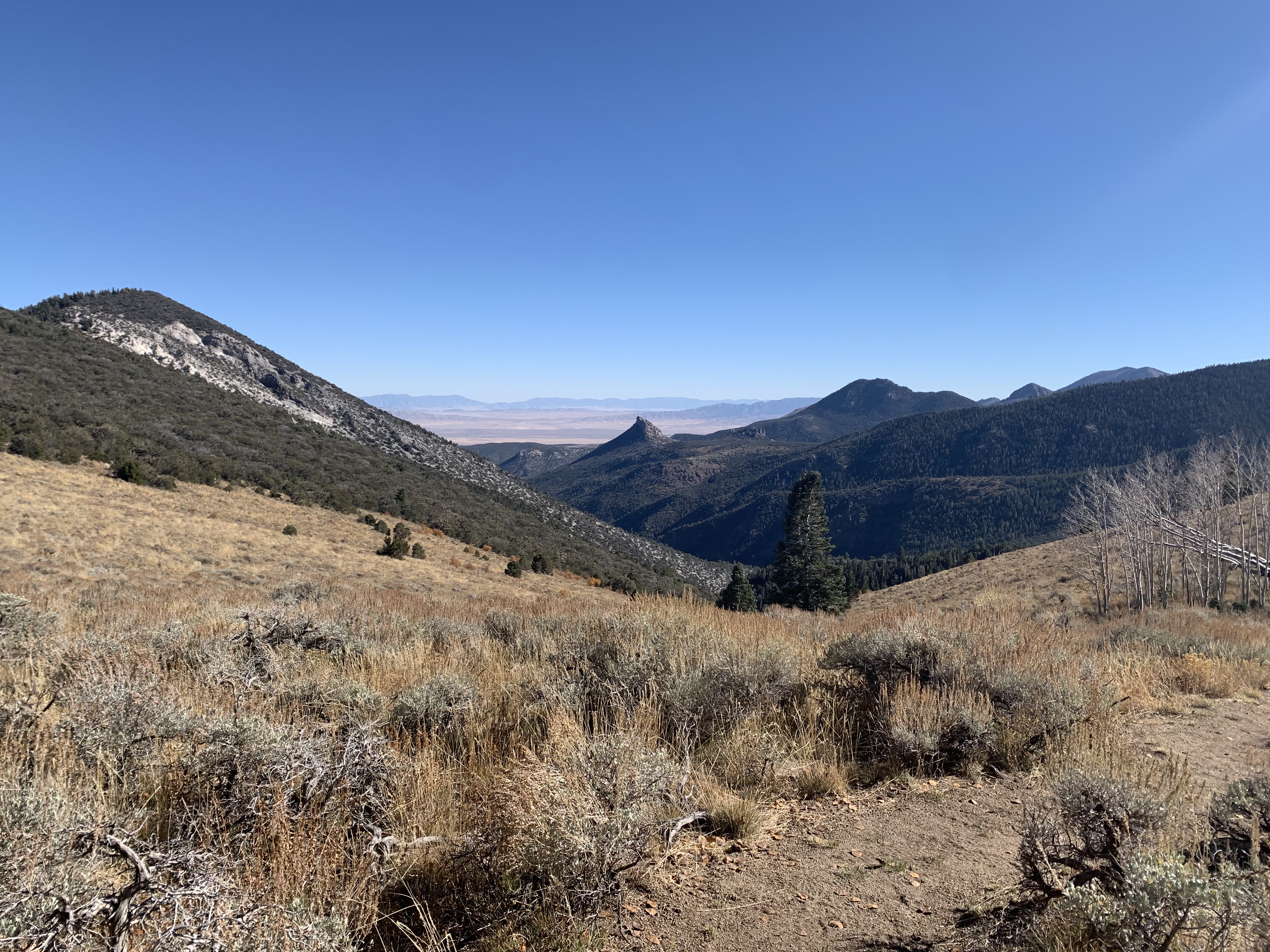
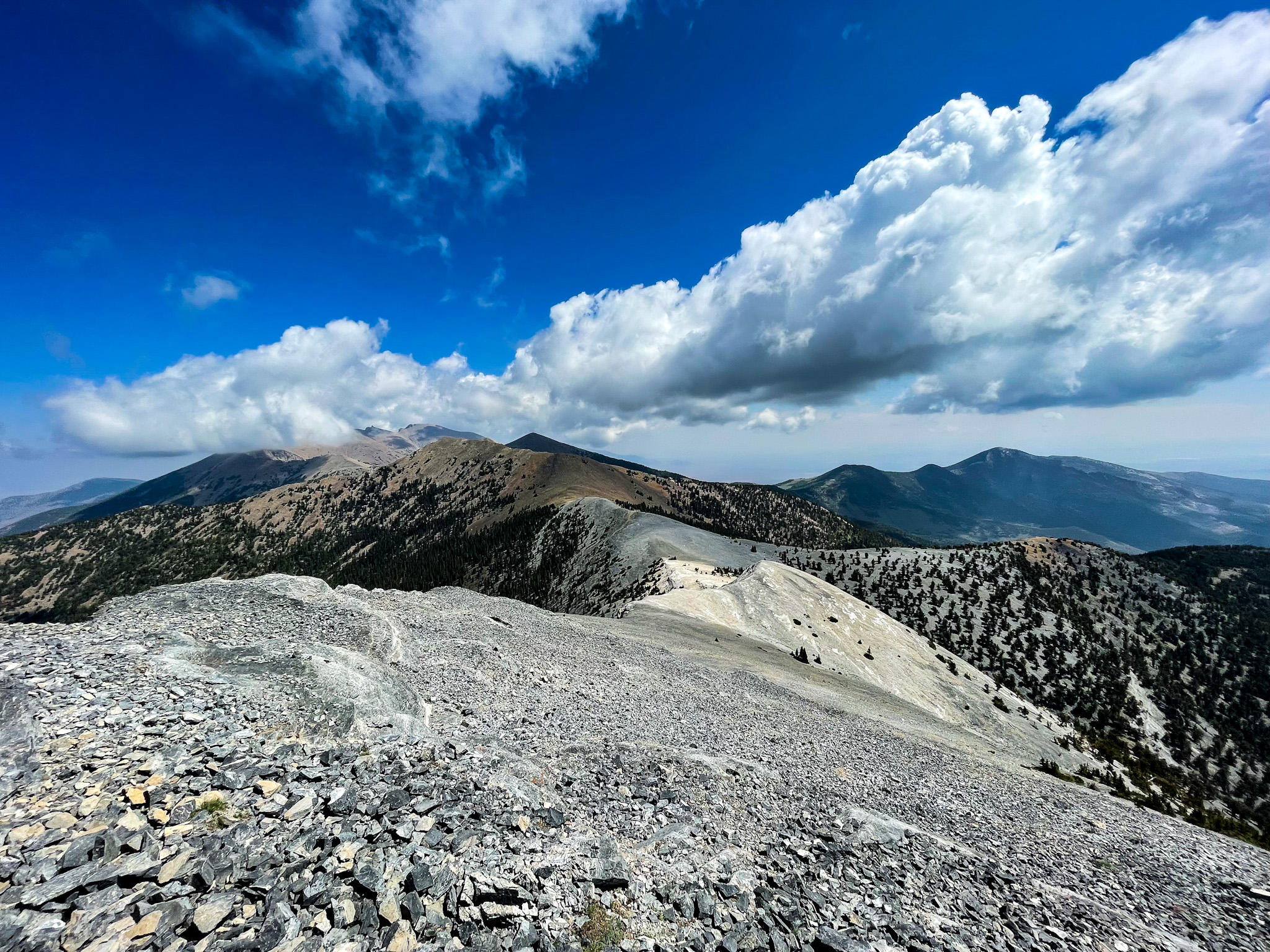
The trailhead sits above seven thousand feet and the arch is higher still. If you drove in from the valley floor, give yourself time to acclimate before pushing the pace — headaches and shortness of breath sneak up on visitors who jump straight from sea level to altitude.

Cell service is nonexistent at the trailhead and for most of the drive in. Let someone know your plans before you head out, and carry a paper map or downloaded GPS track. If your vehicle breaks down on the access road, you are a long walk from help.

Trail Details

Distance 5.6 miles round-trip
Difficulty moderate
Estimated Time 2-4 hours
Trail Type roundtrip
Pets Dogs allowed (leash required)
Season Year-round
Trailhead Hike to Lexington Arch

Pro Tips

Trail Tip

The access road (Forest Road 317) requires high clearance and is genuinely rough — passenger sedans will bottom out. A truck or SUV with decent clearance is the minimum, and 4WD helps after rain. Budget an extra 30-45 minutes each way for the drive from the highway.

Trail Tip

There is no water anywhere on this trail or at the trailhead. Carry at least two liters per person and bring a bowl for your dog — the high-desert air at seven thousand feet will dehydrate you faster than you expect.

Trail Tip

The arch faces roughly east-southeast, so morning light fills the opening beautifully and gives you the best contrast for photos. By afternoon the arch falls into its own shadow. Bring a wide-angle lens — you cannot back up far enough to fit it in frame with a standard focal length.

Photos

Getting There

More Trails in Great Basin

Explore Great Basin National Park

7 campgrounds, 50 trails, 152K annual visitors

View Park Guide