Hike to Wheeler Peak
What to Expect
Safety Advisory
Altitude is the real opponent here. Starting above ten thousand feet and climbing to over thirteen thousand, altitude sickness can hit even fit hikers. Watch for headache, nausea, and dizziness — descend immediately if symptoms worsen.
The upper two miles are fully exposed with no shelter from lightning. If you see dark clouds building or hear distant thunder, turn around — the summit ridge is the worst place in the park to be during an electrical storm.
The trail surface above treeline is loose rock and scree. A twisted ankle up here means a very long, painful hobble back to the trailhead with no cell service for rescue calls.
Trail Details
Pro Tips
Start by 7 a.m. at the latest — afternoon thunderstorms roll in fast above treeline, and you want to be off the exposed summit ridge by noon. Earlier is better, and a pre-dawn start rewards you with sunrise views from the upper slopes.
The trailhead sits at the end of Wheeler Peak Scenic Drive, which doesn't open until the snow clears (usually late May or June). Check with the visitor center before driving up — the road gate status changes with conditions, not the calendar.
Bring a windbreaker even on warm days. The temperature can drop thirty degrees between the trailhead and the summit, and the exposed ridge above treeline acts like a wind tunnel. Trekking poles save your knees on the rocky descent.
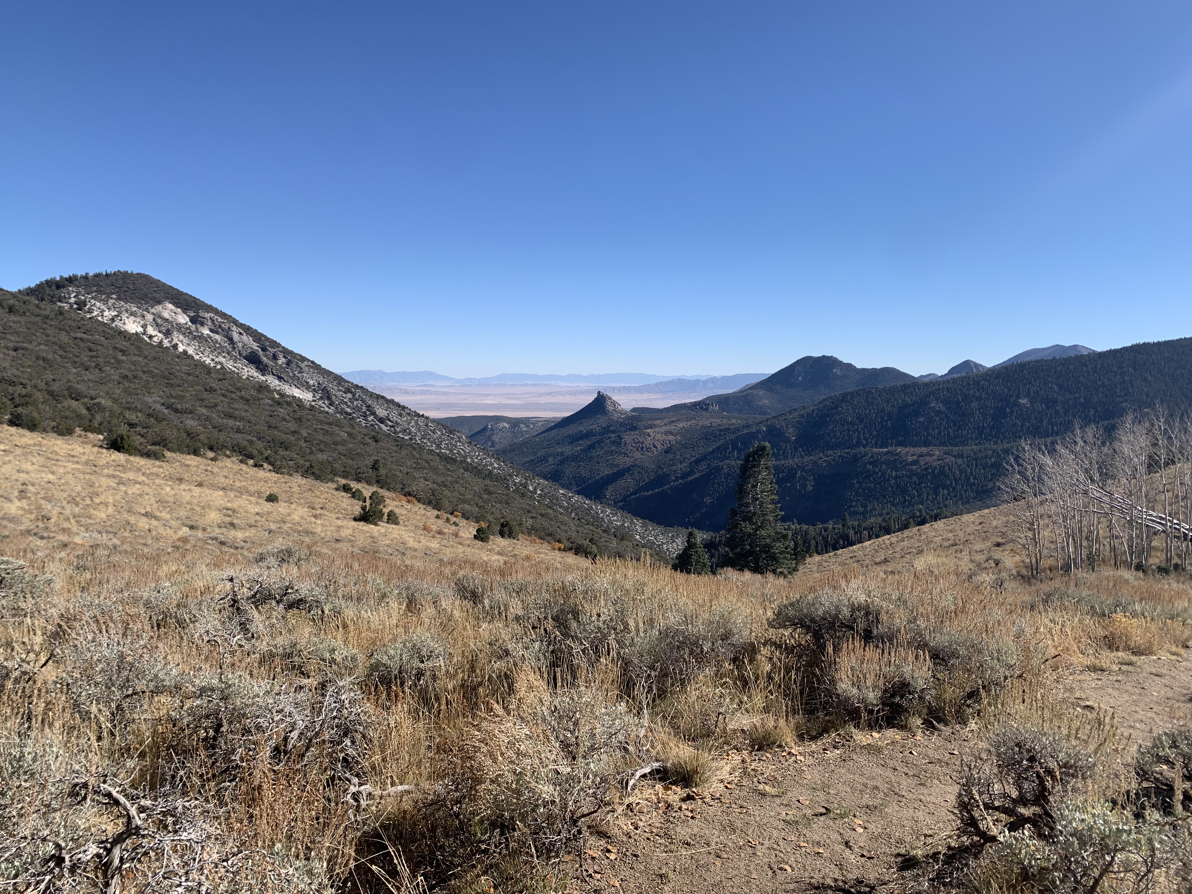
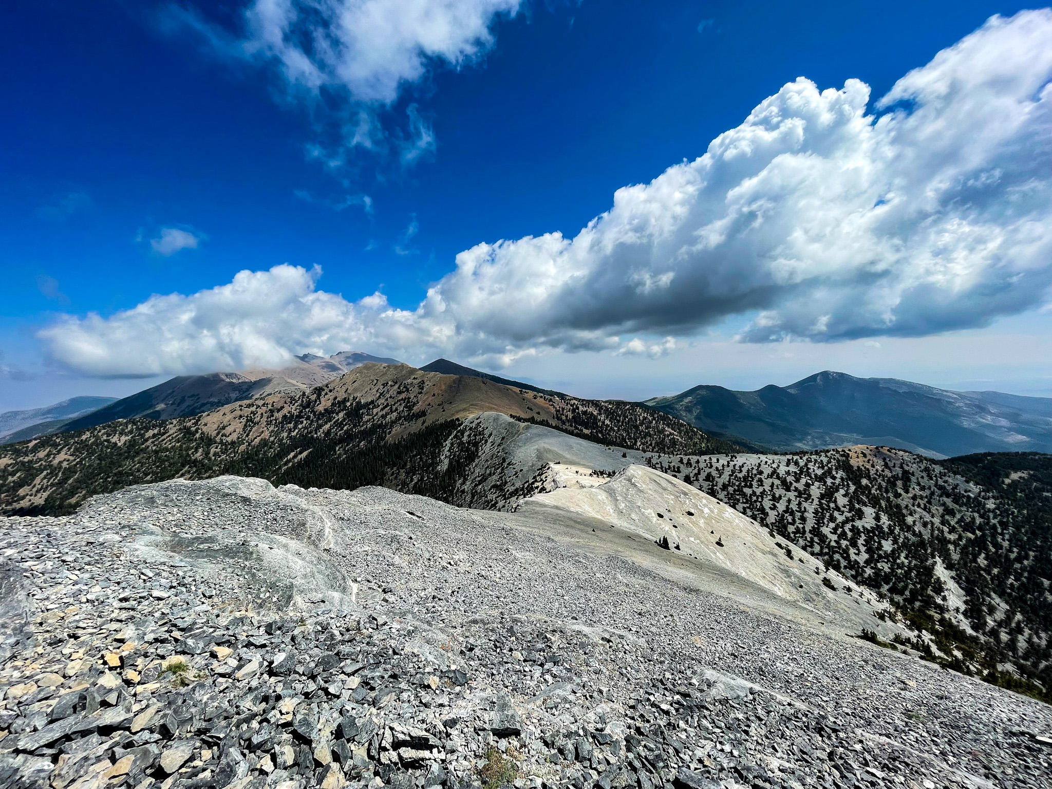
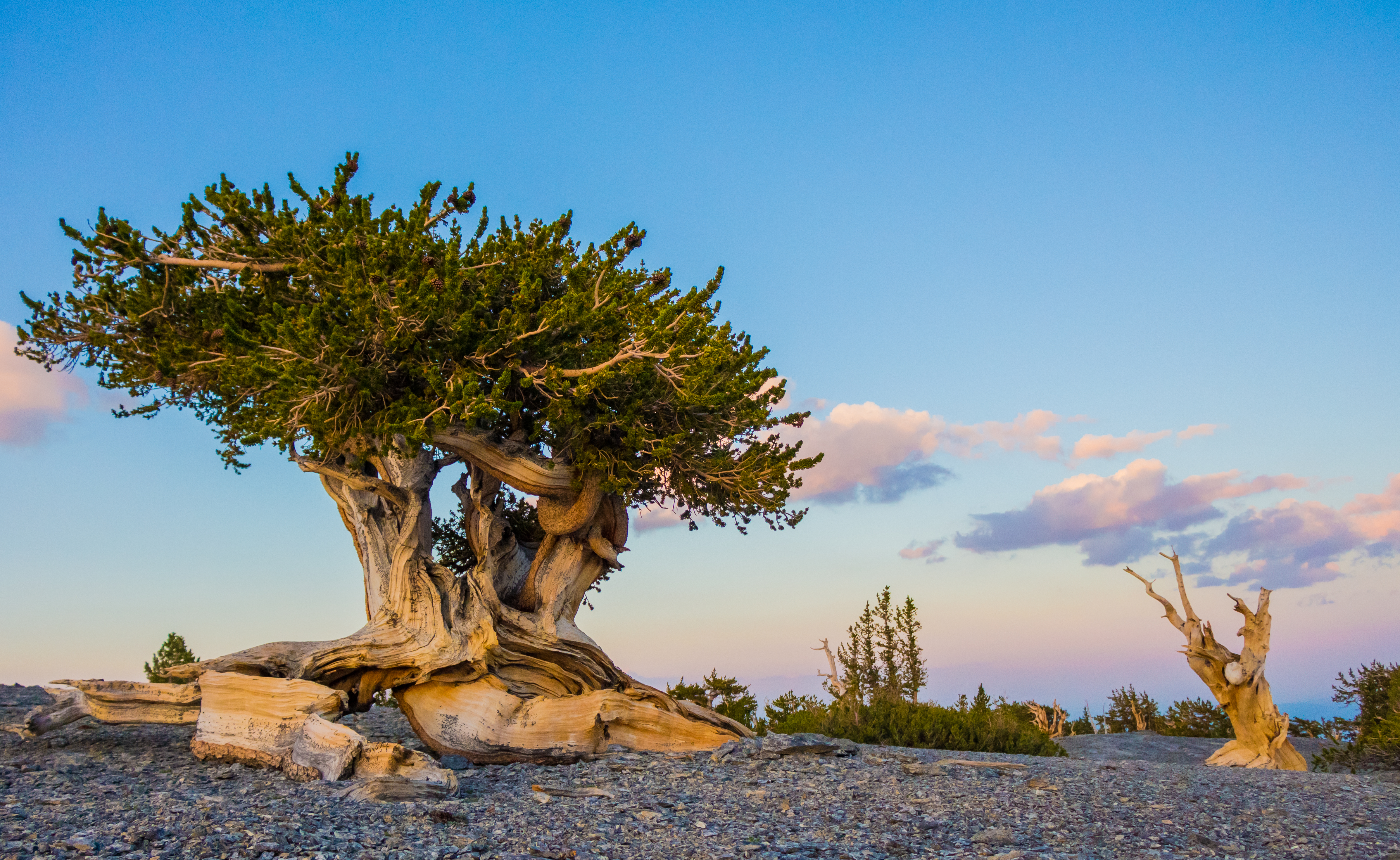
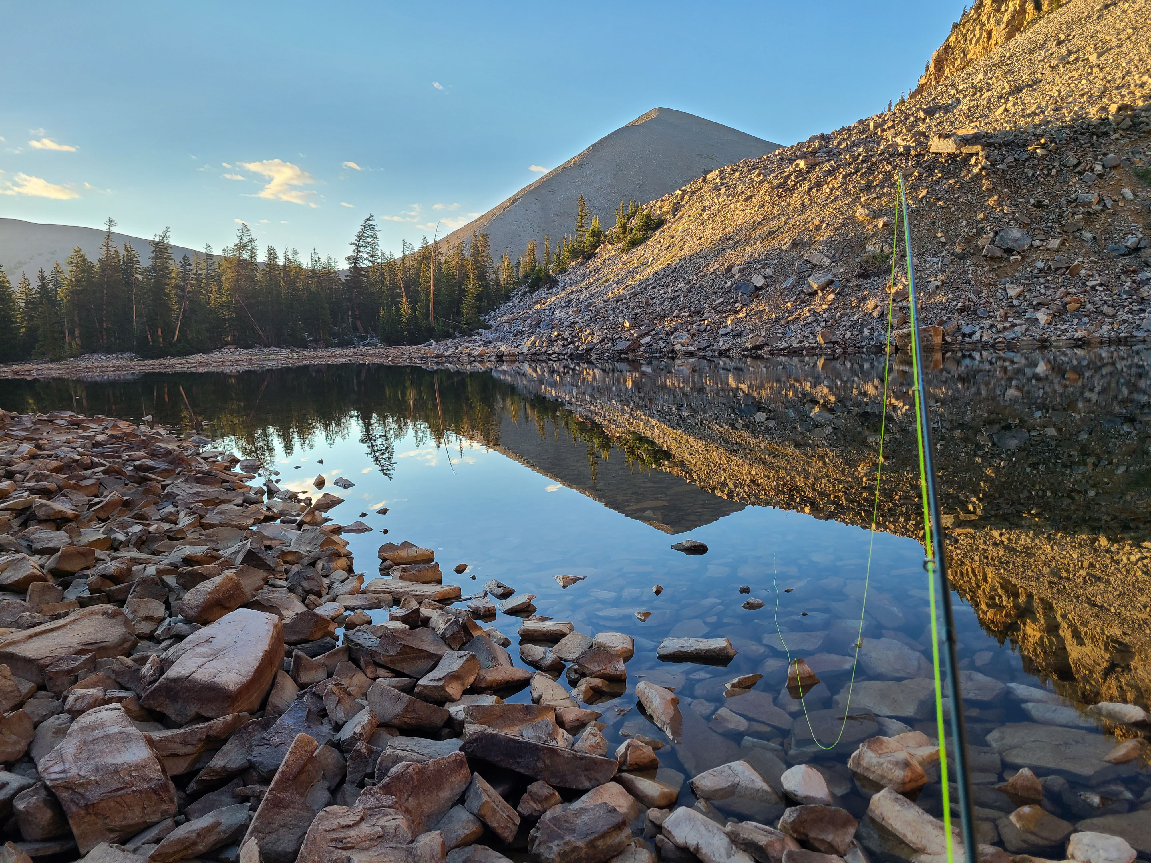
Photos
 J. Hamilton