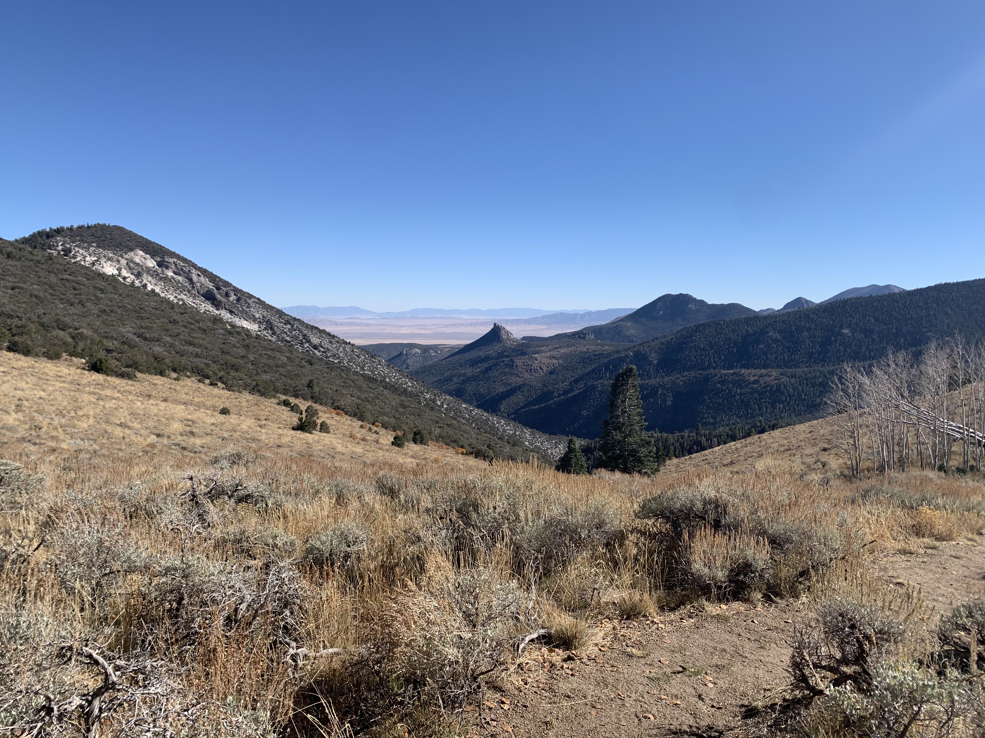
South Fork Trail
What to Expect
Safety Advisory
Creek crossings can be tricky during spring snowmelt — water levels rise significantly in June and early July, and some crossings may be knee-deep with a strong current. Check conditions at the visitor center before heading out.
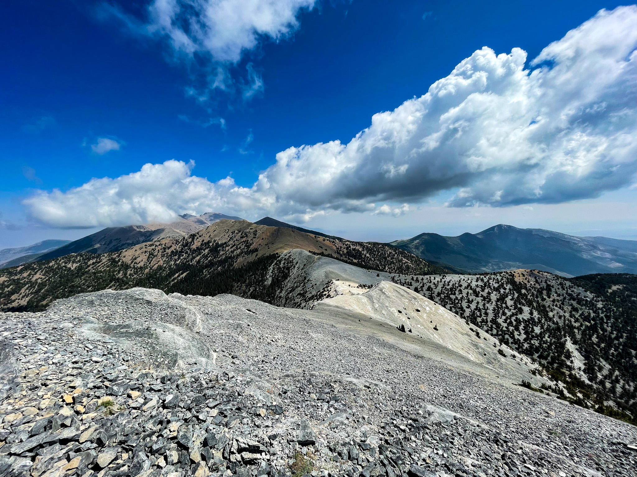
Great Basin sits above 7,000 feet at the trailhead, so altitude can catch lowlanders off guard. Pace yourself on the uphill stretches and watch for headache or nausea, especially if you drove up from the desert floor that morning.
Trail Details
Pro Tips
Start by mid-morning at the latest in summer — the canyon loses direct sunlight by early afternoon, and the creek crossings get chilly in shade. The first two miles are the warmest stretch.
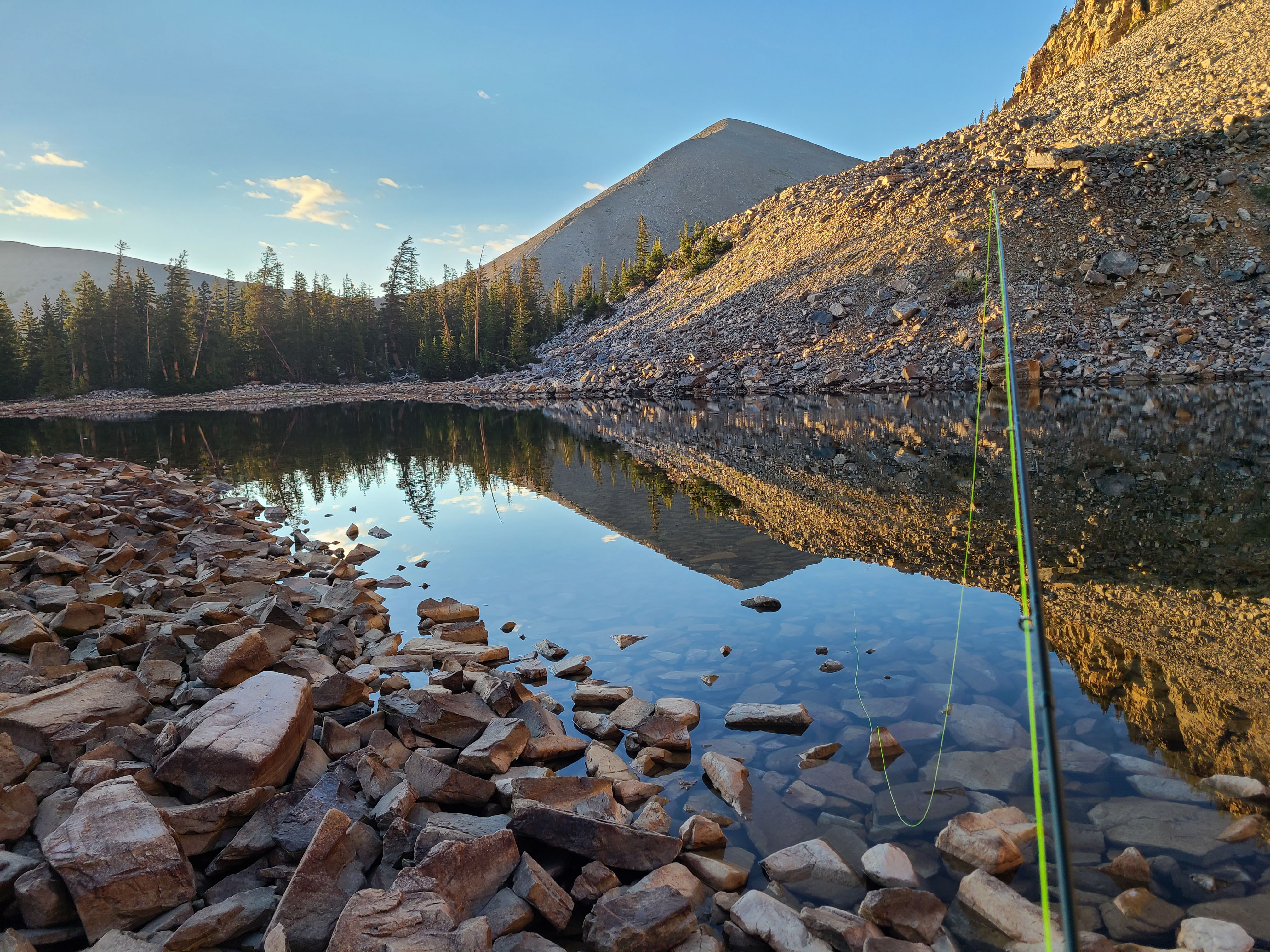
Trekking poles earn their weight on this one. The creek crossings range from dry-hop easy to slippery-rock sketchy depending on snowmelt, and poles save you from an unplanned swim.
The best photo spot is roughly 2.5 miles in where the trail rounds a bend and a 15-foot cascade drops into a pool framed by aspens. In late September, the gold leaf reflection is absurd.