Hidden Dune
What to Expect
Safety Advisory
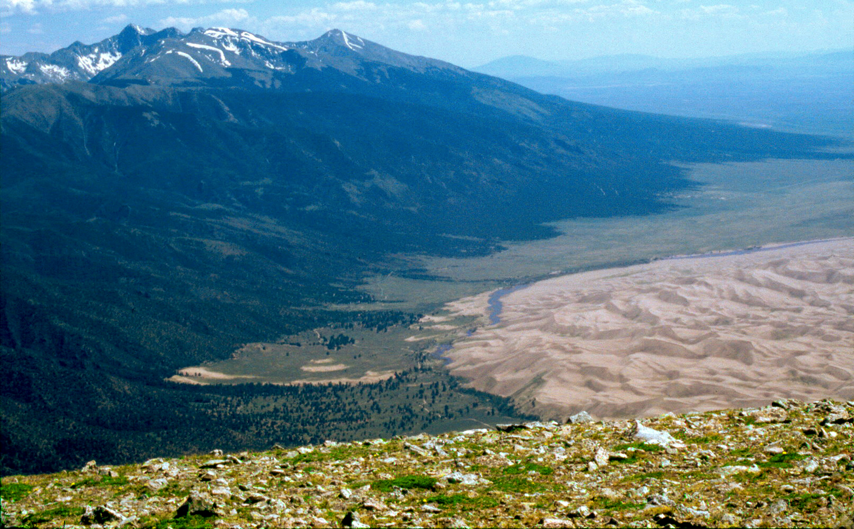
Navigation is the real hazard here — the dunefield looks identical in every direction, landmarks disappear behind ridgelines, and footprints vanish within minutes. People get disoriented and wander for hours. Carry a GPS device, not just your phone.
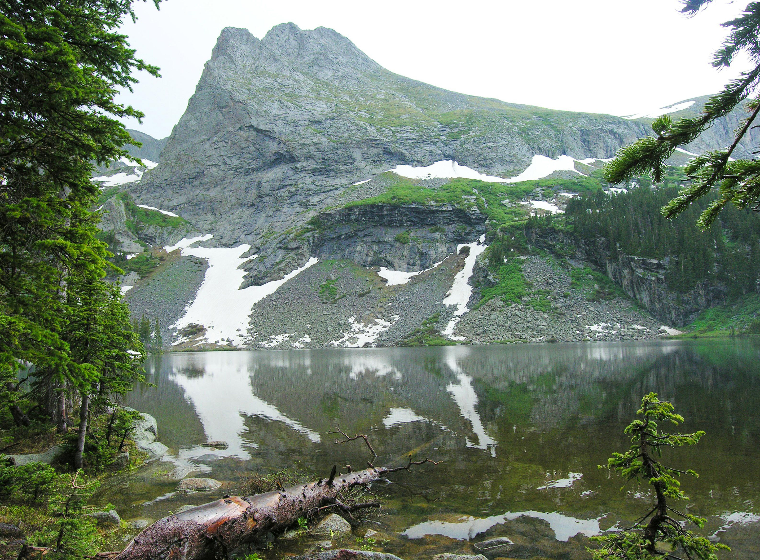
Afternoon thunderstorms roll in fast from June through August, and you are the tallest object on an exposed sand ridge. If you see clouds building over the Sangre de Cristos, start your descent immediately — lightning on open dunes is no joke.
Altitude matters more than you'd expect. The dunefield floor sits above 8,000 feet, and the summit pushes past 8,700. Combined with deep sand and no shade, heat exhaustion and altitude sickness can sneak up on strong hikers who underestimate the effort.
Trail Details
Pro Tips
Start before sunrise and navigate by GPS waypoint — there are no markers in the dunefield, and the dune you're aiming for isn't visible from the main area. Download offline maps and mark Hidden Dune's coordinates (37.7925, -105.5575) before you leave cell service.
Wear gaiters and closed-toe shoes with aggressive tread, not sandals. Sand temperatures can exceed 150 degrees by midday in summer, and the return trip across sun-baked flats will punish bare skin. Carry at least three liters of water per person — there's zero shade for the entire route.
Time your crossing of Medano Creek for the return trip: creek flow peaks in late morning and afternoon from snowmelt. Early morning crossings are significantly shallower and less dramatic, which means drier boots for the hard part.