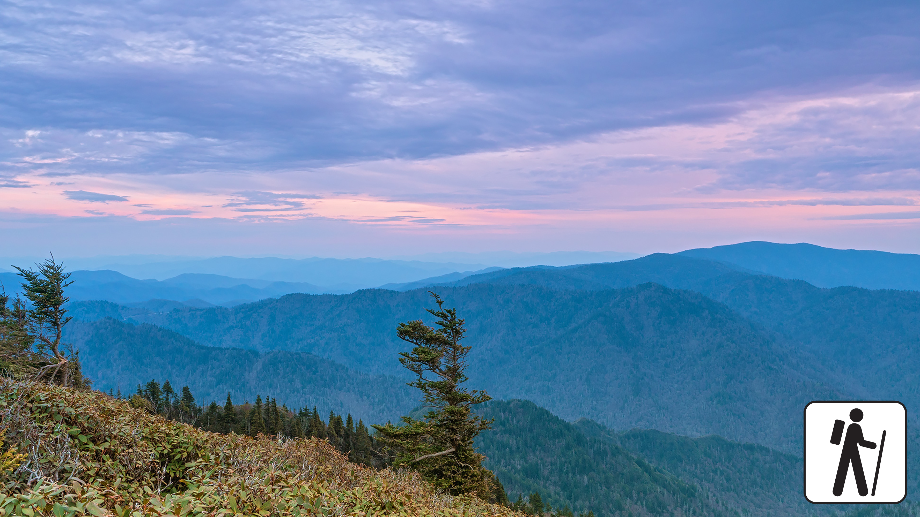
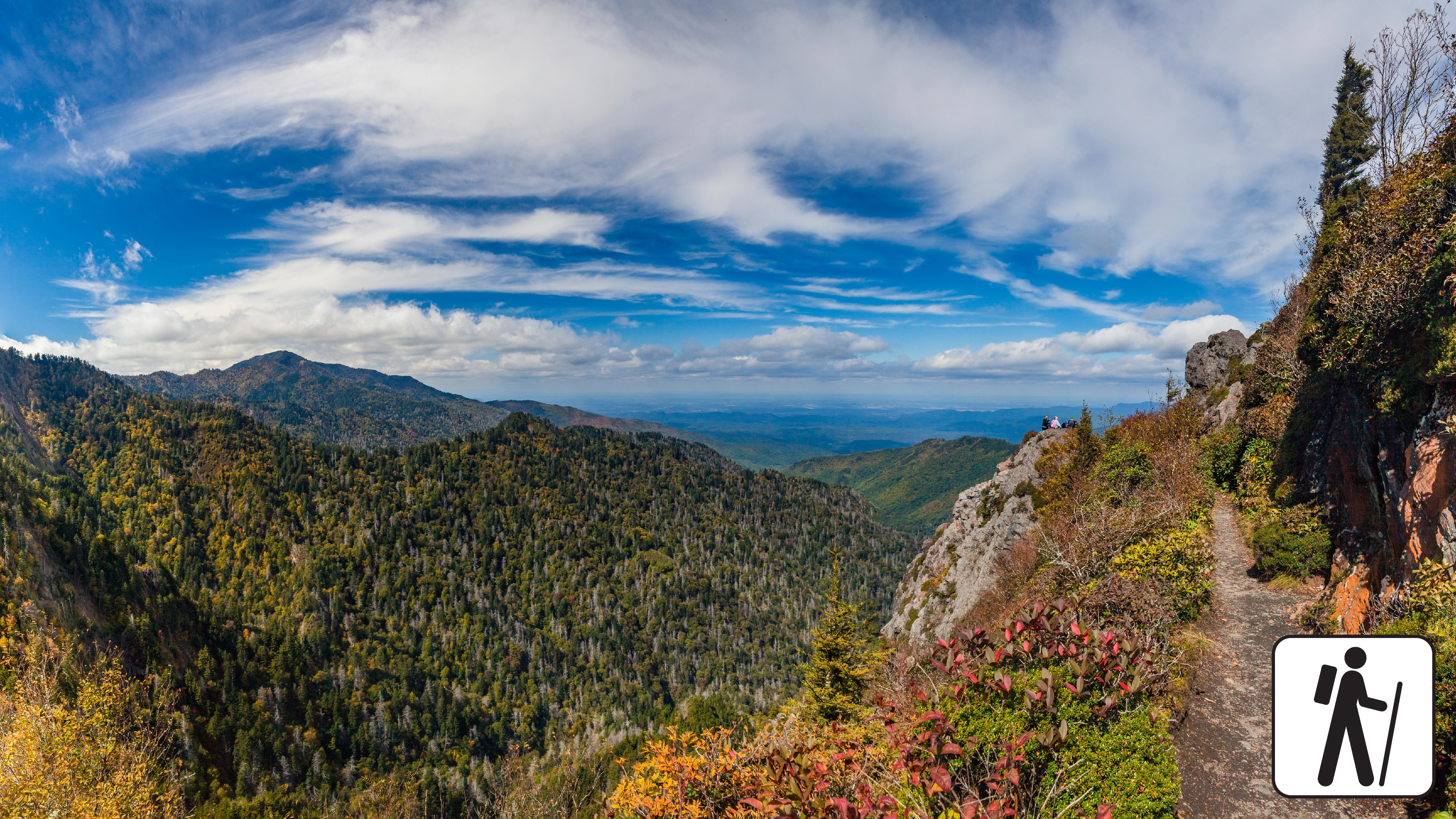
Great Smoky Mountains National Park
Trails in Great Smoky Mountains

Hike to Mount Le Conte on the Appalachian Trail and Boulevard Trail
strenuous
16.2 mi
Hike to Mount Le Conte on Bullhead Trail
strenuous
13.6 mi

Hike to Mount Le Conte on Rainbow Falls Trail
strenuous
13 mi

Hike to Mount Le Conte on Trillium Gap Trail
Unrated
13 mi

Hike Cooper Road Trail
Unrated
10.9 mi

Hike to Mount Le Conte on Alum Cave Trail
strenuous
10 mi
Hike to Charlies Bunion
Unrated
8 mi
Hike to Ramsey Cascades
Unrated
8 mi

Hike Smokemont Nature Trail
Unrated
6 mi
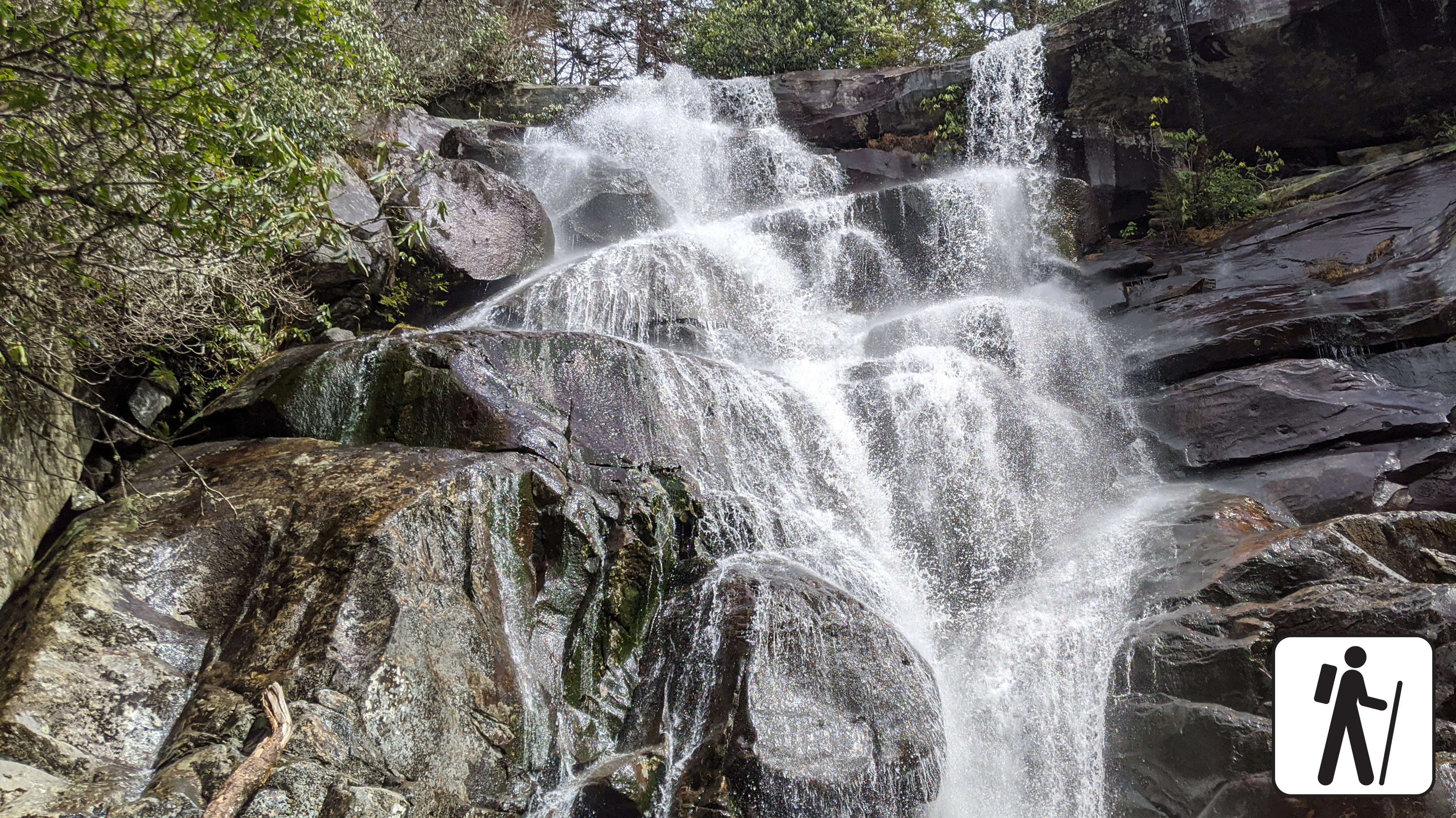
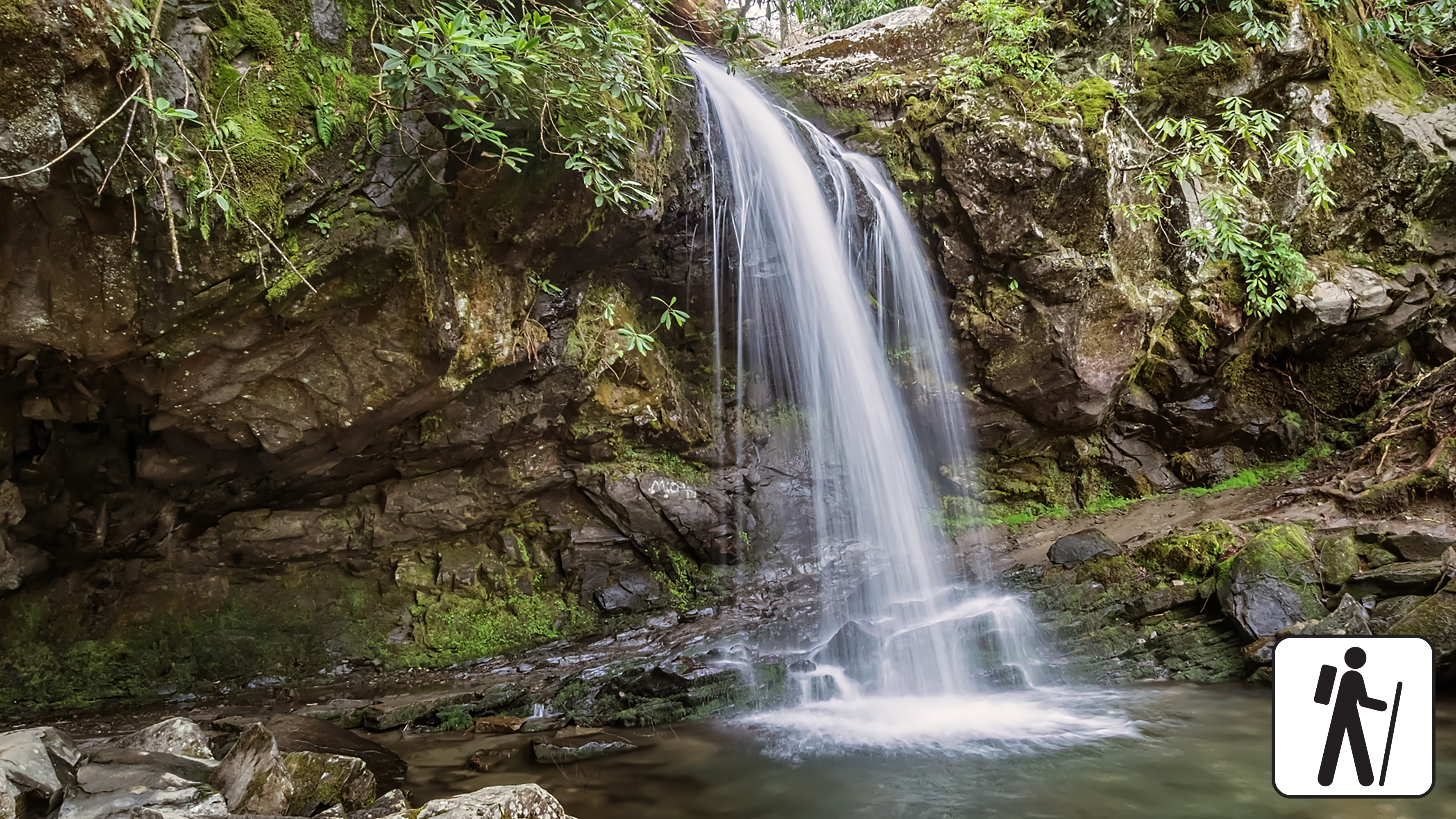
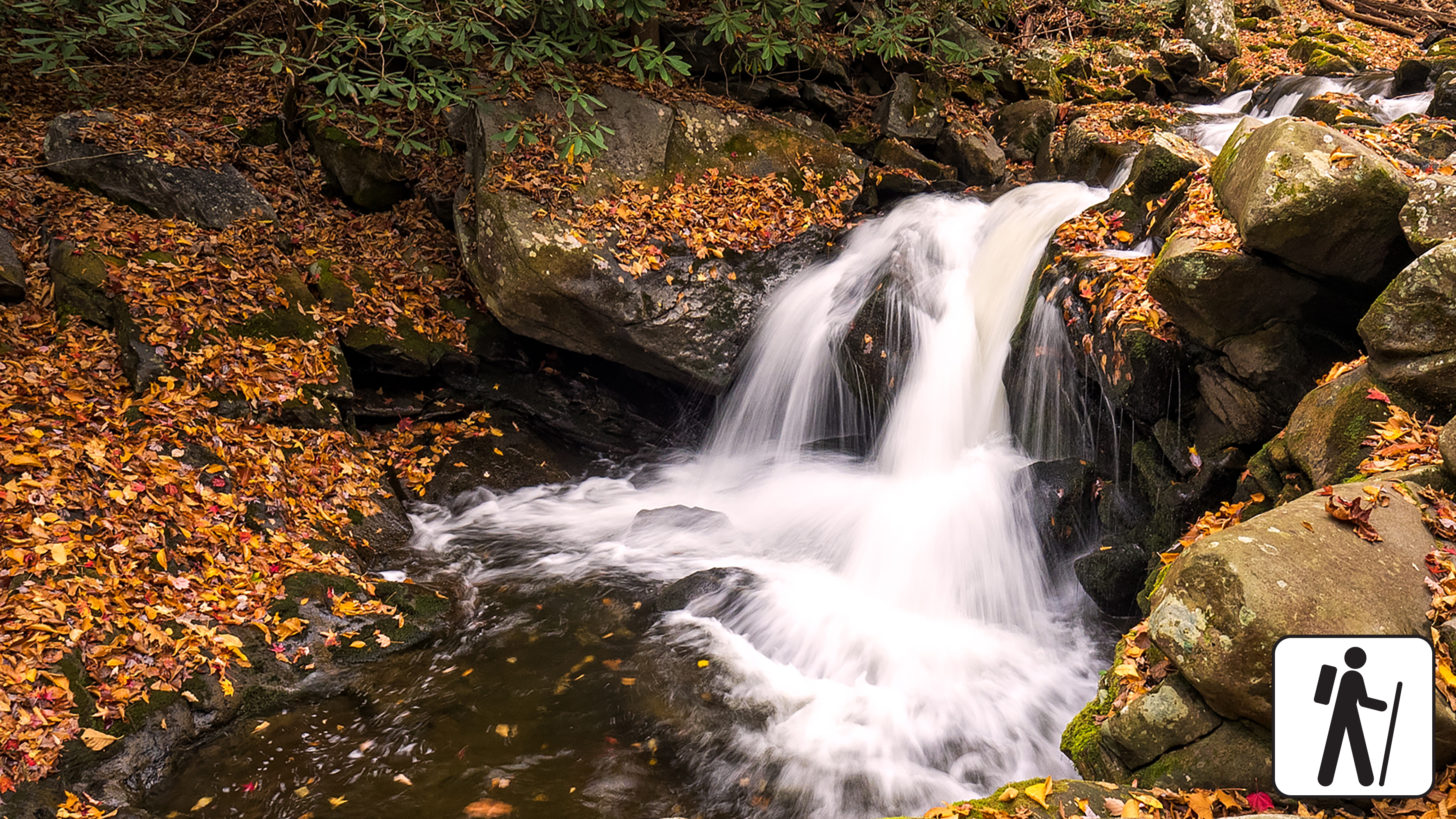
Hike to Rainbow Falls
Unrated
5.6 mi
Hike on Chestnut Top Trail
Unrated
5.6 mi

Walk Cable Mill Area Trails
Unrated
5.5 mi

Hike West Prong Trail
Unrated
5.4 mi
Hike the Little River, Cucumber Gap, Jakes Creek Loop
moderate
5.4 mi
Hike to Abrams Falls
Unrated
5 mi

Hike Schoolhouse Gap Trail
Unrated
4.4 mi
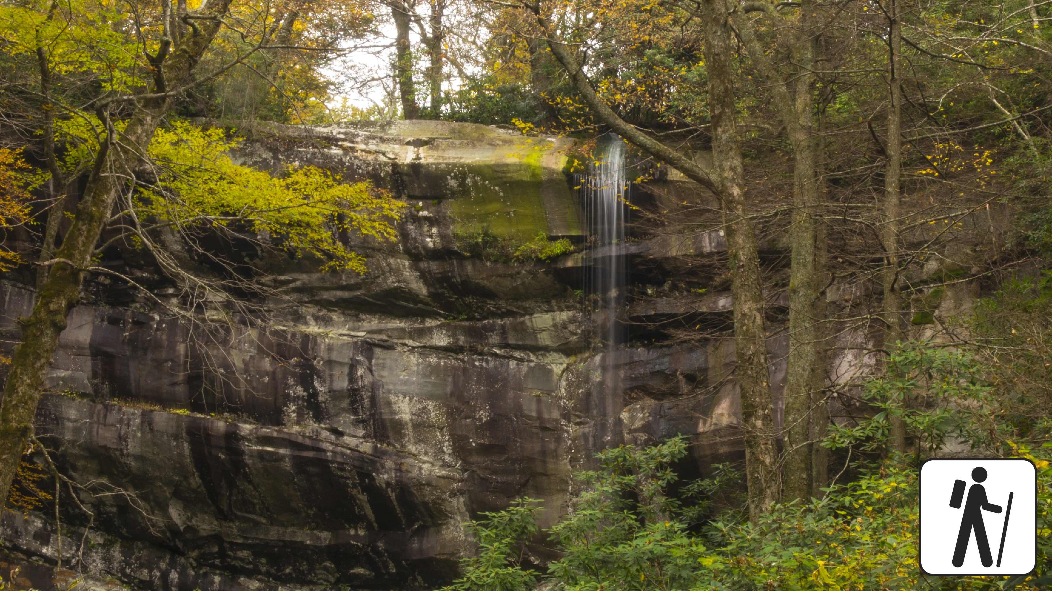
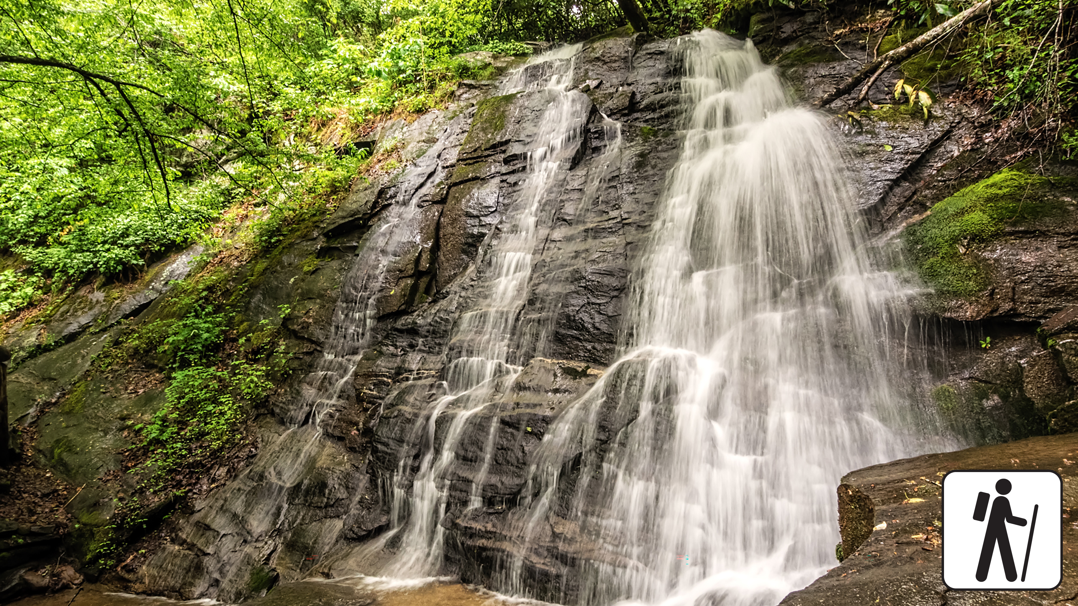
Hike to Hen Wallow Falls
Unrated
4.3 mi
Hike Bradley Fork Trail
Unrated
4 mi
Hike the Gatlinburg Trail
Unrated
4 mi
Hike Porters Creek Trail
moderate
4 mi ·1-3 hours hrs
Hike Goldmine Loop via Tunnel Bypass Trail
moderate
4 mi
Hike Kephart Prong Trail to Historic CCC Camp
Unrated
4 mi ·830 ft gain
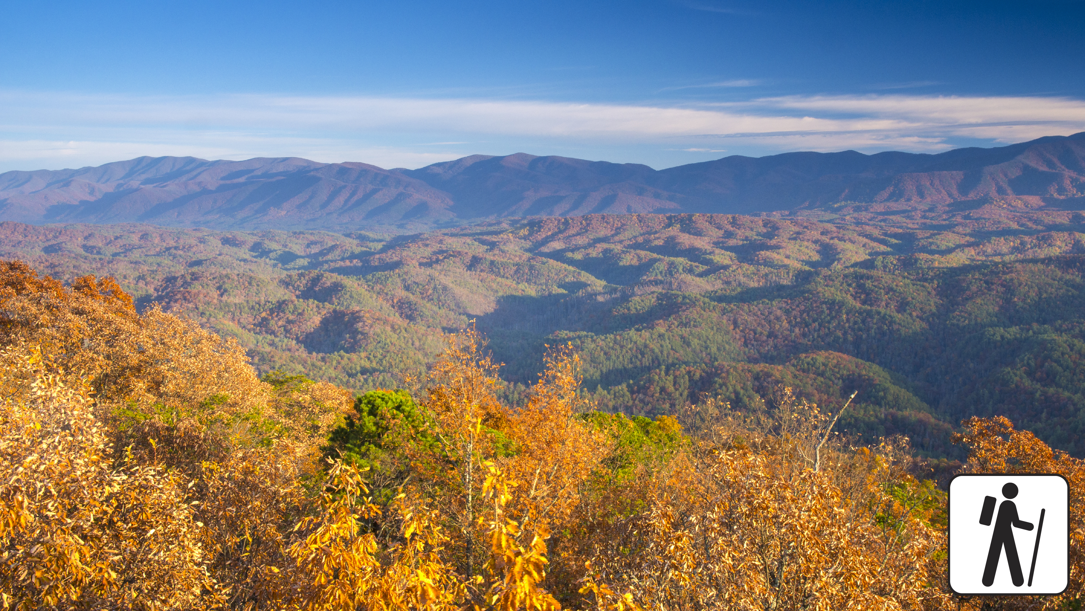
Hike to Andrews Bald
strenuous
3.6 mi
Hike to Chasteen Creek Cascade
Unrated
3.6 mi
Hike to Chimney Tops Overlook
Unrated
3.5 mi
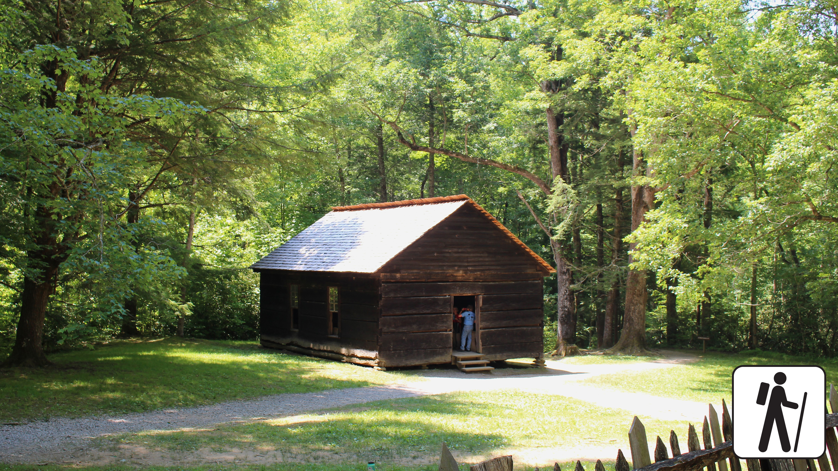
Hike to the Little Greenbrier School and Walker Homesite
Unrated
3.4 mi
Hike the Oconaluftee River Trail
easy
3 mi
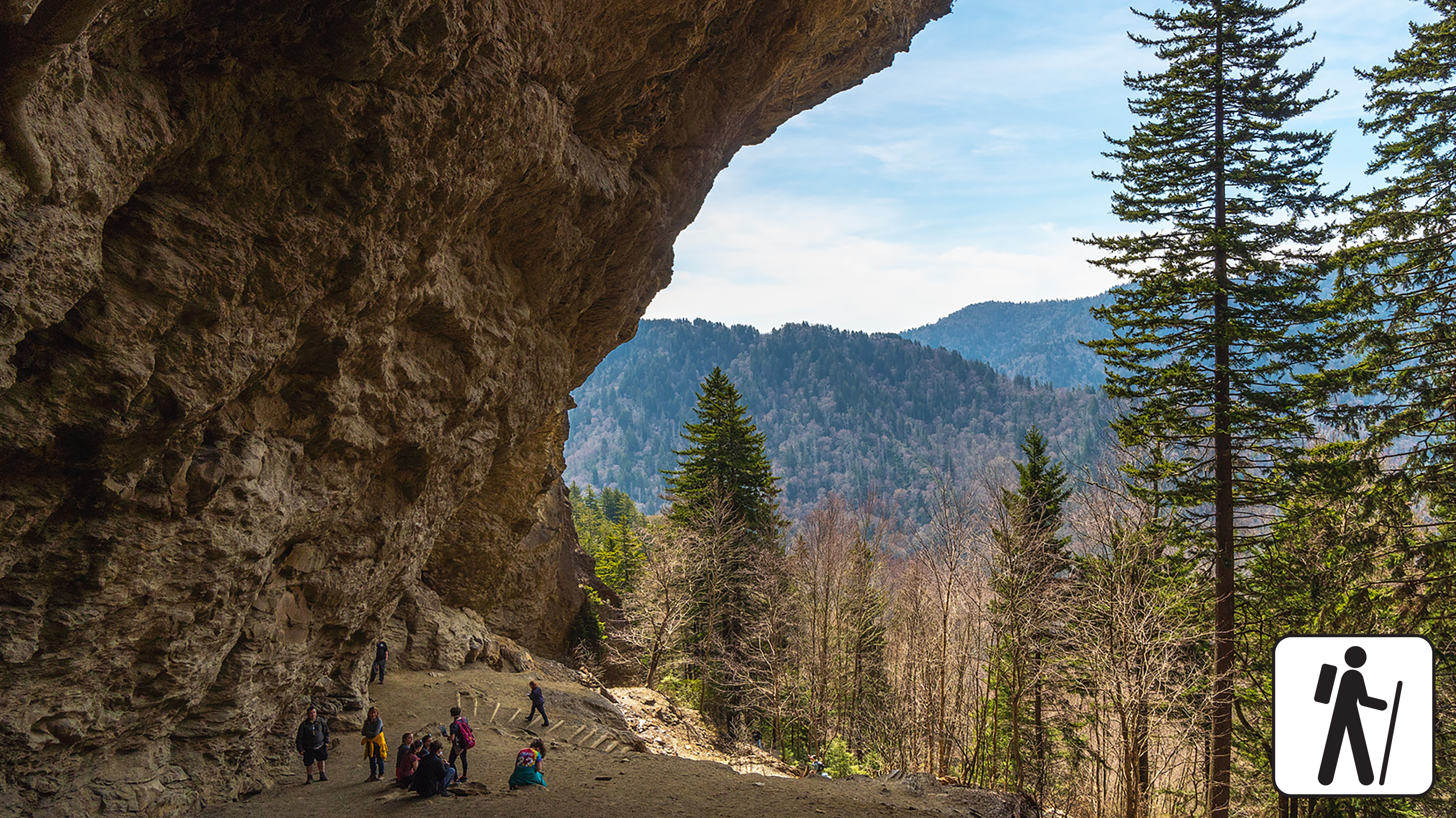
Hike to Alum Cave Bluffs
moderate_strenuous
2.8 mi
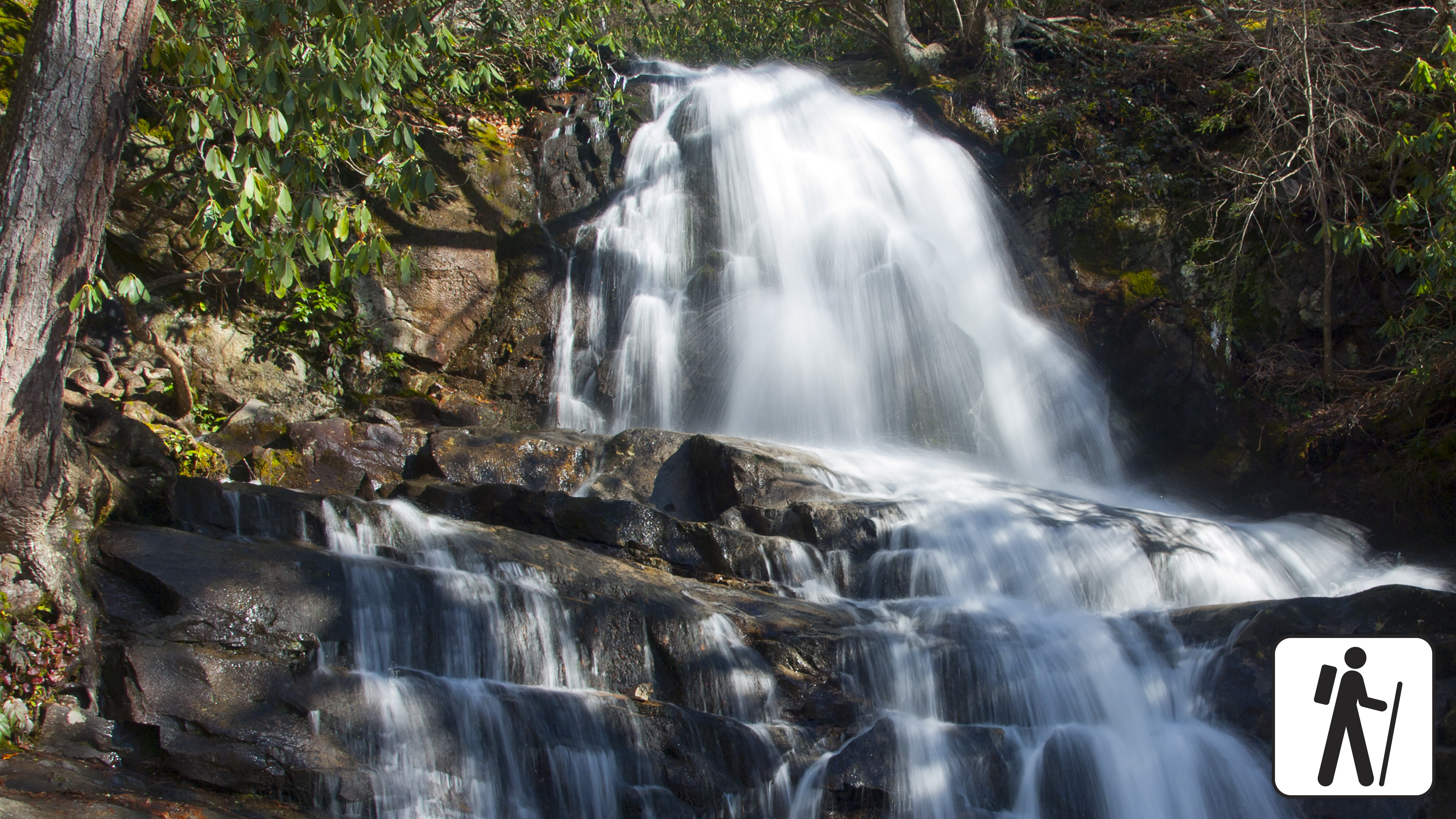
Hike to Laurel Falls
Unrated
2.6 mi
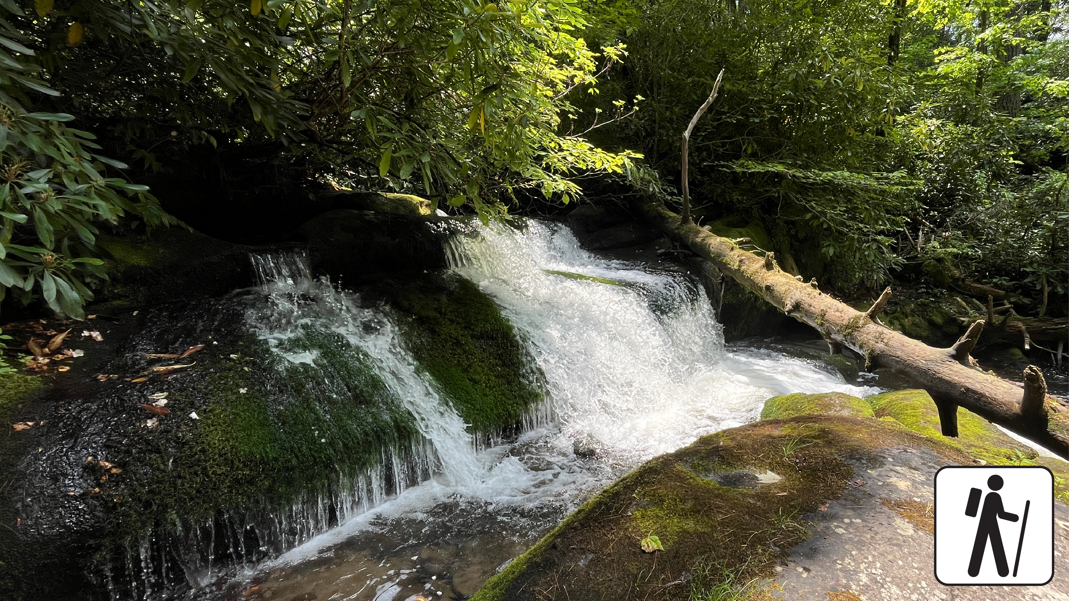
Hike to Grotto Falls
Unrated
2.6 mi
Hike the Deep Creek Waterfalls Loop
Unrated
2.4 mi
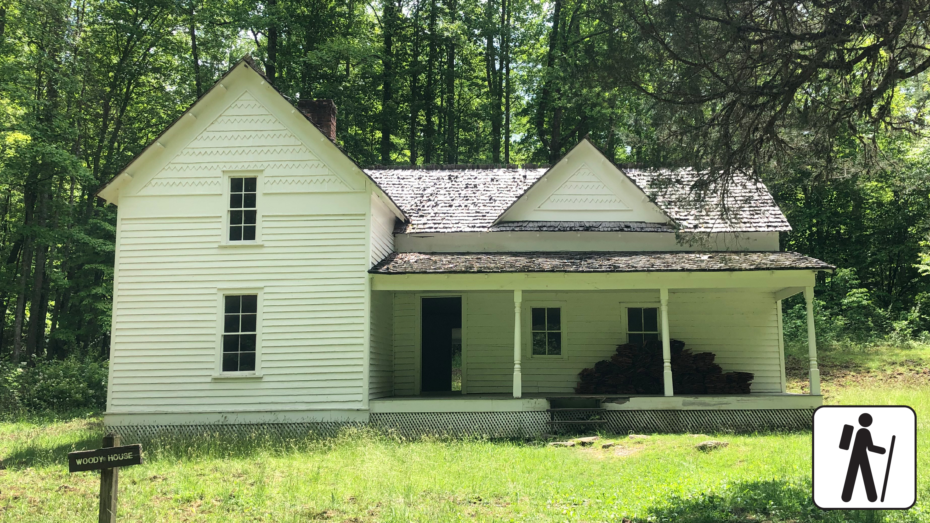
Hike to Steve Woody House
Unrated
2 mi

Hike Deep Creek Trail to Indian Creek Falls
Unrated
1.6 mi
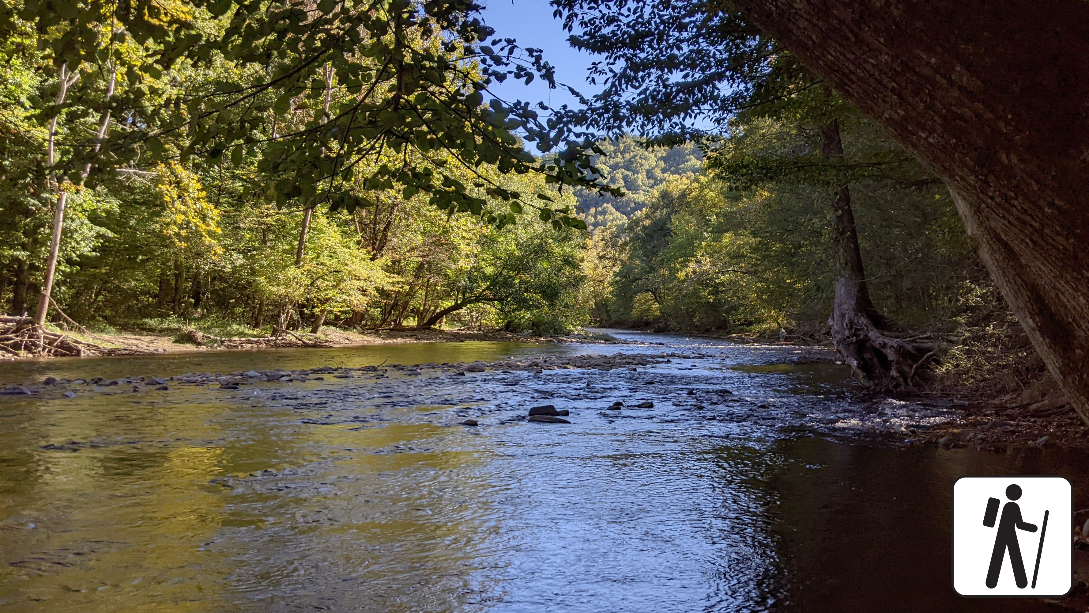
Hike Little River Trail
Unrated
1.4 mi
Hike to Lynn Camp Prong Cascades
Unrated
1.4 mi
Hike to Twentymile Cascade
Unrated
1.2 mi
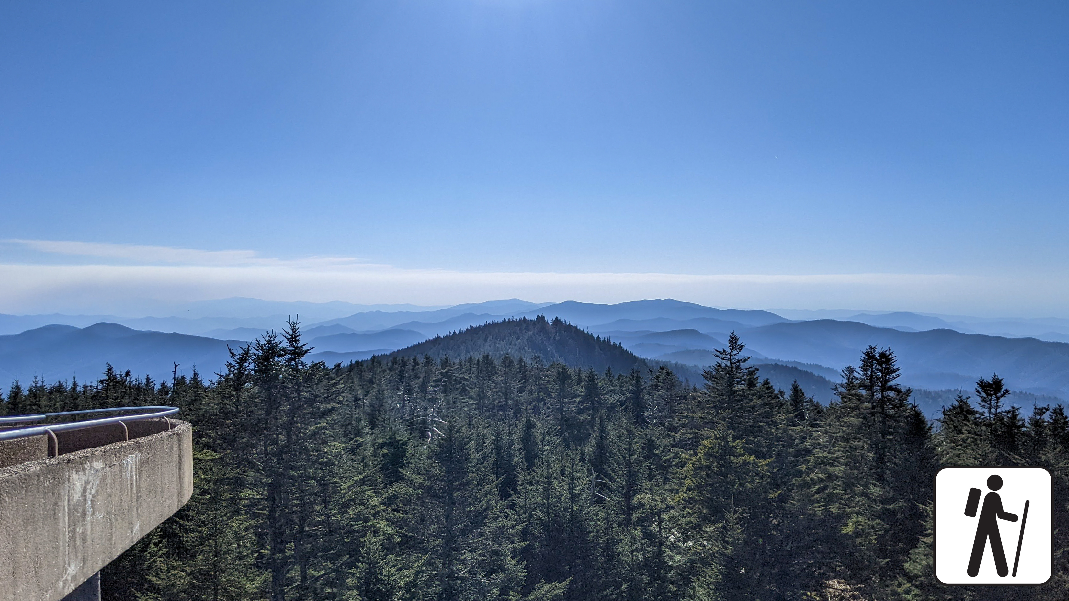
Hike to Kuwohi
Unrated
1 mi

Hike Cove Hardwood Trail
Unrated
0.8 mi
Hike to Look Rock Tower
moderate
0.8 mi
Walk Sugarlands Valley Nature Trail
Unrated
0.5 mi
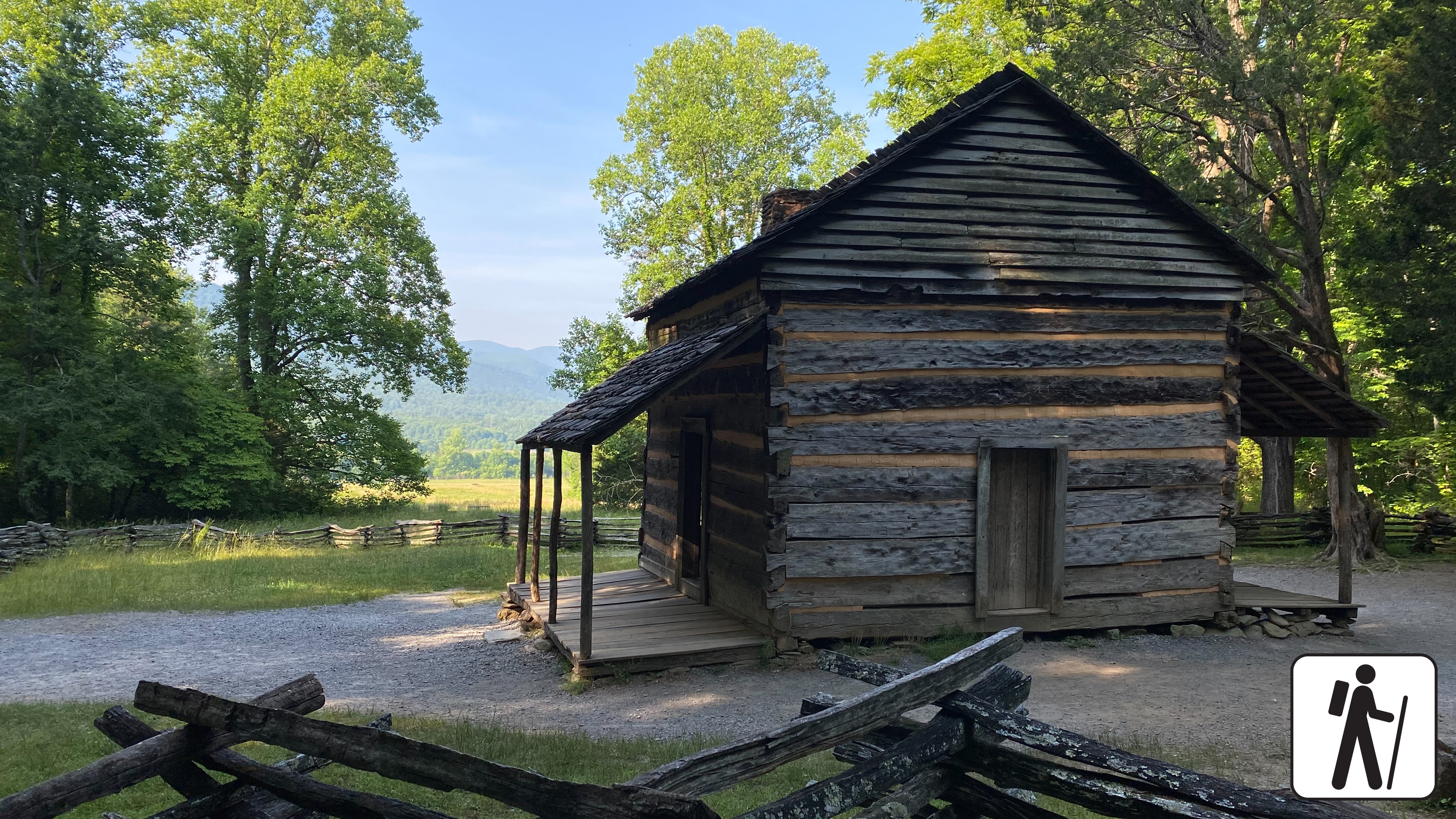
Walk to John Oliver Cabin
easy
0.3 mi
Alum Cave Trail to Mount LeConte
strenuous
11 mi ·2,763 ft gain ·6-8 hours hrs