Guadalupe Mountains National Park

Blue Ridge Trail

moderate BackpackersSolitude SeekersRidge Runners
2 mi Distance
Varies Estimated Time
one_way Trail Type

What to Expect

Blue Ridge Trail is a connector route that links the Tejas and Bush Mountain trails high in the Guadalupe backcountry, and it earns every bit of its moderate rating on the steep pitches climbing toward the ridge crest. This two-mile stretch cuts through dense conifer forest — a surprise to anyone who thinks West Texas is all desert — with ponderosa pine and Douglas fir shading much of the route. The trail narrows in places where it traverses rocky slopes, and the footing demands attention as loose limestone gives way underfoot. Once you gain the ridge, though, the canopy opens to sweeping views of the Chihuahuan Desert spreading out below like a rumpled brown quilt. This is a trail for backpackers linking bigger objectives and for day hikers who want to feel genuinely remote without committing to a full-day death march.
BackpackersSolitude SeekersRidge RunnersLoop HikersHighland Forest

Safety Advisory

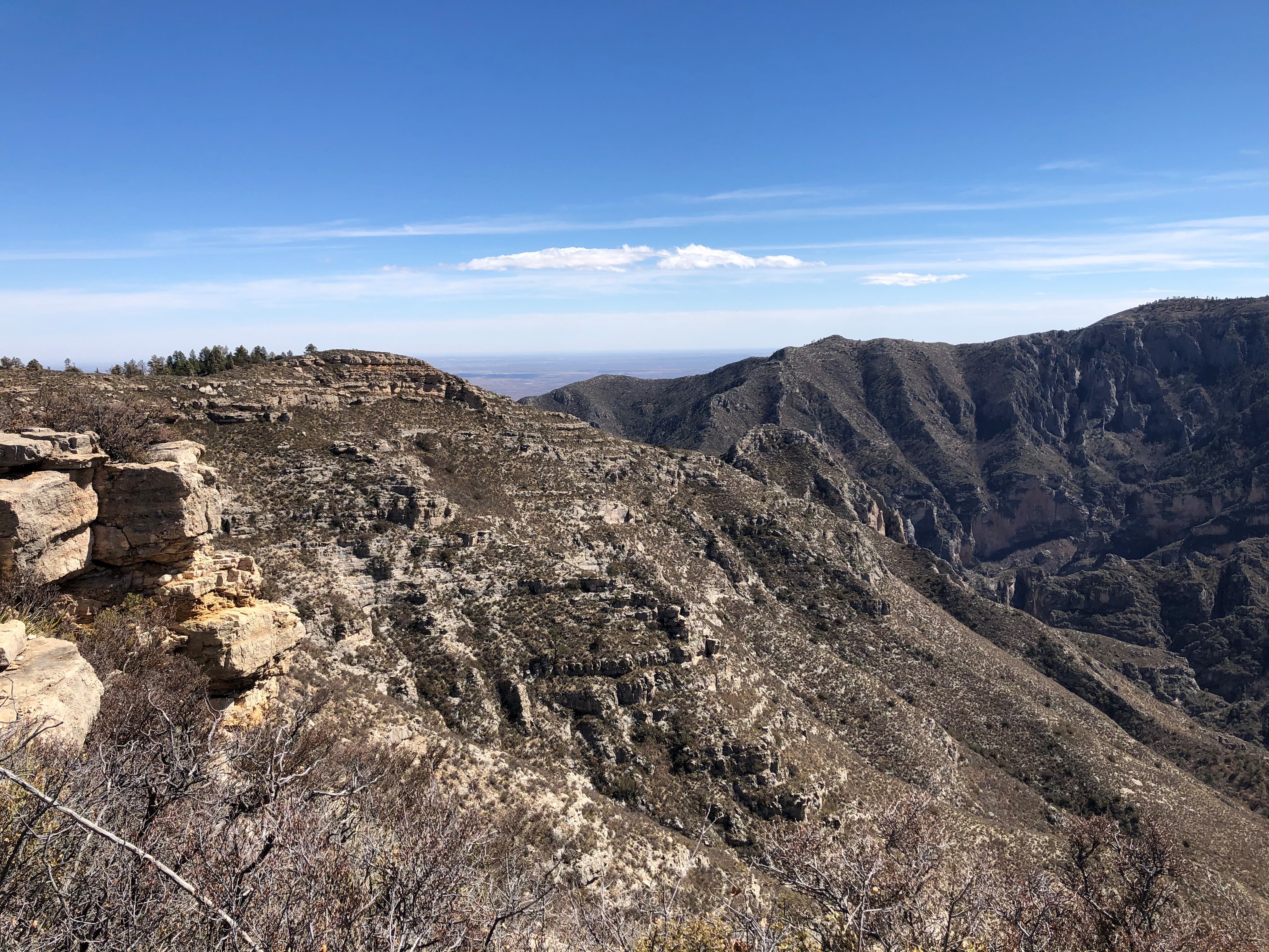
The steep sections near the ridge crest are exposed to weather with no shelter — thunderstorms in the Guadalupes build fast during summer afternoons, and lightning on an exposed ridge is no joke. Start early and plan to be off the high points by noon.

Loose limestone and scree on the steeper pitches make trekking poles almost essential. A turned ankle out here means a long, painful exit — the nearest trailhead is several miles in any direction.

Trail Details

Distance 2 miles round-trip
Difficulty moderate
Estimated Time Varies
Trail Type one_way
Pets Not allowed
Season Year-round
Trailhead Blue Ridge Trail

Pro Tips

Trail Tip

Use this trail as the middle link in a Tejas-Blue Ridge-Bush Mountain loop — going clockwise puts the steepest sections on the descent rather than the climb, saving your knees and your mood.

Trail Tip

There is no reliable water source along Blue Ridge Trail, and the nearest springs on connecting trails can be seasonal at best. Carry every drop you will need and then add a liter for insurance.

Trail Tip

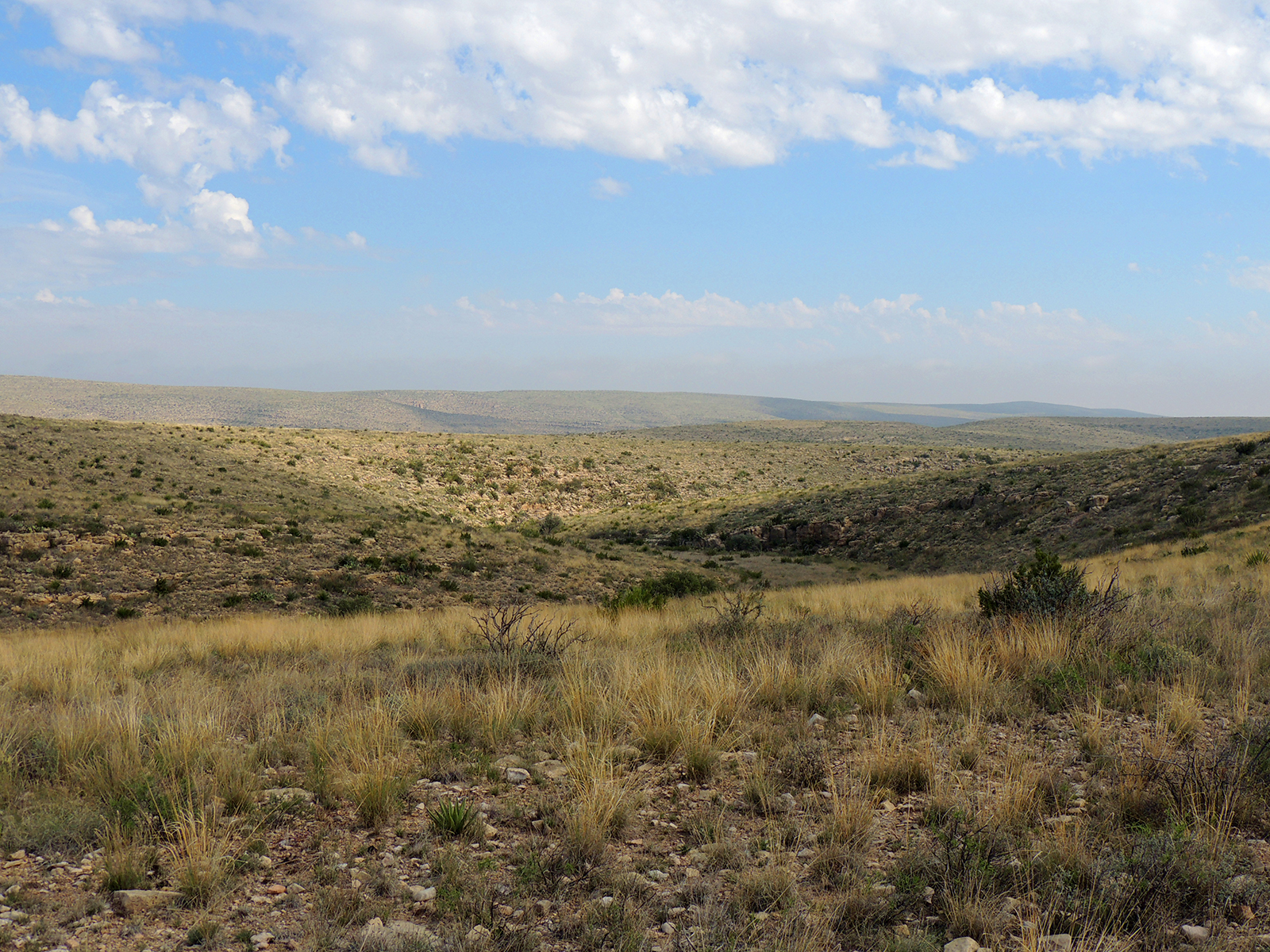
The ridge crest opening about three-quarters of the way up offers the best unobstructed views on the entire route — worth pausing with a snack to take in the contrast between the highland forest behind you and the desert basin below.

More Trails in Guadalupe Mountains

Explore Guadalupe Mountains National Park

13 campgrounds, 80 trails, 226K annual visitors

View Park Guide