Guadalupe Mountains National Park

Guadalupe Peak

strenuous Summit BaggersExperienced HikersPhotographers
8.4 mi Distance
3,000 ft Elevation Gain
6-8 hours Estimated Time
roundtrip Trail Type

What to Expect

You start in the Chihuahuan Desert scrub, boots crunching on limestone, and within a couple of miles you're switchbacking through a forest that has no business being in West Texas — ancient pines and Douglas firs clinging to the ridgeline like they got lost on the way to Colorado. The trail is relentless: nearly three thousand feet of vertical gain over just four miles, with the final push across an exposed rocky spine that will have your quads filing a formal complaint. But then you top out at the highest point in Texas, standing next to a stainless steel pyramid monument, and the Permian Basin unfolds below you like a crumpled brown blanket stretching to the horizon. On a clear day you can see into New Mexico and pick out the Sacramento Mountains. This is a trail for people who want to earn their views — and the bragging rights of bagging a state highpoint.
Summit BaggersExperienced HikersPhotographersState HighpointersBragging Rights

Safety Advisory

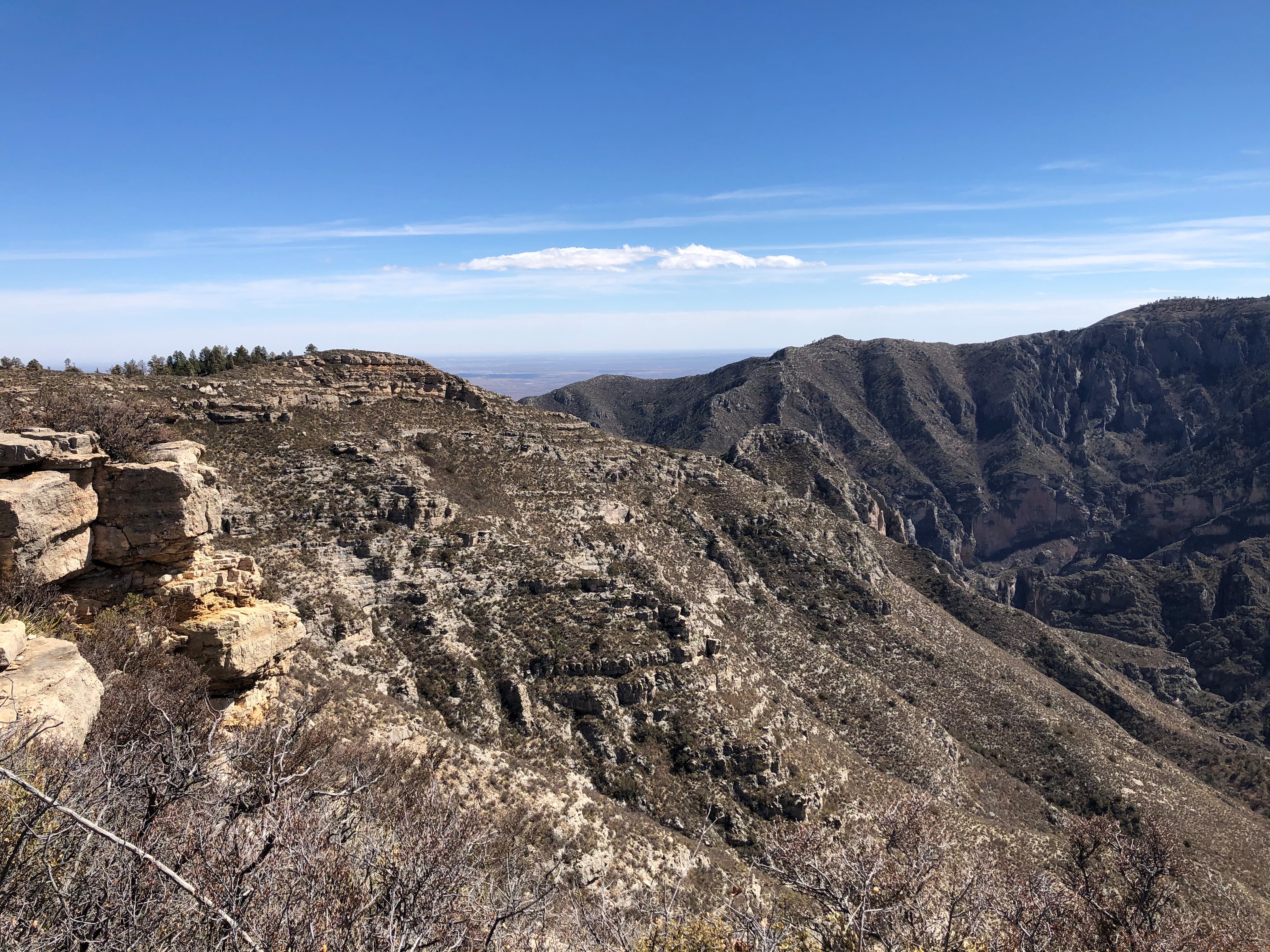
The upper mile of trail is completely exposed along a narrow ridge with steep drop-offs on both sides. Wind gusts above forty miles per hour are common and can genuinely knock you off balance — if conditions are howling at the treeline, turning back is the smart call.

Lightning is a serious threat from late spring through early fall. The summit is the highest point for miles in every direction, and afternoon thunderstorms build fast. Check the forecast and plan to be off the top by noon during monsoon season.

Trail Details

Distance 8.4 miles round-trip
Elevation Gain 3,000 ft
Difficulty strenuous
Estimated Time 6-8 hours
Trail Type roundtrip
Pets Not allowed
Season Guadalupe Peak is the most popular trail in the park. If hiking on a weekend, expect trailhead parking to fill early in the day. Overflow parking for the trailhead is located at the Pine Springs Visitor Center. 
Trailhead Guadalupe Peak

Pro Tips

Trail Tip

Start by 7 a.m. at the latest, especially on weekends — the Pine Springs trailhead lot holds maybe forty cars, and it fills before 9. Overflow parking at the visitor center adds a short walk but beats circling the lot.

Trail Tip

Carry at least three liters of water per person. There is zero water on this trail, and the combination of desert sun and altitude will drain you faster than you expect. A wind layer is non-negotiable — the summit is often twenty degrees cooler than the trailhead with sustained gusts.

Trail Tip

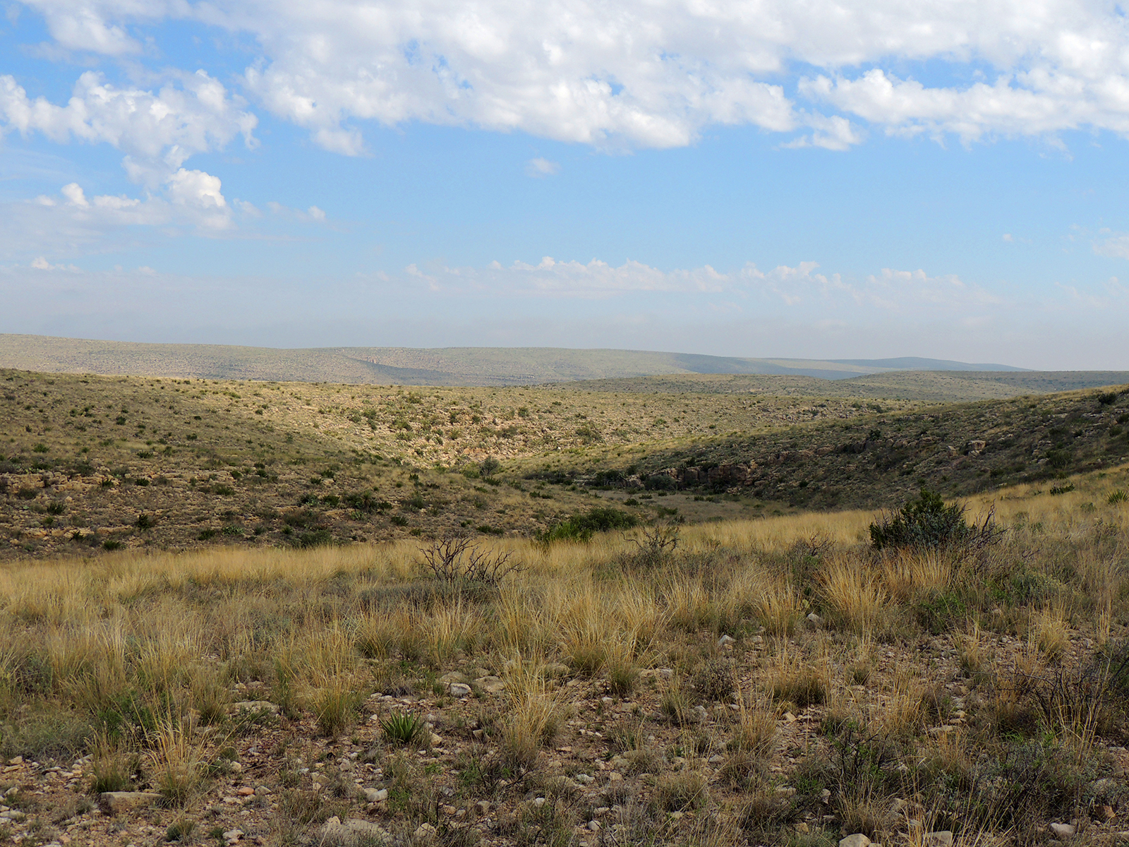
The best photo spot is not the summit itself but the rocky outcrop about a quarter mile before you reach the pyramid marker. From there you get the peak in the foreground with El Capitan's sheer limestone face dropping away to the south — the shot that makes people ask where the hell in Texas this is.

Photos

Getting There

More Trails in Guadalupe Mountains

Explore Guadalupe Mountains National Park

13 campgrounds, 80 trails, 226K annual visitors

View Park Guide