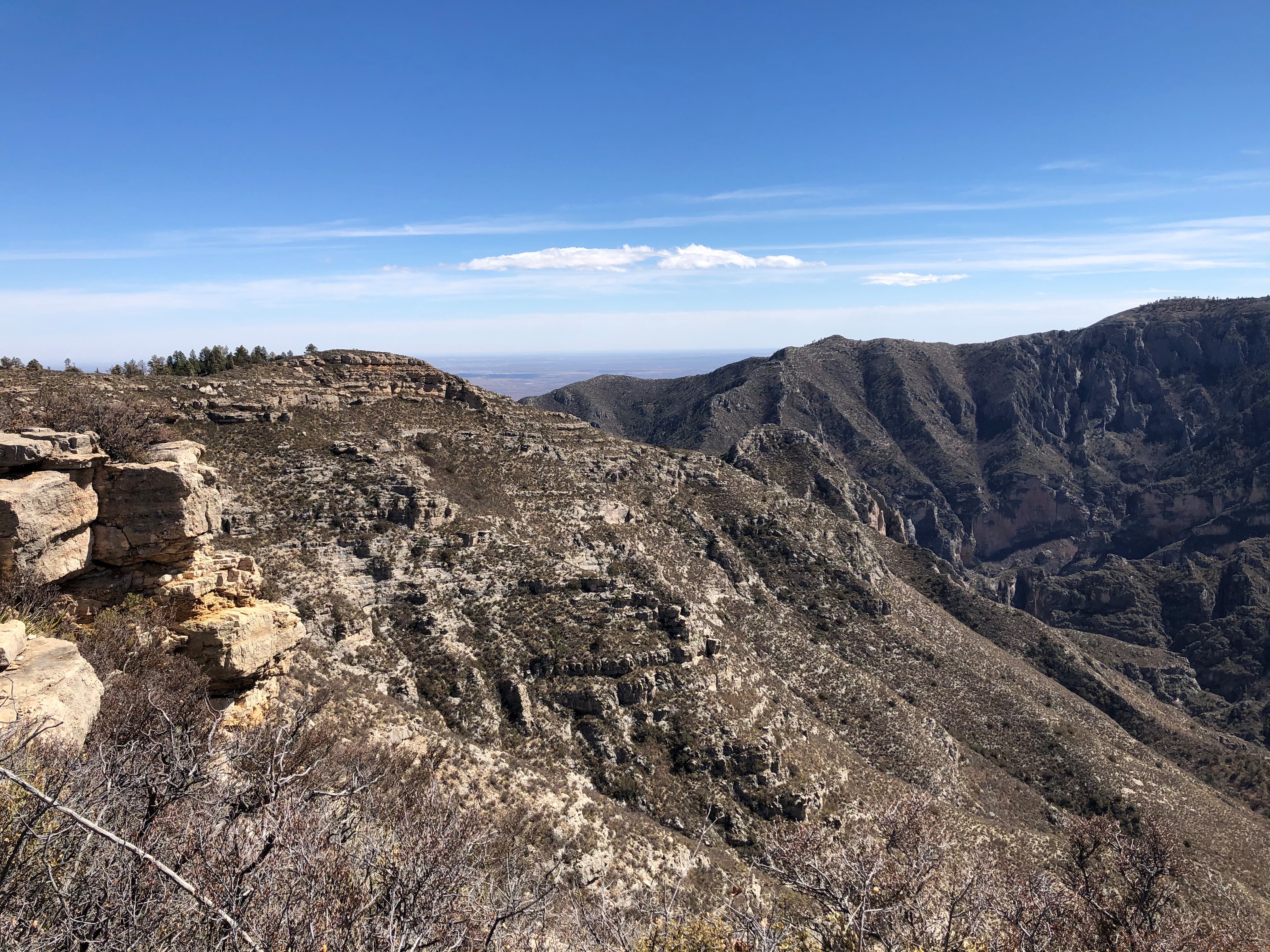
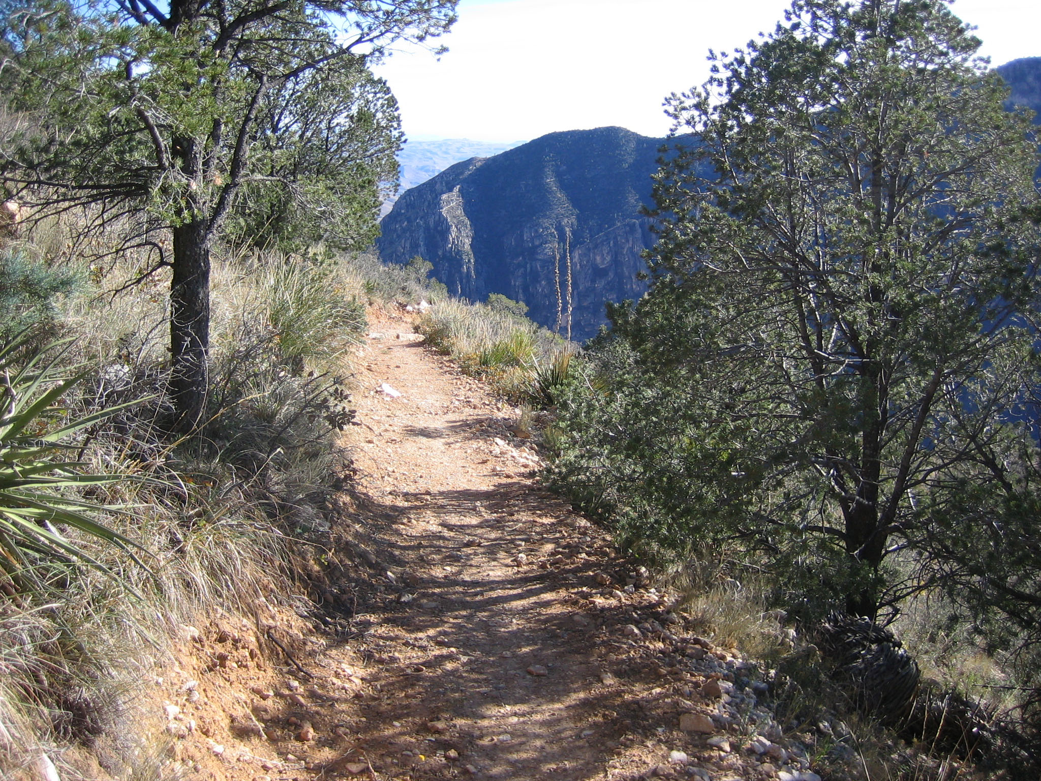
Guadalupe Ridge Trail (GRT)
What to Expect
Safety Advisory
Dehydration is the primary killer on this route — water sources are virtually nonexistent along the ridge, and summer temperatures make the trail dangerously hot. Plan water caches or arrange resupply, and never assume a spring marked on older maps is still flowing.
High winds from November through April can exceed sixty miles per hour along exposed ridgelines, creating genuine hypothermia risk even in moderate temperatures. Anchor your shelter bombproof and carry wind-resistant layers.
This is remote, rugged country with no cell service for most of the route. A satellite communicator is not optional — a twisted ankle on the ridge means a multi-day rescue if no one knows where you are.
Trail Details
Pro Tips
Build your full itinerary through the Guadalupe Mountains recreation.gov permitting system before you go — it lets you plan campsites across all four land jurisdictions in one booking, which saves enormous headaches with separate permit offices.
Cache water along the route if you can arrange vehicle support at road crossings near the Lincoln National Forest sections — there are no reliable water sources for stretches of thirty-plus miles, and carrying five days of water is not realistic.
The Carlsbad Caverns end of the trail (visitor center to west boundary) is currently closed due to flood damage, so plan your route from the Guadalupe Mountains side and check NPS alerts before committing to a start date.
Photos
 NPS / Andy Rankin