Guadalupe Mountains National Park

Lost Peak Saddle

moderate Solitude SeekersFall ColorDay Hikers
6.4 mi Distance
3-6 hours Estimated Time
roundtrip Trail Type

What to Expect

Starting from Dog Canyon on the park's quieter north side, the Tejas Trail wastes no time gaining elevation through a surprisingly lush corridor of oak, maple, and pine — a far cry from the Chihuahuan Desert scrub most people associate with West Texas. The climb is steady and honest, gaining nearly 1,400 feet over three-plus miles through terrain that shifts from wooded canyon floor to exposed ridgeline. As you approach the saddle, the trees thin out and the views open up dramatically — the Guadalupe Ridge sprawling to the south, the vast salt flats shimmering to the west. The saddle itself sits just below Lost Peak's summit, which has no maintained trail, so this is your turnaround and your reward. Dog Canyon sees a fraction of the traffic that the Pine Springs side gets, so expect genuine solitude. This one is perfect for hikers who want a real workout without the crowds, and who appreciate earning their views the hard way.
Solitude SeekersFall ColorDay HikersPhotographersFit Beginners

Safety Advisory

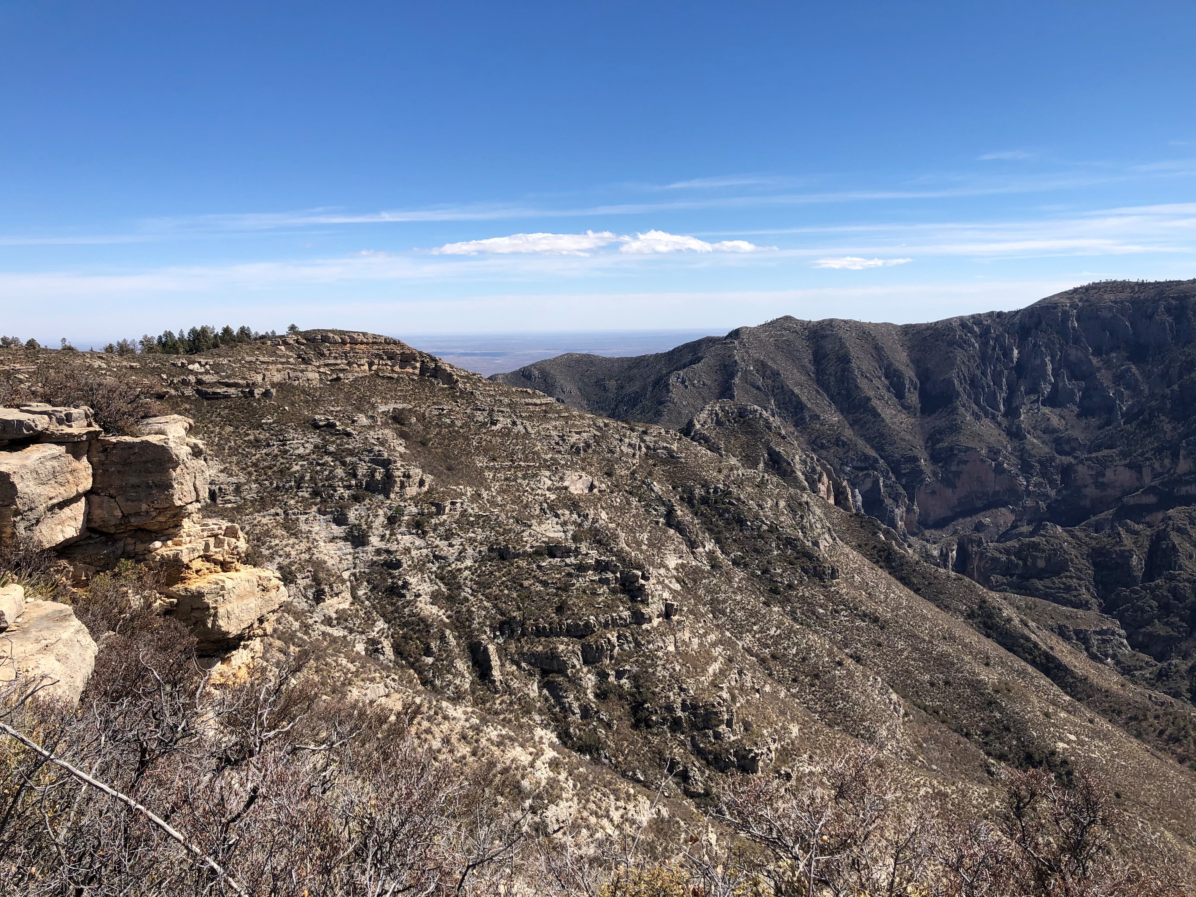
Wind is the defining hazard here — gusts regularly exceed 30 mph from November through March, strong enough to knock you off balance on exposed sections near the saddle. Trekking poles help, and if sustained winds top 40 mph, turn around.

Summer temperatures can push this hike into dangerous territory despite the higher elevation. If you insist on a summer attempt, start at first light and plan to be off the exposed ridgeline by 10 a.m.

Trail Details

Distance 6.4 miles round-trip
Difficulty moderate
Estimated Time 3-6 hours
Trail Type roundtrip
Pets Not allowed
Season Even with the higher elevations on the northern part of the park, summer temperatures may make this hike unsafe or at the very least unpleasant. Expect high winds (in excess of 30MPH from November through March). 
Trailhead Lost Peak Saddle

Pro Tips

Trail Tip

Dog Canyon Ranger Station is a 45-minute drive from the main Pine Springs visitor center via a route through New Mexico — plan your approach accordingly and top off your gas tank in Carlsbad or White's City before heading up.

Trail Tip

Carry at least two liters per person even in cooler months — there is no reliable water source along the Tejas Trail, and the sustained climb will dehydrate you faster than you expect at this elevation.

Trail Tip

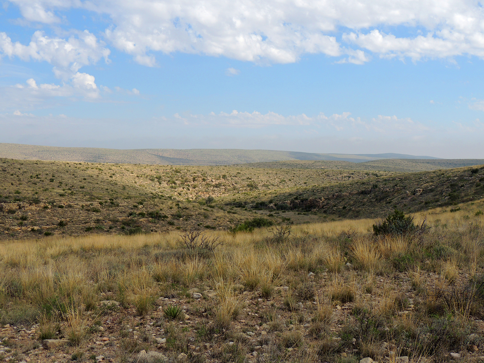
The saddle makes a spectacular lunch spot with 270-degree views, but find a windbreak behind the rock outcrops on the south side — sitting exposed on the saddle in Guadalupe wind will turn your sandwich into a projectile.

Photos

Getting There

More Trails in Guadalupe Mountains

Explore Guadalupe Mountains National Park

13 campgrounds, 80 trails, 226K annual visitors

View Park Guide