Tejas Thru Hike
What to Expect
Safety Advisory
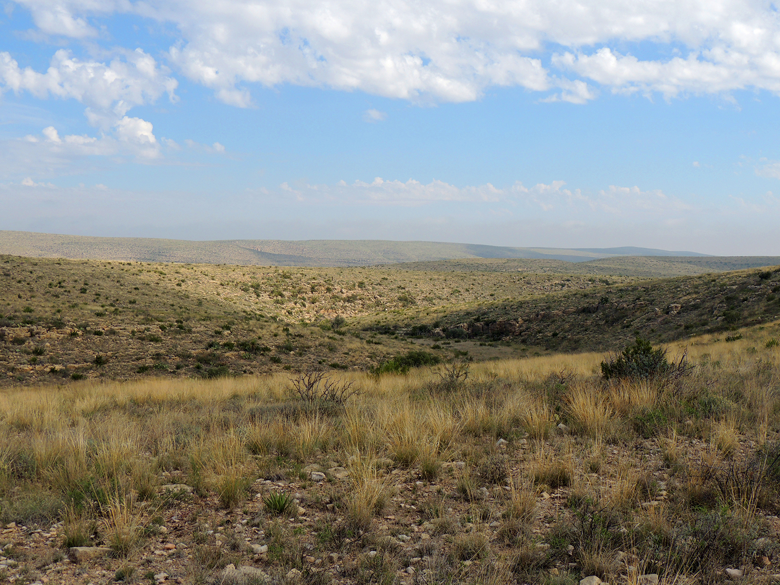
The lower portions of the trail are fully exposed to the Chihuahuan Desert sun with zero shade. Temperatures regularly exceed 100 degrees in summer, and heat exhaustion is a genuine risk — start before dawn or avoid June through August entirely.
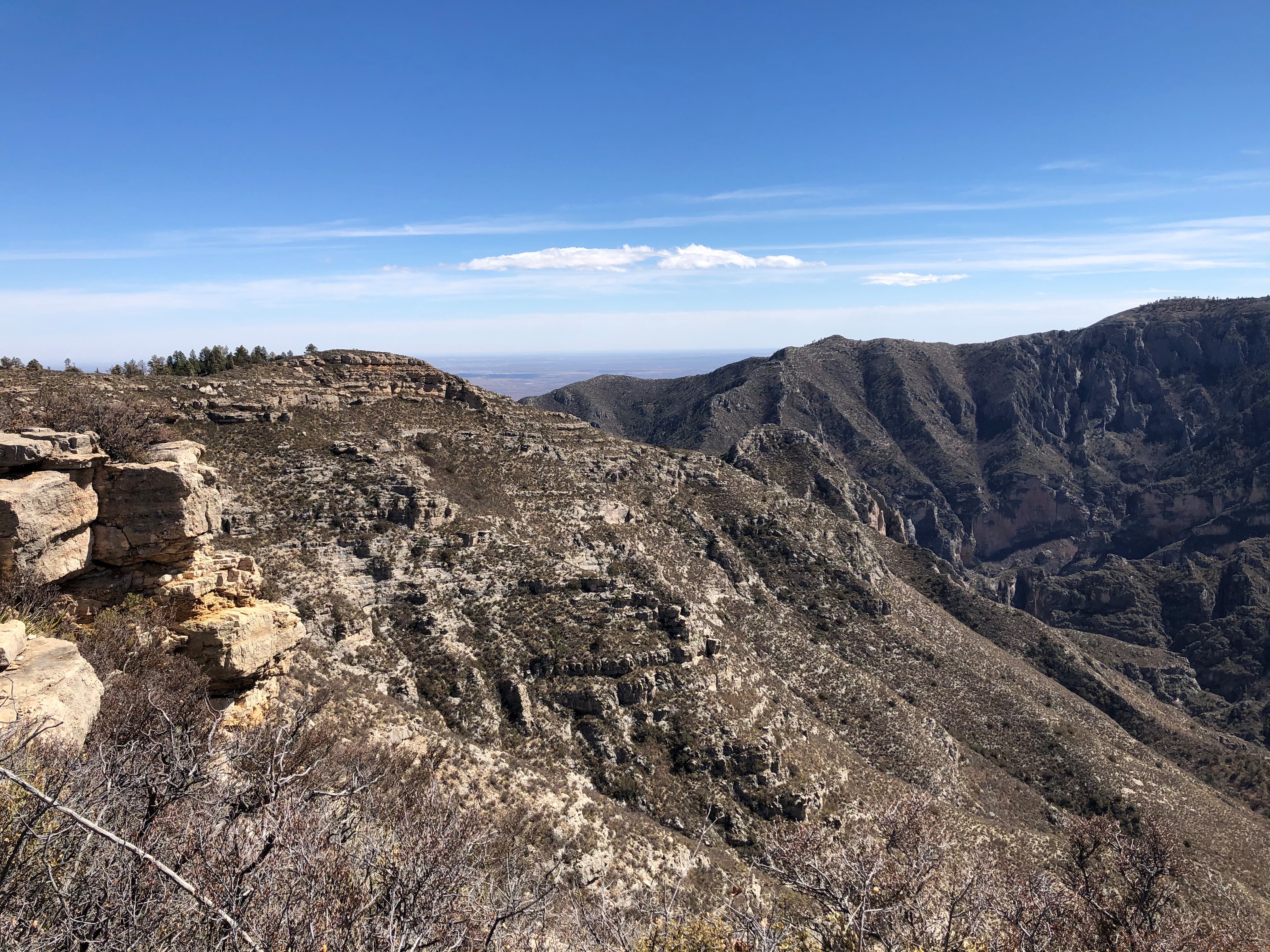
Guadalupe Mountains are notorious for sudden, violent wind gusts that can exceed sixty miles per hour along exposed ridgelines. These winds can knock you off balance on narrow sections and make hiking miserable, so check forecasts and be prepared to hunker down if conditions deteriorate.
Lightning is a serious threat on the exposed highland sections during summer monsoon season, typically July through September. If thunderstorms are building, descend from ridgelines immediately.
Trail Details
Pro Tips
This is a point-to-point trail, so arrange a car shuttle between Pine Springs and Dog Canyon before you start — the drive between trailheads takes about an hour and forty-five minutes on US-62 and NM-137, so you cannot easily double back.
Carry every drop of water you need. There are no reliable water sources along the route, and the exposed lower sections will drain you fast. Plan for at least four liters in warm months.
Start from Pine Springs heading north so the big climb happens while your legs are fresh and the morning air is cool. The Dog Canyon descent at the end is far more forgiving on tired knees than the Pine Springs side would be.
Photos
 NPS/Bieri