Greenstone Section 2: Hike from Mount Franklin to Mount Ojibway
What to Expect
Safety Advisory
Isle Royale has no cell service anywhere on the island. Carry a physical map and compass — GPS devices lose satellite coverage in the dense boreal stretches between overlooks, and trail junctions are easy to miss.
Weather on the ridge changes fast and violently. Lake Superior generates its own storm systems, and exposed sections between Franklin and Ojibway offer zero shelter from lightning — if clouds build, drop below the ridgeline immediately.
Moose are common along the Greenstone Ridge and can be dangerously aggressive during fall rut. Give any moose you encounter a wide berth — at least 100 feet — and never position yourself between a cow and calf.
Trail Details
Pro Tips
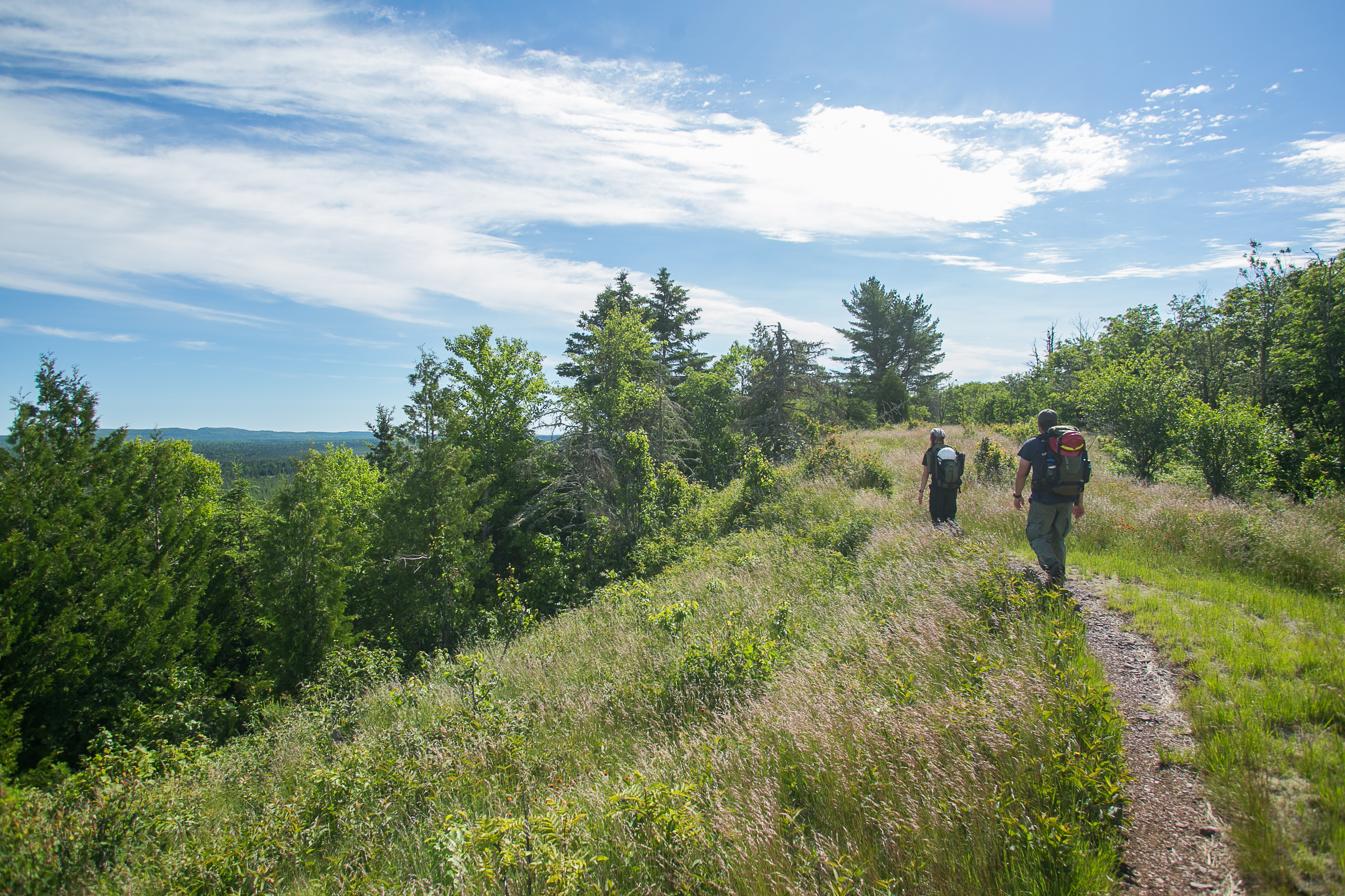
This section is almost always hiked as part of a longer Greenstone Ridge traverse — plan your campsite reservations at Lane Cove or Three Mile well in advance, since Isle Royale backcountry shelters fill up fast in July and August.
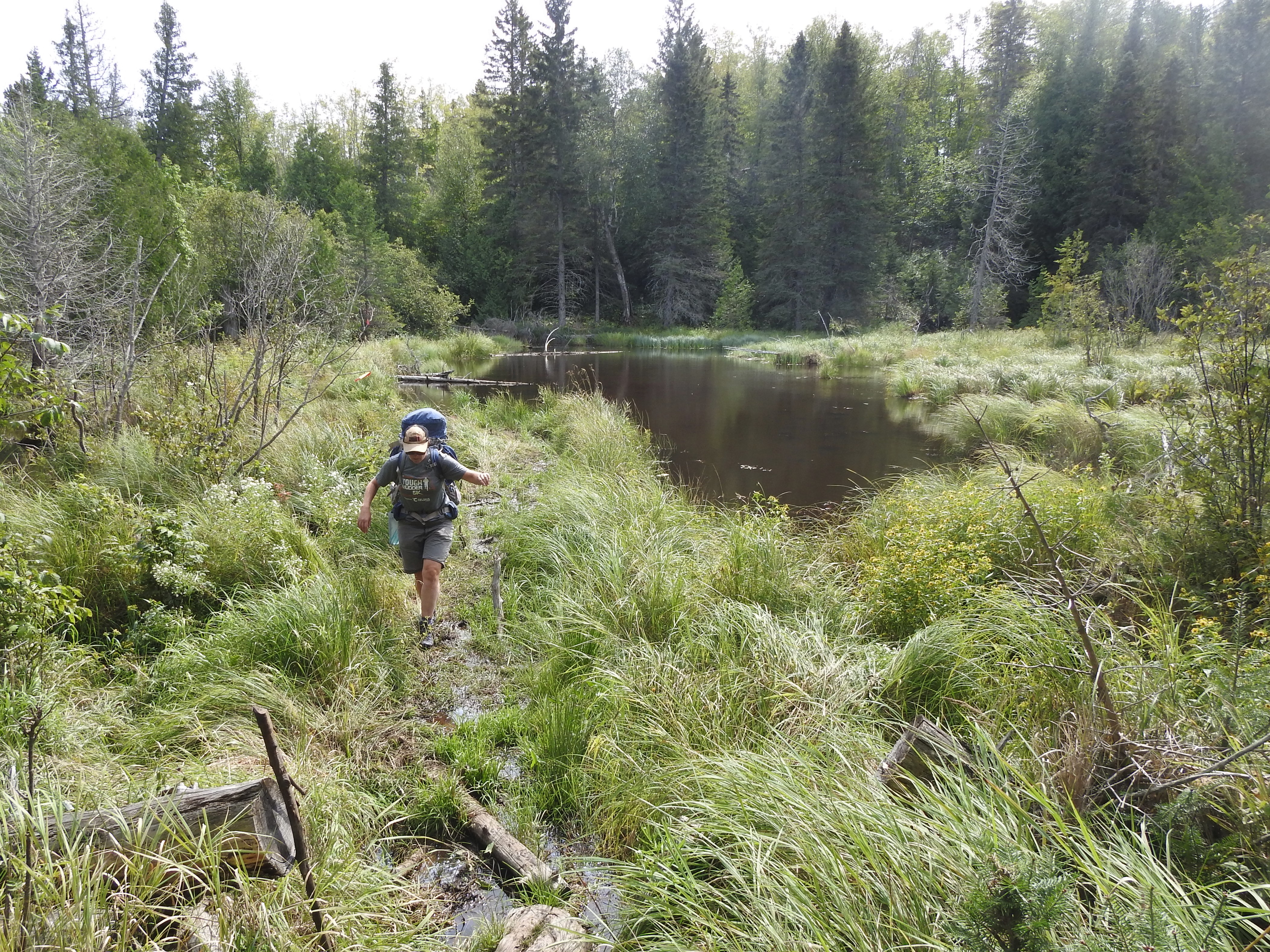
The rocks and roots along this stretch are brutal on trail runners — wear full ankle-supporting boots and bring trekking poles, especially if you're carrying a multi-day pack across the uneven ridge.
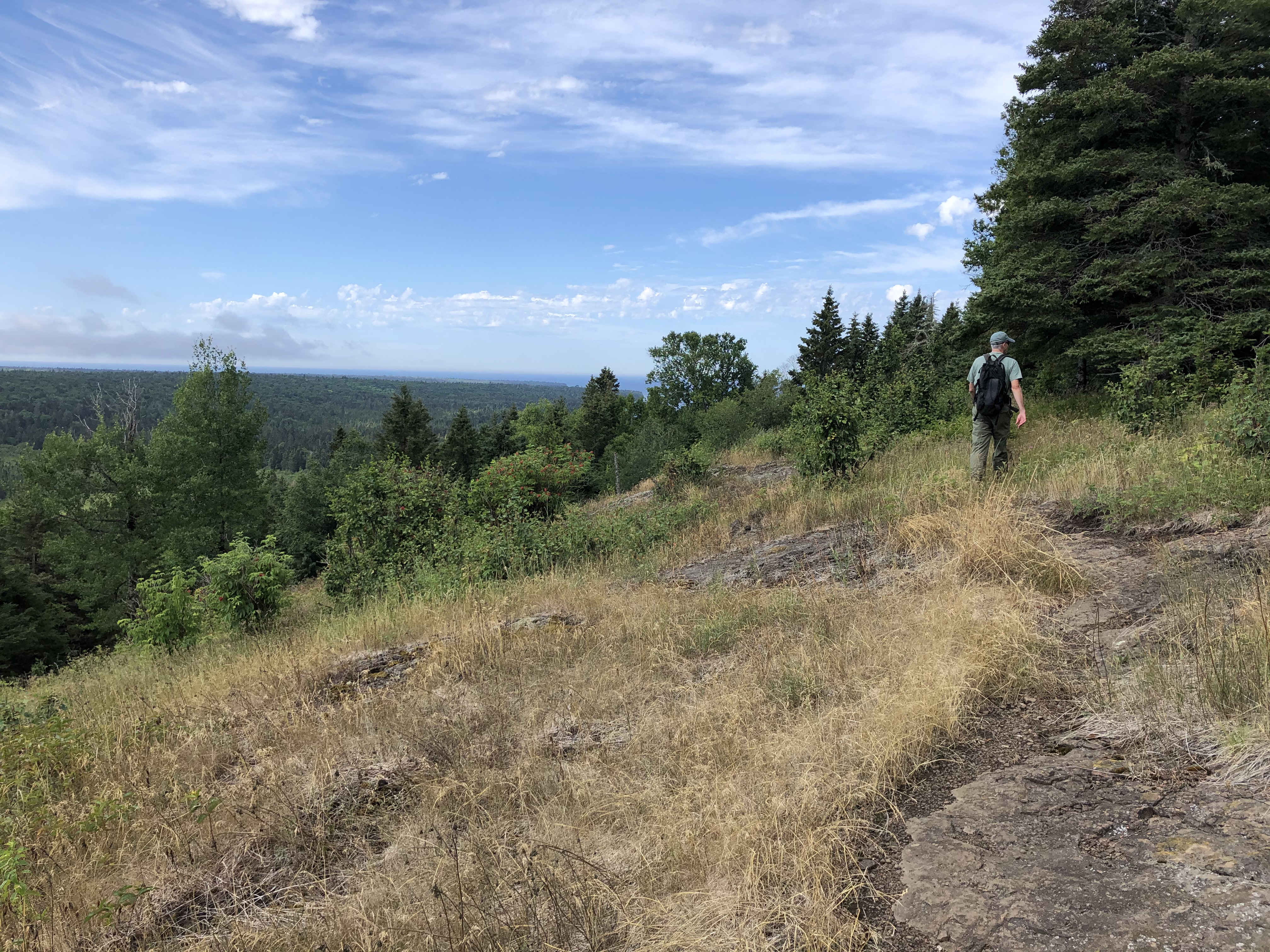
Mount Ojibway has the remains of an old fire tower foundation at the summit — it's the best perch for photography, giving you an unobstructed 360-degree view without fighting tree lines for your shot.
Photos
 NPS / LORI HONRATH