Greenstone Section 7: Hike from South Desor to Island Mine
What to Expect
Safety Advisory
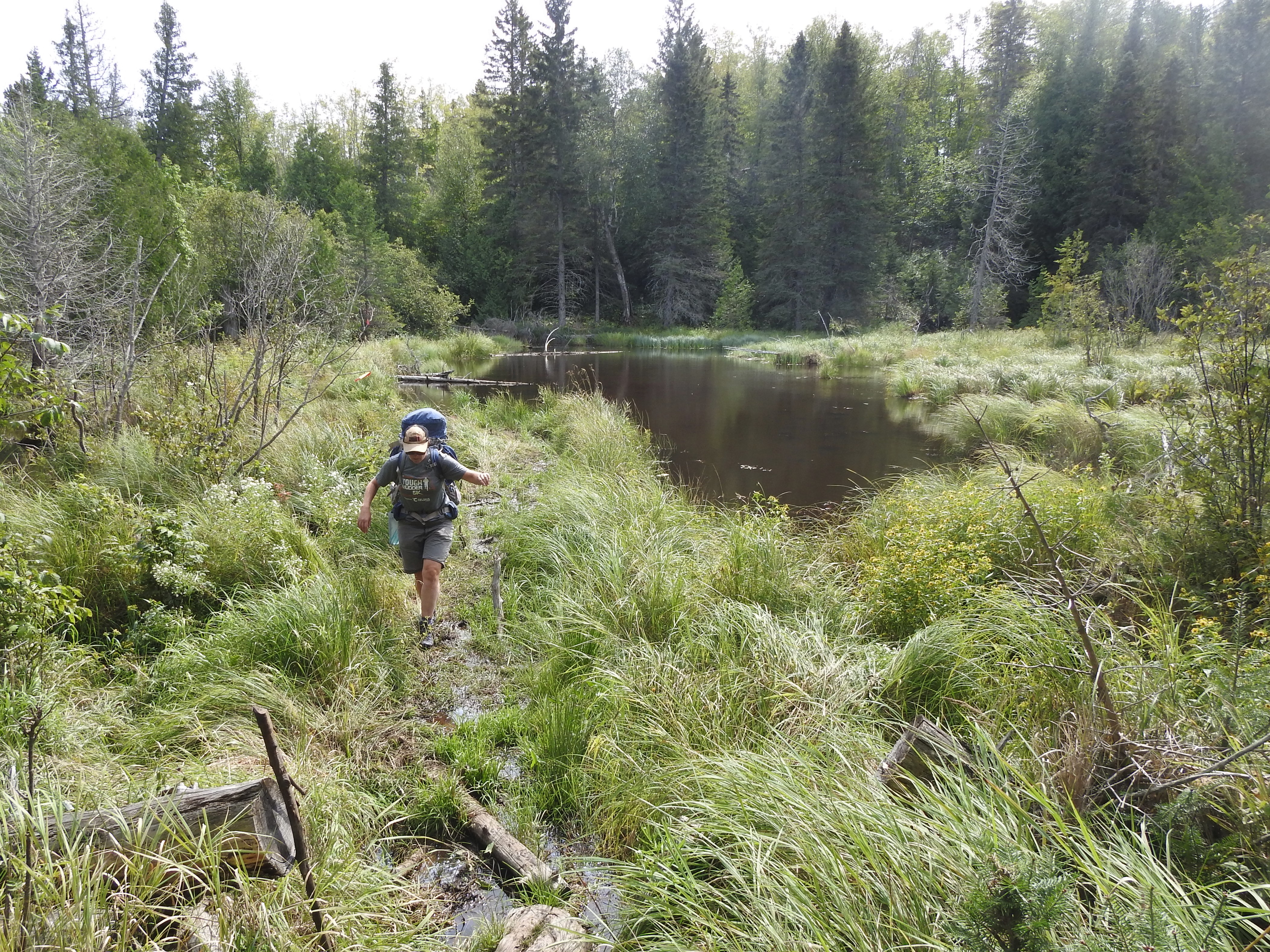
Trail markers can be sparse and overgrown by mid-summer — carry a detailed topo map and compass, because GPS signal is unreliable under heavy canopy and there are no cell towers on the island.
Moose are common along this corridor and can be aggressive during calving season in late May and June, or during the fall rut — give them at least 50 feet and never position yourself between a cow and calf.
Trail Details
Pro Tips
South Desor campground has a pit toilet but no reliable water source nearby — tank up at the lake access near Island Mine or carry enough to get you through camp and the next morning's departure.
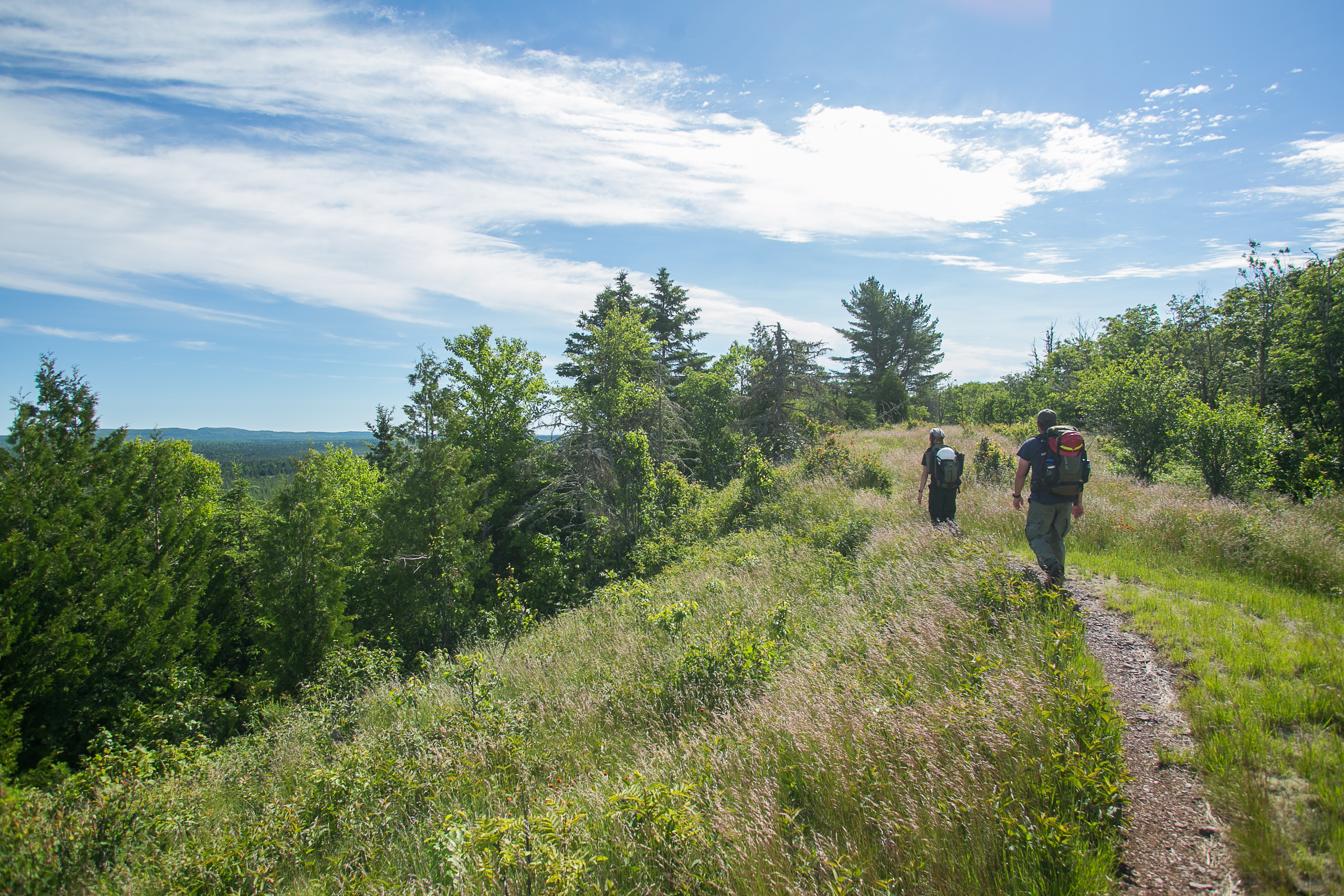
This section is sandwiched between two of the more dramatic parts of the Greenstone Ridge, so plan your itinerary to pair it with the Lake Desor spur or the push toward the Minong Ridge junction for variety.
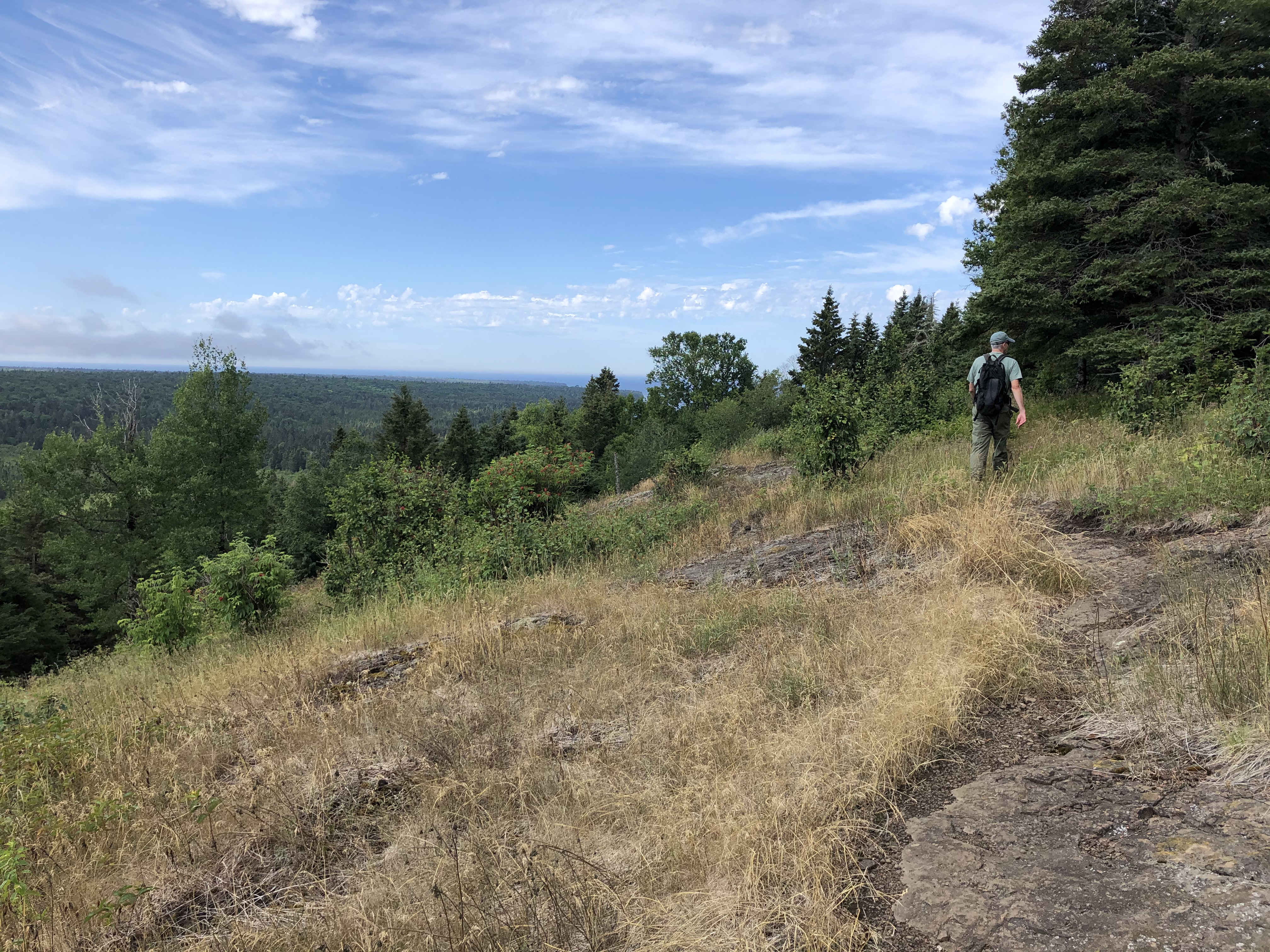
The unmarked summit of Mount Desor sits roughly midway through the section — if you want to bag the island's high point with any certainty, bring a topo map or GPS and watch for the subtle rise around the 1,394-foot contour.
Photos
 NPS
NPS