Minong Section 4: Hike from North Desor to Windigo
What to Expect
Safety Advisory
Beaver dam crossings are genuinely hazardous when wet. Logs shift underfoot, water depth is deceptive, and a fall here means cold water and potential gear damage miles from any help. Cross slowly and probe each step.
This is true wilderness with no bail-out options — the nearest ranger station is at Windigo, and evacuation requires a seaplane or boat. Carry a PLB or satellite communicator, and make sure someone onshore knows your itinerary.
Moose are common along this corridor, especially in boggy areas near beaver ponds. Give them a wide berth — a cow with calves will charge. If one blocks the trail, wait it out rather than trying to push past.
Trail Details
Pro Tips
Trekking poles are not optional here — the beaver dam crossings are slick logs over standing water, and one wrong step means a soaked boot and a bad day. Bring poles with rubber tips for grip on wet wood.
Carry a physical map and compass as your primary navigation tools. Cell service is nonexistent on Isle Royale, GPS units can lose satellite coverage under the ridge canopy, and the cairn markings in open burn areas are easy to lose in fog.
Time your water carries carefully — reliable sources are spaced unevenly along this section. Filter from streams near the beaver dam areas where flow is consistent, and carry at least two liters between reliable fills.
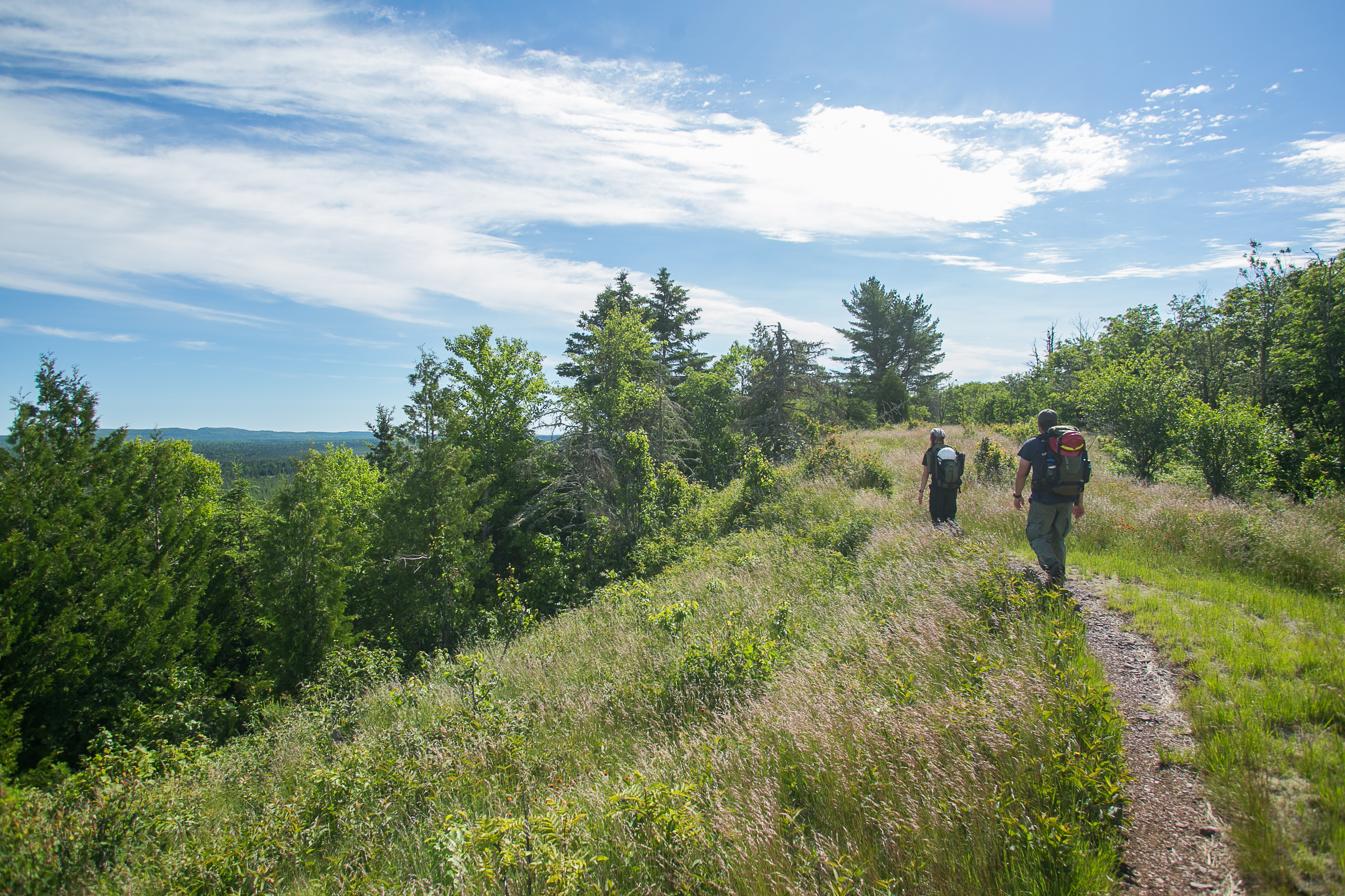
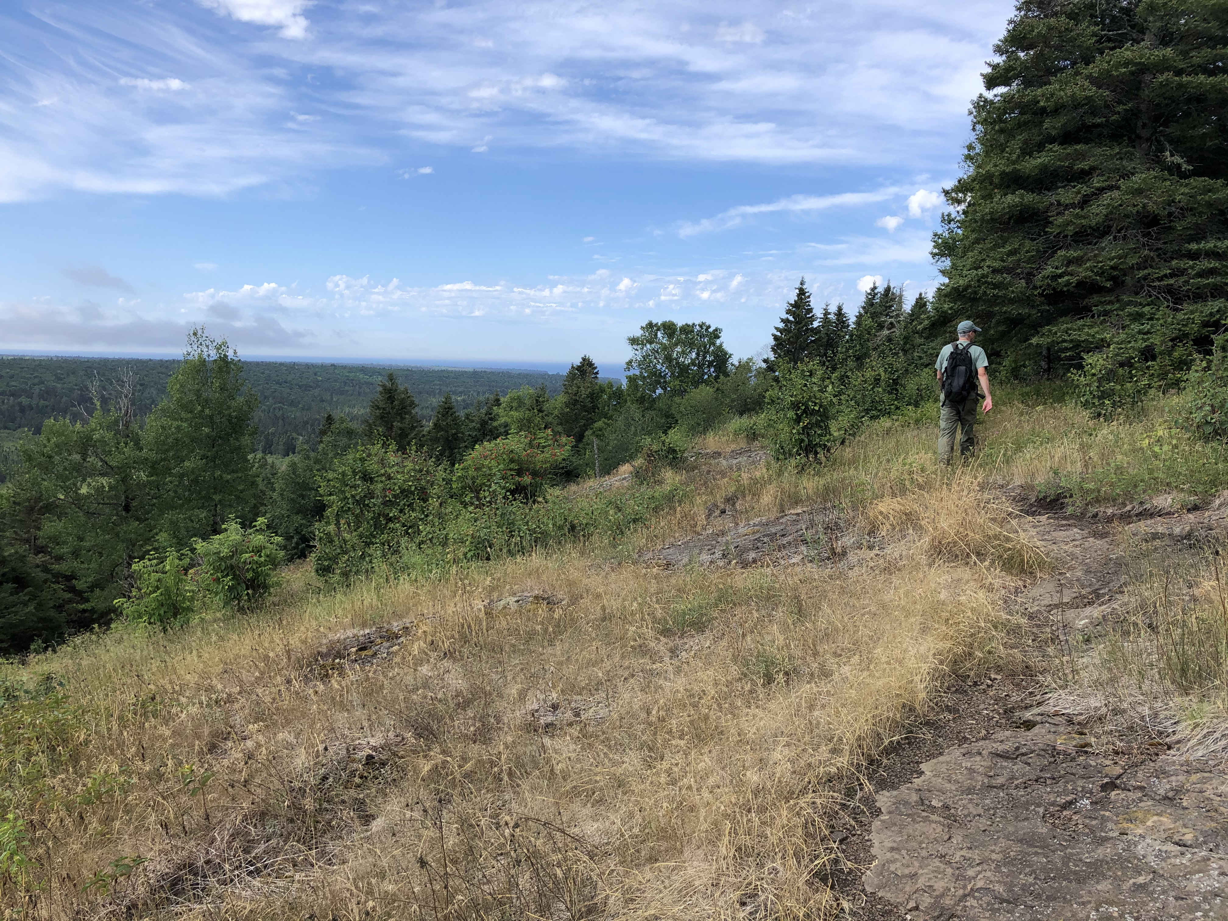
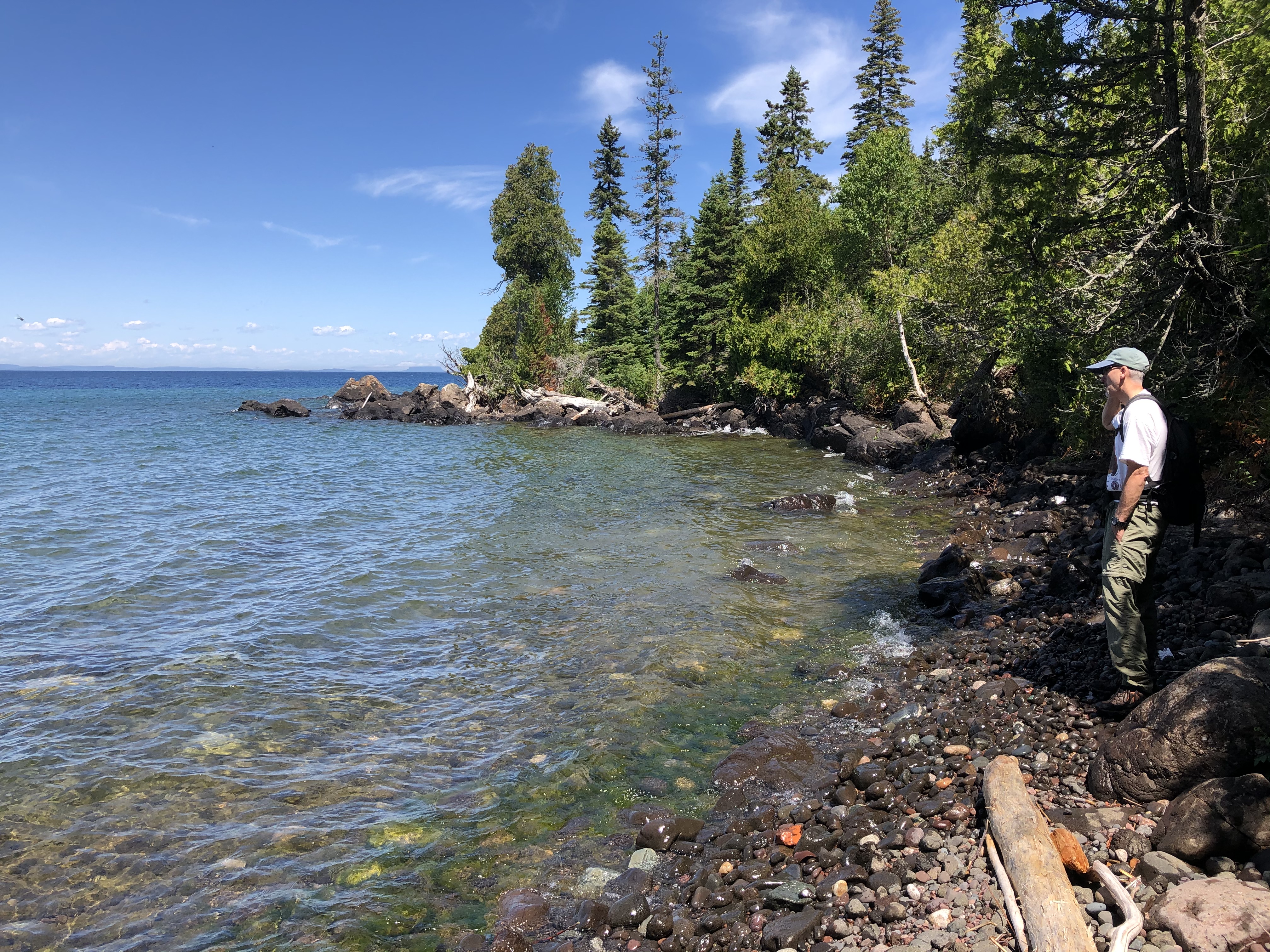
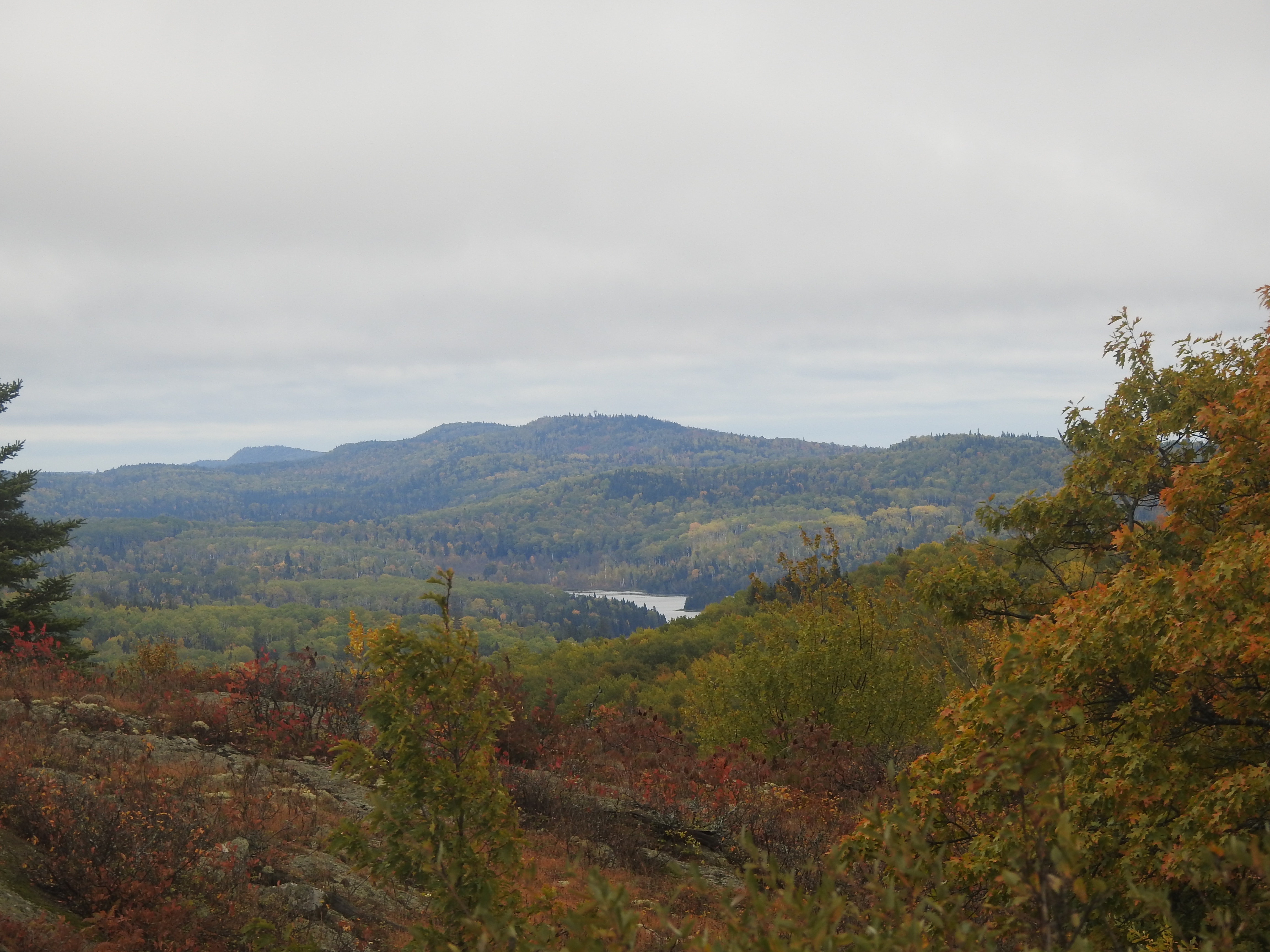
Photos
 NPS / DERRICK JAEGER