California Riding and Hiking Trail
What to Expect
Safety Advisory
There is absolutely no water source along the entire 36-mile route. This is not a suggestion — it is a survival consideration. Plan your water carry meticulously for each section.
The trail is almost entirely exposed with no shade. Summer temperatures regularly exceed 110 degrees Fahrenheit, making any section hike between May and September genuinely dangerous. Stick to October through April.
Navigation can be tricky where the trail crosses sandy washes — cairns and trail markers are sparse in places. Carry a downloaded GPS track rather than relying on footprints that blow away overnight.
Trail Details
Pro Tips
Break this into 3-4 day hikes using the road crossings at Keys View Road, Geology Tour Road, and Pinto Basin Road as shuttle points — each section has a distinctly different character.
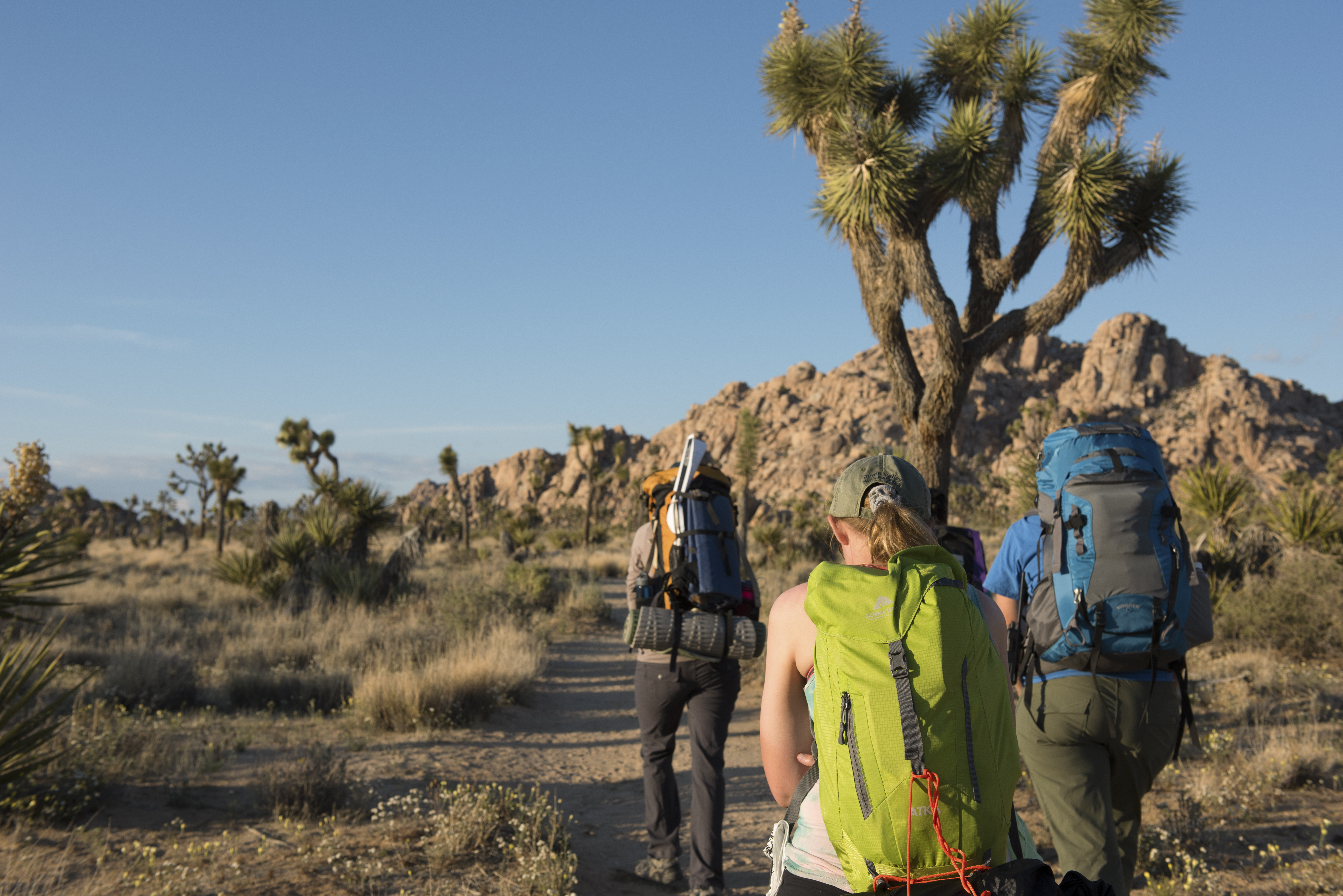
Carry a minimum of one gallon of water per person for any section longer than 8 miles. There is zero reliable water on this entire trail, and the desert air will dehydrate you faster than you think.
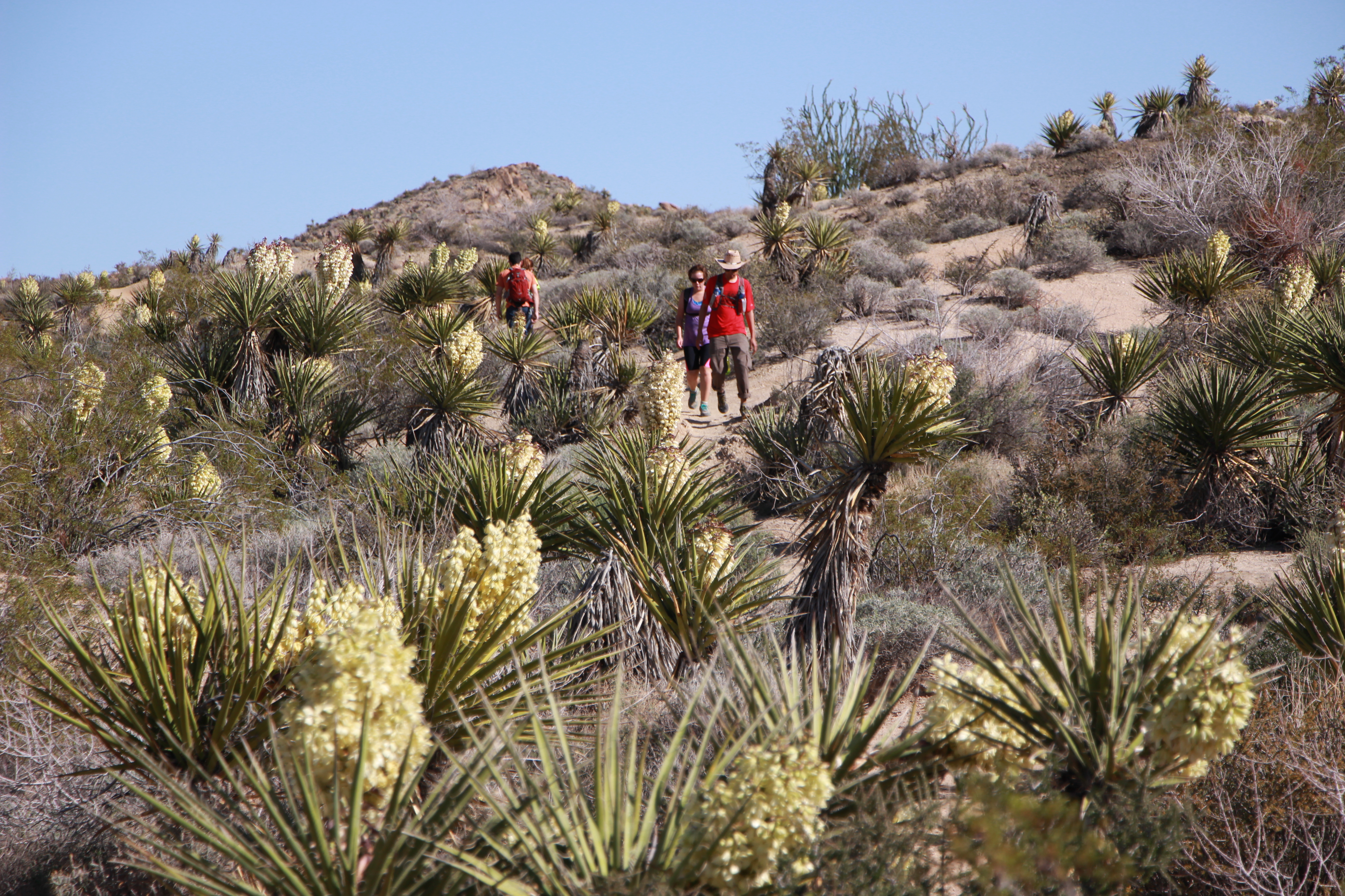
The Black Rock Canyon to Ryan Mountain junction section (roughly the first 10 miles) offers the most dramatic Joshua tree forest scenery and makes the best standalone day hike if you only have time for one segment.