Joshua Tree National Park

Hike Panorama Loop Trail

View SeekersDesert LoversSolitude Seekers
6.6 mi Distance
1,000 ft Elevation Gain
3-5 hours Estimated Time
roundtrip Trail Type

What to Expect

The Panorama Loop starts deceptively mellow — you'll trudge through a sandy wash that feels more like a dry riverbed than a proper trail, your boots sinking with each step. But once you climb out of the wash and gain the ridgeline of the Little San Bernardinos, the name earns itself. Views open up in every direction: the Coachella Valley shimmering below, San Gorgonio's snow-capped bulk to the west, and an impossibly dense Joshua tree forest spreading across the slopes like something from a Dr. Seuss fever dream. The transition from open desert into pinyon-juniper woodland feels like crossing into a different park entirely. That thousand feet of elevation gain sneaks up on you — nothing steep enough to stop and catch your breath, just a steady, leg-sapping climb that you'll feel the next morning. Hikers who love earning their views without technical scrambling will find this one deeply satisfying.
View SeekersDesert LoversSolitude SeekersPhotographyWinter Hiking

Safety Advisory

Summer temperatures in Joshua Tree regularly exceed 110 degrees, and this trail offers almost no shade along the ridgeline. Multiple hikers have required rescue on exposed desert trails in this park — if temperatures are forecast above 90, pick a different day.

There is zero water on this trail and no reliable cell service in the Black Rock area. Carry at least three liters per person and tell someone your planned return time before you leave the campground.

Trail Details

Distance 6.6 miles round-trip
Elevation Gain 1,000 ft
Estimated Time 3-5 hours
Trail Type roundtrip
Pets Not allowed
Season The summer heat can be deadly. This trail is not recommended during the summer. If hiking during high heat, get to the trailhead before 9 am and always let a safety buddy know where you are going and when you plan on leaving the park. Cell service is unreliable and cannot be garaunteed. There is also no running water. Always check the weather before heading into the park, and consider delaying your hike if the weather conditions are too extreme. 
Trailhead Hike Panorama Loop Trail

Pro Tips

Trail Tip

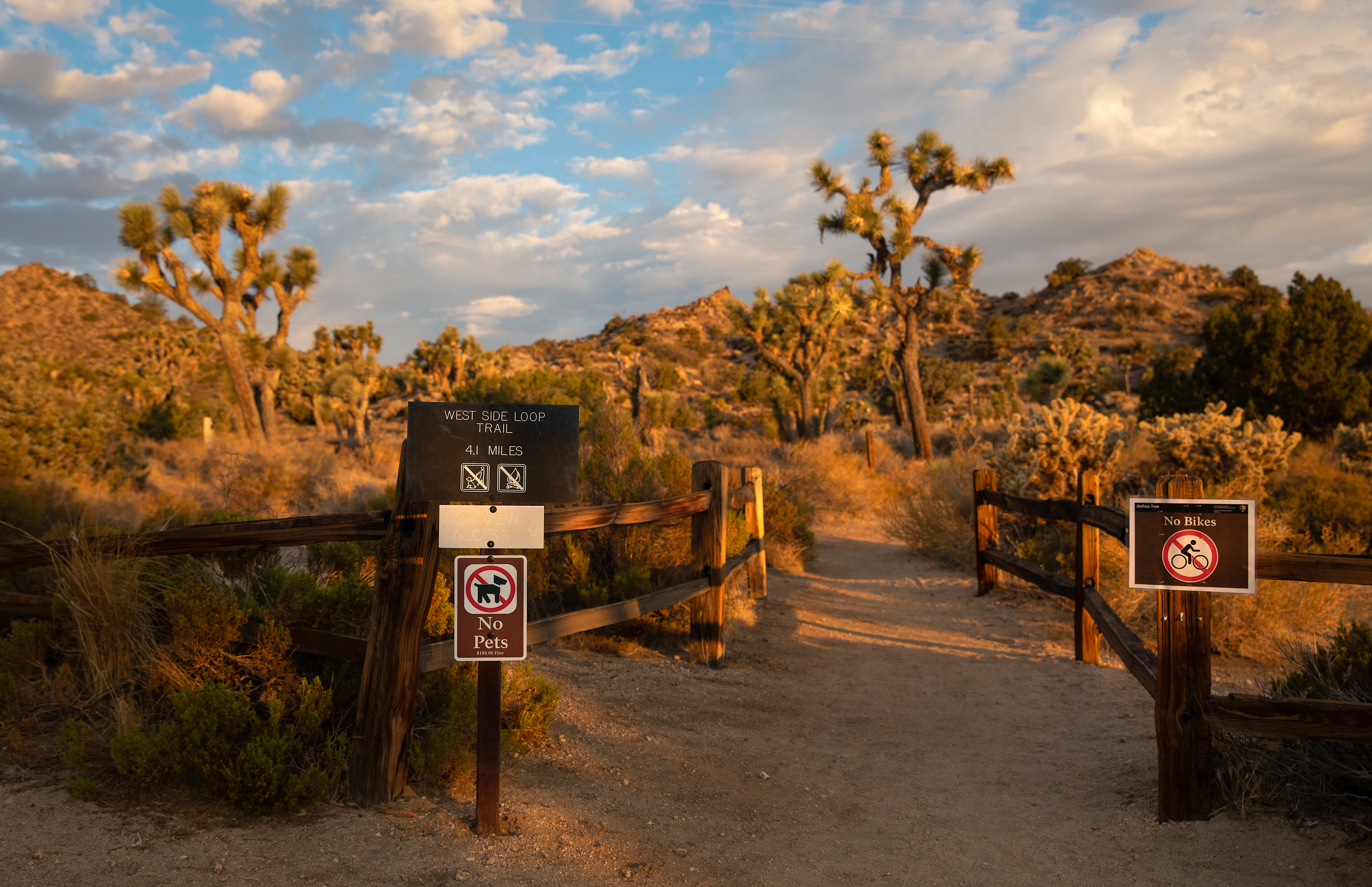
Start from the Black Rock Campground trailhead and hike the loop counterclockwise — you'll gain elevation on the shadier north-facing slopes and descend the sun-exposed wash, which is far more pleasant than climbing it in full sun.

Trail Tip

The trail junction network around Black Rock is genuinely confusing, with unmarked social trails branching off constantly. Download the NPS trail map to your phone before you lose service, or better yet, load the GPX track into a hiking app like AllTrails or Gaia.

Trail Tip

The spur trail to Warren Peak adds roughly two miles roundtrip but delivers the best 360-degree panorama in the entire park — if you're already on the ridgeline, skipping it would be a mistake. Look for the unmarked junction about halfway through the loop.
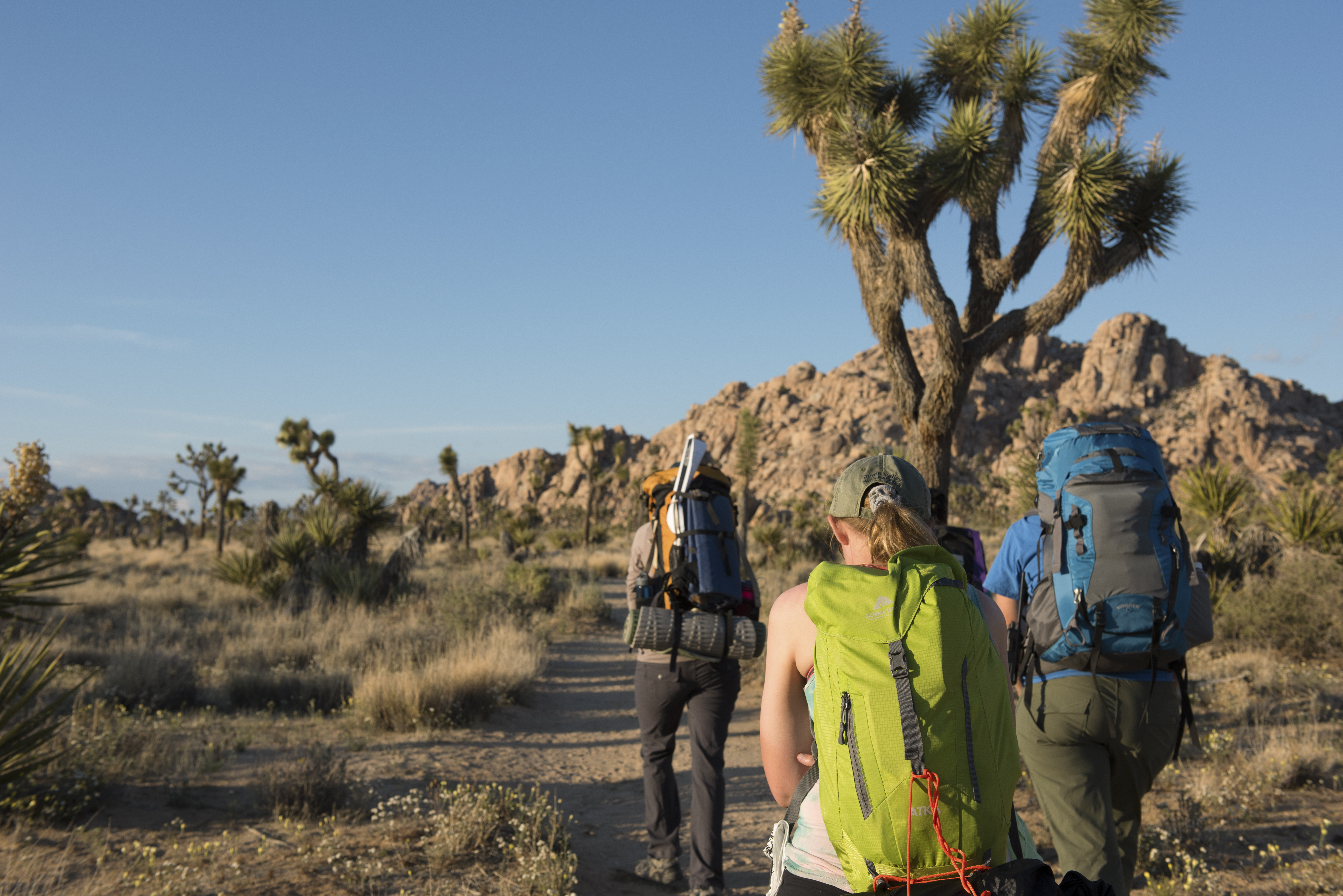
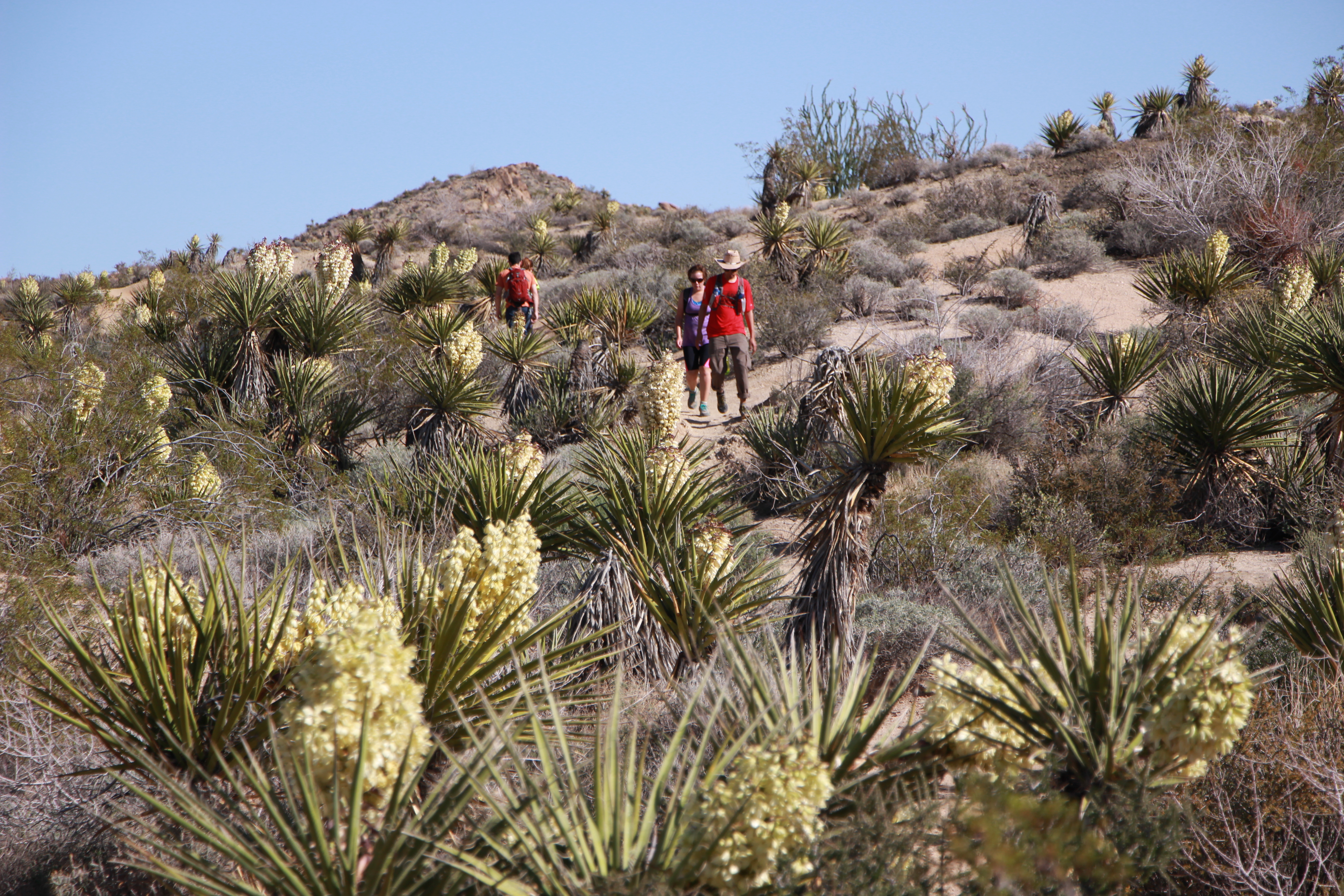
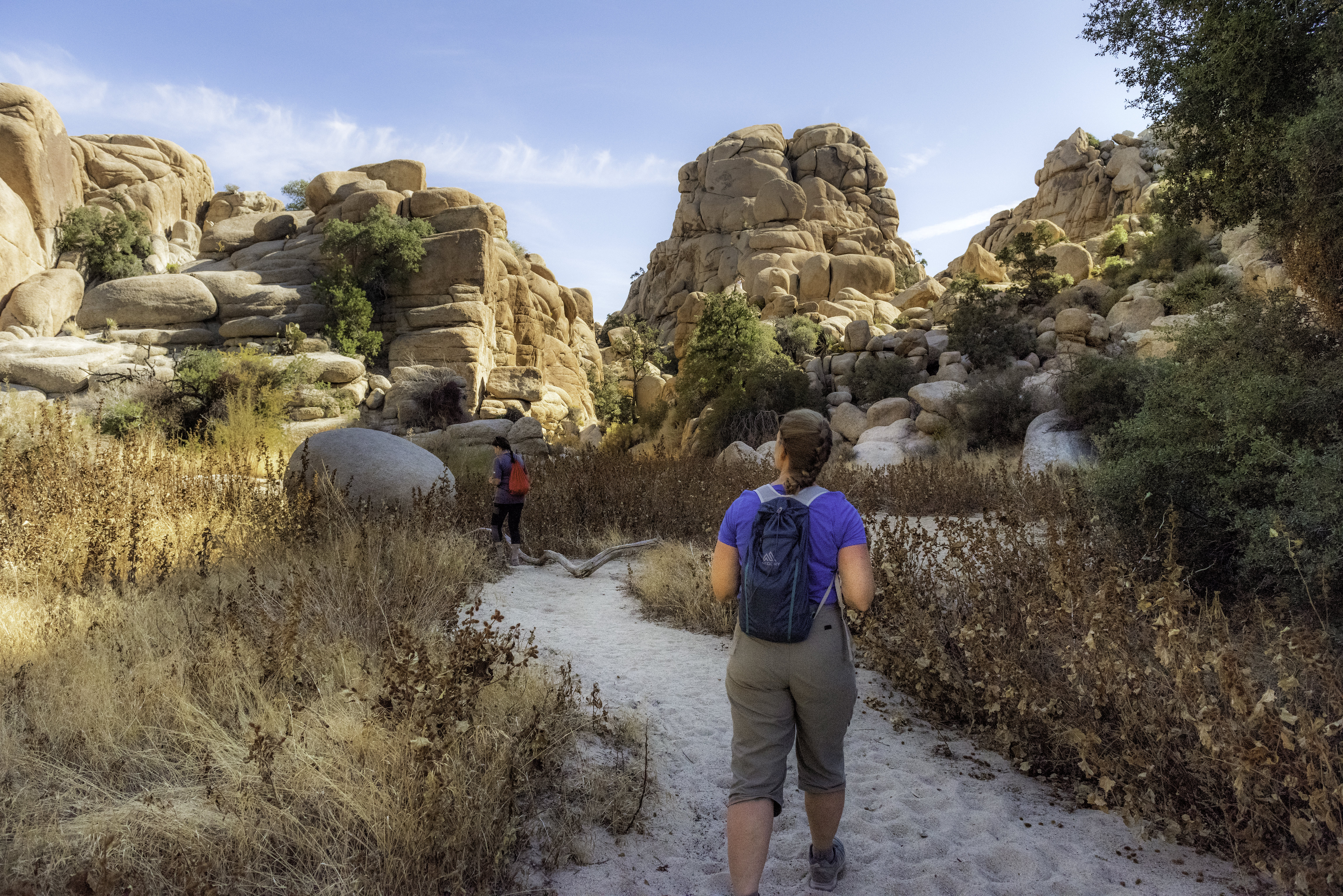
Photos

Getting There

More Trails in Joshua Tree

Explore Joshua Tree National Park

9 campgrounds, 78 trails, 3.0M annual visitors

View Park Guide