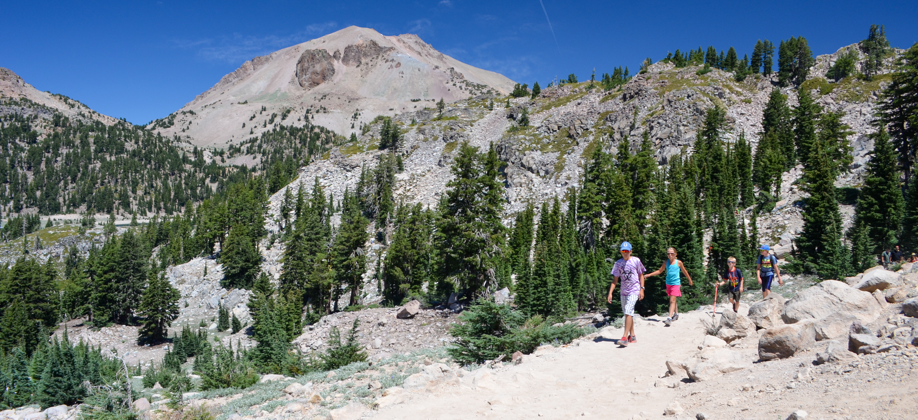
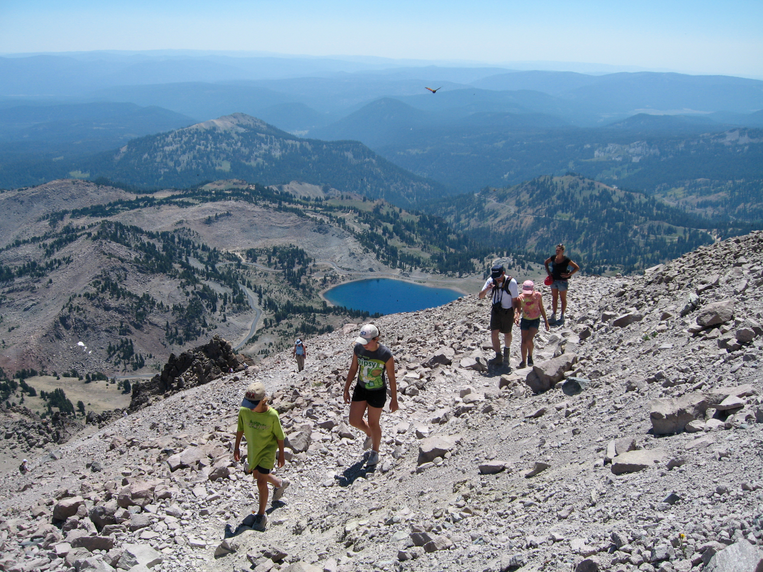
Walk Devastated Area Interpretive Trail
What to Expect
Safety Advisory
At 6,400 feet, visitors coming from sea level may notice the altitude — take it slow if you feel lightheaded, even though the trail is short and flat.
Snow can linger on this trail well into June despite its easy grade, and the park highway to reach it typically doesn't open until late May or early June — check current road conditions before driving up.
Trail Details
Pro Tips
Pair this with the Lassen Peak summit trail or Bumpass Hell for a full volcano day — it works perfectly as a warm-up or cooldown stop since the parking area is right on the main park highway.
Read every single interpretive sign. They include actual photographs from the 1915 eruption alongside what you're seeing now, and the before-and-after effect is genuinely striking — don't rush through treating this like a rest stop.
Late afternoon light hits the boulder field beautifully and casts long shadows that emphasize the scale of the debris — photographers should time their visit for the last two hours before sunset when the volcanic rocks take on a warm, almost orange glow.
Photos
 NPS
NPS