Carbon Glacier Trail
What to Expect
Safety Advisory
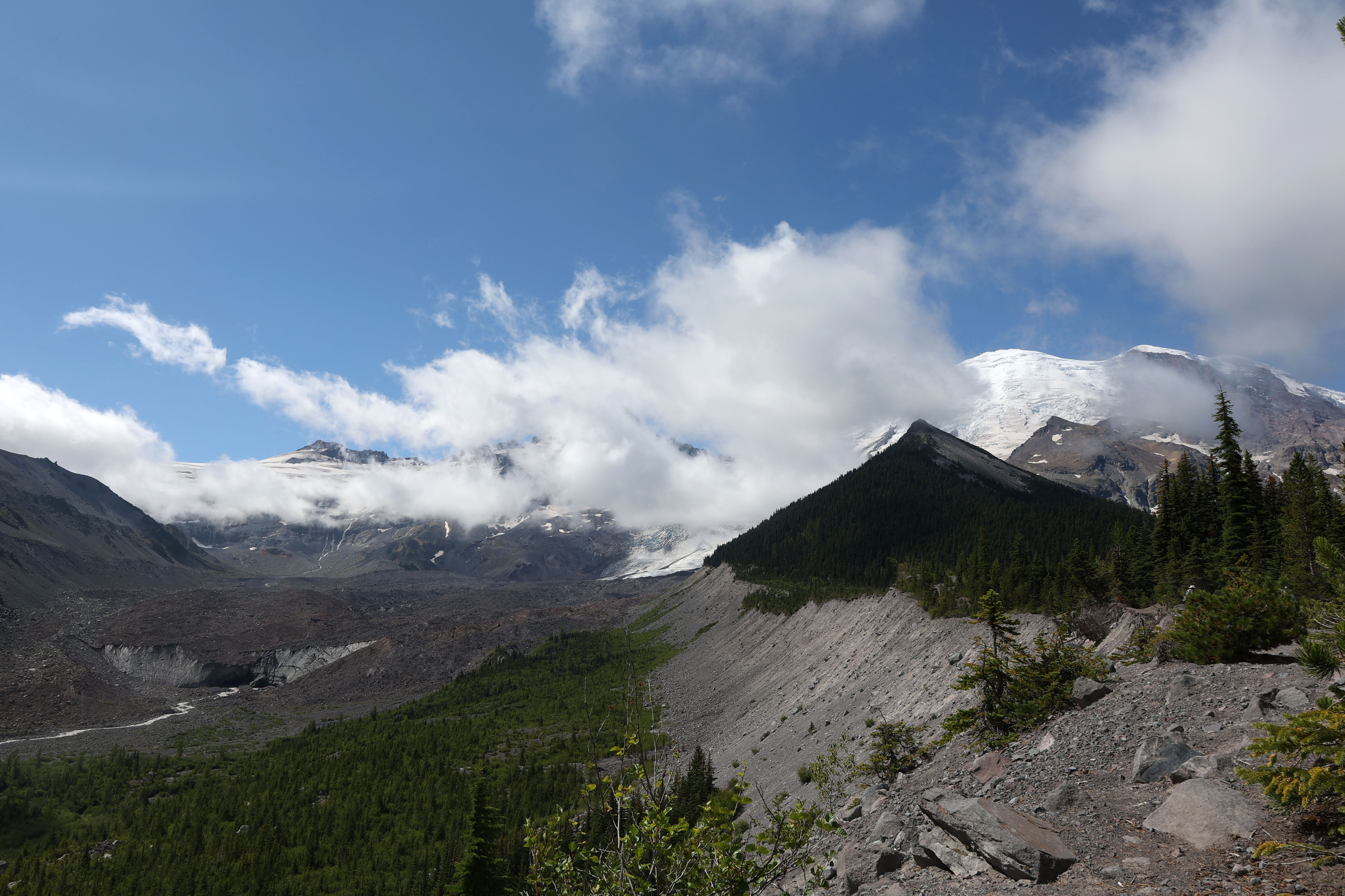
Do not walk onto Carbon Glacier — the debris-covered surface hides deep crevasses and unstable ice. Rockfall from the glacier terminus is common and unpredictable, so keep your distance from the ice face.
The Carbon River is prone to sudden flooding from glacial outburst events. If the river rises rapidly or turns an unusually dark gray, move to higher ground immediately and do not attempt to cross any washouts.
Trail Details
Pro Tips
The Carbon River Road washed out years ago and is now part of the trail — add roughly five miles of flat, easy walking each way along the old roadbed before you even reach the trailhead proper. Factor that into your day.
Bring trekking poles for the final approach to the glacier viewpoint, where the trail gets rough with loose rock and root tangles. Waterproof boots are non-negotiable — this is the wettest corner of Rainier and the trail stays muddy even in August.
The glacier snout is best photographed in late afternoon when the low sun catches the blue ice peeking through the dark debris layer. Walk past the obvious viewpoint and scramble carefully along the moraine for a more dramatic angle upstream.
More Trails in Mount Rainier
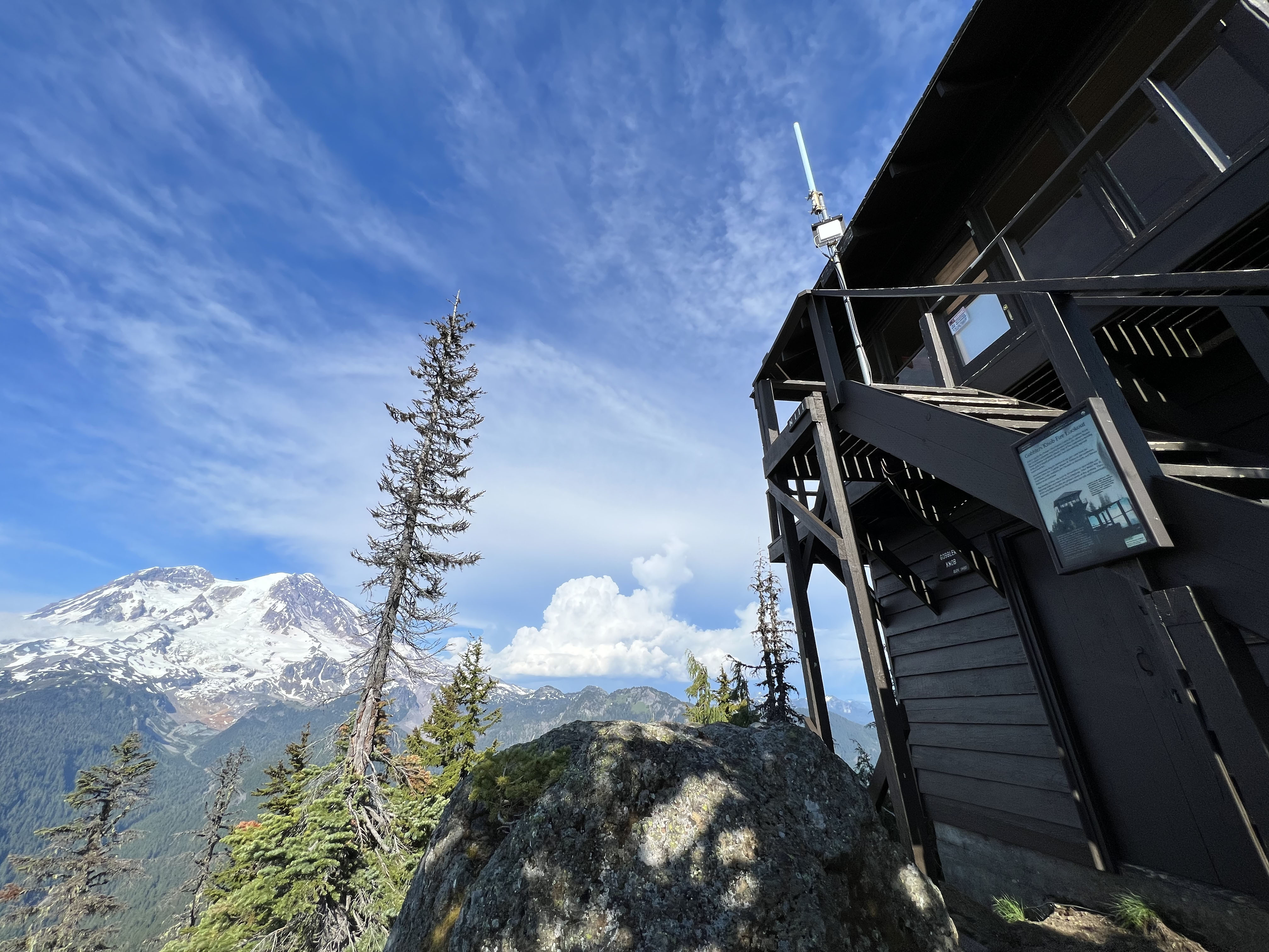
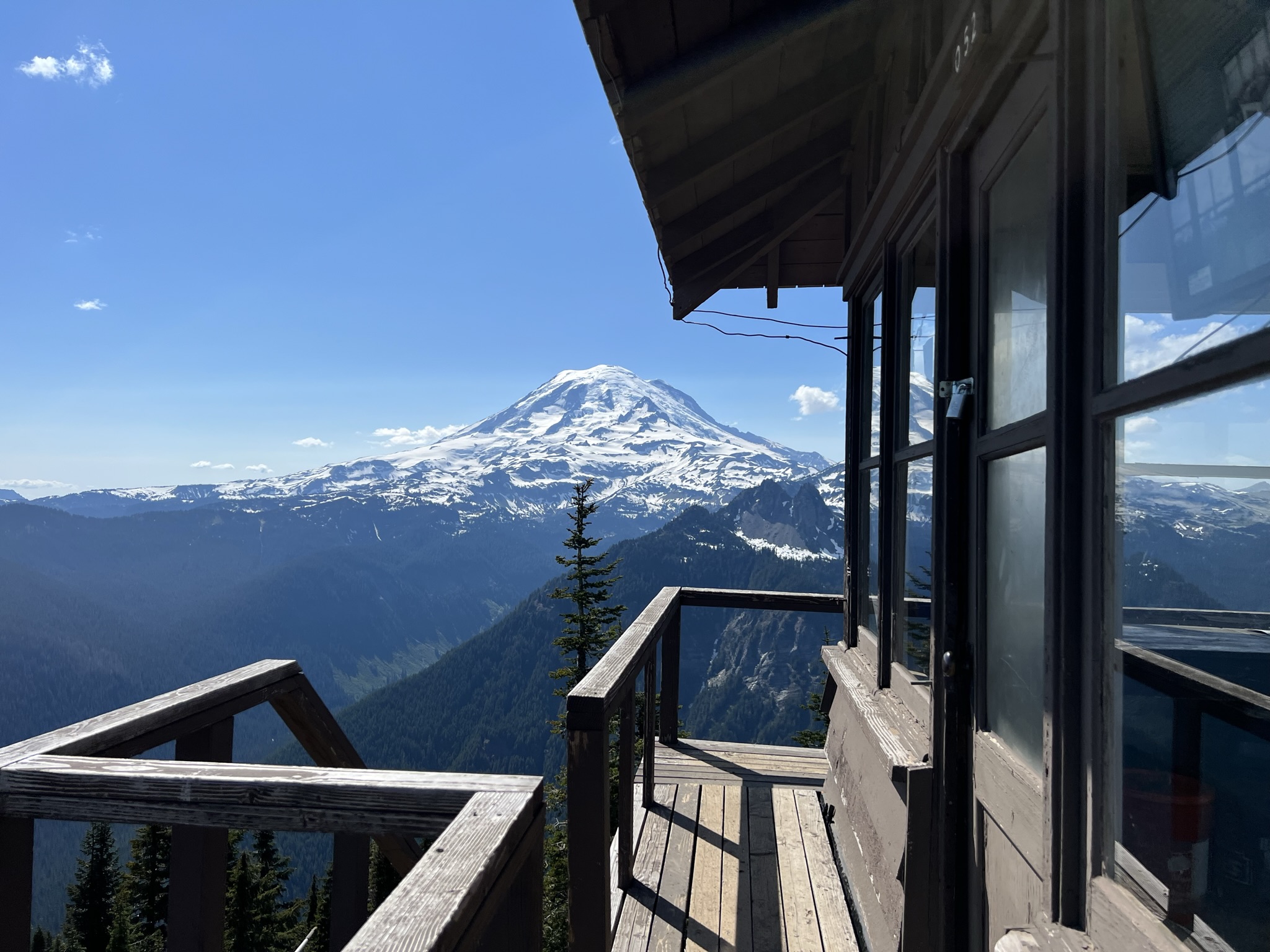
Hike to Gobblers Knob Fire Lookout
Hike to Shriner Peak Fire Lookout
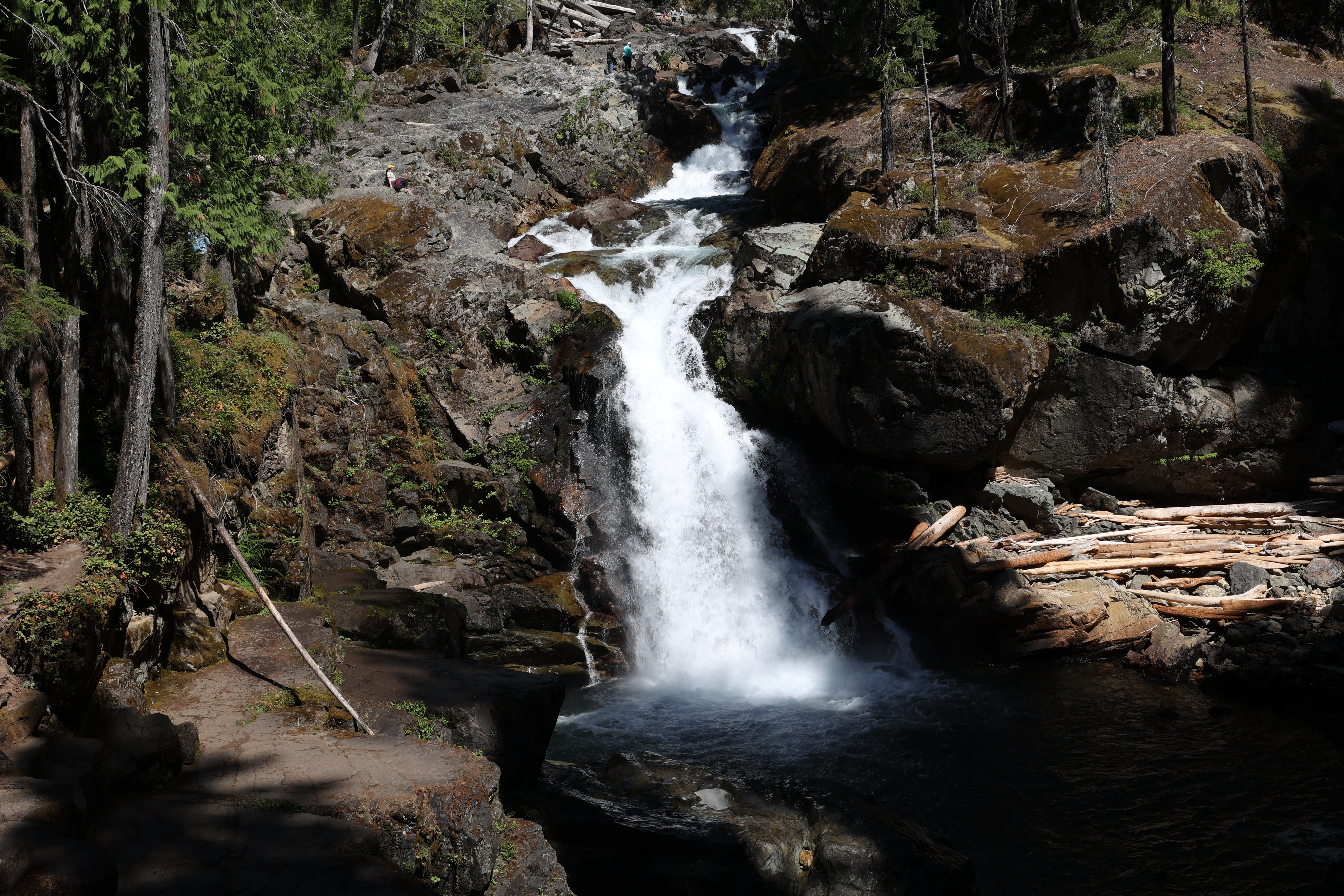
Hike to Silver Falls