Emerald Ridge Trail
What to Expect
Safety Advisory
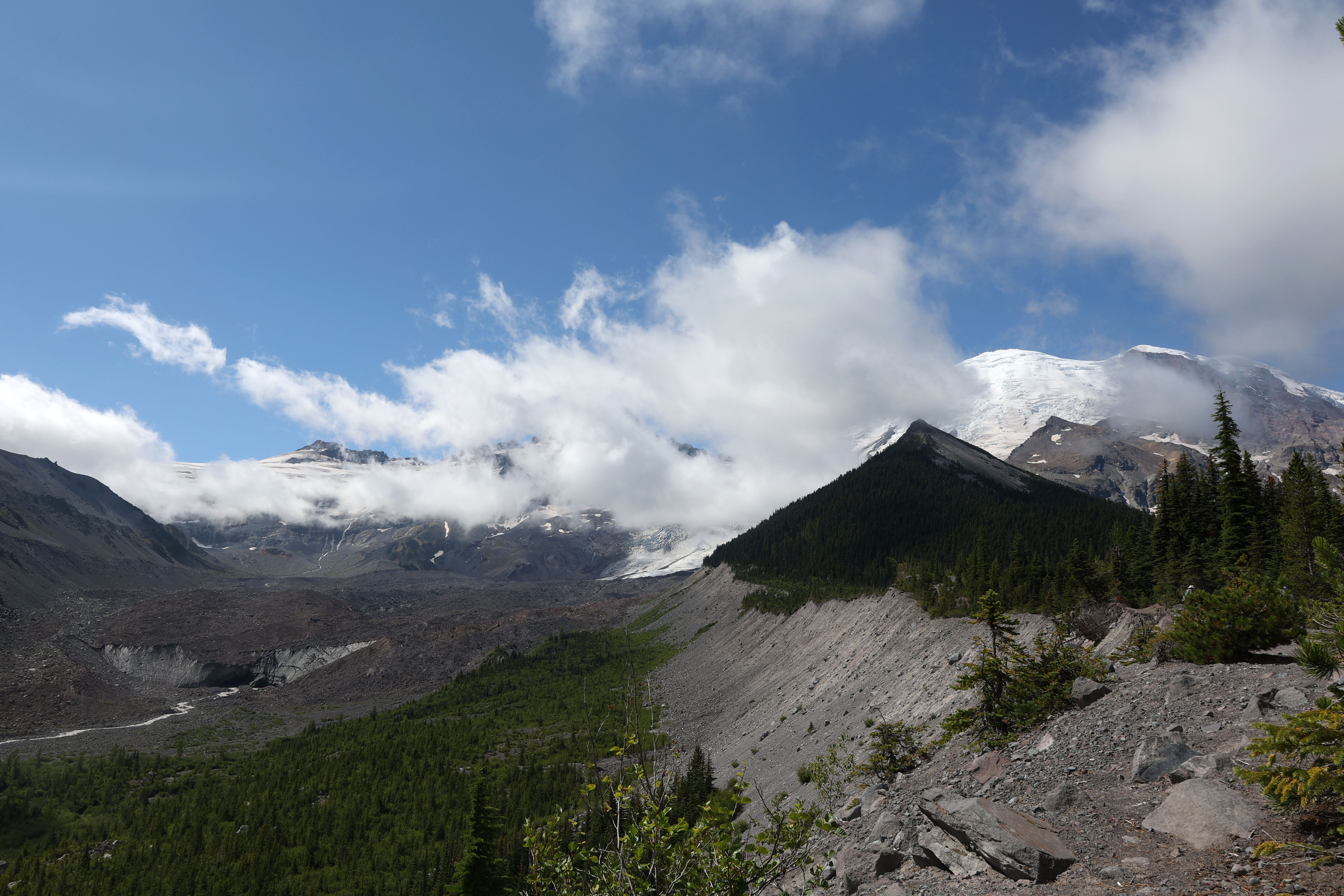
Tahoma Creek is prone to glacial outburst floods (jokulhlaups) that can wash out bridges and trails with little warning. Check current trail conditions with the Longmire Wilderness Information Center before heading out — closures happen multiple times per season.
Snow lingers on the upper ridge well into July most years, and the final approach can involve exposed scrambling on loose volcanic rock. Microspikes and solid route-finding skills are essential before mid-August.
This trail is long enough that afternoon thunderstorms are a real concern in summer. The ridge offers zero shelter and you're the tallest thing up there — turn around if you see cumulonimbus building to the south.
Trail Details
Pro Tips
Start before 7 AM from Longmire to ensure you're on the ridge by midday, when clouds typically roll in and swallow the glacier views. The parking area near the Wonderland trailhead fills fast on summer weekends.
Bring trekking poles — the Tahoma Creek section involves loose glacial moraine that shifts underfoot, and your knees will thank you on the long descent back. Filter water from streams along the way rather than carrying your full supply from the car.
The best photo position on Emerald Ridge is about a quarter mile past where most hikers stop and turn around. Push to the high point where the ridge narrows and you get an unobstructed panorama of both Tahoma Glacier and the South Puyallup River valley below.
More Trails in Mount Rainier
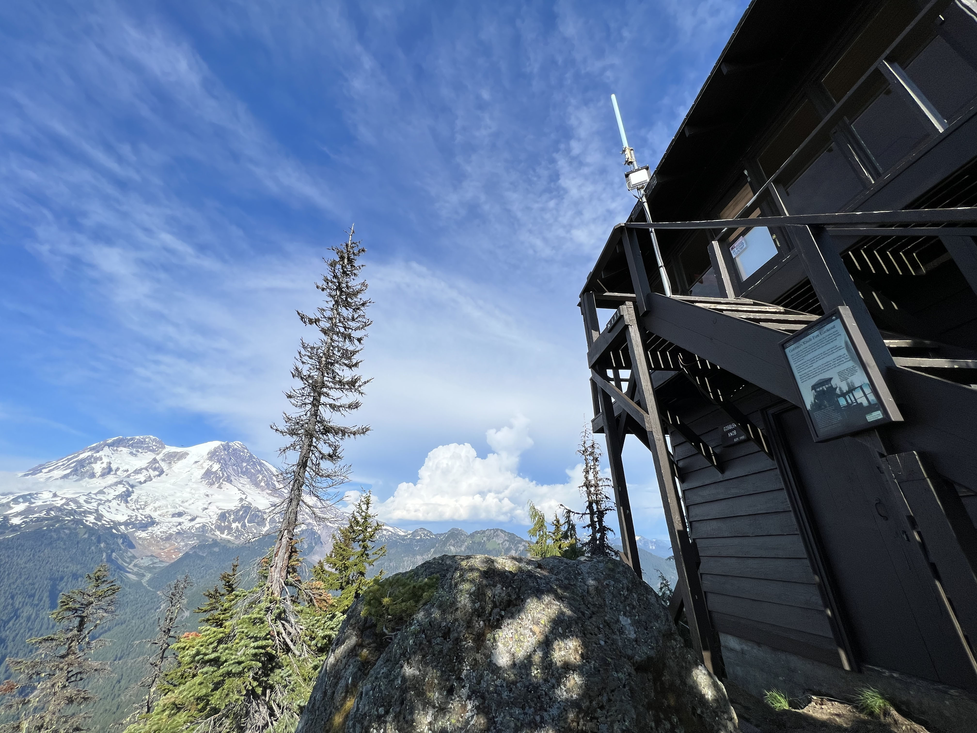
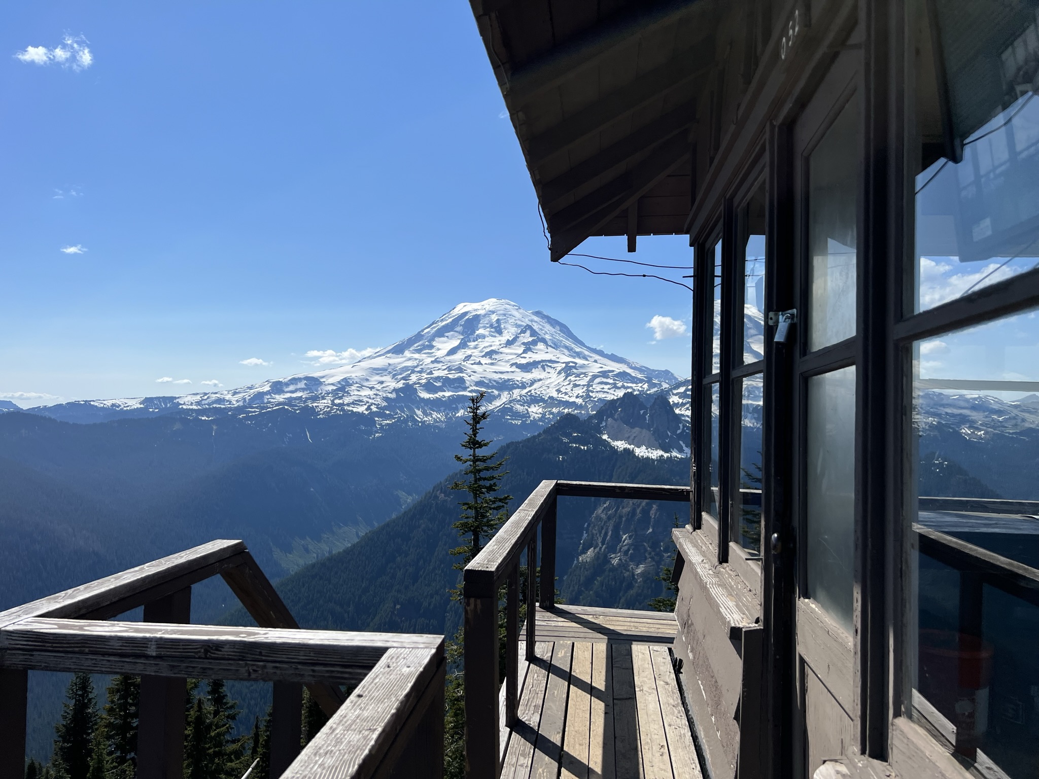
Hike to Gobblers Knob Fire Lookout
Hike to Shriner Peak Fire Lookout
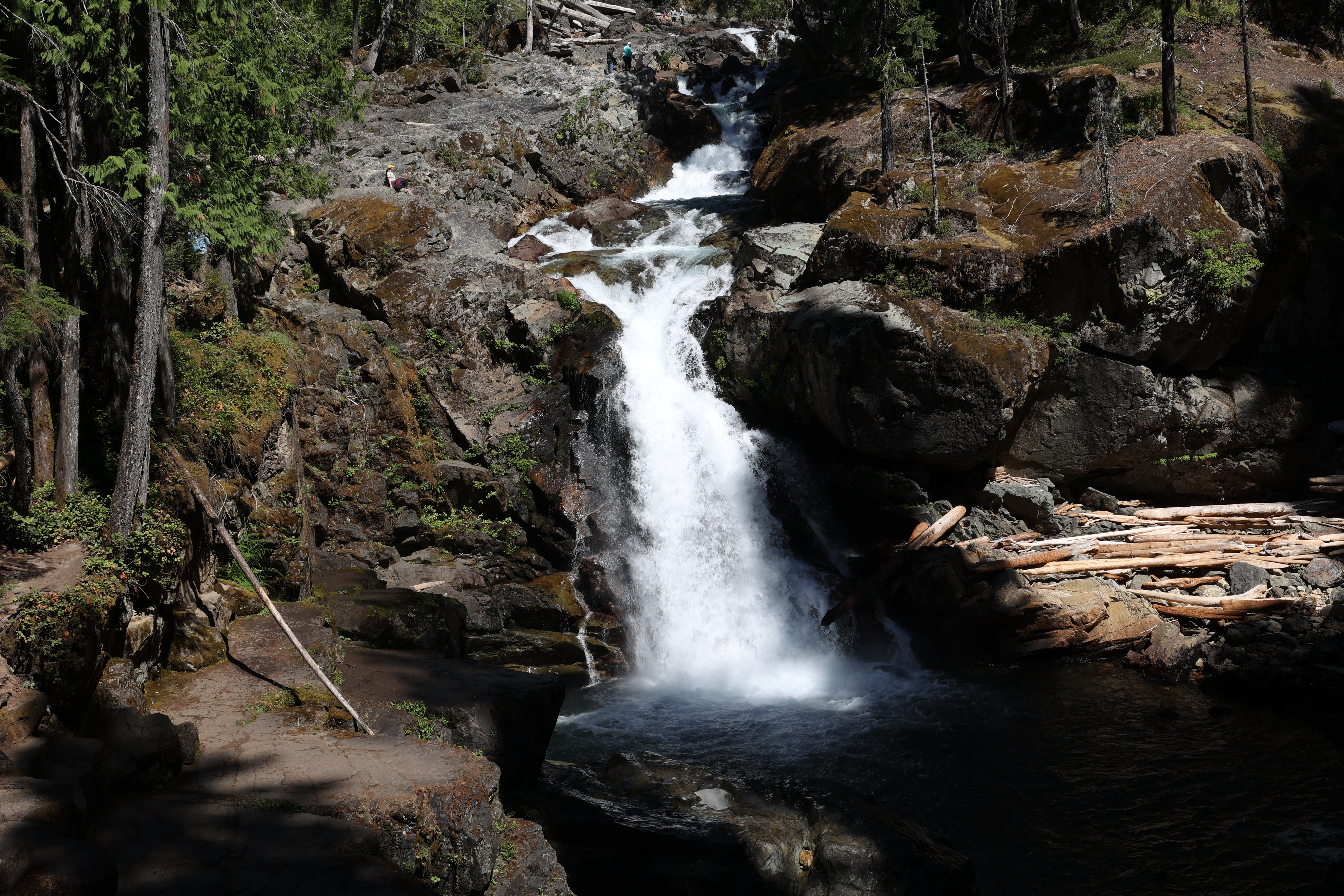
Hike to Silver Falls