Golden Lakes Trail
What to Expect
Safety Advisory
Snow can linger on this trail well into July, making route-finding difficult on the higher sections. Bring a GPS device or downloaded topo maps — trail markers can be buried under snowpack.
Stream crossings run high and fast during snowmelt. Trekking poles and water shoes earn their weight on this trail, especially in June and early July.
This is bear country and you're far from help. Carry bear spray, hang your food properly, and let someone know your itinerary — cell service is nonexistent on this route.
Trail Details
Pro Tips
Access via Mowich Lake Road, which is unpaved and rough — high clearance helps, and the road typically doesn't open until late June or July. Check road status with the Carbon River ranger station before driving out.
Carry a water filter and plan your water stops around the creek crossings and the lakes themselves — there are long dry stretches on the ridgeline sections between water sources.
The Golden Lakes basin is a designated backcountry camp area. If you turn this into an overnight, you'll halve the daily mileage and actually have time to explore the upper lake, which sits slightly higher and sees almost no foot traffic.
More Trails in Mount Rainier
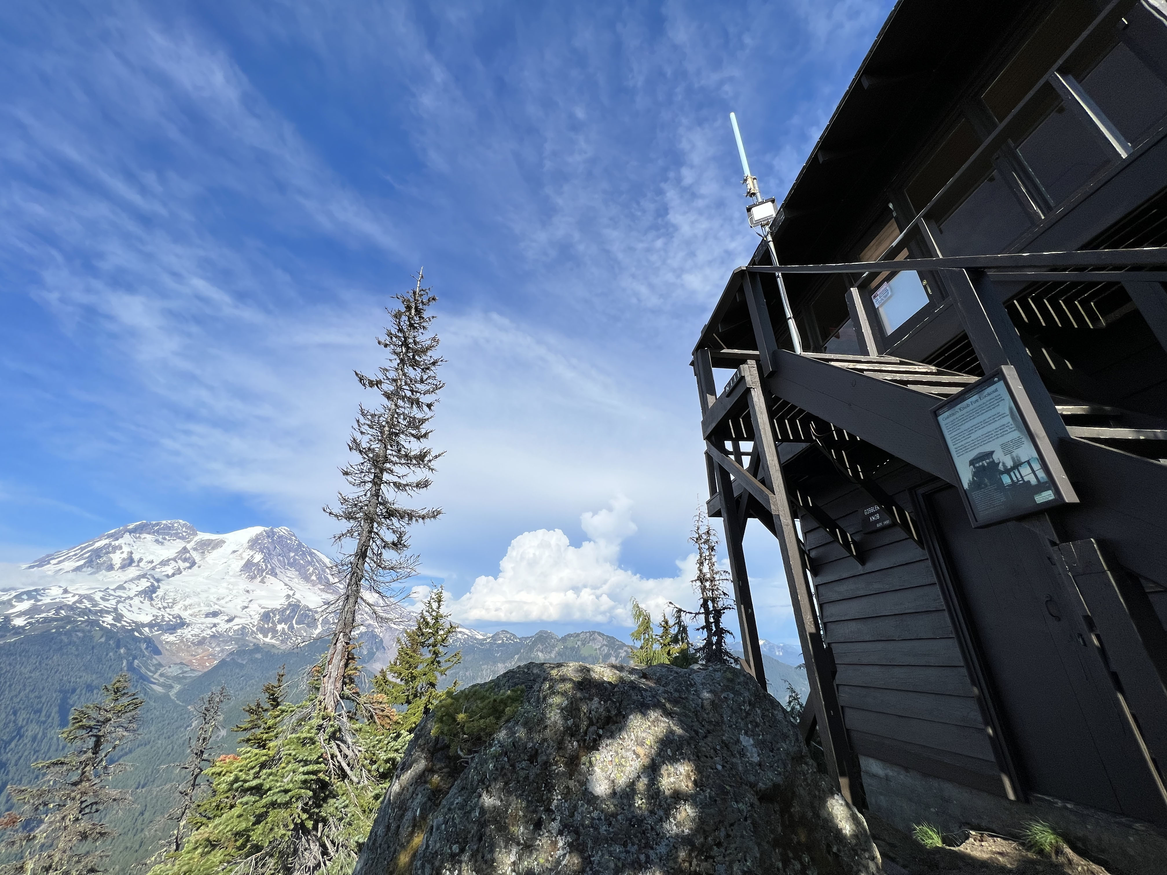
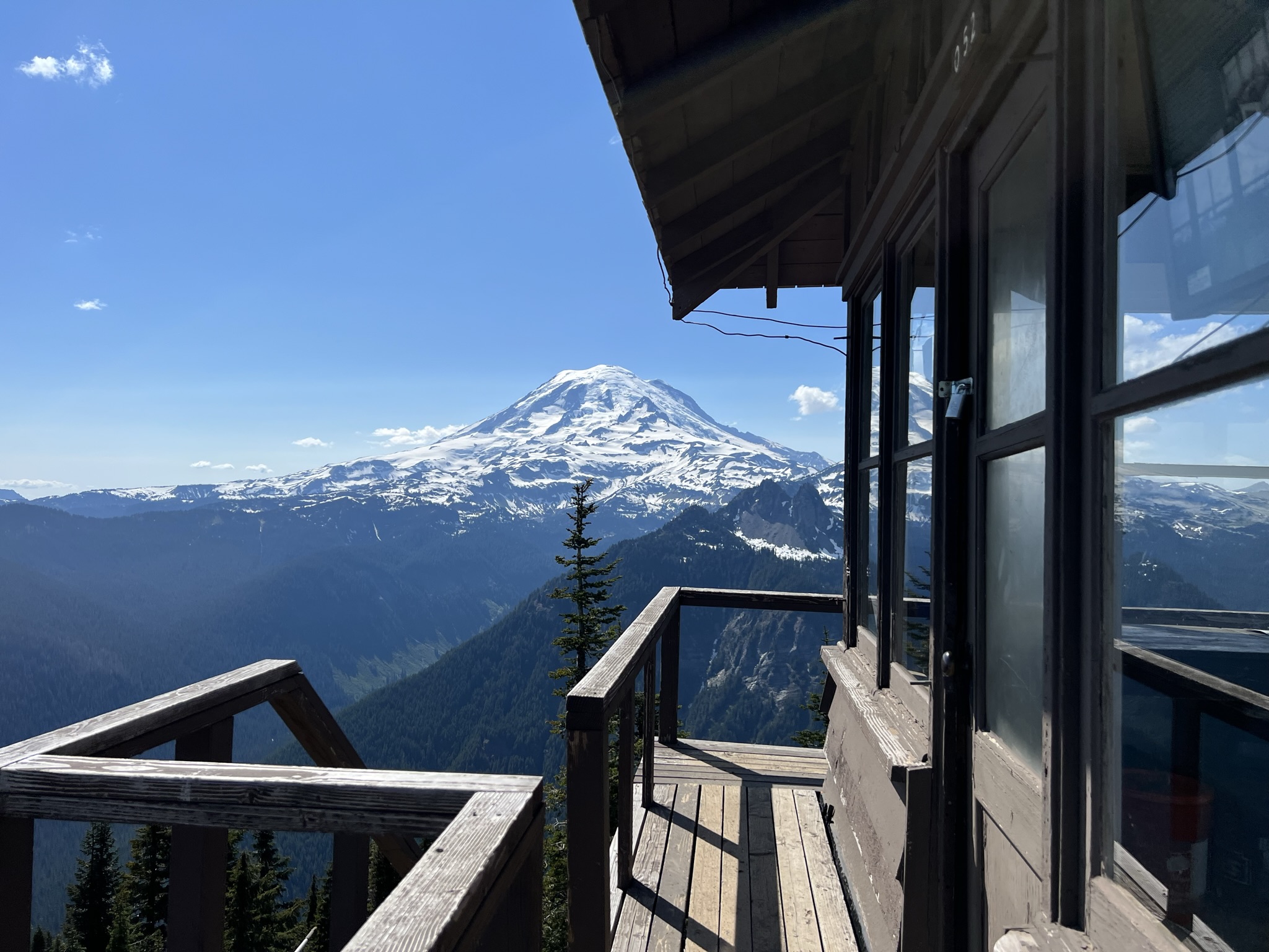
Hike to Gobblers Knob Fire Lookout
Hike to Shriner Peak Fire Lookout
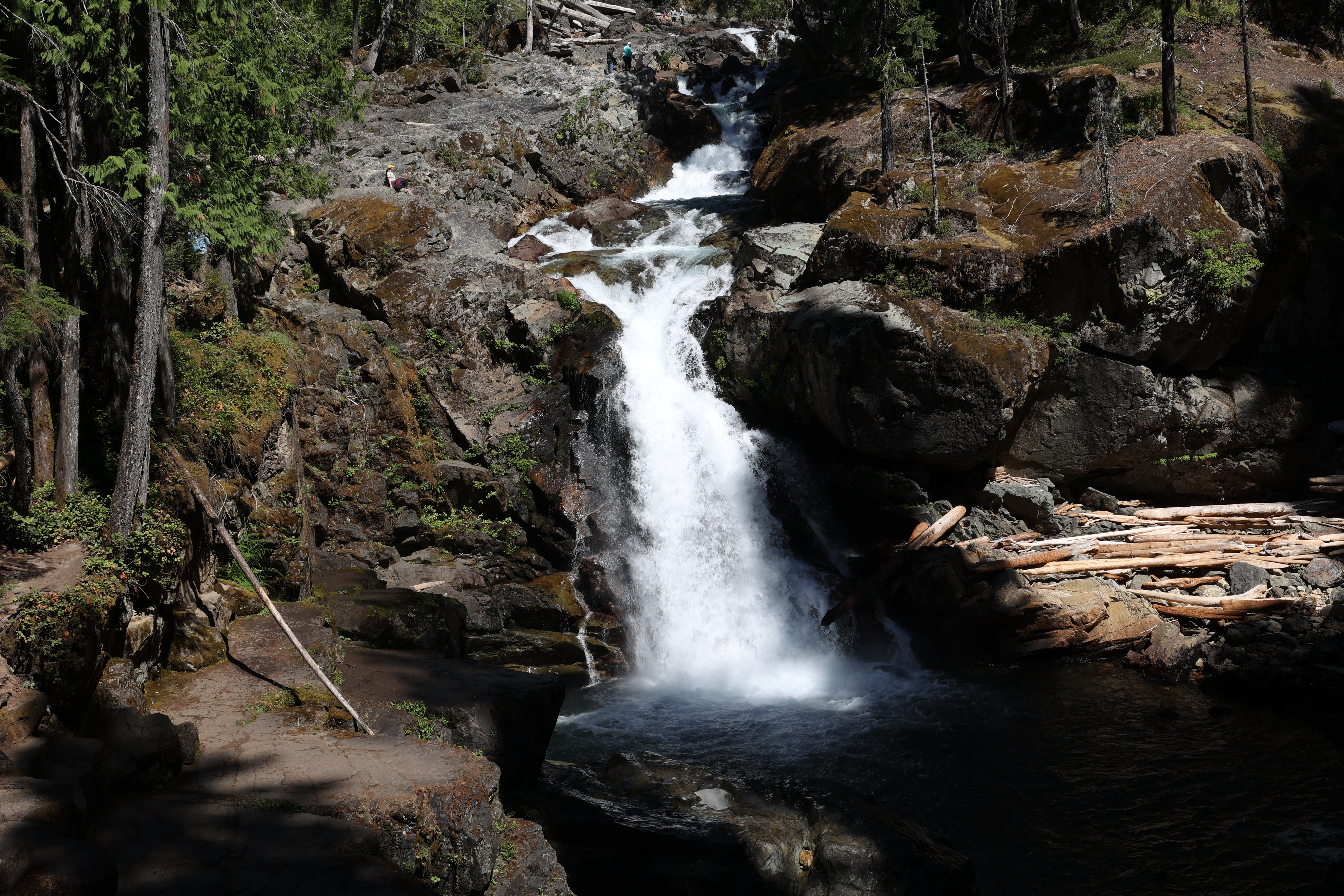
Hike to Silver Falls