Lake James Trail
What to Expect
Safety Advisory
River crossings in this drainage can be dangerous during snowmelt or after heavy rain. The Carbon River and its tributaries swell fast, and what was ankle-deep in the morning can be thigh-deep by afternoon. Trekking poles and unbuckled hip belts are essential at crossings.
This area sees far fewer hikers than the Paradise or Sunrise sides of Rainier, which means if something goes wrong, help is a long way off. Carry a PLB or satellite communicator — cell service is nonexistent.
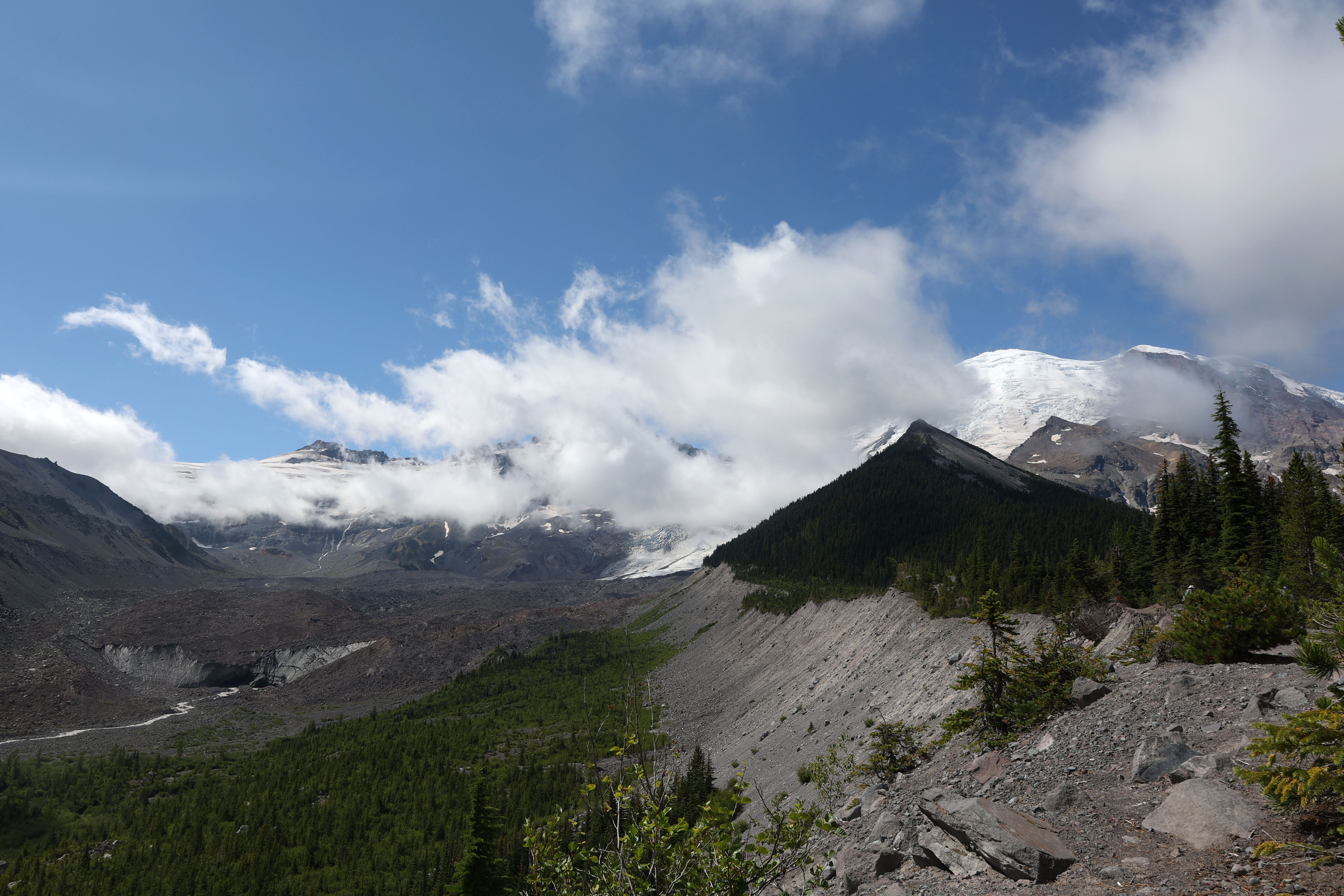
Snow can linger on upper sections well into July. Route-finding becomes significantly harder when the trail disappears under snowfields, and the terrain above the lake is steep enough that a slip on hard snow has real consequences.
Trail Details
Pro Tips
Plan this as an overnight backpacking trip rather than a day hike. At 27 miles round trip through rough terrain, you're looking at a punishing day if you try to bang it out in one push. Camp near the lake and actually enjoy what you worked so hard to reach.
The Carbon River Road has a history of washouts and closures — check the NPS road status page before you drive out. Getting turned around at the trailhead after a long approach is a special kind of frustration.
Bring a water filter and top off at every creek crossing. The Carbon River drainage has reliable water sources, but spacing between them can stretch out on the upper sections, especially late in the season when smaller streams dry up.
More Trails in Mount Rainier
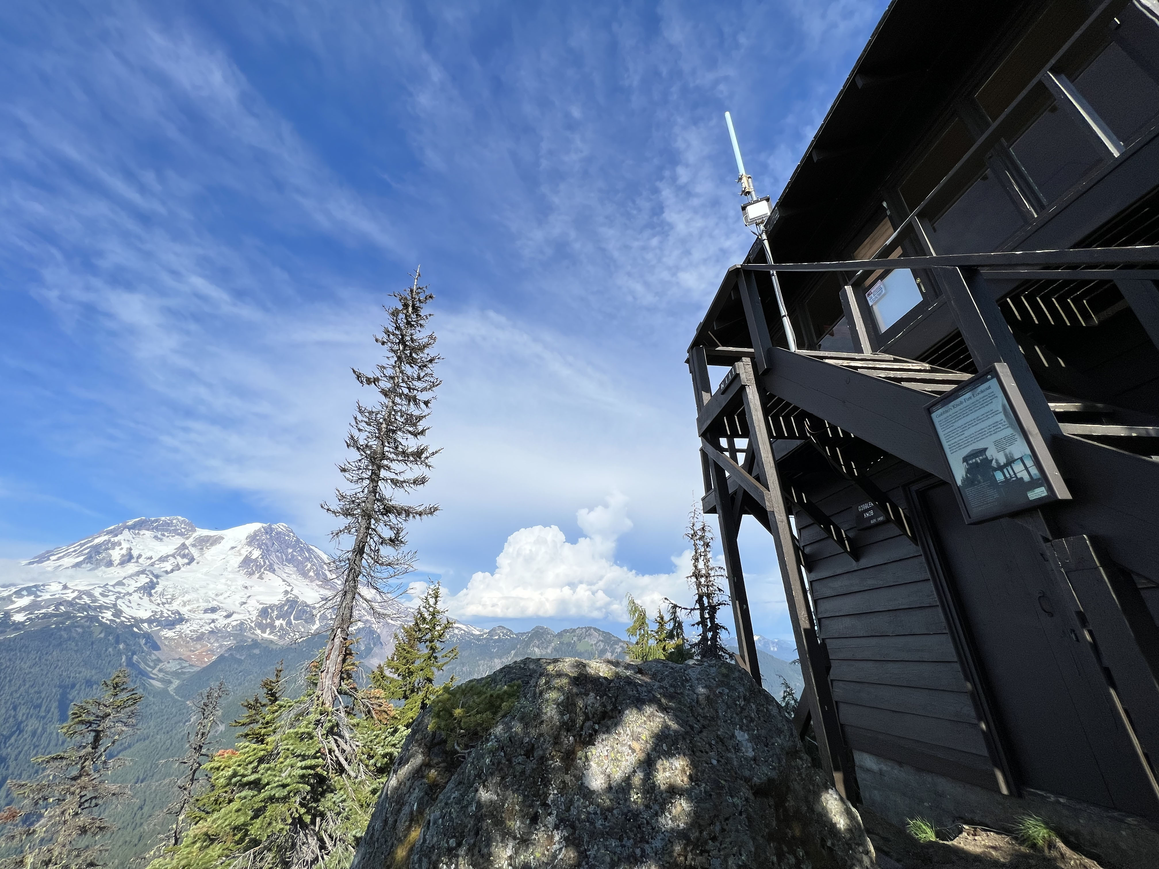
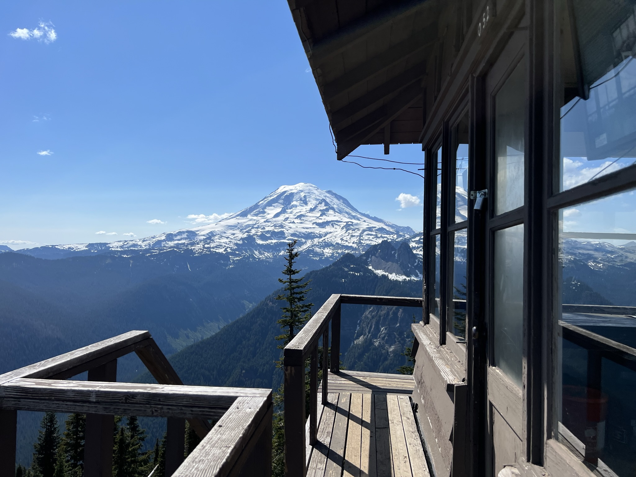
Hike to Gobblers Knob Fire Lookout
Hike to Shriner Peak Fire Lookout
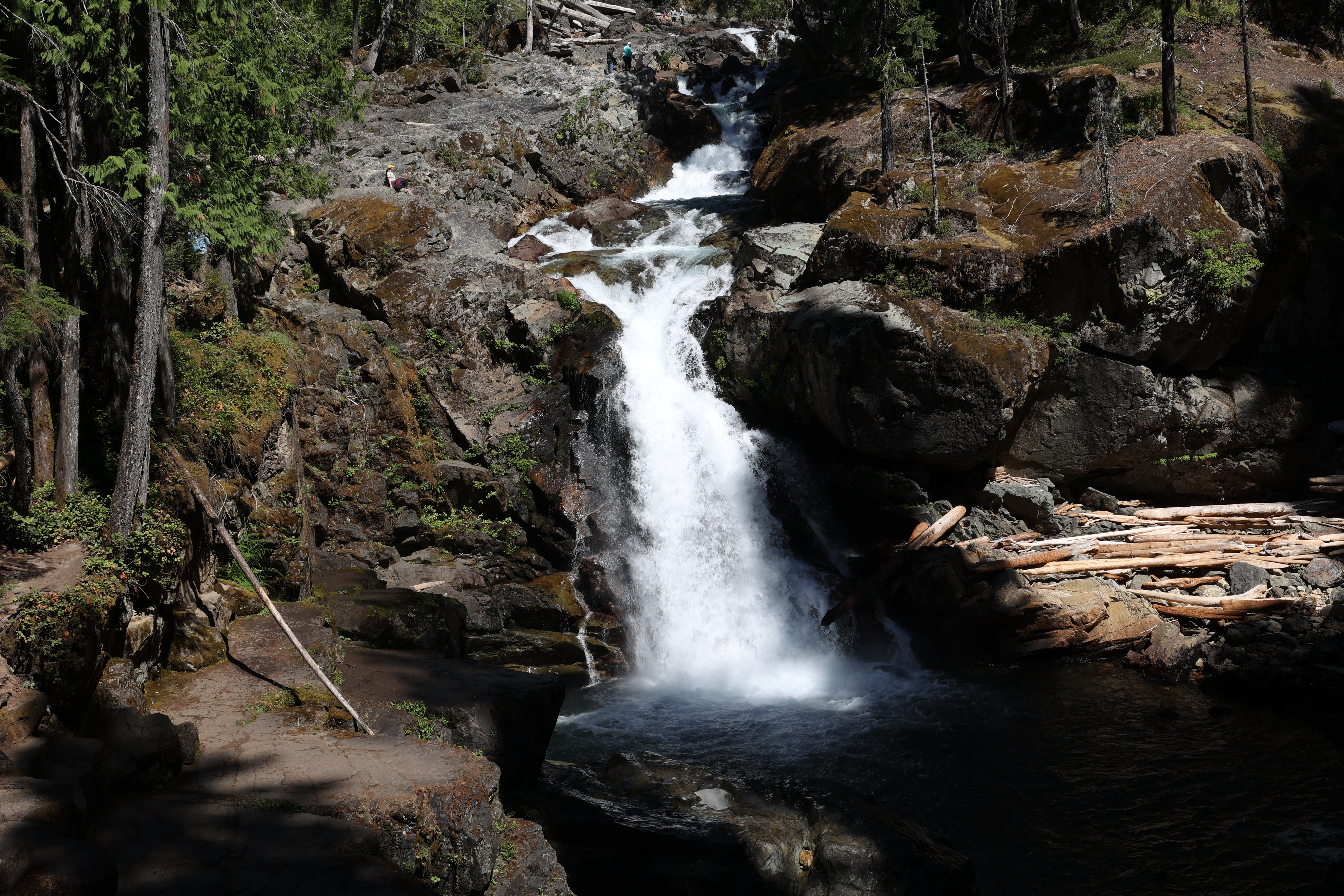
Hike to Silver Falls