Laughingwater Creek Trail
What to Expect
Safety Advisory
Creek crossings can be tricky in early season when snowmelt swells the water — check with the Ohanapecosh Visitor Center for current trail conditions before heading out.
The trail is remote enough that cell service is nonexistent. Let someone know your plan and expected return time, especially if hiking solo.
Trail Details
Pro Tips
Start early from the Ohanapecosh Campground area to claim trailhead parking — the lot is small and shared with campers, and by mid-morning on summer weekends it fills up.
Bring trekking poles for the return trip. The trail's undulations feel gentle heading out but add up over twelve miles, and your knees will thank you on the way back.
The footbridges over side creeks about two miles in make excellent lunch spots — flat rocks along the water give you a place to sit and filter water if you brought a pump.
More Trails in Mount Rainier
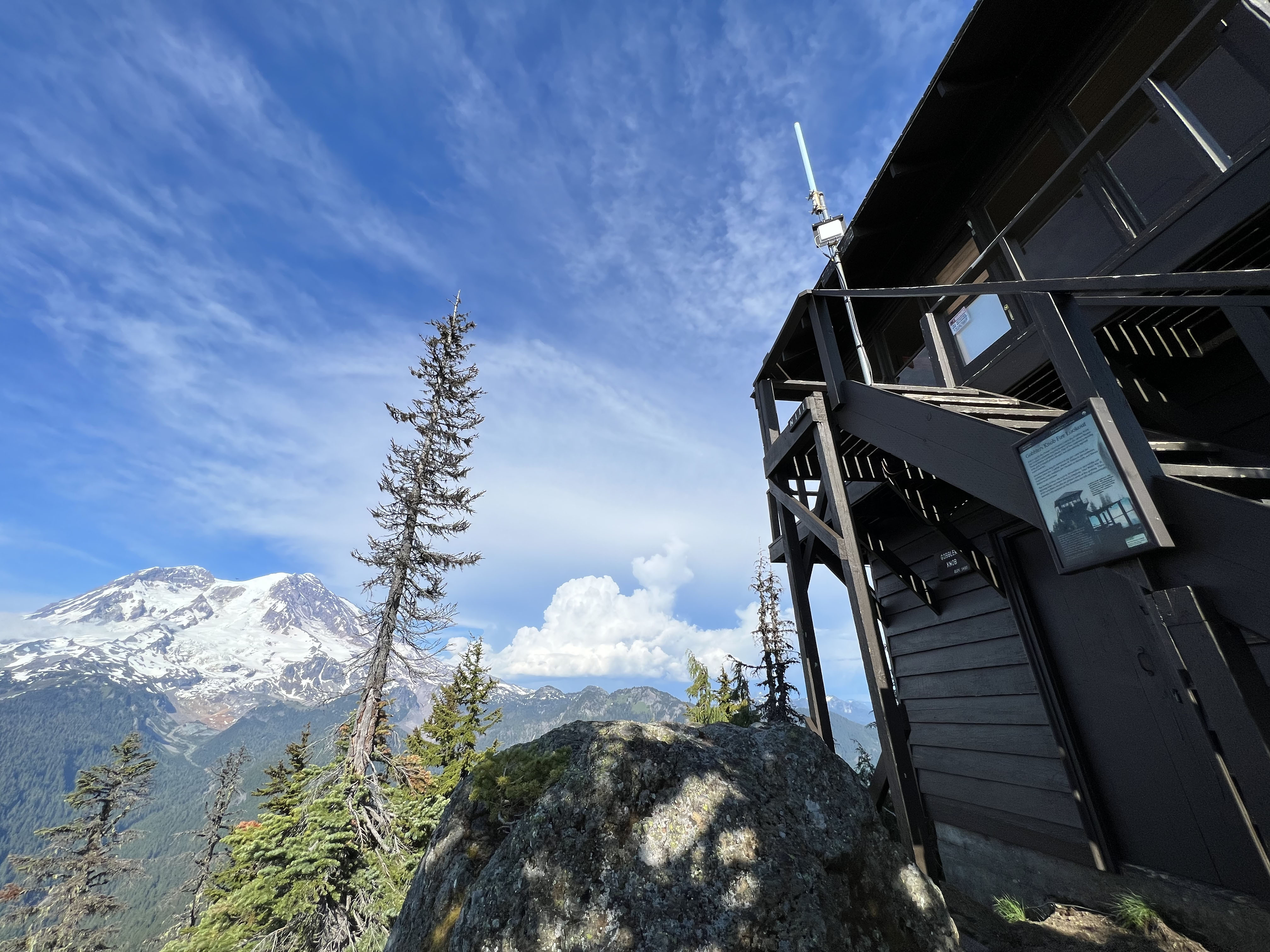
Hike to Gobblers Knob Fire Lookout
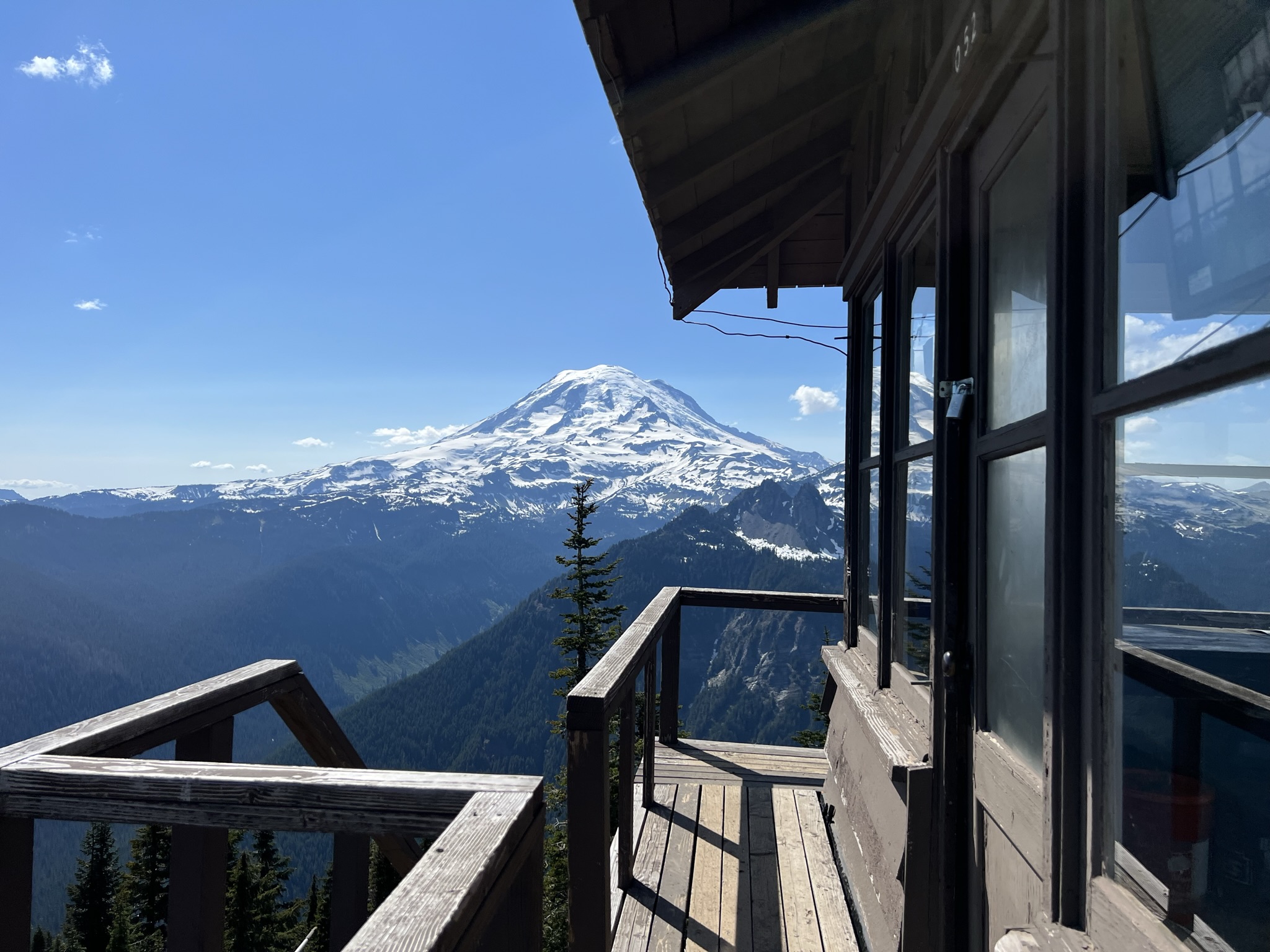
Hike to Shriner Peak Fire Lookout
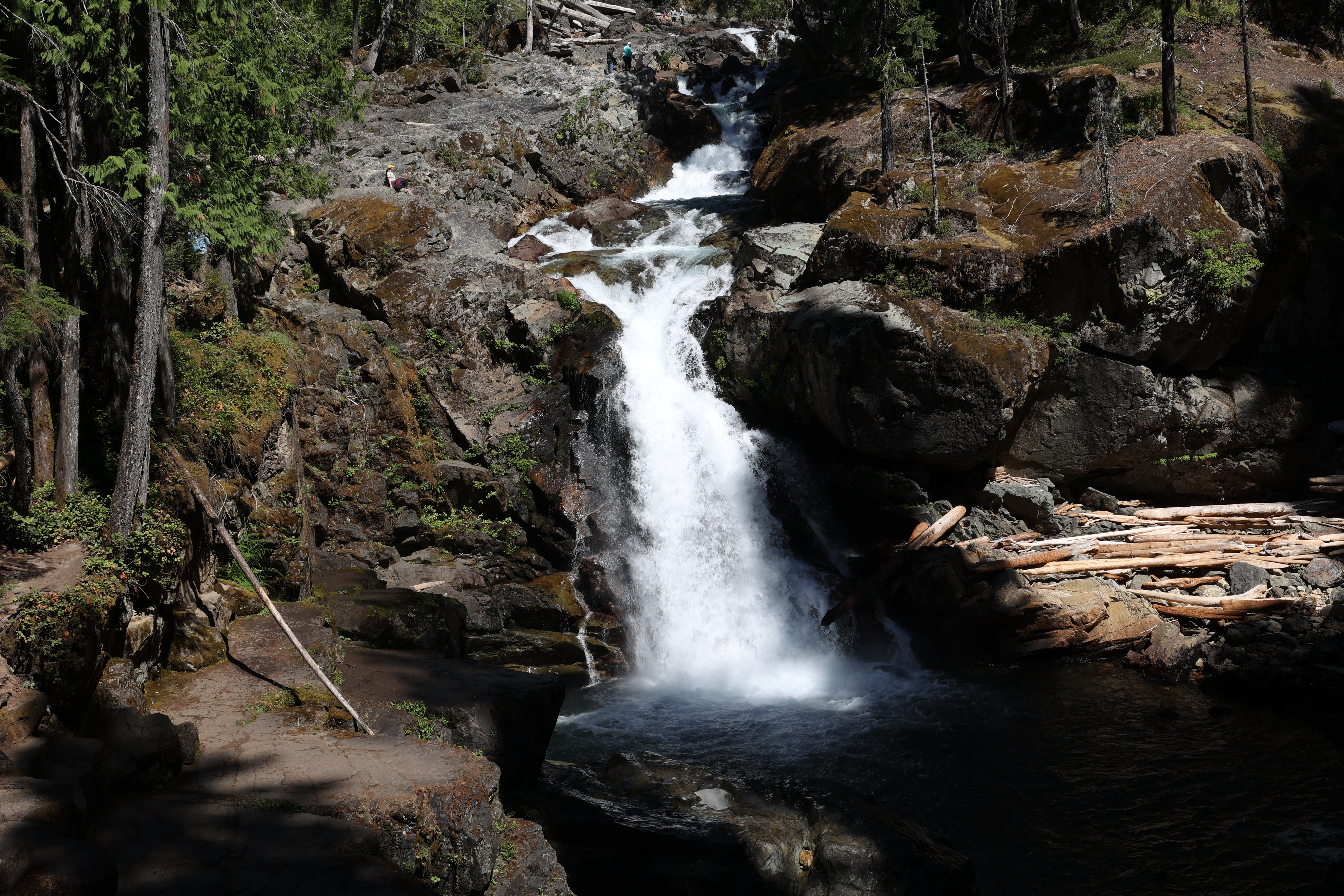
Hike to Silver Falls