Muir Snowfield (to Camp Muir)
What to Expect
Safety Advisory
Whiteout conditions can develop with almost no warning above 8,000 feet, turning the featureless snowfield into a disorienting void. Carry a compass and GPS — several rescues each summer involve parties who lost the route in fog and wandered toward crevasse fields.
Altitude sickness is a real concern on this climb. You're gaining nearly a mile of elevation from the parking lot, and most hikers coming from sea level will feel the effects above 9,000 feet. Turn around if you develop a persistent headache, nausea, or dizziness.
Sunburn and snow blindness can be severe — the snowfield reflects UV radiation from every direction. Wear glacier glasses or high-quality sunglasses with side shields, and apply sunscreen to the underside of your chin and nose.
Trail Details
Pro Tips
Start before 7 AM — the snowfield turns into a solar oven by midday, and afternoon clouds routinely obscure all navigation landmarks. Early starters also get firmer snow for better footing.
Bring an ice axe and know how to self-arrest, even in midsummer. The slope angle above 8,500 feet is steep enough that a slip on hard morning snow can send you sliding hundreds of feet. Trekking poles alone won't save you.
Use the rock outcrop known as Anvil Rock at roughly 9,500 feet as your last reliable landmark before Camp Muir. On descent, aim skier's left of your ascent track to avoid the crevassed areas near the Cowlitz Glacier — many parties have wandered off-route in whiteout conditions by drifting too far east.
More Trails in Mount Rainier
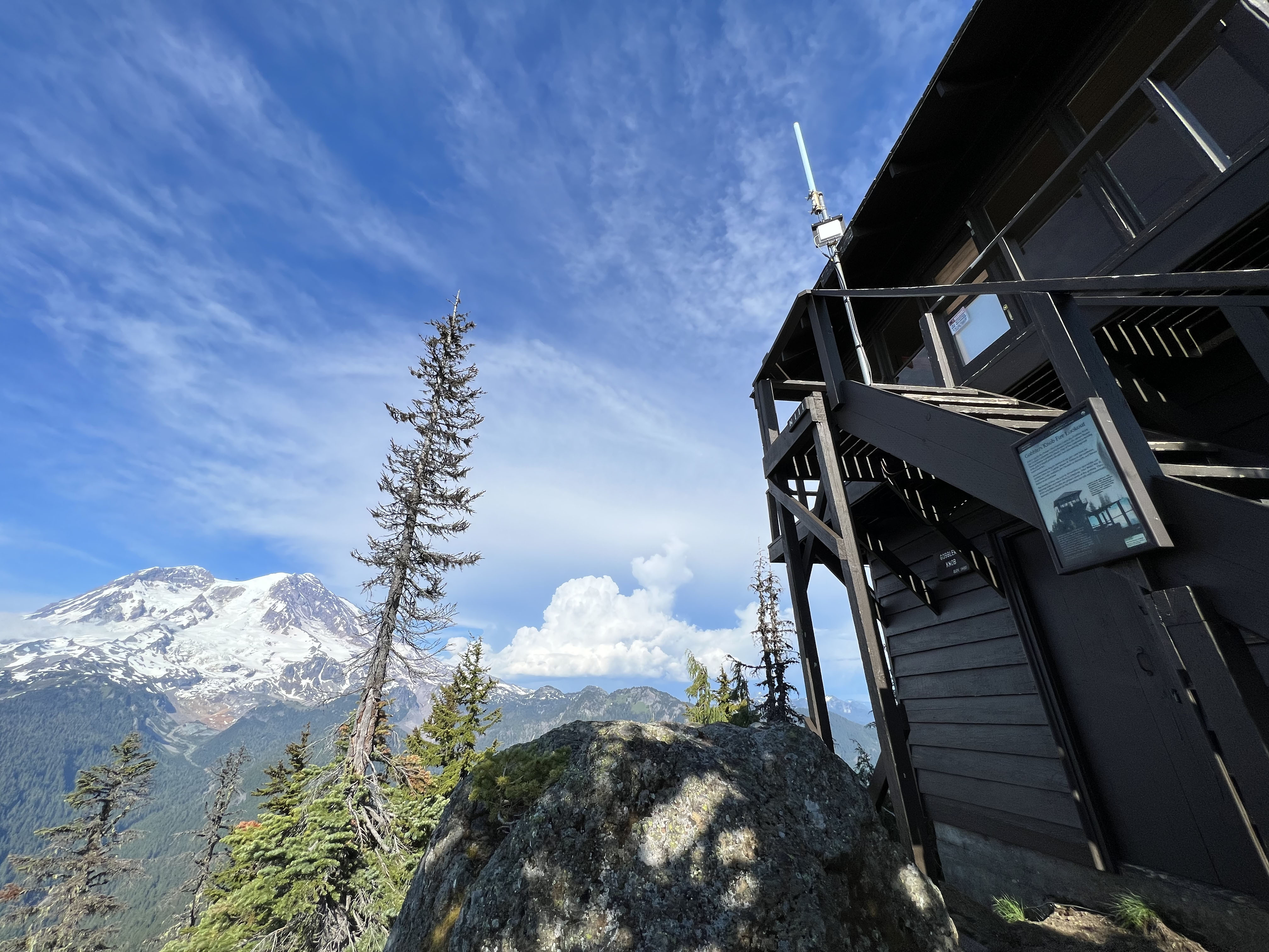
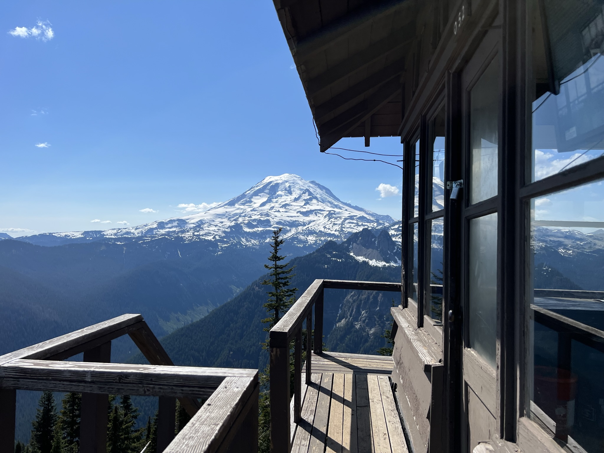
Hike to Gobblers Knob Fire Lookout
Hike to Shriner Peak Fire Lookout
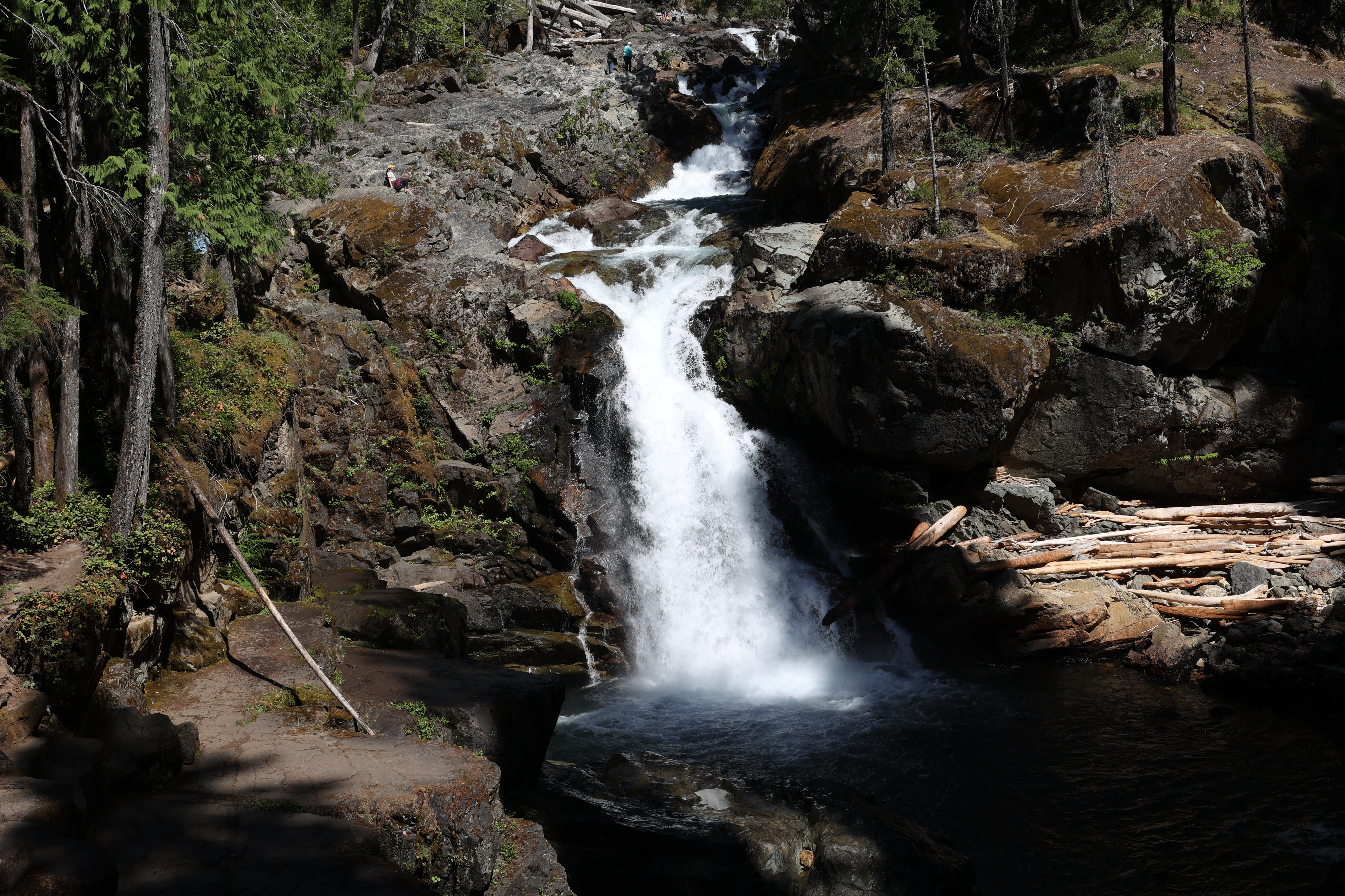
Hike to Silver Falls