Northern Loop: Carbon River to Windy Gap
What to Expect
Safety Advisory
Creek crossings in the Carbon River drainage can be dangerous during snowmelt or after heavy rain — water levels rise fast and logs used as bridges shift or disappear between seasons.
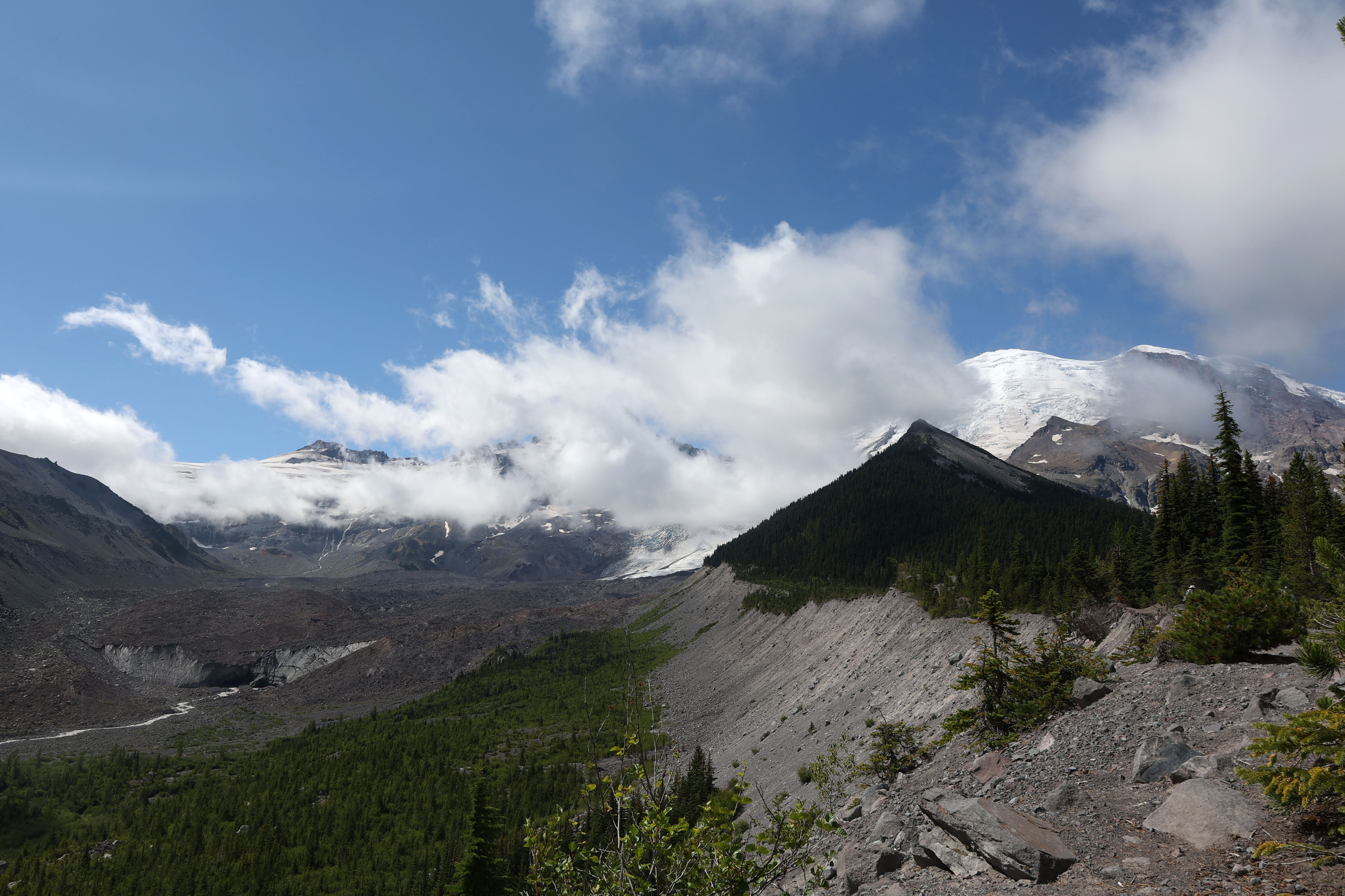
The approach to Windy Gap is exposed above treeline with no shelter; afternoon thunderstorms roll in quickly on Rainier's north side, so plan to be through the gap before early afternoon.
This area sees black bear activity throughout summer — hang food properly and carry bear canisters if overnighting.
Trail Details
- 1
Check the Carbon River road status before driving out — it's been closed to vehicles for years and adds several flat but tedious miles of walking on the old roadbed before you even reach the trailhead proper.
- 2
Carry a paper topo map of the Northern Loop; cell service is nonexistent and trail junctions in the Carbon River drainage can be poorly signed, especially after winter blowdowns.
- 3
Time your trip for late July through mid-August when snowfields on the upper approach to Windy Gap have melted enough to follow the trail without microspikes — earlier in the season, you'll be postholing through frustrating snow patches.