Skyline Trail Loop
What to Expect
Safety Advisory
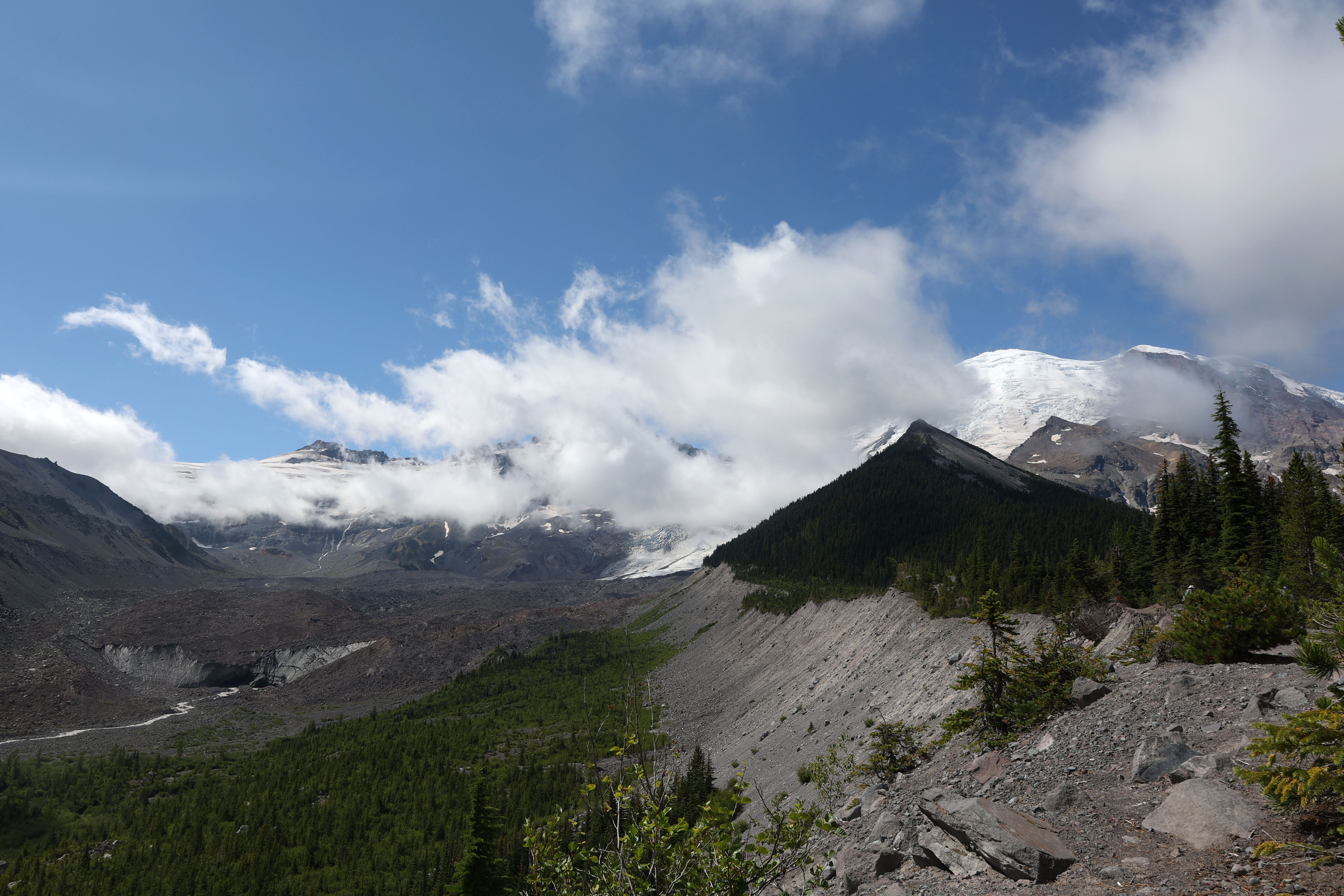
Snow covers the upper trail through mid-July most years, and route-finding above Panorama Point can be genuinely tricky in fog or whiteout conditions. Microspikes and a GPS track are worth carrying until August.
The trail is fully exposed above treeline with no shelter — afternoon thunderstorms build fast in summer, and hypothermia is a real risk if you get caught in rain and wind at elevation without a shell layer.
Trail Details
Pro Tips
Start by 7:30 AM to beat the Paradise parking chaos — the lot regularly fills by 10 AM on summer weekends, and once it's full, rangers turn cars away at the gate. Weekdays are dramatically less crowded.
Hike the loop clockwise (up the Skyline Trail, down via the Golden Gate Trail) to tackle the steepest pitches on fresh legs and get the glacier views first while morning light hits the mountain's south face.
The stretch between Panorama Point and the Pebble Creek junction is the most photogenic — afternoon clouds often roll in by 1 PM, so shoot your summit photos on the way up rather than saving them for the return.
More Trails in Mount Rainier
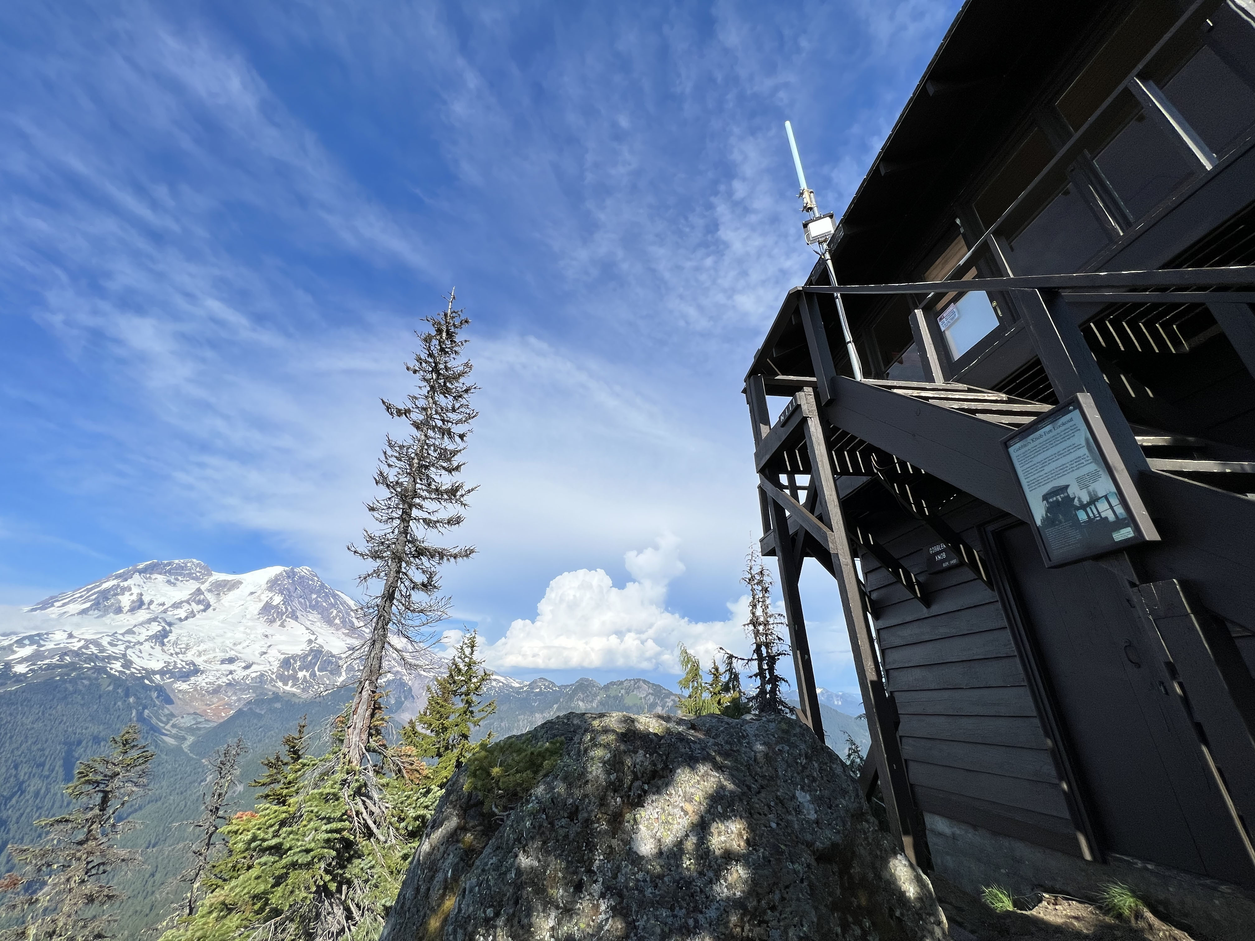
Hike to Gobblers Knob Fire Lookout
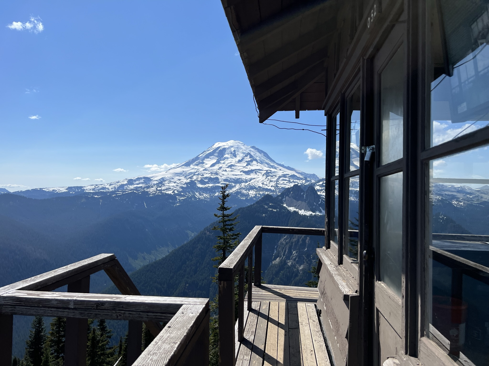
Hike to Shriner Peak Fire Lookout
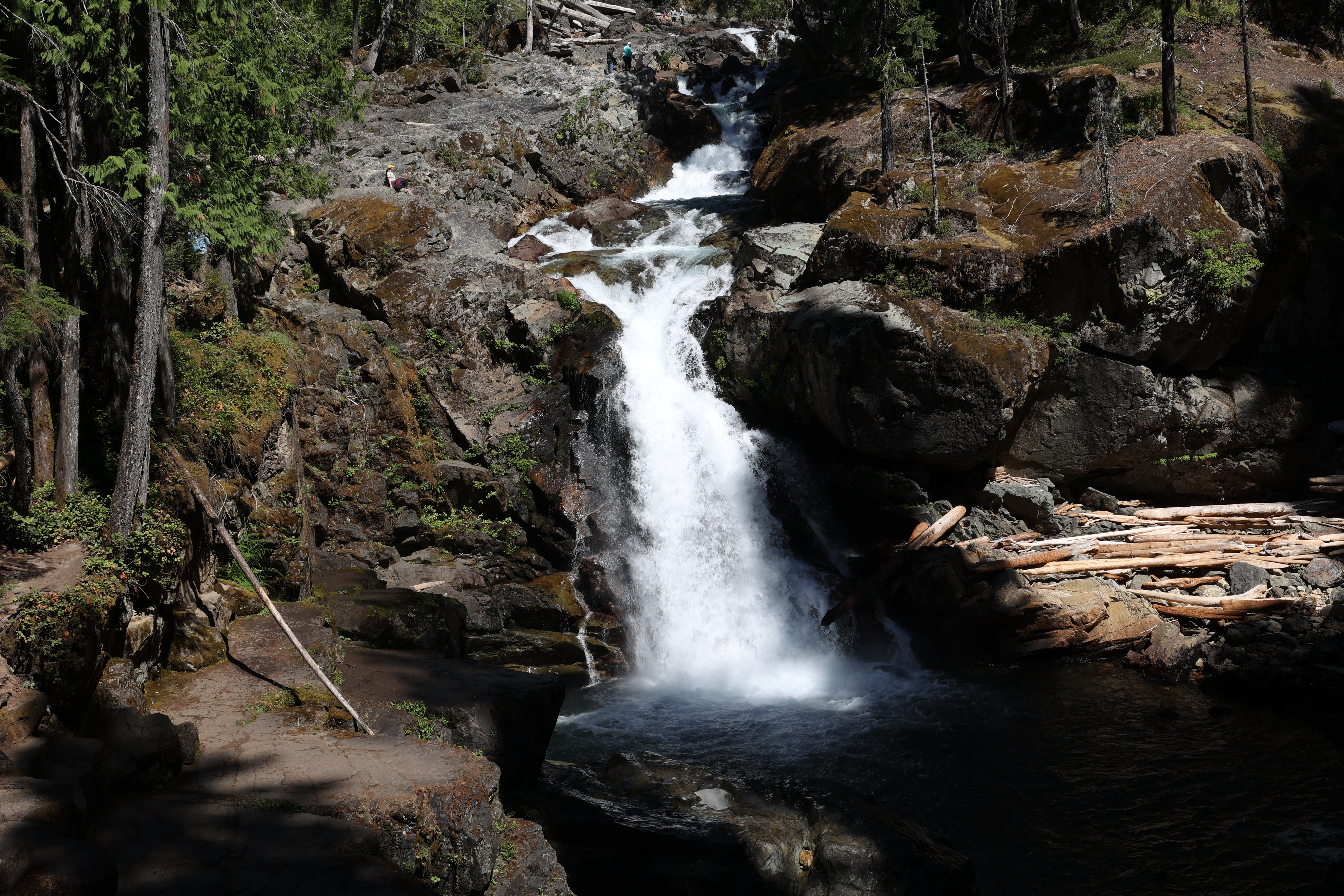
Hike to Silver Falls