Tahoma Creek Trail
What to Expect
Safety Advisory
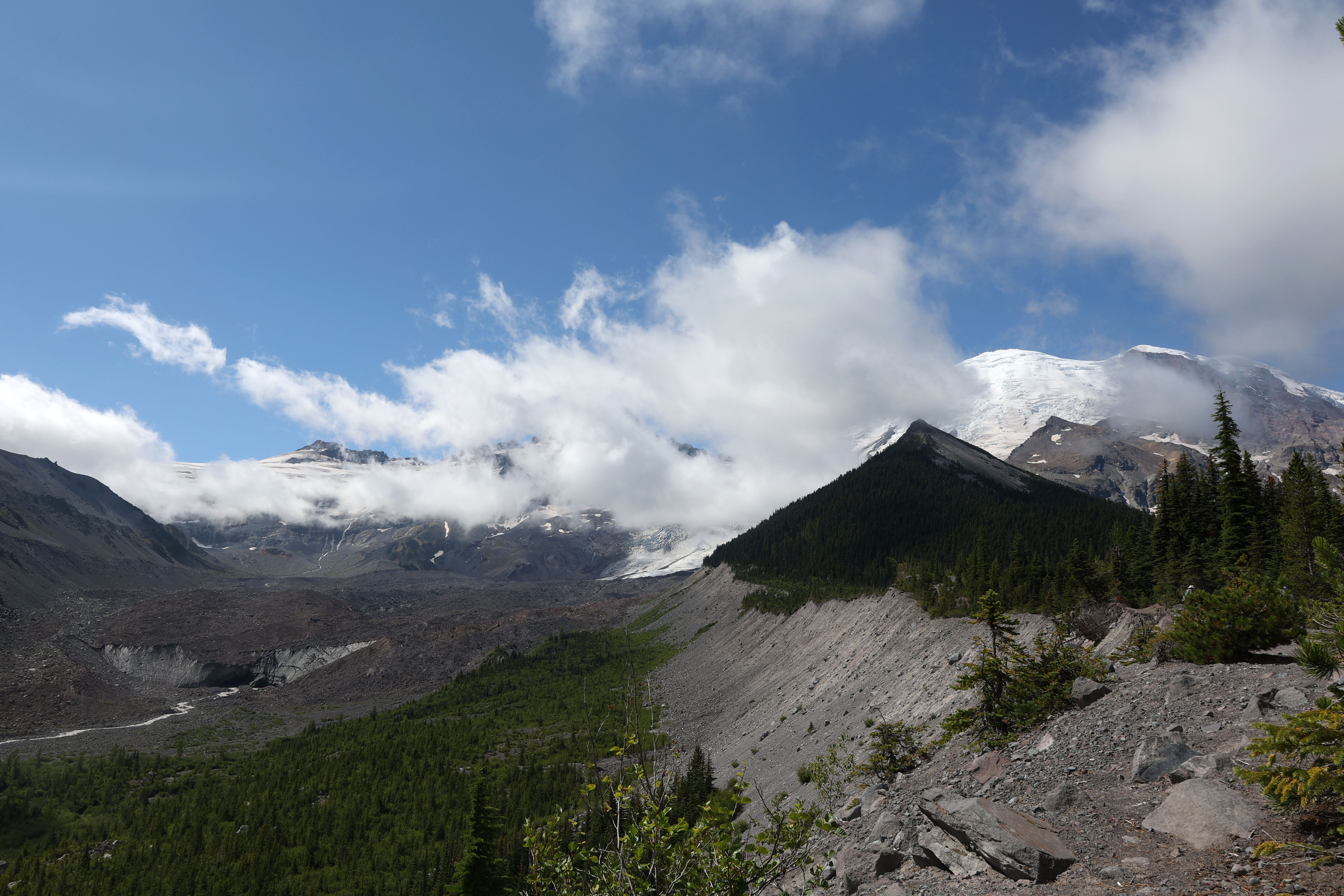
The trail is officially closed due to catastrophic debris flow damage. The ground is unstable, bridges are destroyed, and sudden glacial outburst floods (jokulhlaups) from the South Tahoma Glacier can send walls of water and debris down the canyon with little warning.
Even when Westside Road is partially open, rockfall and washouts make driving conditions hazardous. Do not attempt to hike beyond closure signs — the NPS closes trails here because people have died in these debris flows.
The creek crossings that once existed are gone. Attempting to ford Tahoma Creek in its current state means dealing with glacial meltwater that runs fast, cold, and opaque with sediment — you cannot see the bottom or judge depth.
Trail Details
Pro Tips
Check the NPS Mount Rainier alerts page before driving out — Tahoma Creek's status changes with each storm season, and the road access (Westside Road) is itself frequently closed by debris flows beyond the first three miles.
If the trail reopens in any capacity, approach it as a route-finding exercise rather than a marked hike. Carry a detailed topo map and GPS; the old trail tread is buried under lahar deposits in multiple sections.
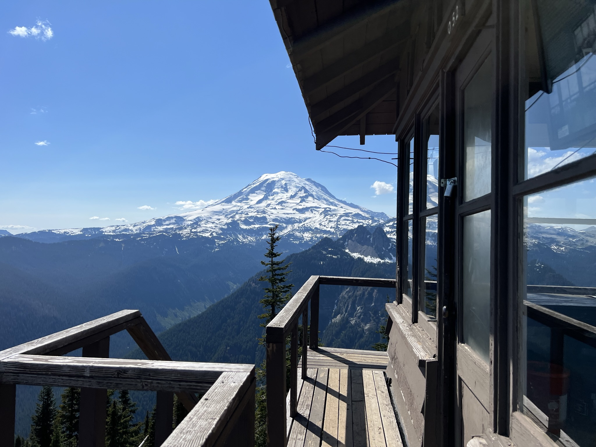
The Westside Road closure often still allows access to some shorter trails nearby — Round Pass and Gobblers Knob offer legitimate alternatives with Tahoma-facing views while this trail remains shuttered.
More Trails in Mount Rainier
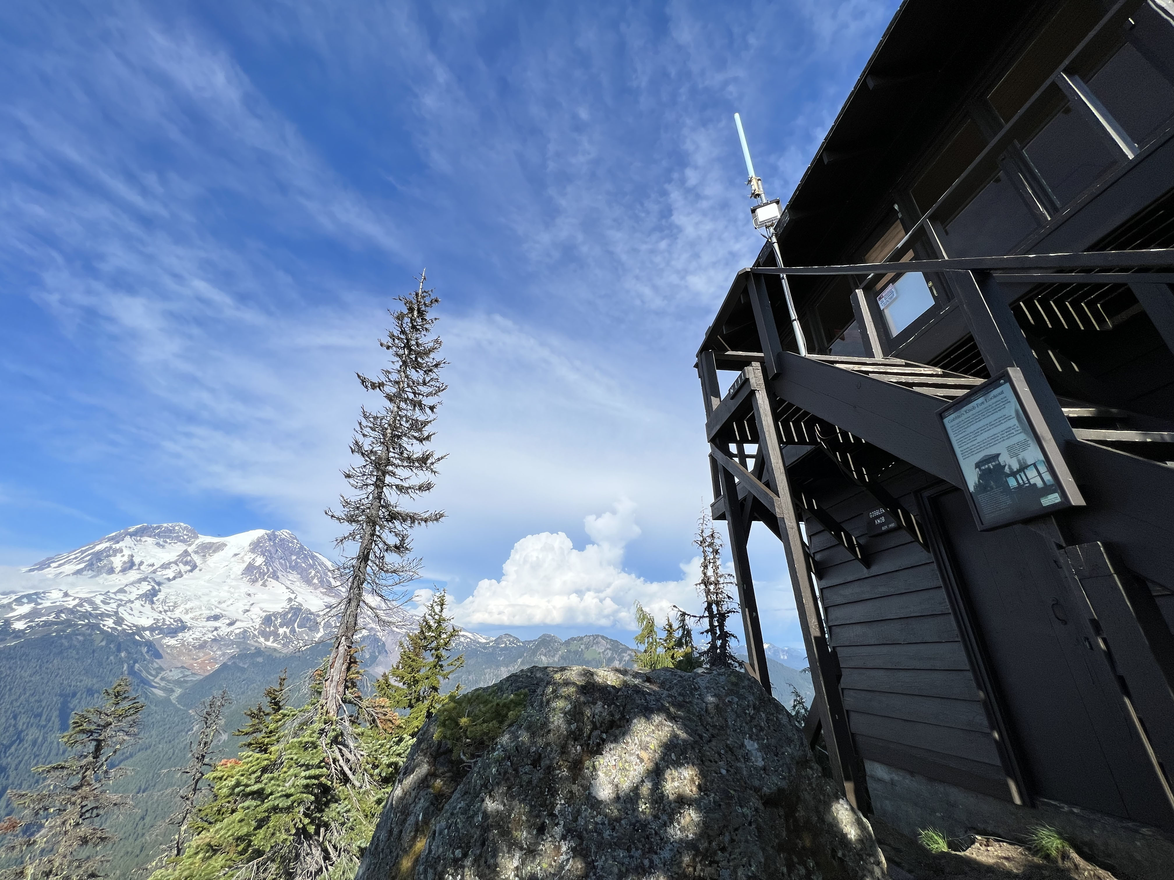
Hike to Gobblers Knob Fire Lookout
Hike to Shriner Peak Fire Lookout
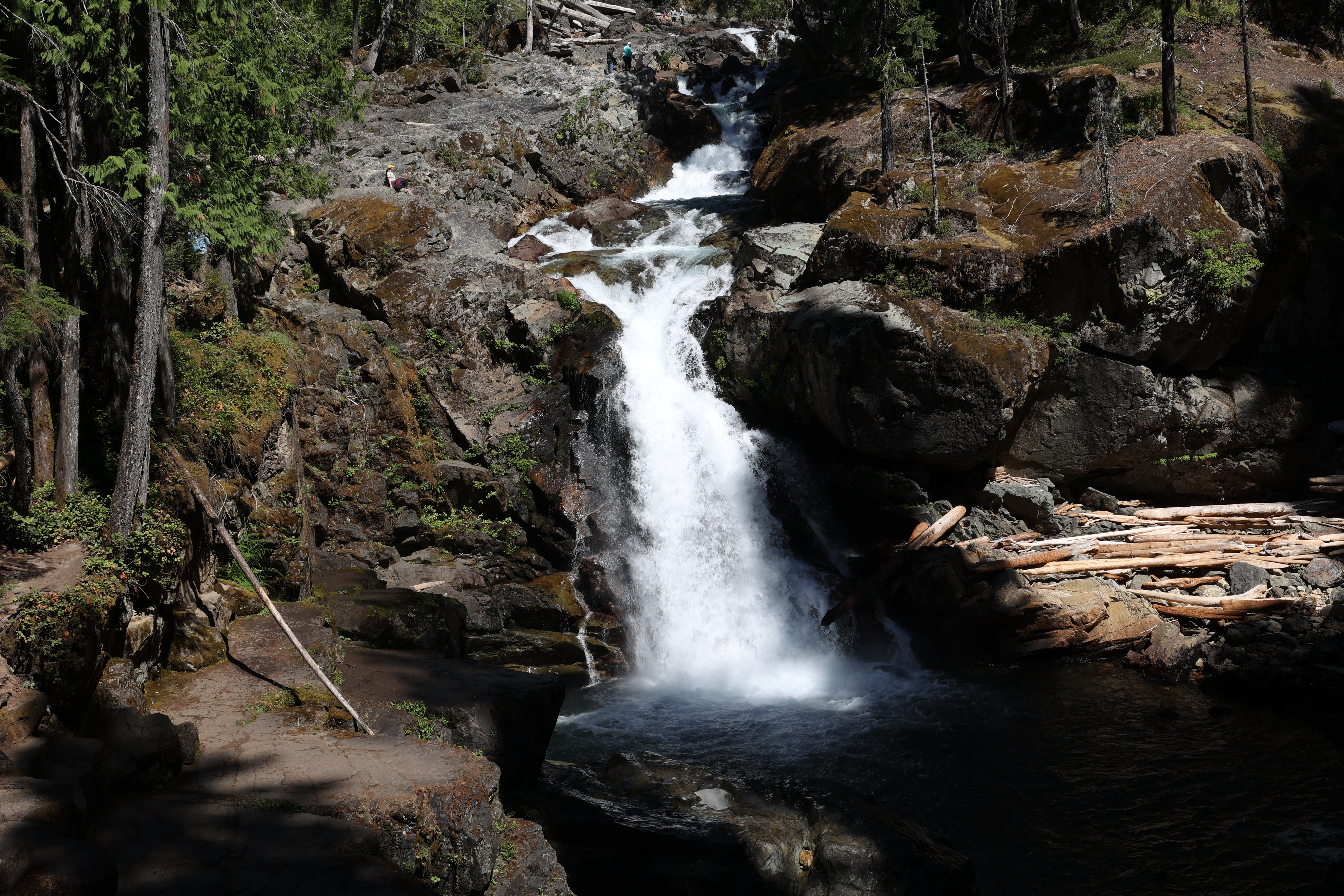
Hike to Silver Falls