The Wonderland Trail
What to Expect
Safety Advisory
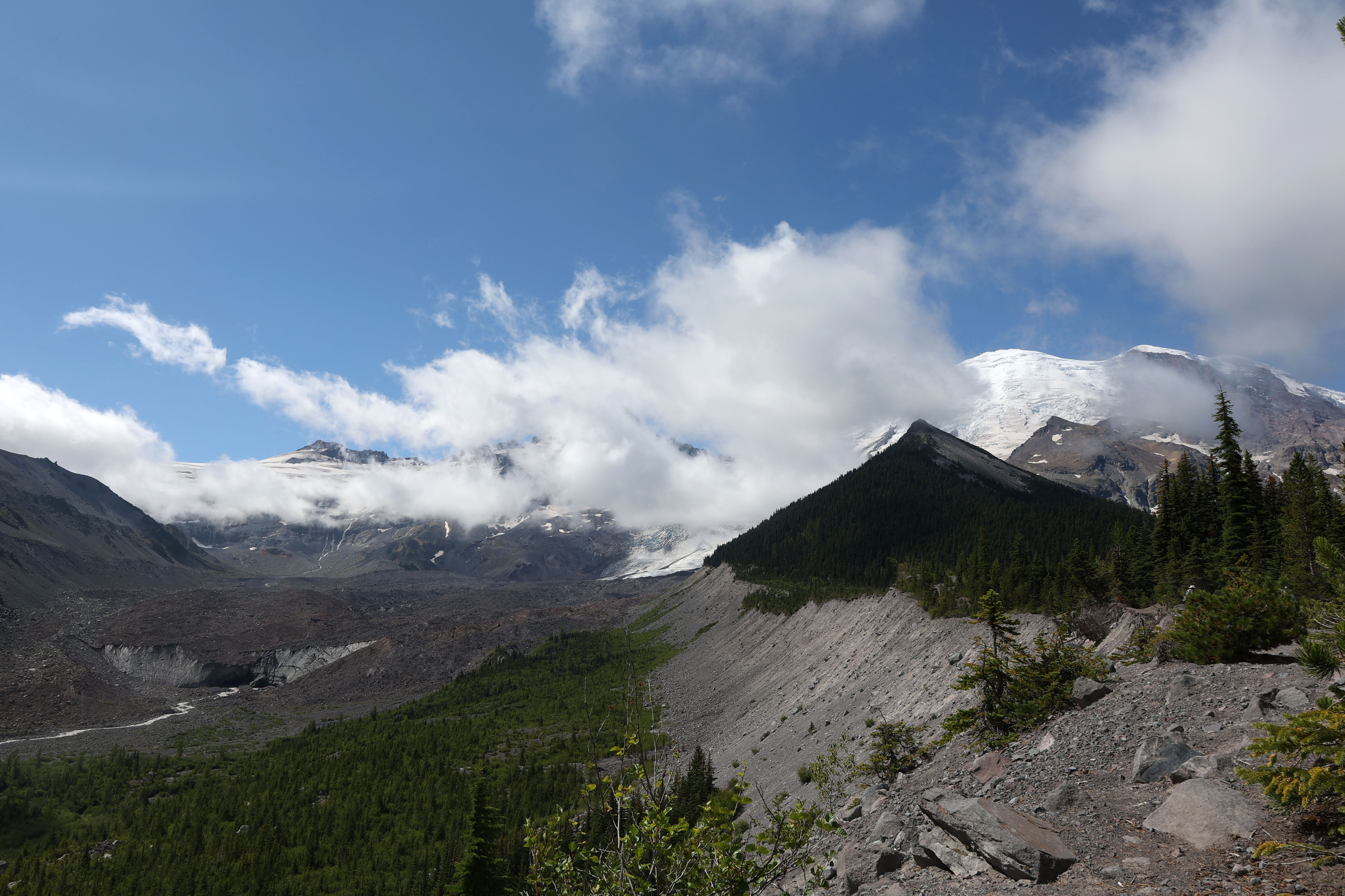
Glacial river crossings are the real hazard here — Tahoma Creek, Carbon River, and Winthrop Creek can run thigh-deep by afternoon on hot days. Cross in the morning when snowmelt volume is lowest, unbuckle your hip belt, and use trekking poles for stability.
Weather on Rainier shifts without warning. You can start a pass in sunshine and be in a whiteout thirty minutes later. Carry layers for near-freezing temps even in August, and pack a full rain setup — the mountain makes its own weather.
Snow lingers on Panhandle Gap and Indian Bar well into late July some years. Check ranger station conditions reports the week before your start date. Microspikes and an ice axe are worth the weight if the snowpack is above average.
Trail Details
Pro Tips
The wilderness permit lottery opens March 15 — set a calendar reminder and apply the first day. Walk-up permits exist but you'll be building your itinerary around whatever campsites are left, which usually means brutal mileage days.
Cache food at designated ranger stations (Mowich Lake, White River, Longmire) to avoid hauling ten days of supplies from the start. Submit a food cache request with your permit application — they fill up fast.
Start at Longmire or Mowich Lake and go clockwise. You'll hit the exposed northern sections while your legs are still fresh, and the final stretch through the Carbon River valley is a forested, gentle finish that feels like a reward.
Photos
 NPS
NPSMore Trails in Mount Rainier
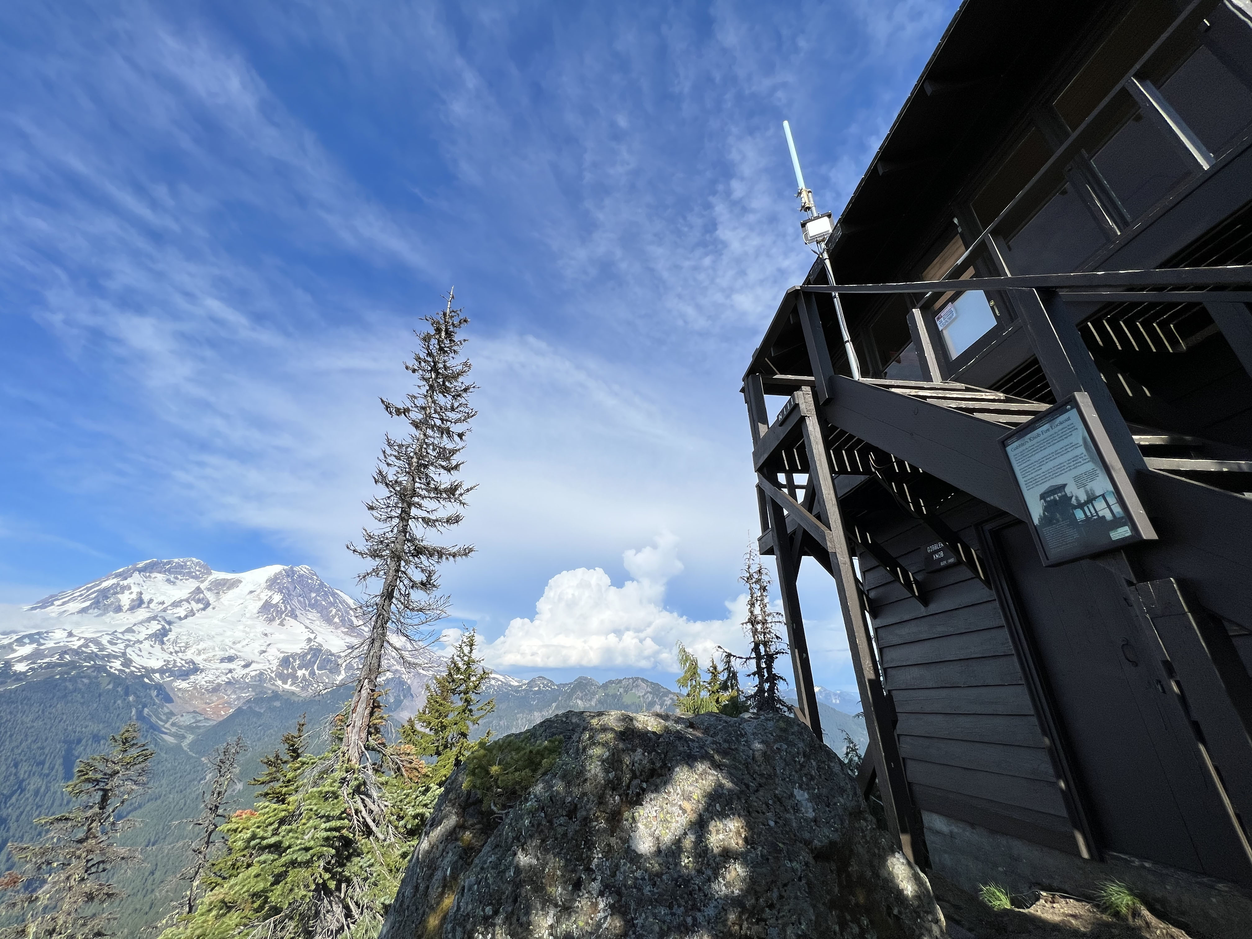
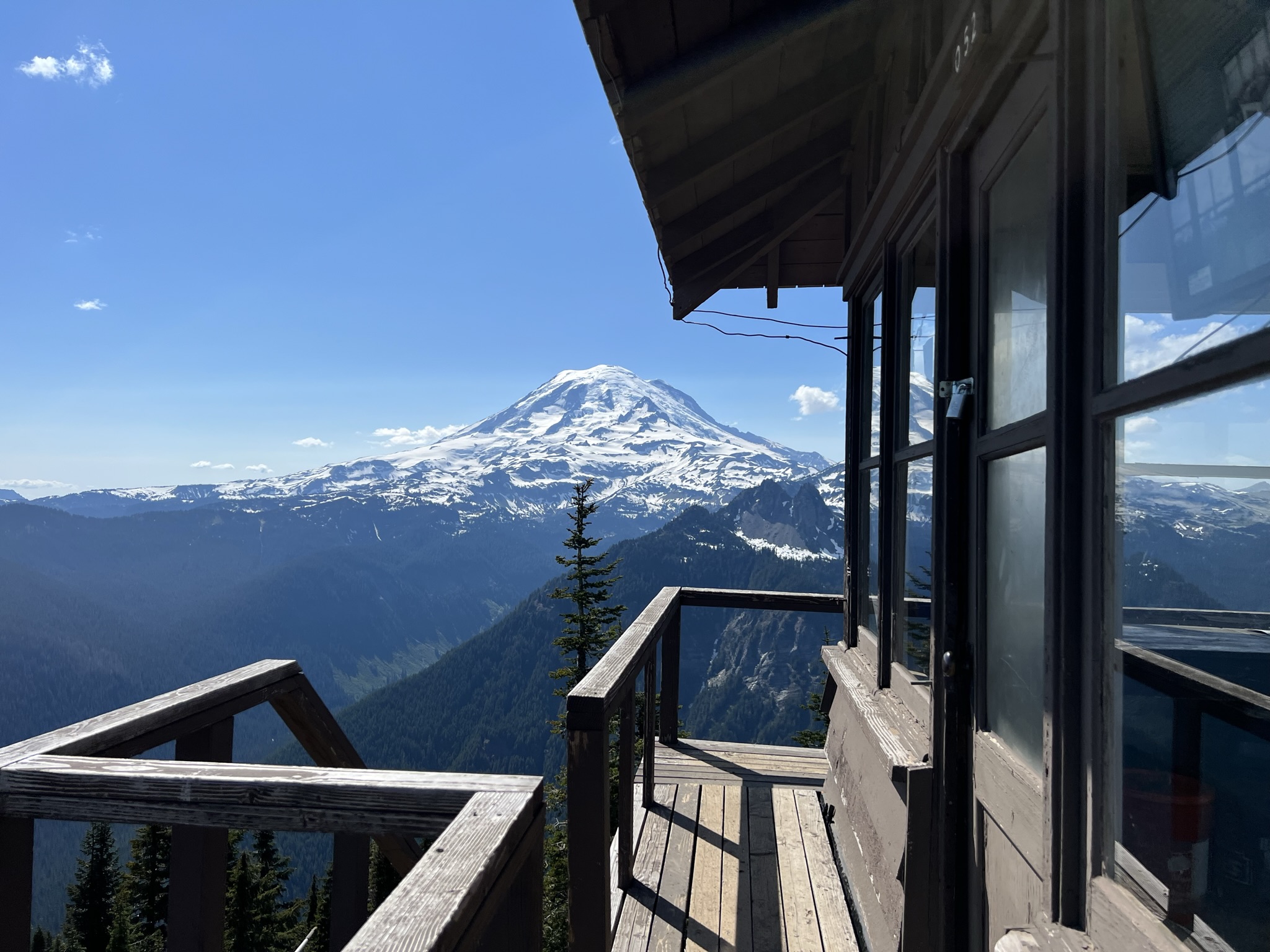
Hike to Gobblers Knob Fire Lookout
Hike to Shriner Peak Fire Lookout
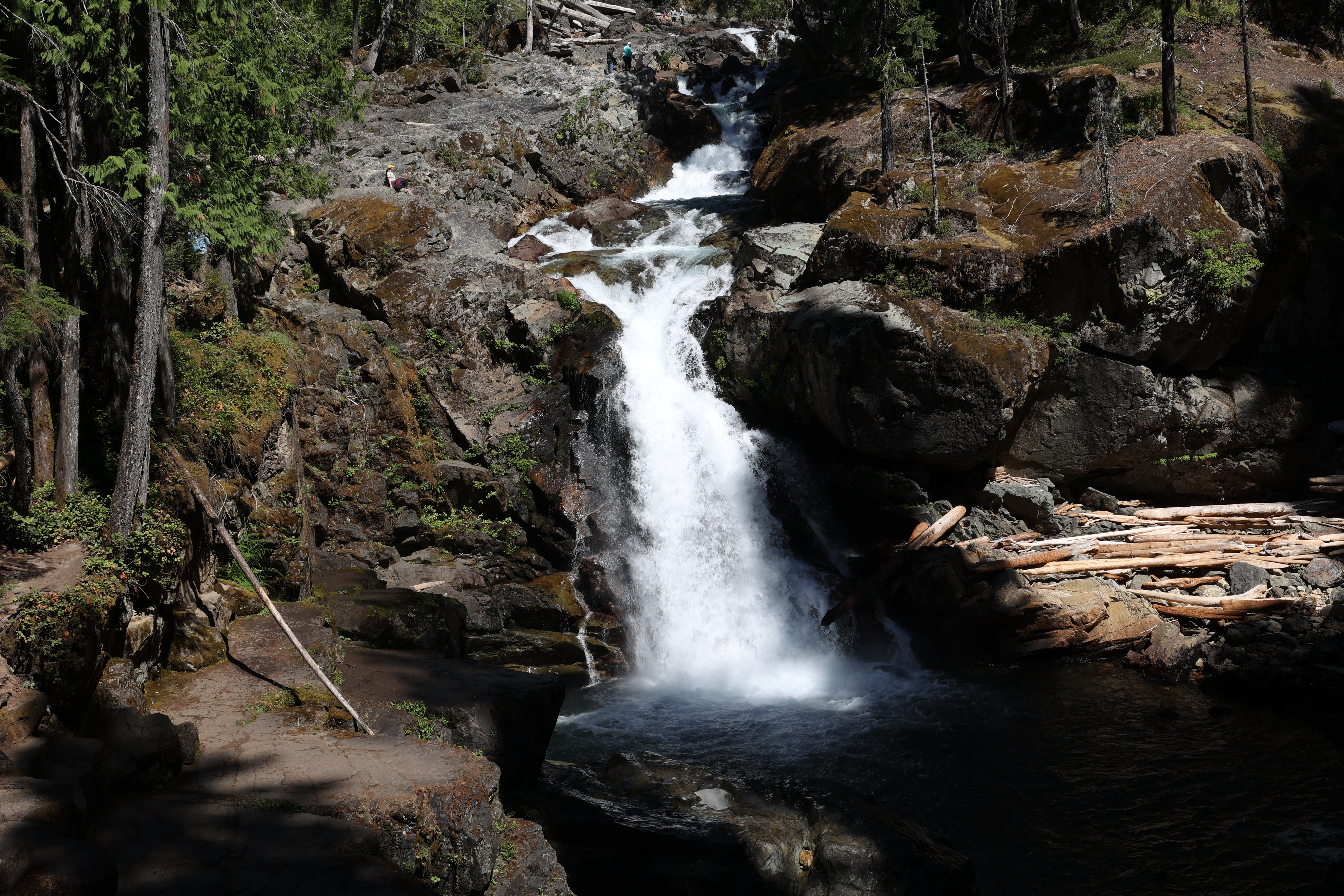
Hike to Silver Falls