Rainbow Creek Trail
What to Expect
Safety Advisory
Dead standing trees (snags) in the burn zone can topple without warning, especially during wind events — avoid lingering or camping near tall burned trunks.
Creek crossings can run high and fast during snowmelt in June and early July; trekking poles and water shoes earn their weight on this route.
The trail can be faint and overgrown in sections beyond the burn zone — carry a detailed topo map or GPS track, as signage is minimal in the backcountry stretches.
Trail Details
- 1
Start from the Rainbow Creek trailhead off Highway 20 near milepost 159 — parking is a small pullout that fills fast on summer weekends, so arrive before 8 AM or go midweek.
- 2
Carry a filter or treatment system — Rainbow Creek is your best water source along the route, but there is no guaranteed flow late in the season when snowmelt tapers off by September.
- 3
The burn zone creates wide-open sightlines that are spectacular for photography in the golden hour — the contrast of blackened snags against alpenglow on the surrounding peaks is unlike anything else on the Highway 20 corridor.
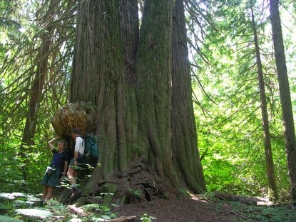
Photos
 NPS
NPS