Pinnacles National Park

Hike Chalone Peak Trail

strenuous Summit BaggersExperienced HikersSolitude Seekers
1.6 mi Distance
3-5 hours Estimated Time
roundtrip Trail Type

What to Expect

This one punches above its weight. The trail starts at the reservoir on the east side of the park and climbs relentlessly toward North Chalone Peak — the highest point in Pinnacles. The distance reads short on paper, but the strenuous rating is earned through sustained uphill on exposed terrain with zero shade. You're walking through classic California chaparral — dry brush, volcanic rock formations, and the occasional raptor circling overhead. The final stretch follows a dirt road to the summit, where the payoff hits: sweeping views across the Salinas Valley, the Gabilan Range, and on clear days, the Santa Lucia Mountains. If you're feeling ambitious, an unmaintained trail continues another mile and a half south to South Chalone Peak for an even more isolated vantage point. This is a trail for hikers who want to earn their views the hard way.
Summit BaggersExperienced HikersSolitude SeekersPhotographersOff-Season Hikers

Safety Advisory

There is absolutely no shade on this trail. Temperatures on the Chalone Peaks regularly run ten degrees hotter than the parking areas, and in summer that can mean triple-digit heat on exposed rock. Heat exhaustion is a real risk — if you feel dizzy or stop sweating, turn around immediately.

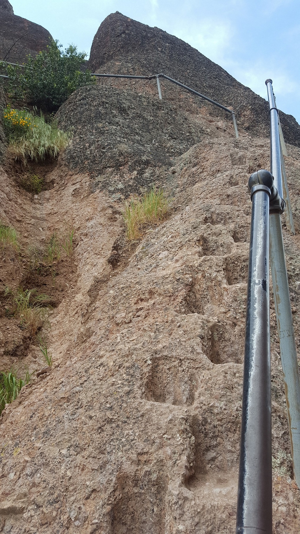
The unmaintained trail to South Chalone Peak is not regularly monitored. The footing is loose in sections, and the route can be difficult to follow. Solo hikers should let someone know their plans before heading past North Chalone Peak.

Rattlesnakes are active in warmer months, particularly in the rocky terrain along the trail. Watch where you place your hands and feet, especially when stepping over rocks or logs.

Trail Details

Distance 1.6 miles round-trip
Difficulty strenuous
Estimated Time 3-5 hours
Trail Type roundtrip
Pets Not allowed
Season In summer, expect temperatures in the High Peaks and Chalone Peaks to be 10 degrees hotter than parking areas. Avoid hiking during the hottest parts of the day. There is no shade on trail. Bring plenty of water, salty snacks, a hat, and sunscreen.
Trailhead Hike Chalone Peak Trail

Pro Tips

Trail Tip

Start early — by 9 AM in any season. The east side bakes in direct morning sun, and by midday the exposed trail can feel like a convection oven. A sunrise start gets you summit views in golden light and back to the car before the heat peaks.

Trail Tip

Carry at least two liters of water per person, even in winter. There is no water source on the trail, and the dry volcanic terrain reflects heat. Freeze one bottle overnight so it stays cold longer on the climb.

Trail Tip

If you push on to South Chalone Peak via the unmaintained trail, download offline maps beforehand. The path is faint in places and not signed. The view from the southern summit is arguably better — fewer visitors and a unique perspective down the full spine of the Gabilan Range.
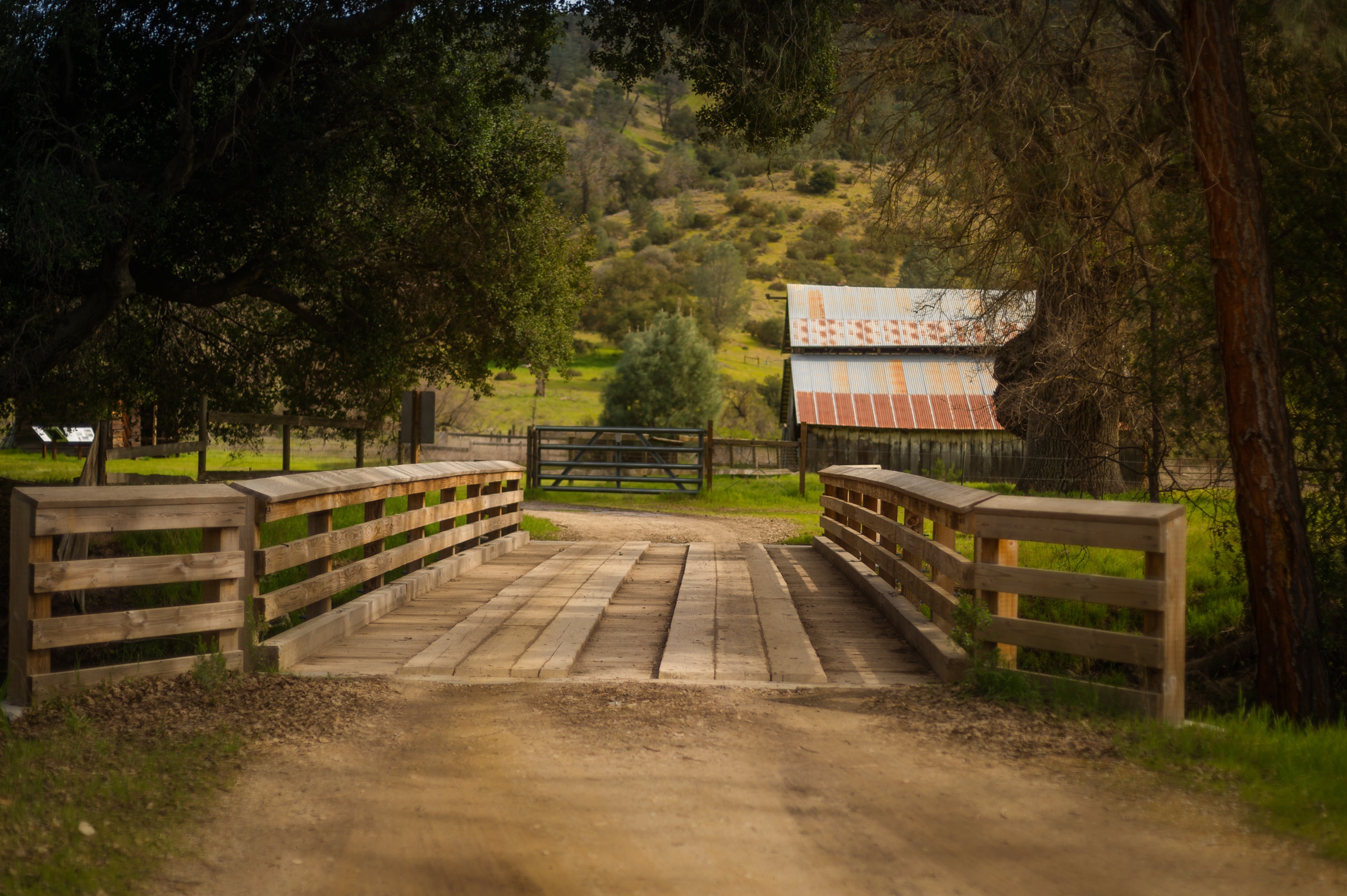
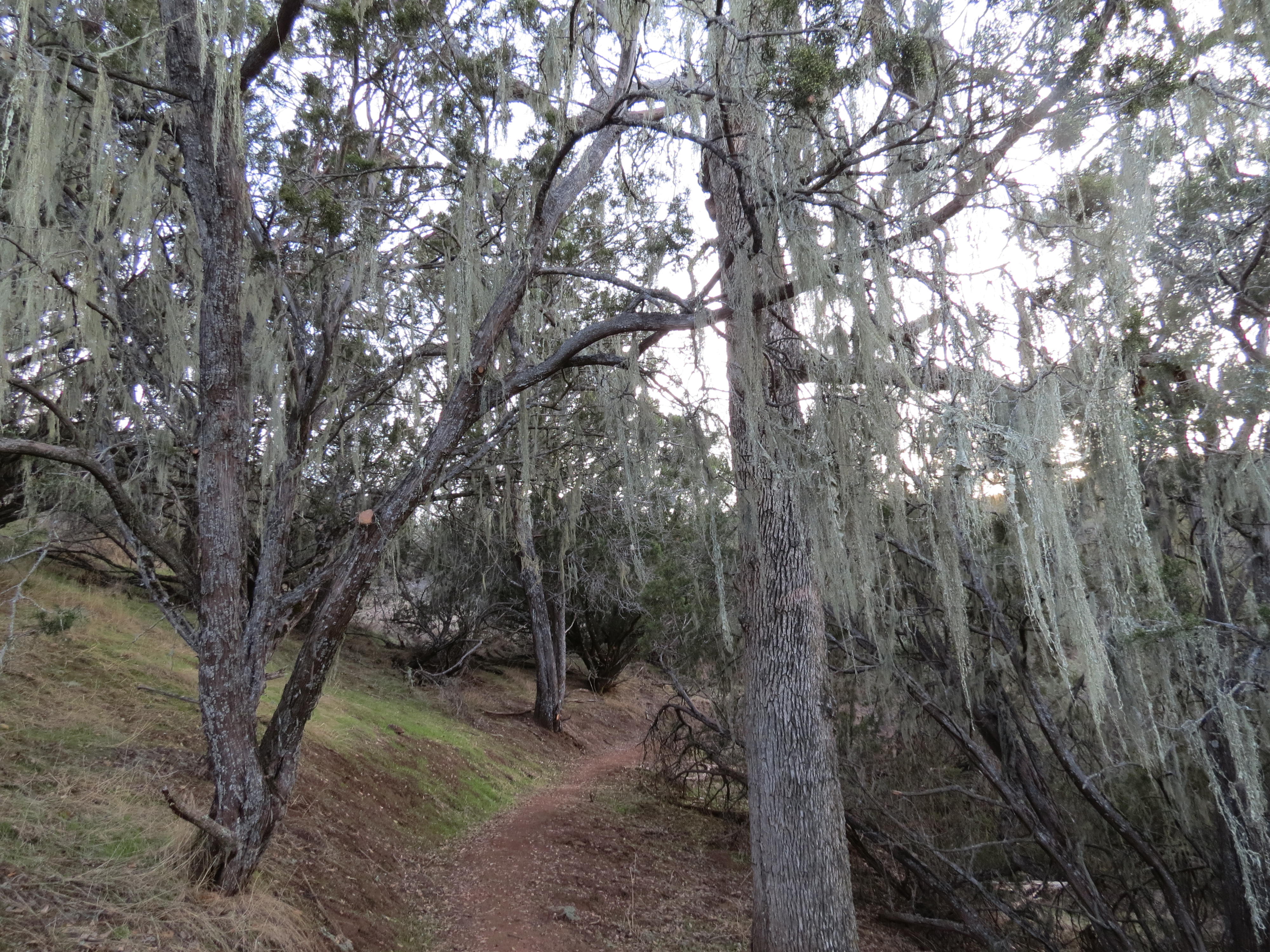
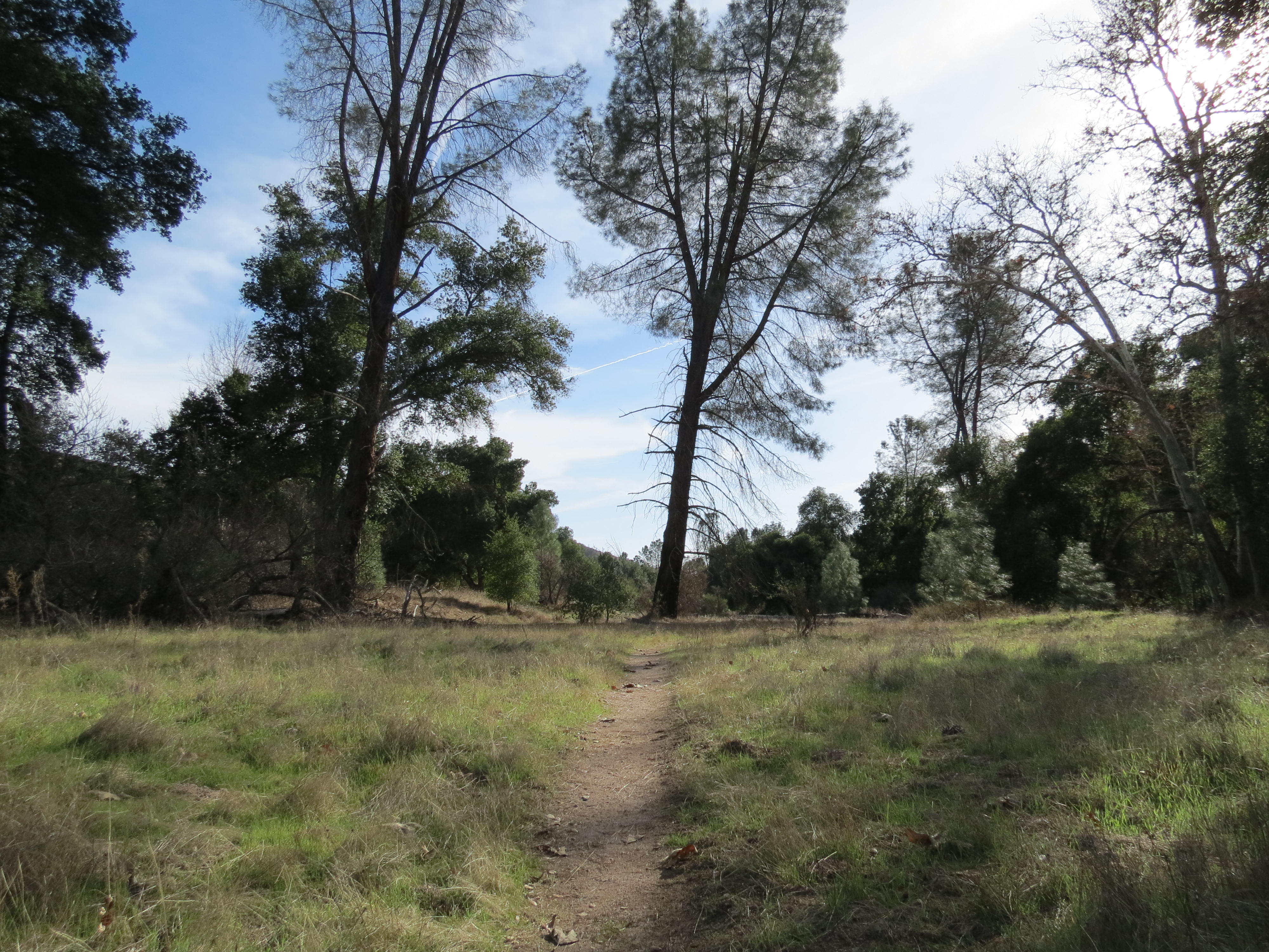
Photos

Getting There

More Trails in Pinnacles

Explore Pinnacles National Park

1 campgrounds, 30 trails, 354K annual visitors

View Park Guide