West Ridge Trail
What to Expect
Safety Advisory
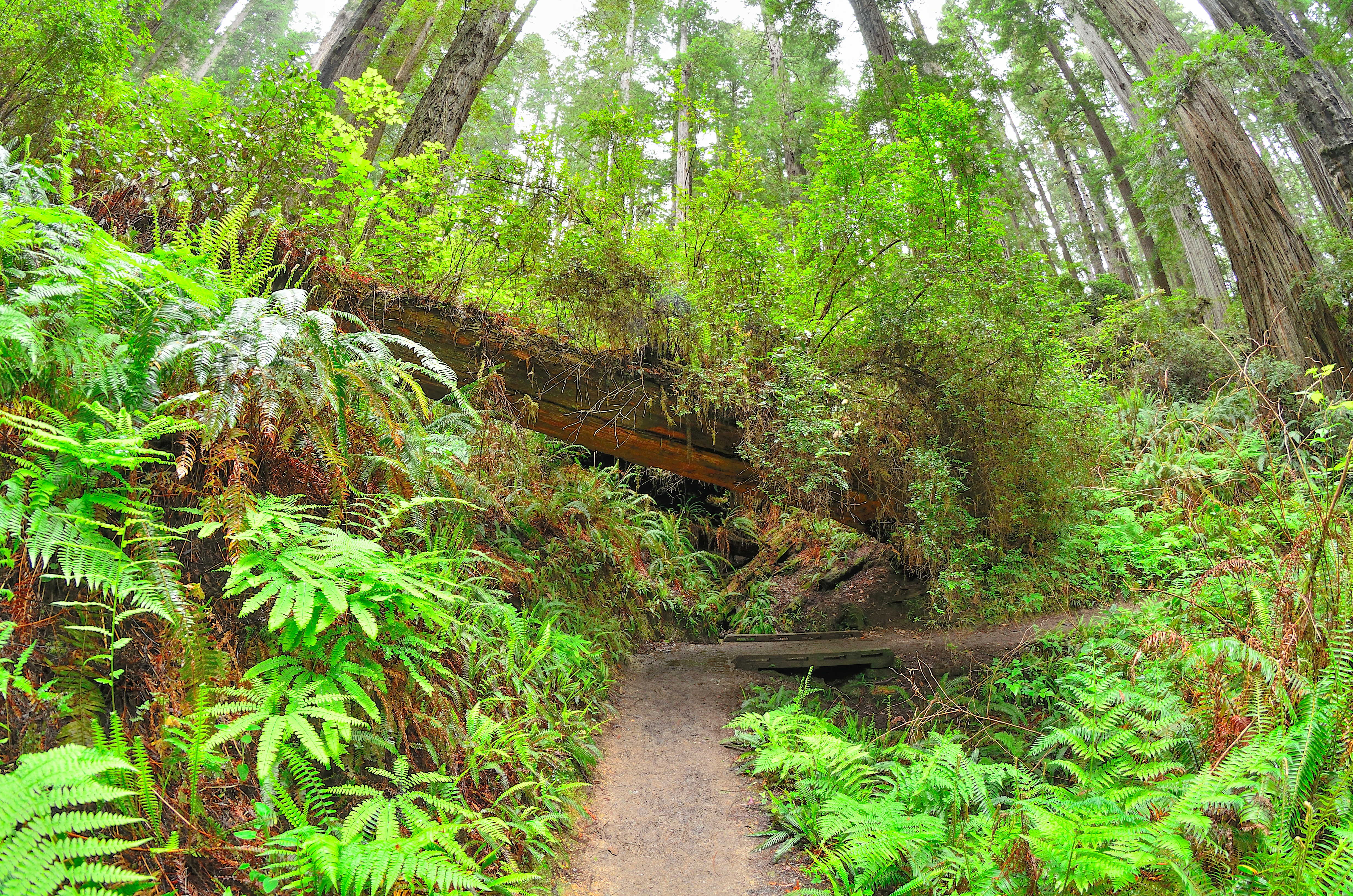
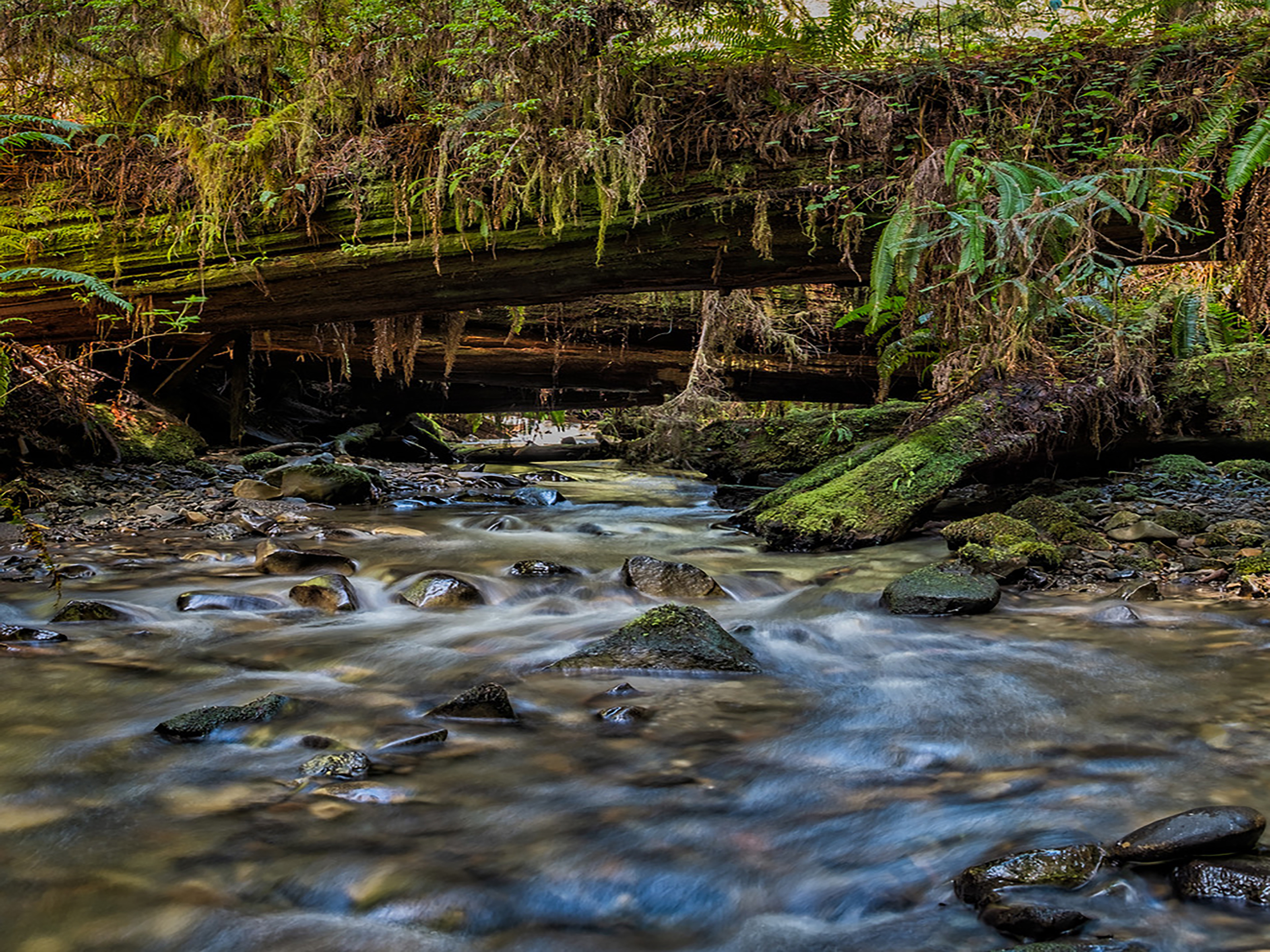
Fallen trees and root obstacles are common, especially after winter storms — watch your footing on wet surfaces, as the combination of redwood duff and moisture creates surprisingly slick conditions.
The trail is remote enough that cell service is nonexistent for most of the route. Let someone know your plan and carry basic first aid, because help is a long walk away.
Trail Details
Pro Tips
Set up a car shuttle by leaving one vehicle at the southern trailhead near the Parkway entrance and starting from the north end — this turns a grueling 14-mile out-and-back into a manageable one-way trek through the best old-growth sections.
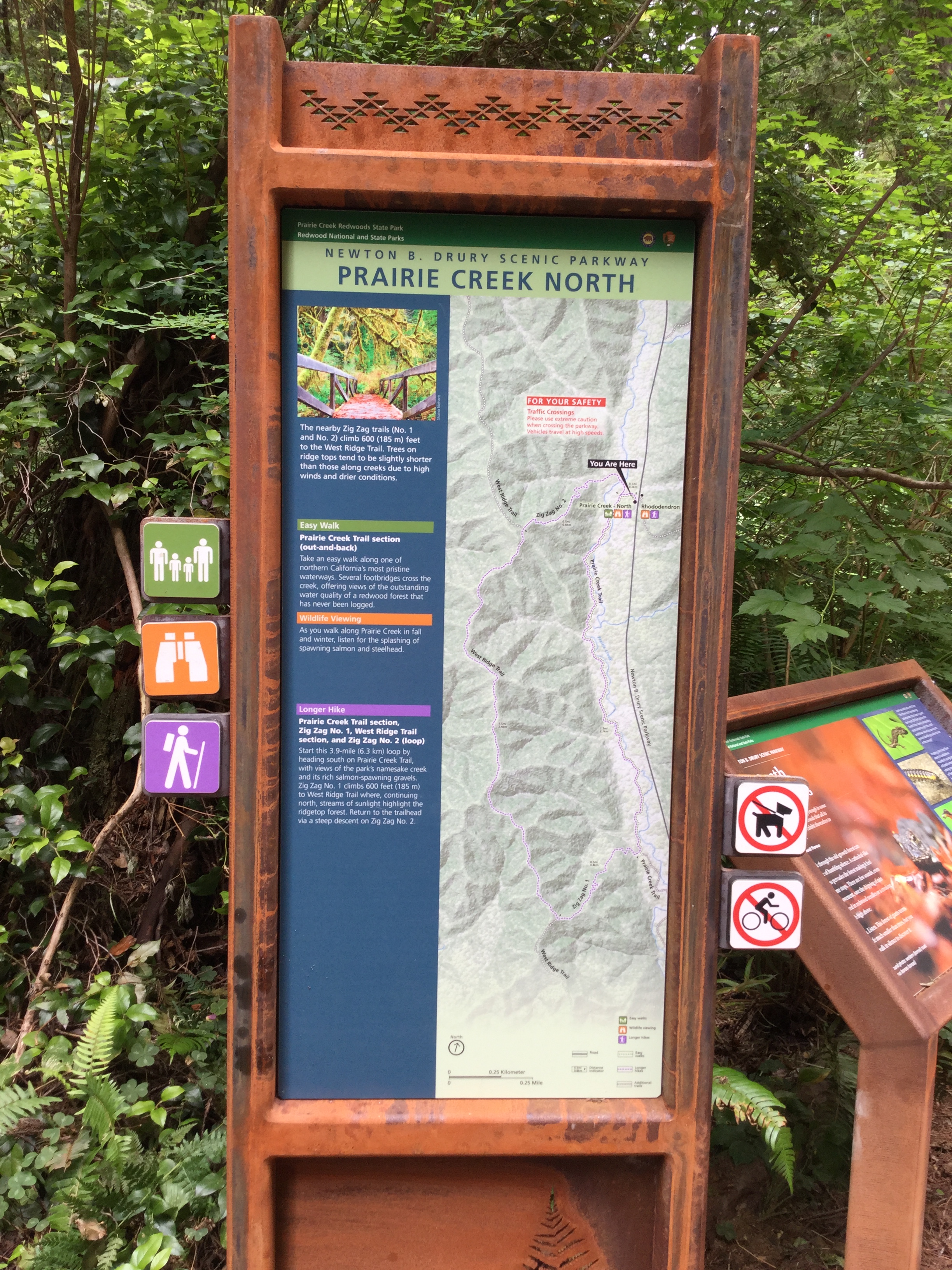
The trail connects to Prairie Creek and other spur routes, so carry a proper trail map (the park's free handout works fine) — signage at junctions can be sparse, and GPS signal gets spotty under heavy canopy.
Mornings bring the most dramatic light shafts through the redwood canopy, especially in fall and winter when the sun angle is low. The stretch about two miles in, where the trees are thickest, is worth slowing down for if you have a camera.