Theodore Roosevelt National Park

Hike Coal Vein Trail

FamiliesGeology BuffsWheelchair Accessible
0.8 mi Distance
45 min Estimated Time
loop Trail Type

What to Expect

Coal Vein Trail is a geology classroom disguised as a short walk through the badlands. From the trailhead, grab the printed guide and follow the numbered posts along this paved loop as it winds past exposed coal seams, crumbling bentonite clay, and the striking red clinker rock that caps the buttes you've been photographing all day. The trail explains how an underground coal fire — burning for centuries — literally baked the surrounding clay into that vivid brick-red stone. The terrain is flat and fully paved, making it one of the most accessible trails in the park. There's almost no shade, so the sun beats down on the pale, alien-looking landscape in a way that makes you feel like you wandered onto another planet. This trail is perfect for curious families, geology nerds, and anyone who wants to understand why the badlands look the way they do without breaking a sweat.
FamiliesGeology BuffsWheelchair AccessibleQuick StopsPhotography

Safety Advisory

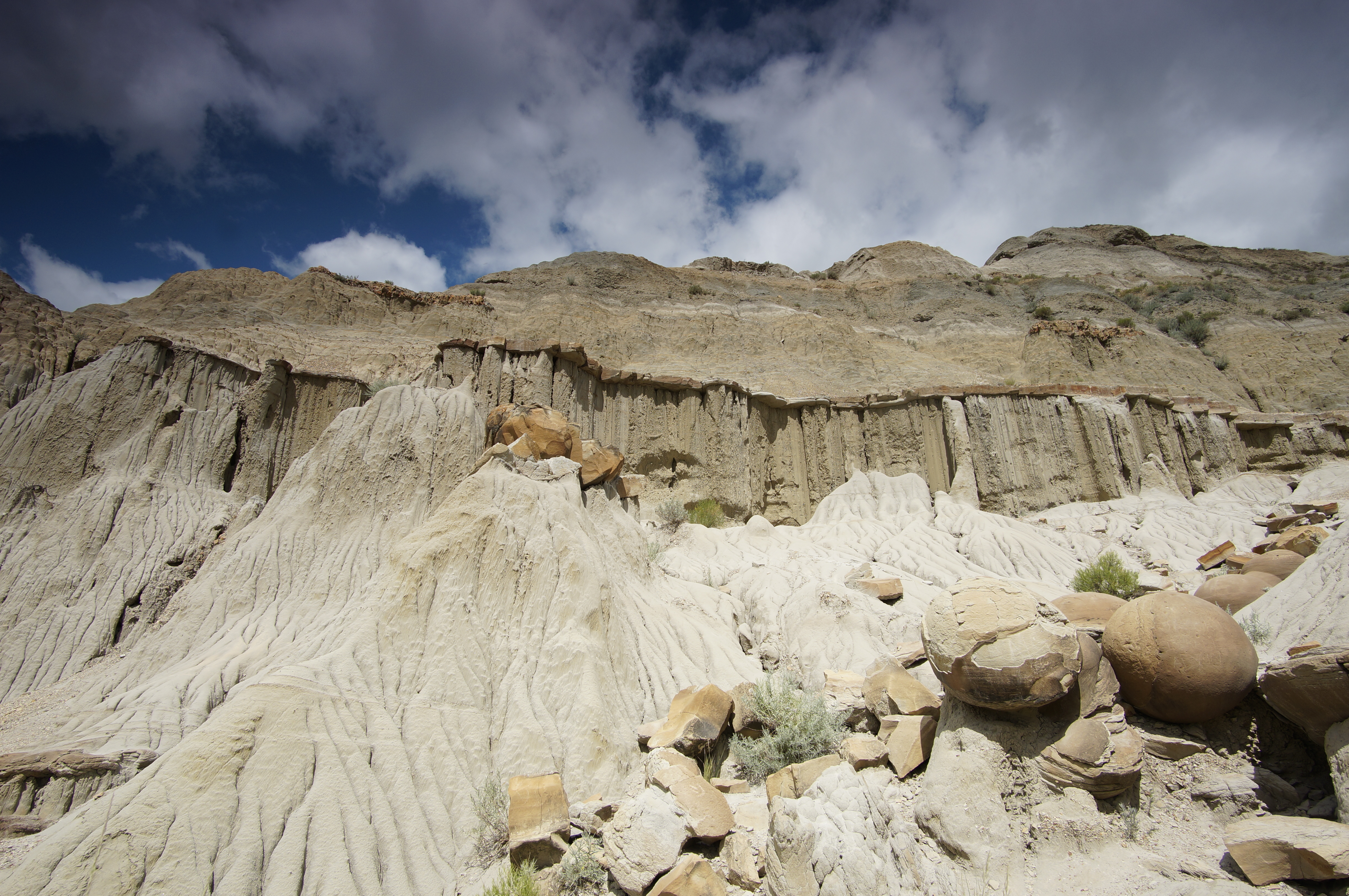
Bentonite clay becomes extraordinarily slippery when wet — even the paved sections can get coated with runoff mud after rain, turning the trail into a skating rink. Wait for it to dry or tread very carefully.

There is zero shade on this entire loop. In summer, surface temperatures on the exposed badlands can run significantly hotter than the air temperature, so carry water even for this short walk.

Trail Details

Distance 0.8 miles round-trip
Estimated Time 45 min
Trail Type loop
Pets Not allowed
Season Trail conditions may be dangerous or slippery due to inclement weather. Speak to a ranger for more details. 
Trailhead Hike Coal Vein Trail

Pro Tips

Trail Tip

Grab the Coal Vein trail guide brochure from the box at the trailhead before you start — the numbered stops make almost no sense without it, and the geology story is genuinely fascinating when you read along.

Trail Tip

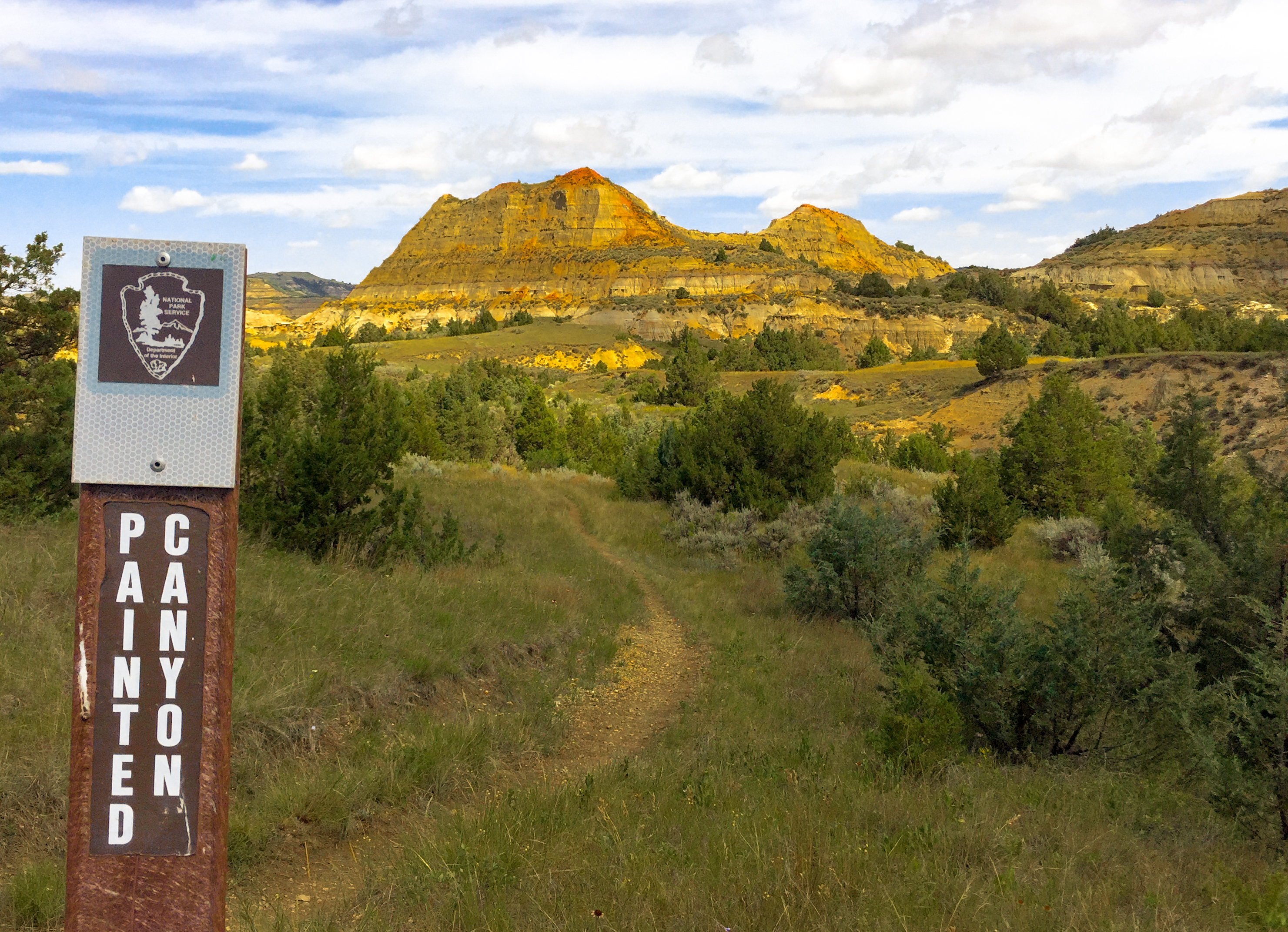
Hit this trail in late afternoon when the low-angle sun turns the clinker formations deep crimson and the bentonite clay glows in warm tones — midday light washes everything out to a flat gray.

Trail Tip

Pair this with the nearby Buck Hill overlook just up the road for a one-two punch: learn what clinker is on Coal Vein, then see it capping every butte from the highest point in the South Unit.

Photos

Getting There

More Trails in Theodore Roosevelt

Explore Theodore Roosevelt National Park

3 campgrounds, 35 trails, 733K annual visitors

View Park Guide