Maah Daah Hey
What to Expect
Safety Advisory
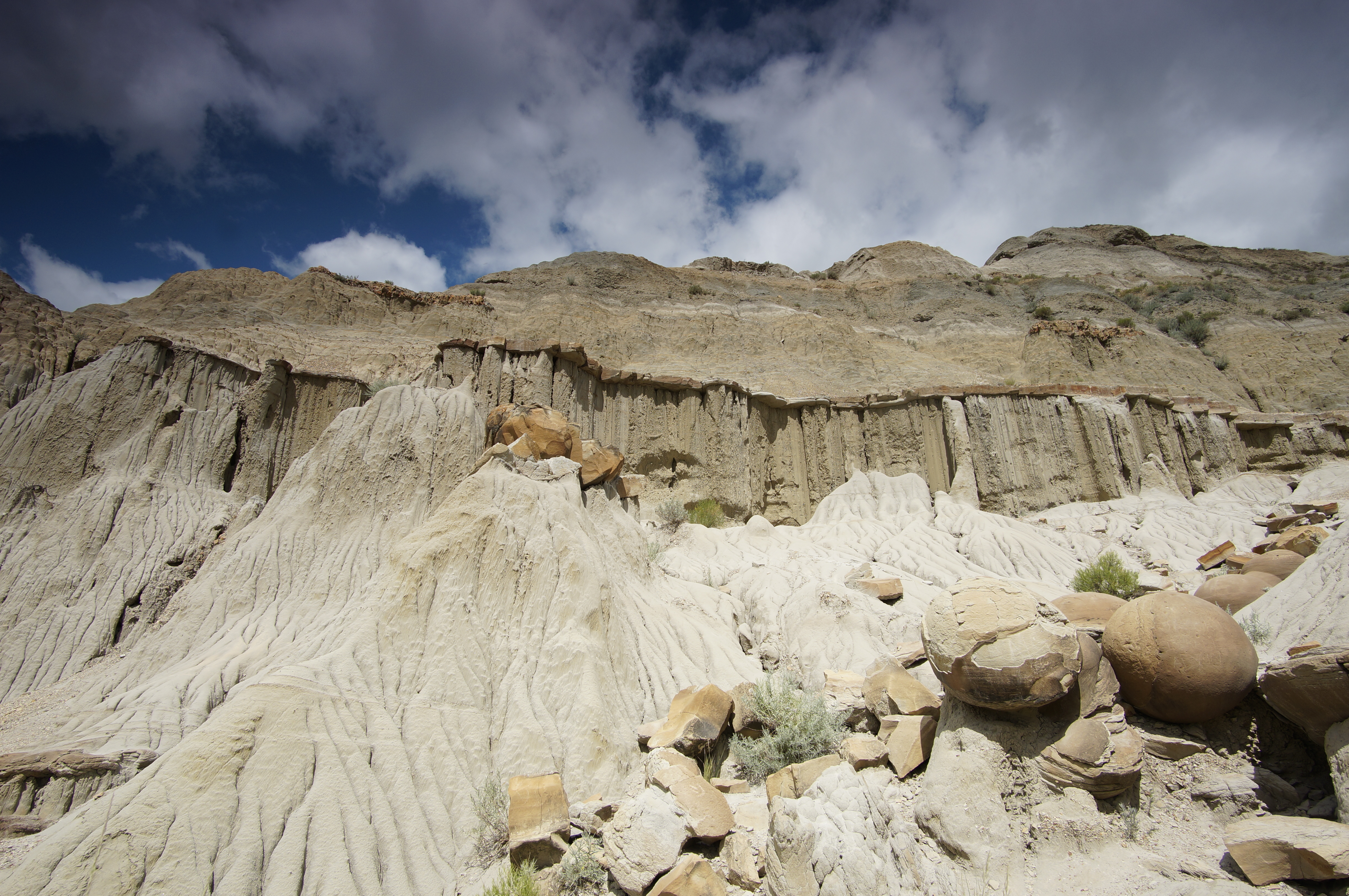
Bentonite clay becomes impossibly slick when wet — even light rain turns the trail into a skating rink. Check the forecast before heading out, and if storms roll in, hunker down rather than pushing through. Twisted ankles and mud-caked boots are the best-case scenario on wet clay.
Bison roam freely through the South Unit and they are not interested in your personal space. Give them at least 75 yards, never approach for photos, and if one starts snorting or raising its tail, back away slowly. They can sprint three times faster than you can run.
There is virtually no shade on this trail. Heat exhaustion is a real risk from late June through early September, especially on south-facing slopes. Start at dawn or wait for a cooler day.
Trail Details
Pro Tips
This is a one-way trail, so arrange a shuttle or plan to double back — the Sully Creek State Park trailhead on the south end and the CCC campground area are common start/end points. Stash a car or coordinate a pickup unless you want a 14-mile day.
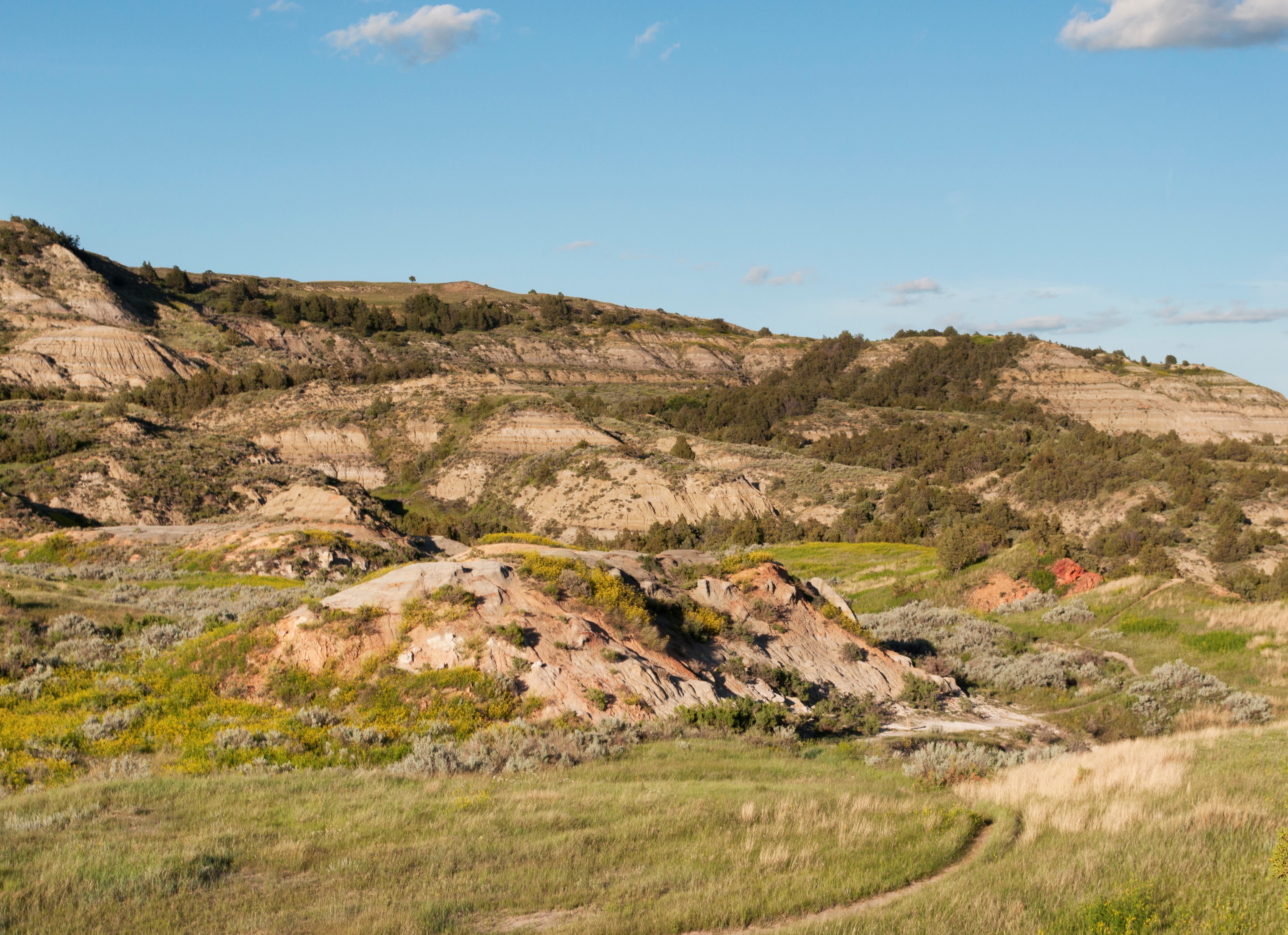
Carry at least three liters of water. There are zero reliable water sources along the South Unit section, and the exposed clay terrain radiates heat like an oven from June through August. A sun hat and electrolytes are non-negotiable.
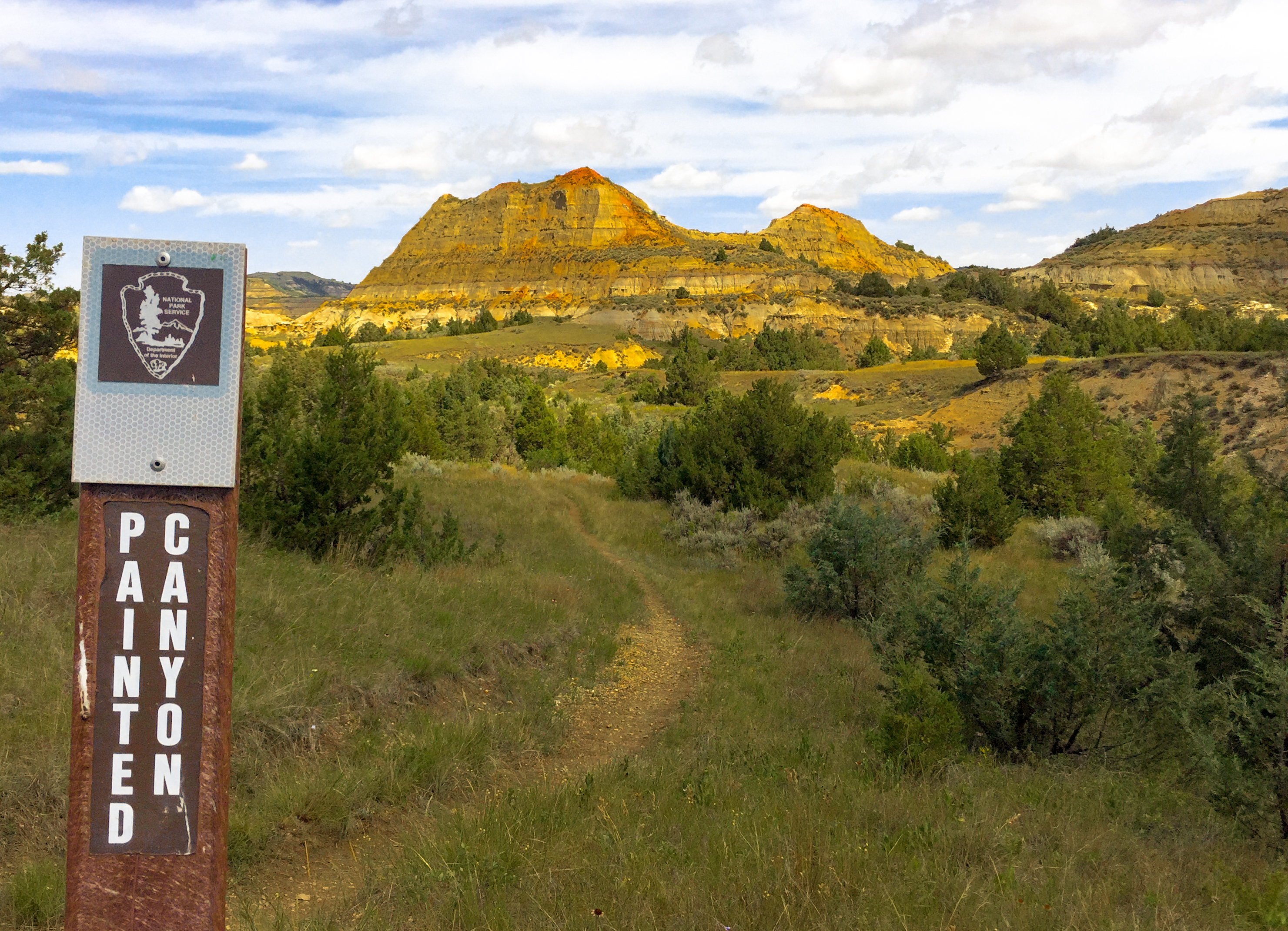
The best photography happens in the first and last hour of daylight, when the bentonite clay buttes glow in shades of burnt orange and deep purple. The ridgeline about three miles in offers an unobstructed 360-degree view — worth timing your hike around.