Upper Paddock/Talkington Loop
What to Expect
Safety Advisory
Bison regularly use the creek bottoms as travel corridors on this route. Give them at least 100 yards and never try to pass a bison on a narrow trail — backtrack and wait them out.
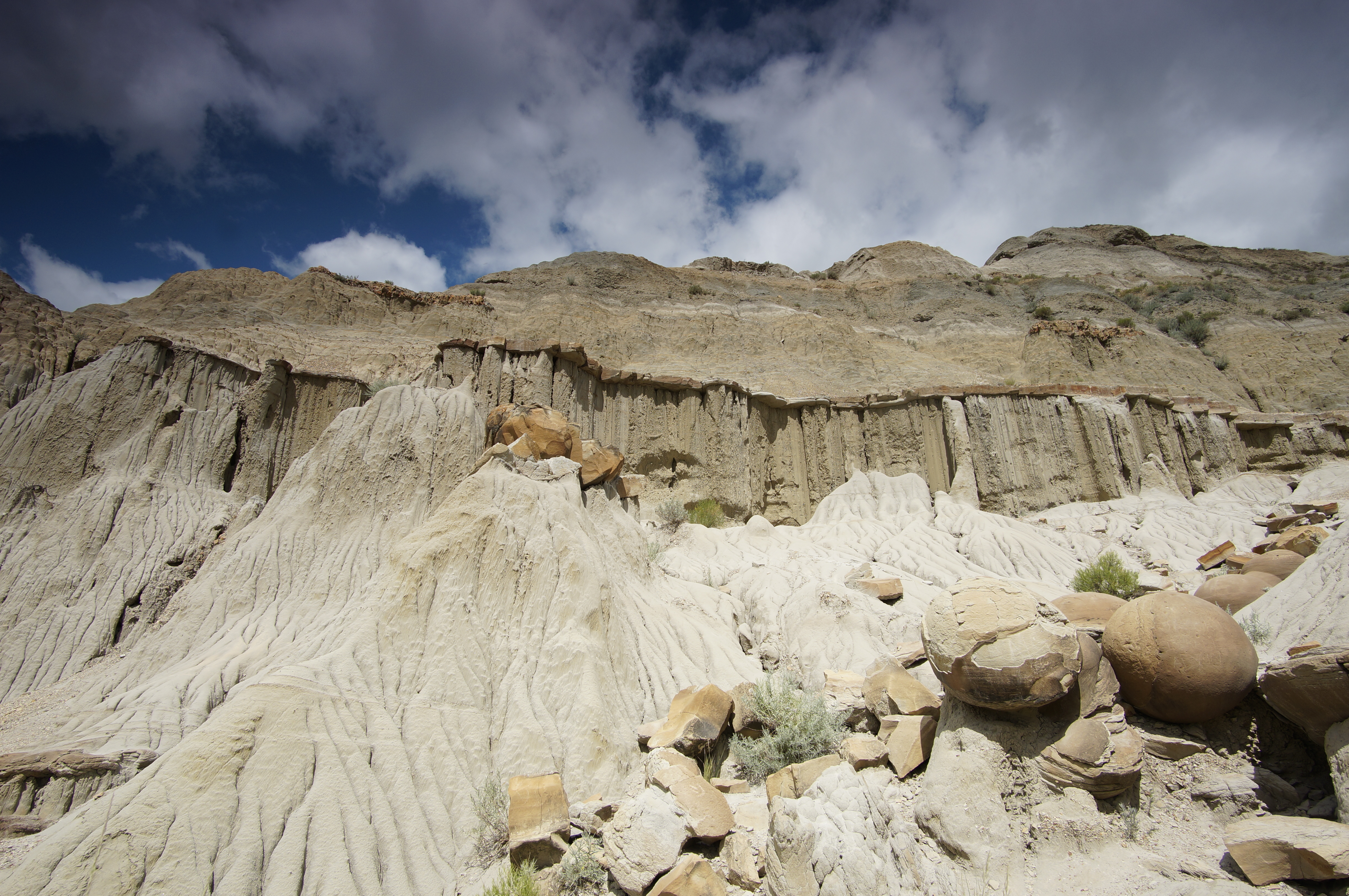
The clay soil becomes dangerously slick when wet. Even light rain can turn the ridge sections into a skating rink, and the creek crossings can flash-flood with little warning during summer storms.
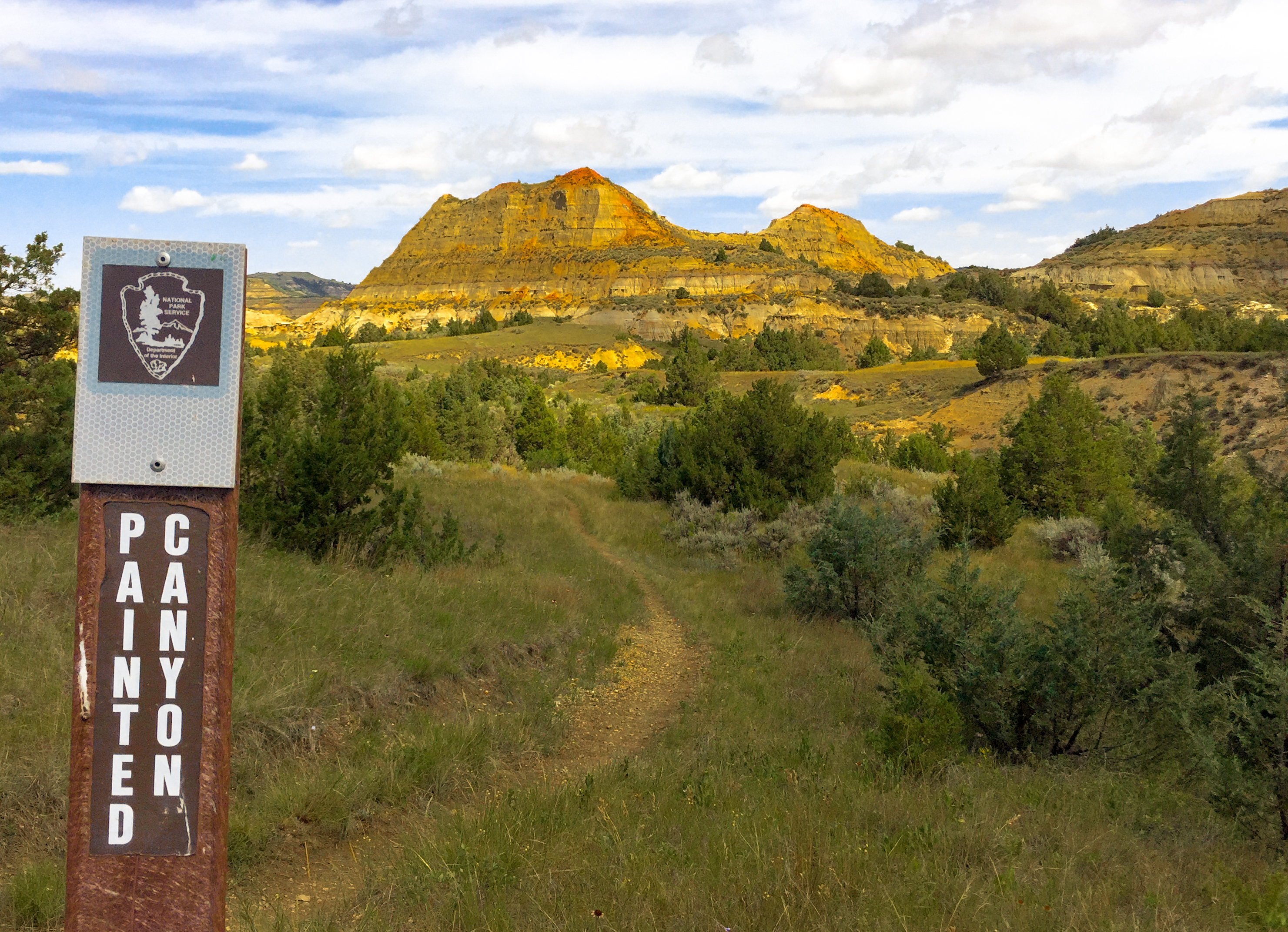
There is virtually no shade on the upper portions of this loop. Heat exhaustion is a real concern from June through August — start at dawn and carry at least three liters per person.
Trail Details
- 1
Run this loop clockwise starting on the Lower Talkington Trail — the navigation is more intuitive and you'll tackle the steeper climbs while your legs are fresh.
- 2
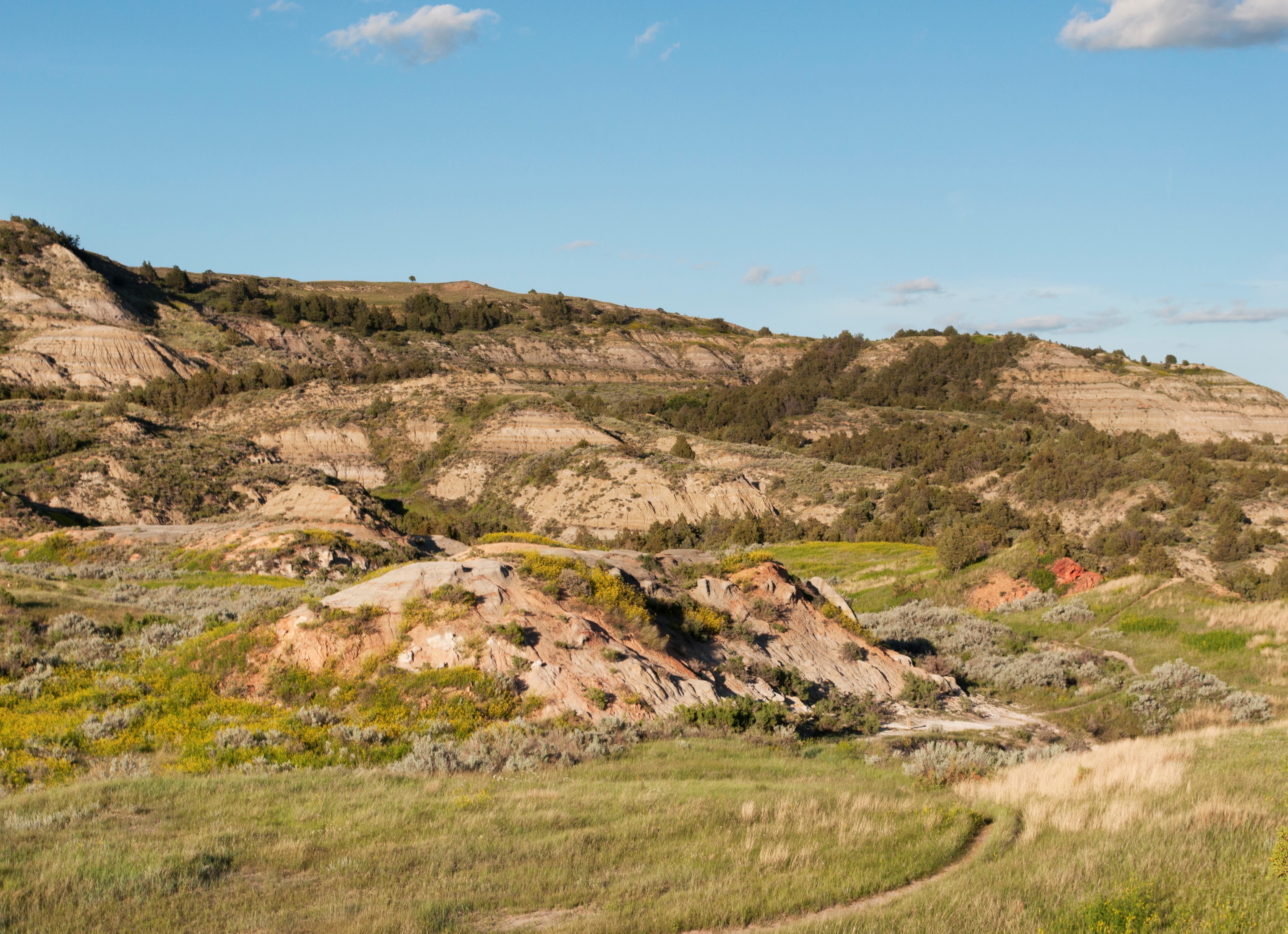
Cache water at the Talkington Creek crossing if you're doing the full loop; there are no reliable water sources on the upper ridgeline sections, and 15 miles of exposed badlands will drain your reserves faster than you think.
- 3
The junction where Upper Paddock meets Upper Talkington is poorly signed — download the NPS trail map to your phone offline before you start, and bring a paper backup. GPS tracks from AllTrails users are unreliable in the creek bottoms.