Hike Kab-Ash Trail
What to Expect
Safety Advisory
This is serious moose and black bear country. Make noise on the trail, hang food properly at primitive campsites, and give moose an especially wide berth — they are more dangerous than bears in this terrain and will stand their ground on narrow trail sections.
Cell service is effectively nonexistent along the entire corridor. Carry a detailed map, compass, or GPS device. Trail junctions through meadow sections can be easy to miss, and a wrong turn puts you deep into trackless boreal forest.
In winter, this trail is snowshoe-only and conditions can turn dangerous fast. Temperatures regularly drop well below zero, and whiteout conditions can obscure the route markers. Winter attempts require full cold-weather backcountry gear and filed trip plans.
Trail Details
Pro Tips
The Salmi Road trailhead on the Kabetogama end is currently closed — plan your access from the Ash River side via County Road 129 or the Meadwood Road near the Ash River Visitor Center. Check with a ranger before heading out, as closures shift seasonally.
Waterproof trail runners or gaiters are near-mandatory. The wetland crossings and boggy sections will soak standard hiking boots, and you'll hit several per mile in the middle sections. Trekking poles help enormously on the puncheon boardwalks.
For a manageable day hike sampler, start from the Ash River Visitor Center trailhead and do the first five miles out-and-back — you'll get the best representative mix of forest and wetland without committing to the full backcountry experience.
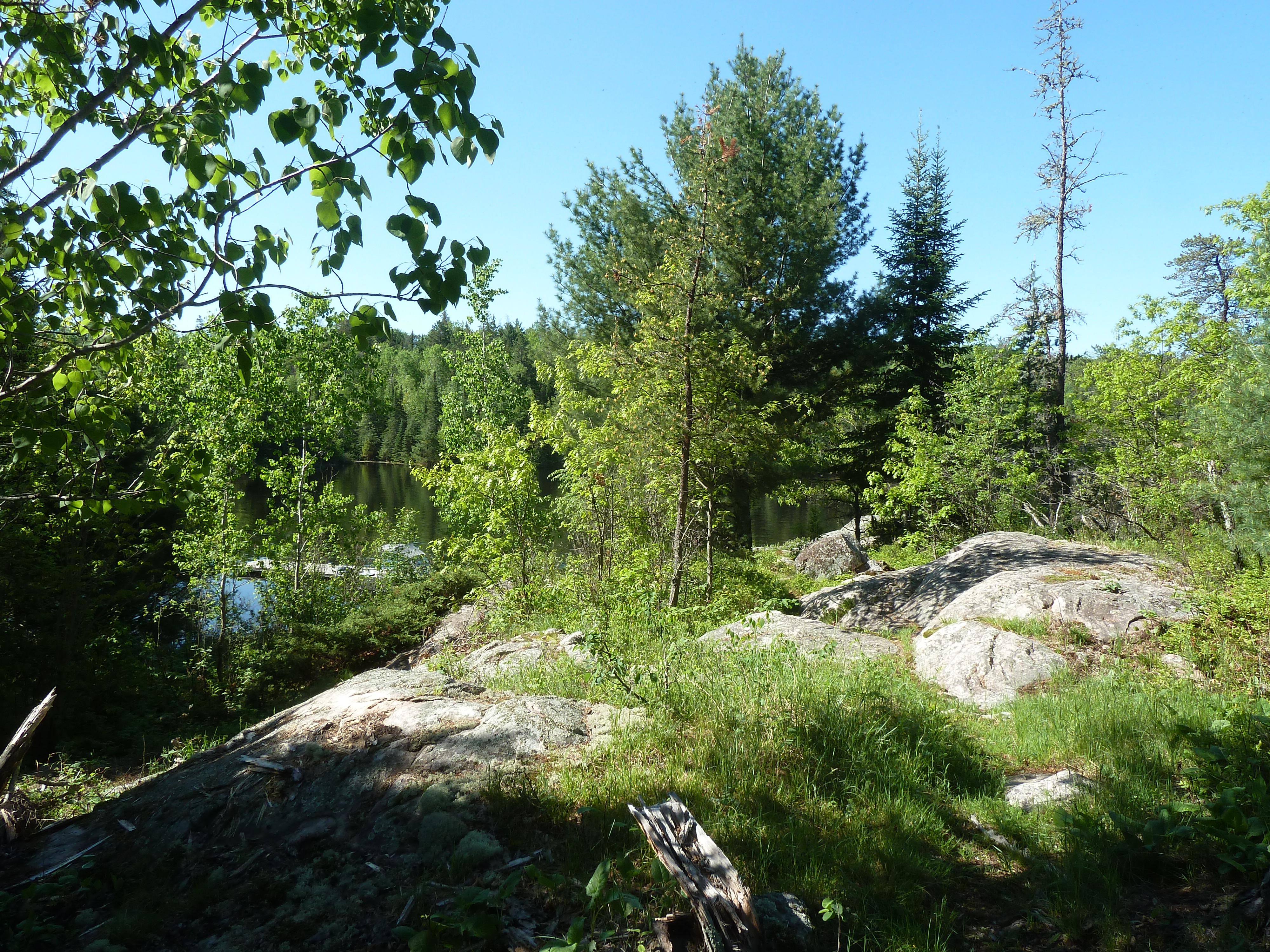
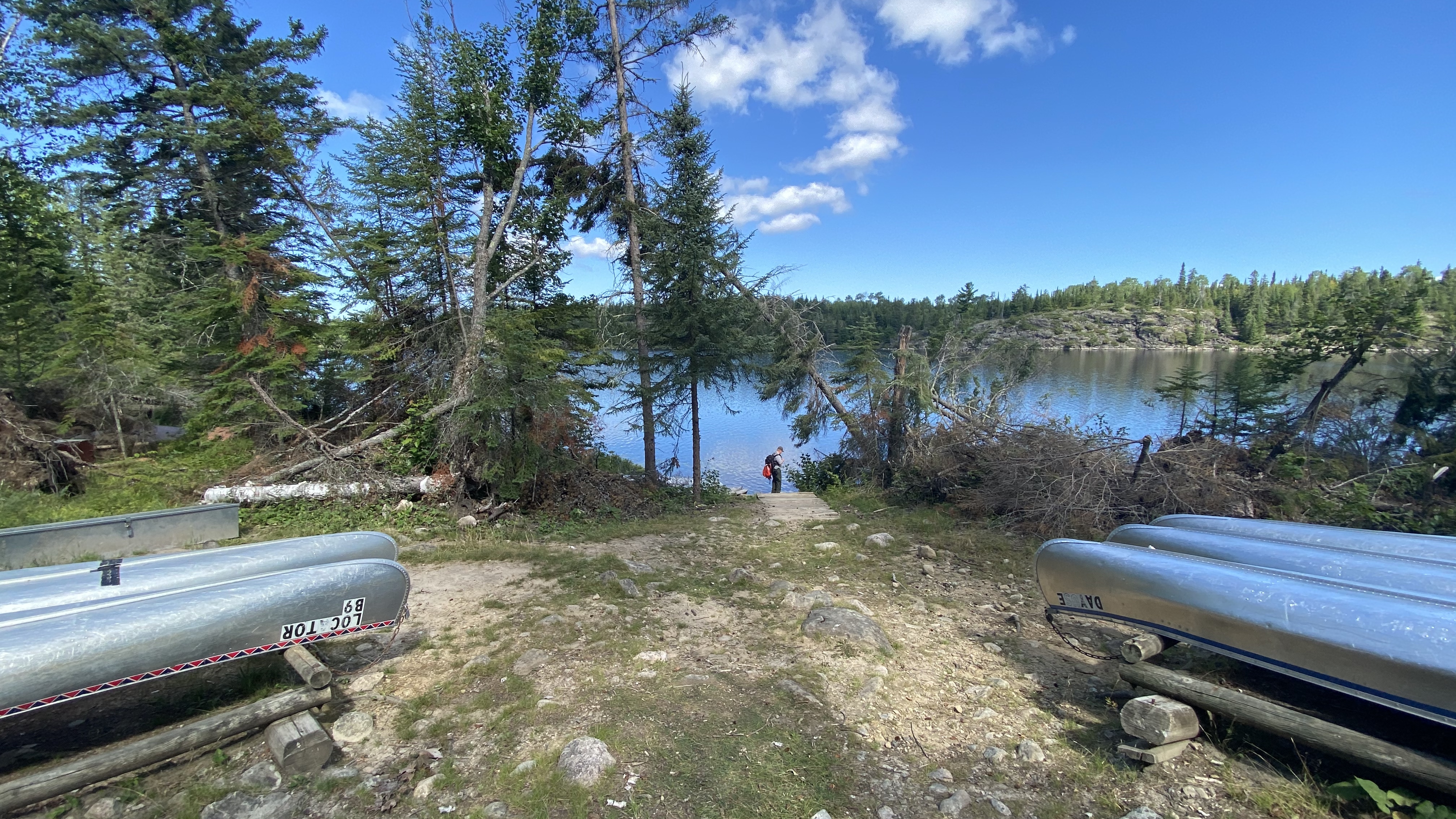
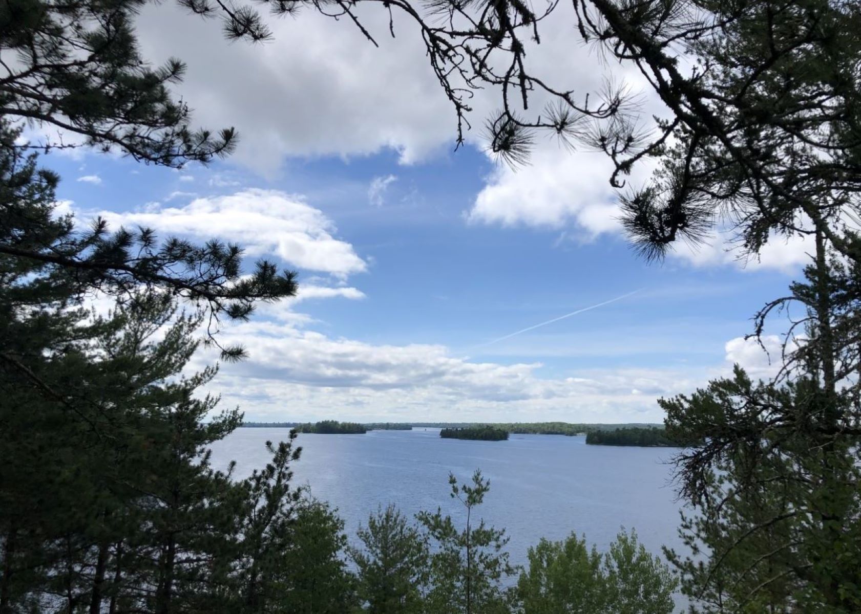
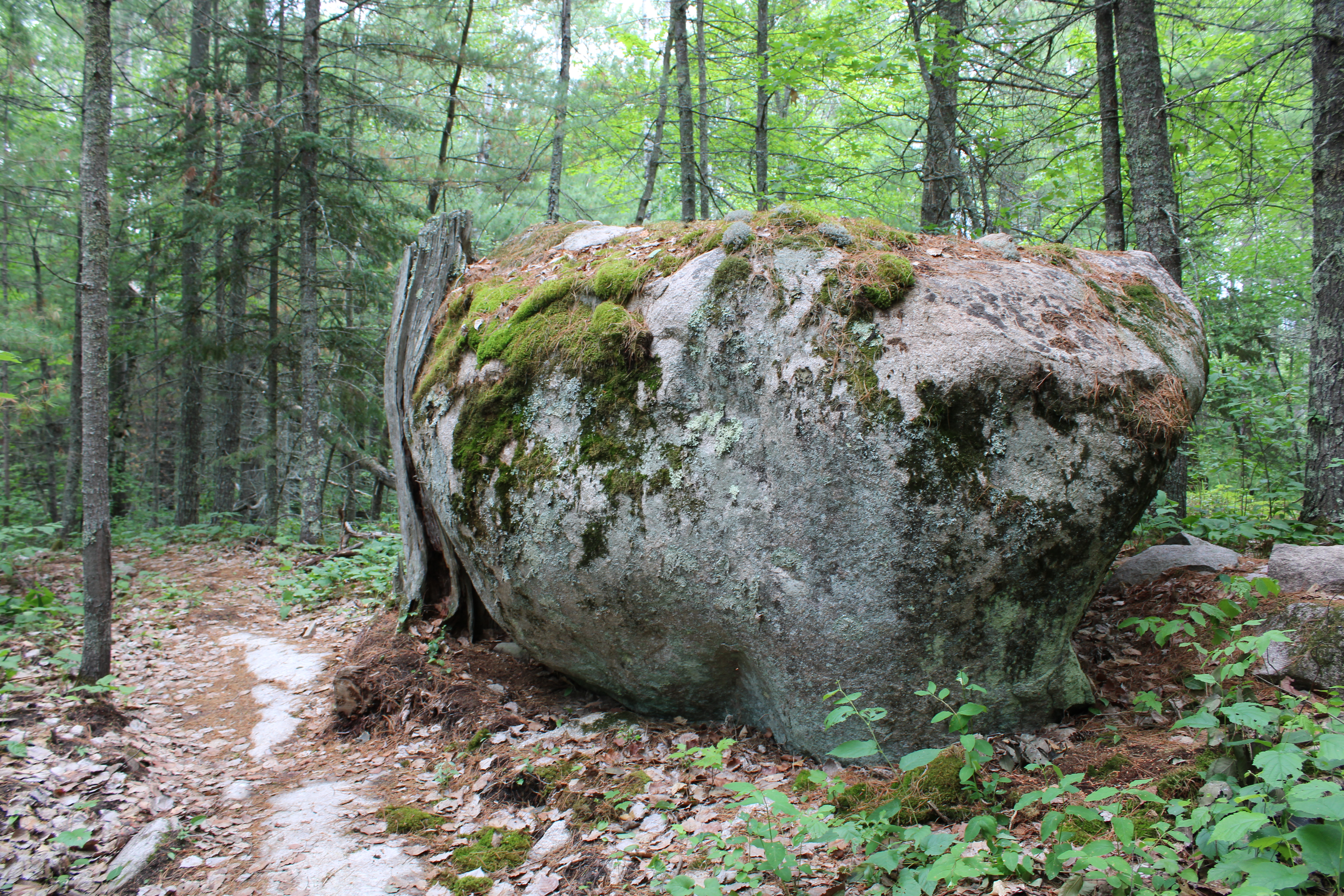
Photos
 C.Meridith/NPS