Boole Tree Trail
What to Expect
Safety Advisory
The access road is unpaved and can be rutted or muddy in spring and after storms — high clearance helps but is not strictly required in good conditions.
At roughly 6,200 feet elevation, afternoon thunderstorms are common from July through September. Start early and watch for building clouds.
Trail Details
Pro Tips
The trail runs as a loop — go counterclockwise (left at the fork) to get the steeper descent out of the way first and finish with a gentler uphill back to the trailhead.
Converse Basin sits off Generals Highway via Forest Road 13S55, a rough dirt road that most passenger cars can handle in dry conditions but gets dicey after rain. Check road status with the Hume Lake Ranger District before driving out.
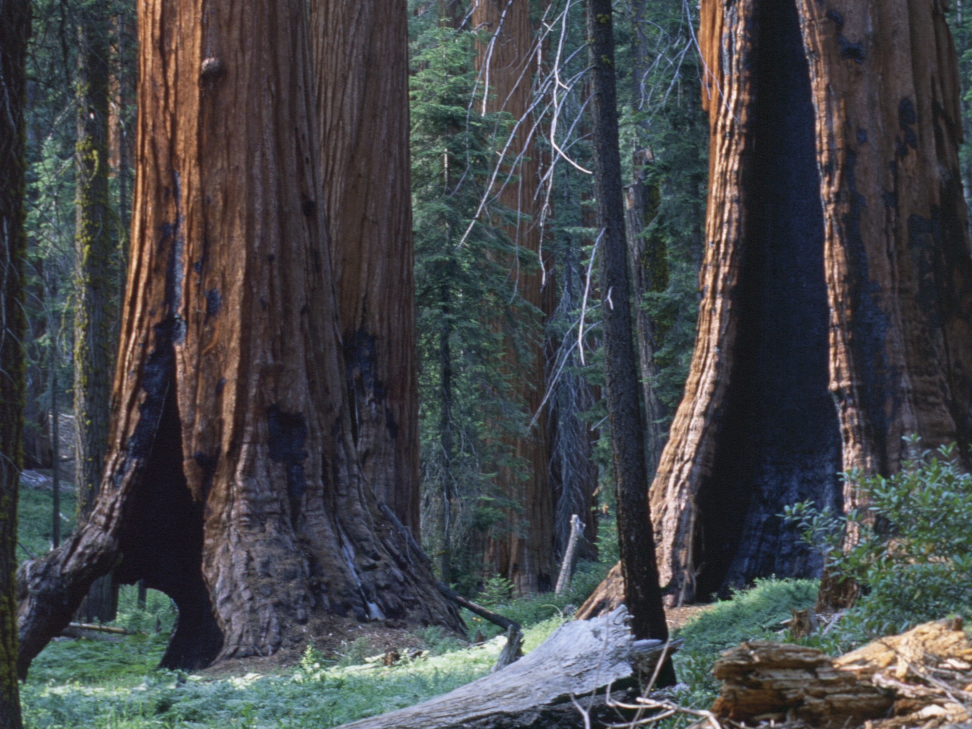
Pause at the massive stumps along the trail and look for the notches where springboards were inserted by 19th-century loggers — they tell the whole story of the basin's destruction better than any interpretive sign could.