Wrangell - St Elias National Park & Preserve

Caribou Creek Trail

moderate Solitude SeekersPhotographersExperienced Hikers
0 mi Distance
Varies Estimated Time
Out & Back Trail Type

What to Expect

Caribou Creek Trail drops you into the kind of vast, treeless Alaska backcountry that makes Lower 48 hiking feel like walking through a hallway. Starting from a pullout along the unpaved Nabesna Road, the route follows Caribou Creek upstream through open subarctic terrain — willows, tussocks, and gravel bars with the Wrangell Mountains towering in every direction. There's no maintained tread for much of it, so you're picking your own line along the creek drainage, hopping between gravel bars and alpine meadows. The payoff is pure immersion: unobstructed views of glaciated peaks, wildflower carpets in July, and a near-guarantee of solitude. Caribou and moose sightings are common, and grizzly sign even more so. This one rewards hikers who are comfortable with route-finding and don't need a summit cairn to feel like they've arrived.
Solitude SeekersPhotographersExperienced HikersWildlife WatchingBackcountry Navigation

Safety Advisory

This is prime grizzly bear habitat with no maintained sightlines. Carry bear spray on your hip (not buried in your pack), make noise constantly, and know how to use the spray before you need it.

Caribou Creek crossings can be knee-deep and swift during snowmelt or after rain. Bring trekking poles and water shoes, and be willing to turn back if the water is running fast and silty.

There is no cell service along Nabesna Road or on the trail. Let someone know your plans and expected return time — if something goes wrong out here, help is hours away.

Trail Details

Difficulty moderate
Estimated Time Varies
Trail Type Out & Back
Pets Not allowed
Season Year-round
Trailhead Caribou Creek Trail

Pro Tips

Trail Tip

Nabesna Road is rough gravel with washouts — check current road conditions with the Slana Ranger Station before driving out, and bring a full-size spare tire.

Trail Tip

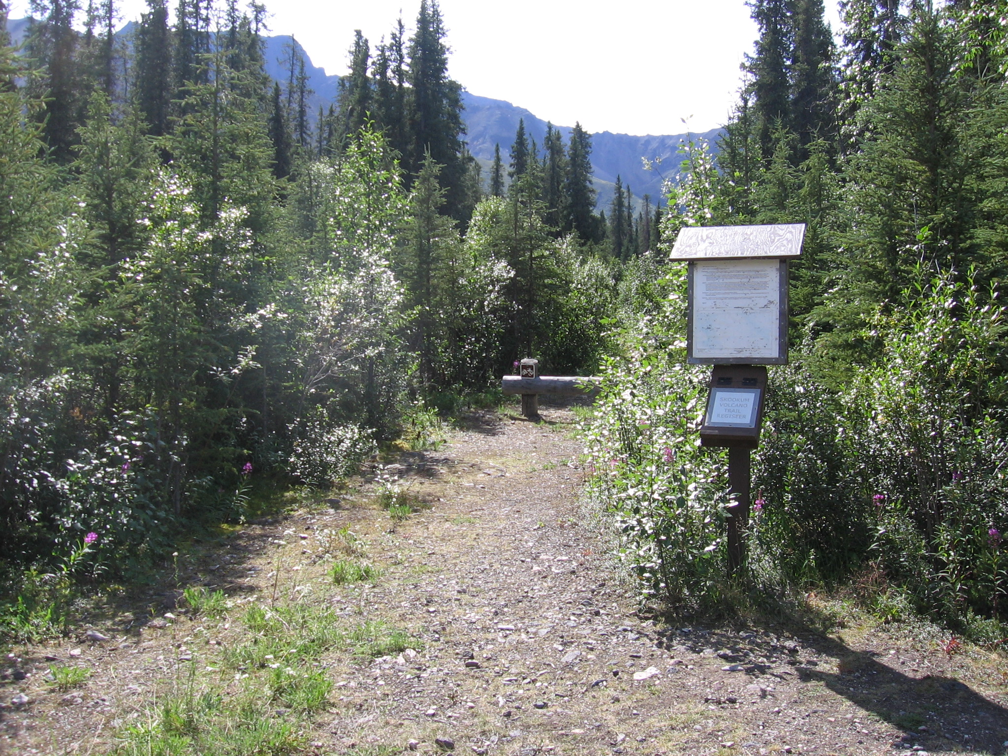
There's no formal trail for much of this route, so bring a GPS device or downloaded topo maps. Follow the creek drainage upstream and use the gravel bars as your highway when the brush thickens.

Trail Tip

Mid-July is the sweet spot: wildflowers peak, the creek is manageable for crossings, and you'll get roughly 20 hours of usable daylight to explore without rushing.

More Trails in Wrangell - St Elias & Preserve

Explore Wrangell - St Elias National Park & Preserve

1 campgrounds, 15 trails, 82K annual visitors

View Park Guide