Wrangell - St Elias National Park & Preserve

Lost Creek Trail

moderate Solitude SeekersBackcountry NavigationWilderness Photography
0 mi Distance
Varies Estimated Time
Out & Back Trail Type

What to Expect

Lost Creek Trail follows its namesake drainage up from the Nabesna Road corridor into the vast alpine terrain that makes Wrangell-St. Elias feel like another planet. The route starts in boreal forest — spruce and willow pressing in from both sides — before the tree line gives way and the valley opens into a sprawling high-country basin rimmed by peaks that most Americans will never see in person. This is not a manicured national park trail with signposts every quarter mile. Expect braided sections, creek crossings that shift with snowmelt, and stretches where the path fades into tundra and you navigate by drainage and ridgeline. The payoff is pure backcountry immersion in the largest national park in the system, with almost no one else around. Hikers who crave solitude and can handle route-finding in open terrain will find this trail deeply rewarding.
Solitude SeekersBackcountry NavigationWilderness PhotographyAdventurous Day HikersWildflower Season

Safety Advisory

This is serious grizzly bear country with very low human traffic — carry bear spray accessible on your chest strap, make noise consistently, and know how to handle a surprise encounter. You may be the first person on this trail in days.

Creek crossings can become dangerous during heavy rain or peak snowmelt in early June. Water that was ankle-deep in the morning can be knee-deep and fast-moving by afternoon. Trekking poles and water shoes are not optional.

Weather in the Wrangells shifts without warning — temperatures can drop 30 degrees in an hour when clouds move in. Pack rain gear and an insulating layer even on bluebird mornings.

Trail Details

Difficulty moderate
Estimated Time Varies
Trail Type Out & Back
Pets Not allowed
Season Year-round
Trailhead Lost Creek Trail

Pro Tips

Trail Tip

Nabesna Road is a rough, unpaved 42-mile corridor with limited services — check current road conditions with the Slana Ranger Station before driving out, as washouts and soft spots can strand vehicles well before the trailhead.

Trail Tip

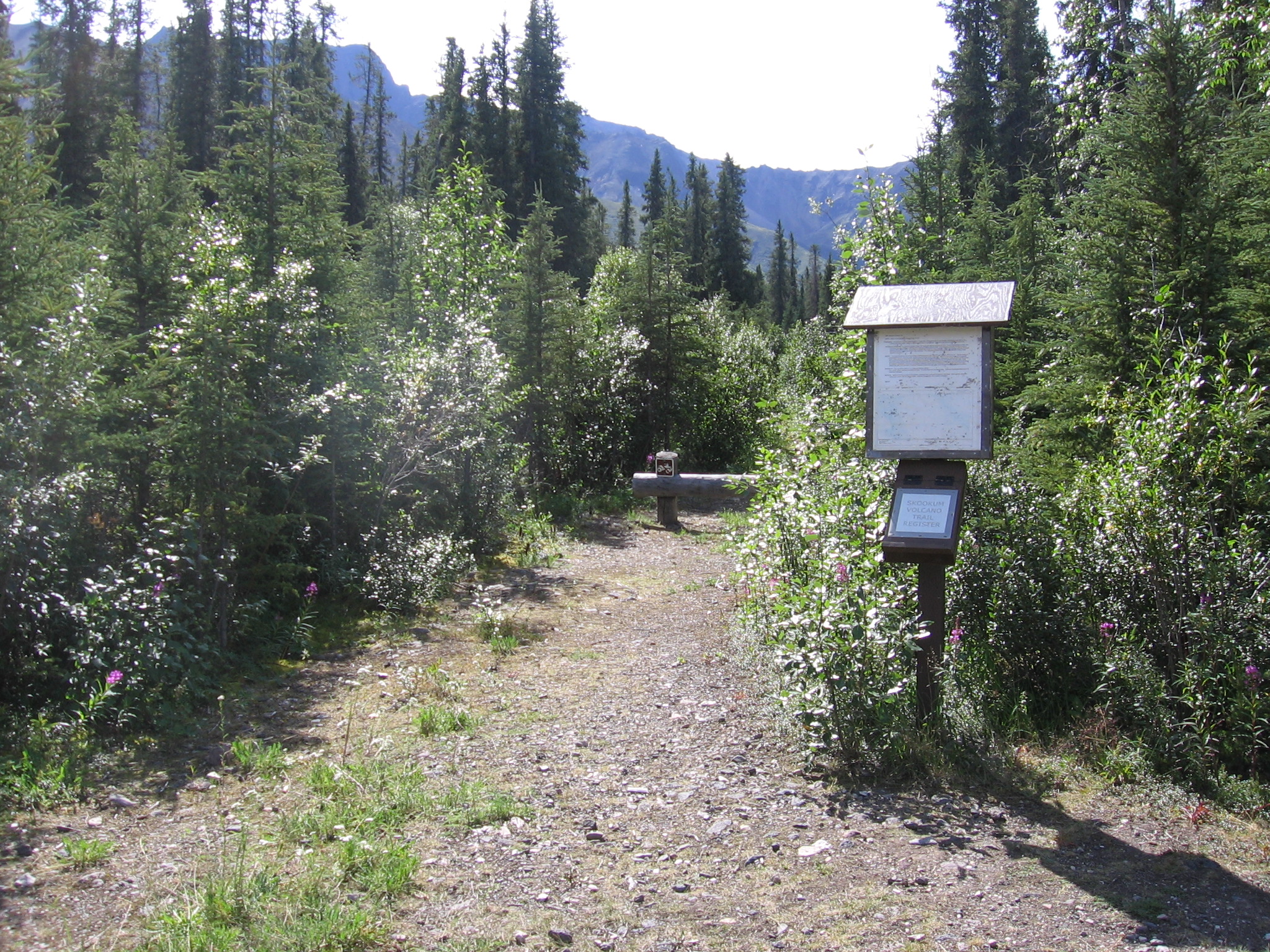
Carry a GPS unit or downloaded topo maps (Gaia GPS works well offline). Trail markers are sparse to nonexistent above tree line, and fog rolls in fast enough to erase landmarks you were using five minutes ago.

Trail Tip

Time your hike for late June through mid-July for the best combination of passable creek levels, wildflower displays across the alpine tundra, and roughly 20 hours of usable daylight that lets you linger without pressure.

More Trails in Wrangell - St Elias & Preserve

Explore Wrangell - St Elias National Park & Preserve

1 campgrounds, 15 trails, 82K annual visitors

View Park Guide