McCarthy Creek
What to Expect
Safety Advisory
Bear activity is a real concern along any creek drainage in Wrangell-St. Elias — carry bear spray, make noise, and know how to store food properly. Grizzlies and black bears both frequent these salmon-bearing waterways.
Creek crossings can shift dramatically with glacial melt and rain — what was ankle-deep in the morning can become knee-deep and pushy by afternoon. Bring trekking poles and be prepared to turn around if conditions change.
This is genuinely remote backcountry with no cell service and limited rescue capability — let someone know your plans, carry a satellite communicator if you have one, and don't count on seeing another soul on the trail.
Trail Details
Pro Tips
Getting to McCarthy is half the adventure — you'll need to take the McCarthy Road from Chitina (60 miles of gravel) and then walk or shuttle across the Kennicott River footbridge, so plan your logistics before worrying about the trail itself.
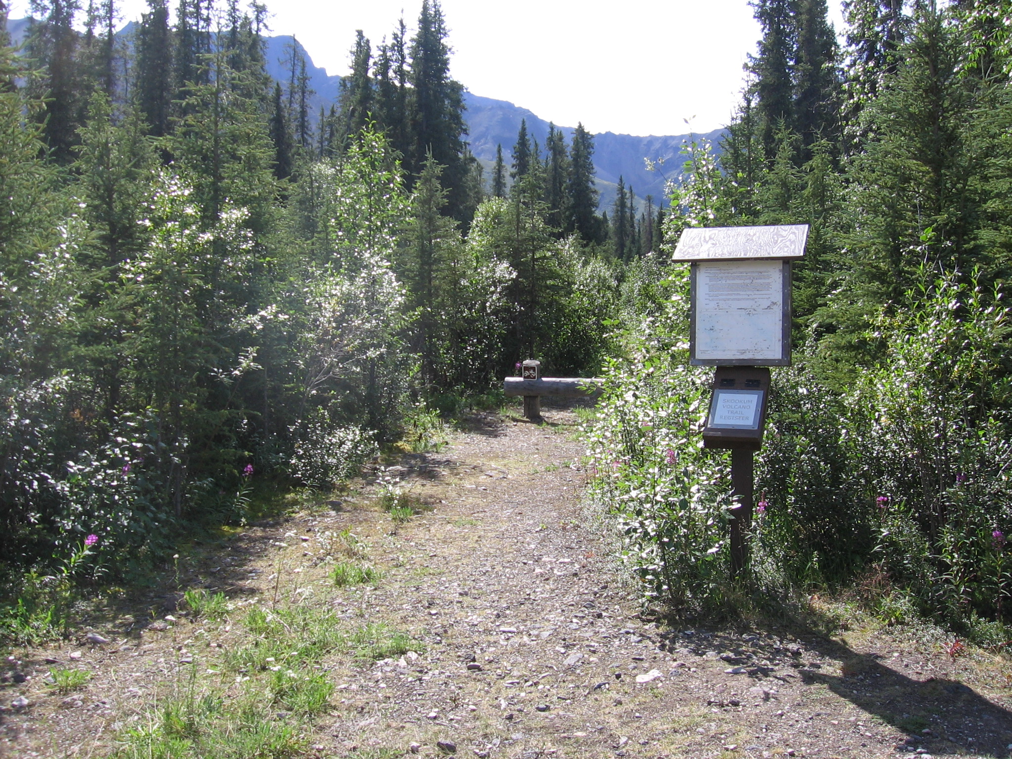
Carry a GPS device or download offline maps before you arrive — cell service is nonexistent in McCarthy, and the trail is informal enough that route-finding skills matter, especially where it crosses gravel bars.
Time your hike for July or early August when the wildflowers are peaking and the creek is manageable — by late summer the light gets golden and dramatic against the glaciated peaks, making for spectacular photography looking upstream.